


![]()
![]()
![]()
![]()
![]()
![]()
![]()
![]()

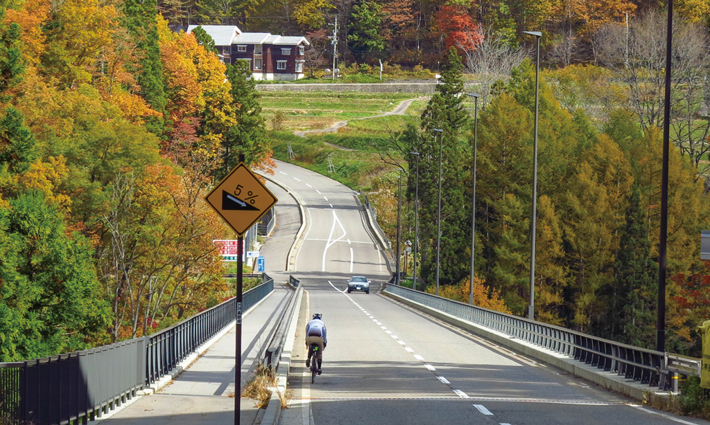
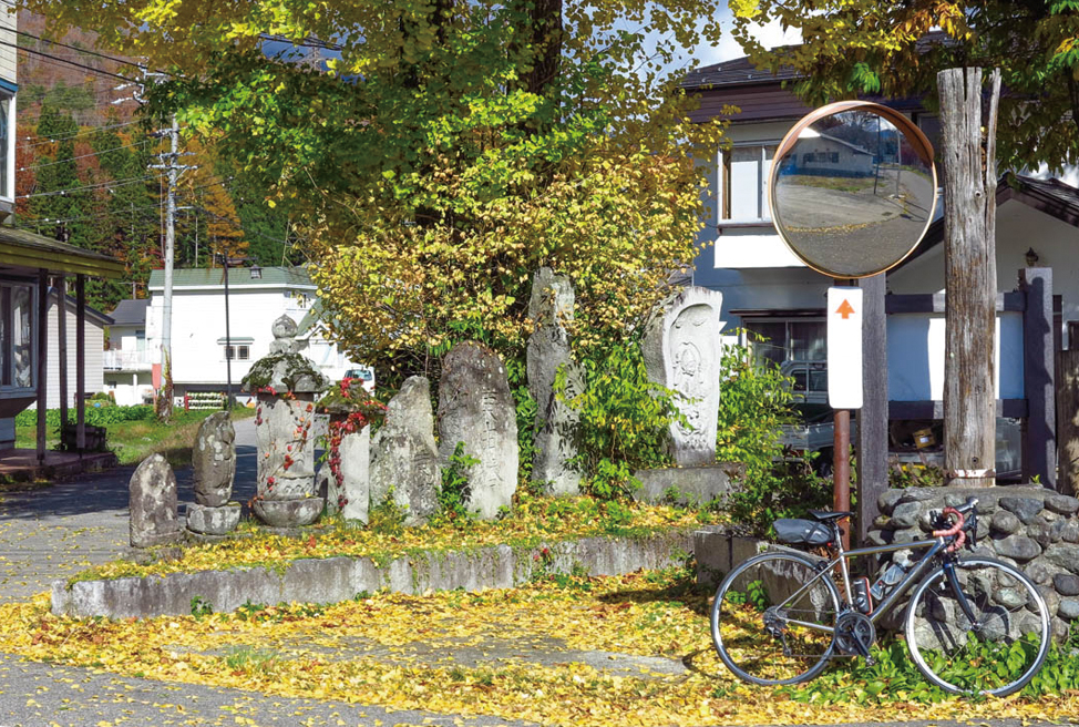

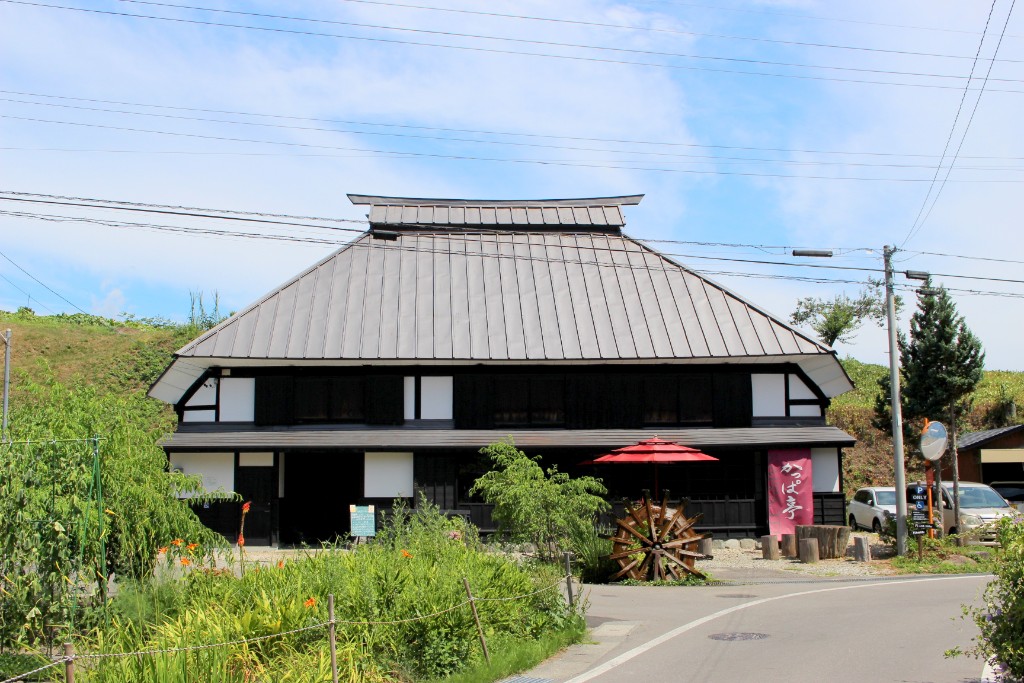
白馬駅をスタートし、松川沿いの道を緩やかに上る。目の前に広がる北アルプスの景色は大迫力だ。途中に切久保の石仏群や霧降宮切久保諏訪神社が現れ見どころも豊富だ。栂池パノラマ橋に向かって長い直線の坂道を下ると折り返し地点の栂池高原に到着。冬は雪に覆われるゲレンデが、夏には最新のアクティビティーで賑わっている。戻り道では観音原の石仏群や水車小屋などに寄り道しつつゴールの白馬駅へ。
Start at Hakuba Station and gently go up the road along the Matsukawa River. The scenery of the Northern Alps spreading out in front of you is impressive. Kirikubo's Stone Buddha Group and Kirifuri Palace Kirikubo Suwa Shrine appear along the way, and there are plenty of places to see. If you go down a long straight slope towards Tsugaike Panorama Bridge, you will arrive at the turnaround point, Tsugaike Kogen. The slopes are covered with snow in the winter, and bustling with the latest activities in the summer. On the way back, I took a detour to Kannonhara's stone butsu group and water mills while taking a detour to Hakuba Station. The English version is here. For English.
※オンラインの地図上でサイクリングルートが閲覧できるウェブサイト「ルートラボ」が2020年3月末でサービス終了したため、「bikemap」に変更したことで、bikemap内の距離や高低差に誤差が生じている場合がありますが、ご理解ご了承の程、よろしくお願いします。
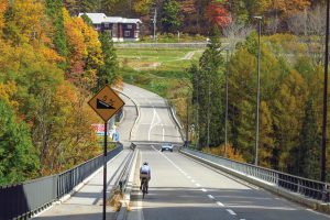
2013年に開通した栂池パノラマ橋は、真っ直ぐのびて気持ちが良い。スピードの出し過ぎ注意!
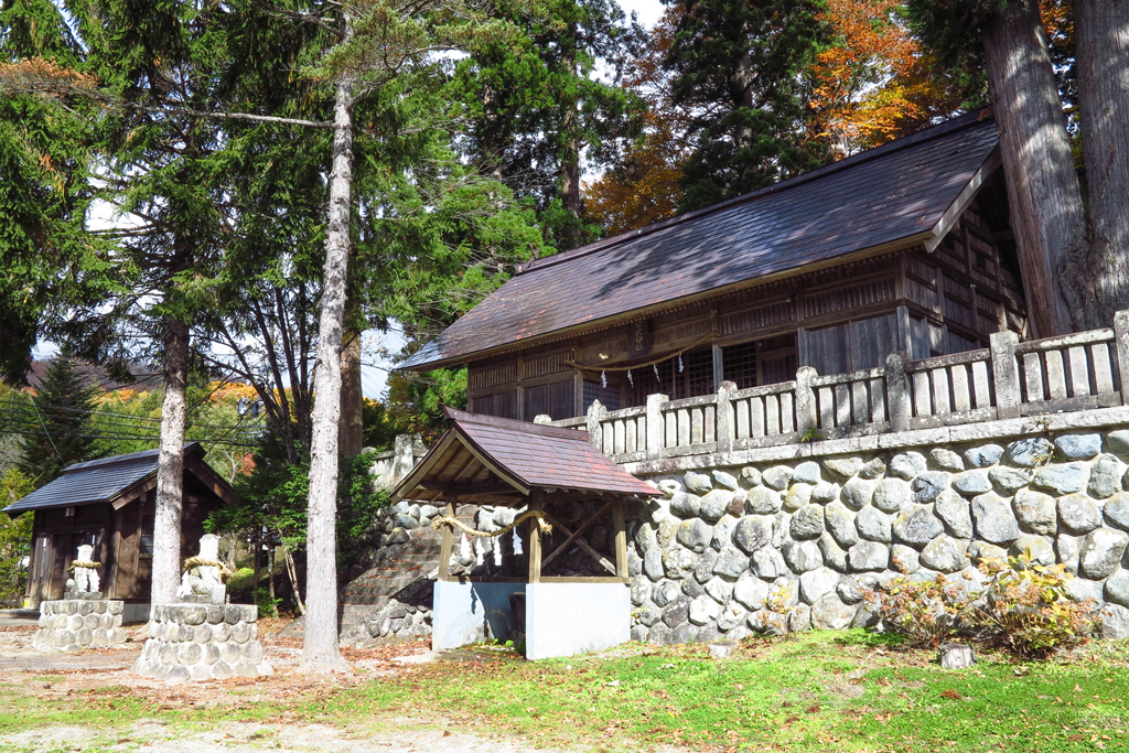
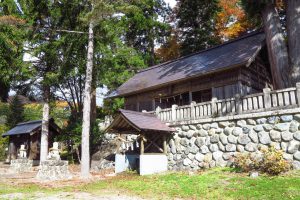
創建は不詳だが、この地域の産土神として祀られている諏訪神社、杉の大木が目を引く。
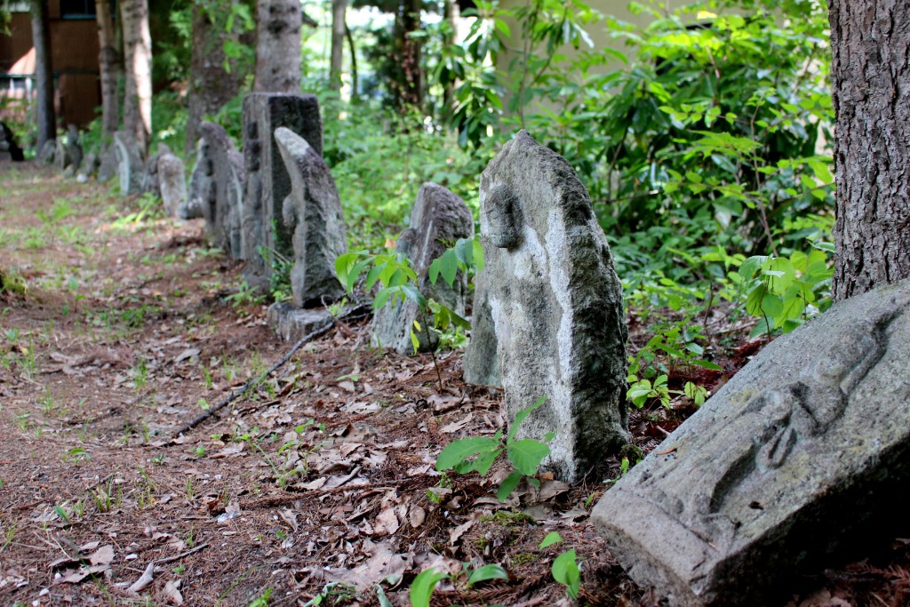
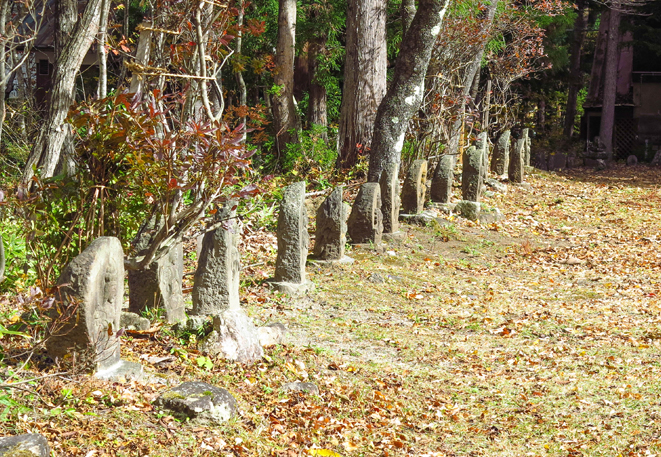
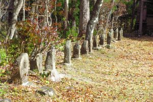
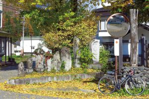
西国三十三番・坂東三十三番・秩父三十四番、それに馬頭観音など計187体もの観音が揃う石仏群。木漏れ日を浴びて小径は過去にタイムスリップ。12ポイントより150m進んだ所。
雄大な白馬連峰を背に茅葺き屋根と涼しげな姫川の清流。田舎情緒あふれる大出地区は白馬の里山風景を代表するスポットです。そこに架かる大出吊橋は、歩行者用の橋で白馬の風を感じながら歩く人々にはとっておきの場所です。姫川と吊橋とそして白馬三山の景色は、撮影やスケッチのスポットとしてもおすすめです。橋の近くには、古徑庵(こけいあん)と呼ばれる、茅葺き屋根の小屋があります。もとは江戸時代後期に建てられたもので、古人の残した文化遺産を保存しようと平成10年に復元したものです。中には情緒漂う囲炉裏と、写真や資料が置かれ、古人の生活を感じられる空間です。


