コース・マップ検索
白馬見どころ巡り
距離 Distance:
27.3km
獲得標高 上り Elevation Gain (Up):
266m
獲得標高 下り Elevation Gain (Down):
266m
最大標高差 Maximum elevation difference:
124m
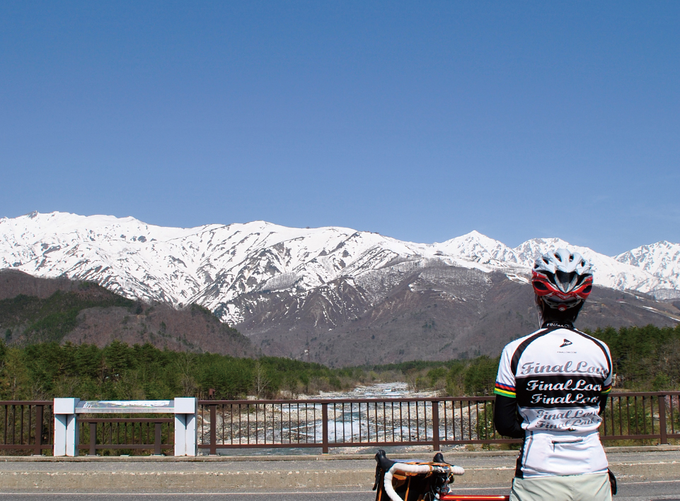
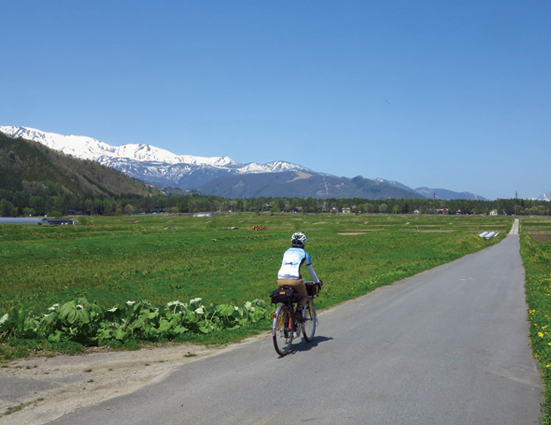
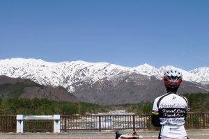
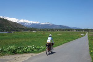
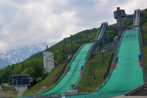
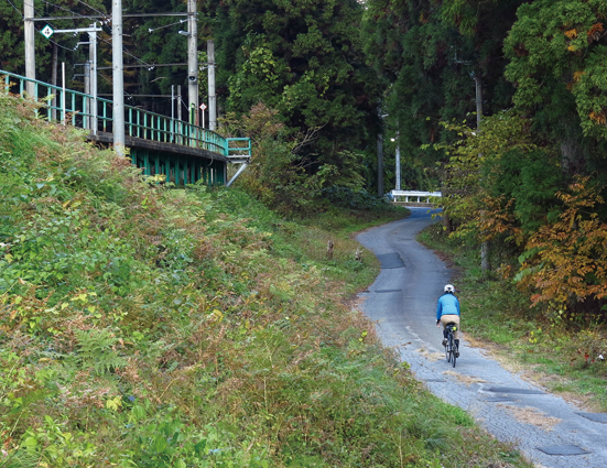
白馬の魅力をギュッと凝縮させた中級者向けのコース。キツイ上りもないので気軽に回ってみよう。白馬駅をスタートして、田んぼの中の一本道を走り姫川源流を目指す。途中の道には様々な石碑や石像などがあり、目を楽しませてくれる。姫川源流は周辺を散策できるようになっているので自転車を置いて散策してみるのも良いだろう。道の駅 白馬の先から裏道に入り、スキー場や田園風景の中を抜けて「白馬オリンピック大橋」を渡る。そのあとはのんびり白馬村の中心地を経由して白馬ジャンプ競技場に向かう。長野オリンピックの歴史がよく解るオリンピックギャラリーを見学したり、展望台に上り白馬の景色を楽しむ事ができる。最後は、松川沿いの道を気持ち良く下ればゴールの白馬駅に到着!
英語版はコチラ 。English .
A course for intermediate students that tightly condenses the appeal of Hakuba. There aren't any tough climbs, so feel free to go around. Starting at Hakuba Station, run on a straight road in a rice field and aim for the headwaters of the Himekawa River. There are various stone monuments and stone statues along the way, which are a feast for the eyes. The headwaters of the Himekawa River can now be explored, so it's a good idea to leave your bicycle behind and take a walk. Enter the back road from the end of Roadside Station Hakuba, pass through ski resorts and rural scenery, and cross the "Hakuba Olympic Bridge." After that, I leisurely headed to the Hakuba Jump Stadium via the center of Hakuba Village. You can visit the Olympic Gallery, where you can clearly understand the history of the Nagano Olympics, and go up to the observatory and enjoy the scenery of Hakuba. Finally, if you go down the road along the Matsukawa River comfortably, you will arrive at Hakuba Station, the goal! The English version is here. For English .
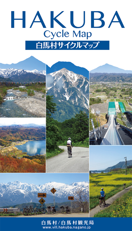
コース掲載マップ HAKUBA Cycle Map(白馬村サイクルマップ)
関連記事
オススメスポット ビュースポット いきもの・植物 グルメ ショッピング 道の駅 温泉 宿泊 病院 レンタサイクル 自転車販売店 サイクリングサポート トイレ その他
※オンラインの地図上でサイクリングルートが閲覧できるウェブサイト「ルートラボ」が2020年3月末でサービス終了したため、「bikemap」に変更したことで、bikemap内の距離や高低差に誤差が生じている場合がありますが、ご理解ご了承の程、よろしくお願いします。
コース周辺スポット
全て
オススメスポット
ビュースポット
いきもの・植物
ショッピング
道の駅
病院
レンタサイクル
サイクリングサポート
その他
で絞り込む
白馬オリンピック大橋
白馬オリンピック大橋から見る北アルプス、流れる水が美しい。
オリンピック記念石彫公園
南神城駅
国道を避けて南神城駅の前を走ると、短いが森の中を走る事が出来て楽しい。
田んぼ道
畑の中を通る真っ直ぐな一本道。車も少なく気持ち良く走る事ができる。
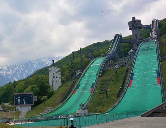
白馬ジャンプ競技台
長野オリンピックで日本中が注目した白馬ジャンプ競技台。
住所:長野県北安曇郡白馬村大字北城
TEL:0261-72-7611
営業時間:
【リフト乗車時間】
[4/1~11/30]8:30~16:30
[12/1~3/31]9:00~15:30
定休日:
[リフト運休日]4月上旬・12月上旬
料金:大人460円、小学生・中学生 280円
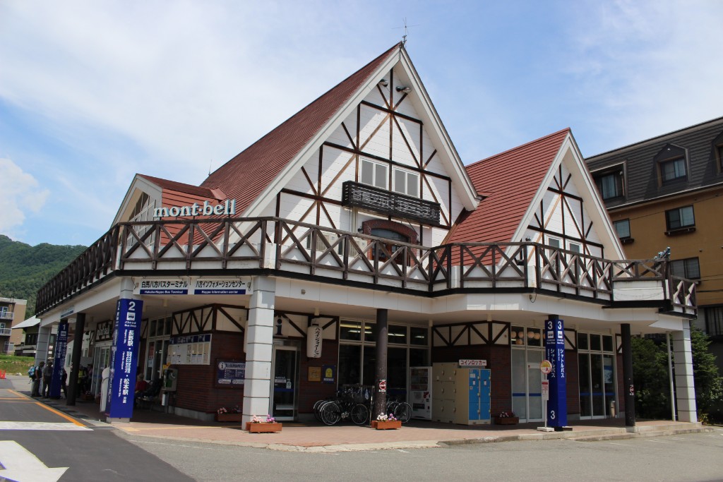
八方インフォメーションセンター
住所:長野県北安曇郡白馬村大字北城5734-1
TEL:0261-72-3066
営業時間:
[夏季]6:00~18:00(3月26日〜12月中旬)
定休日:
無休
料金:[レンタサイクル]タウン・子供用自転車 450円(1時間)、1,600円(1日)
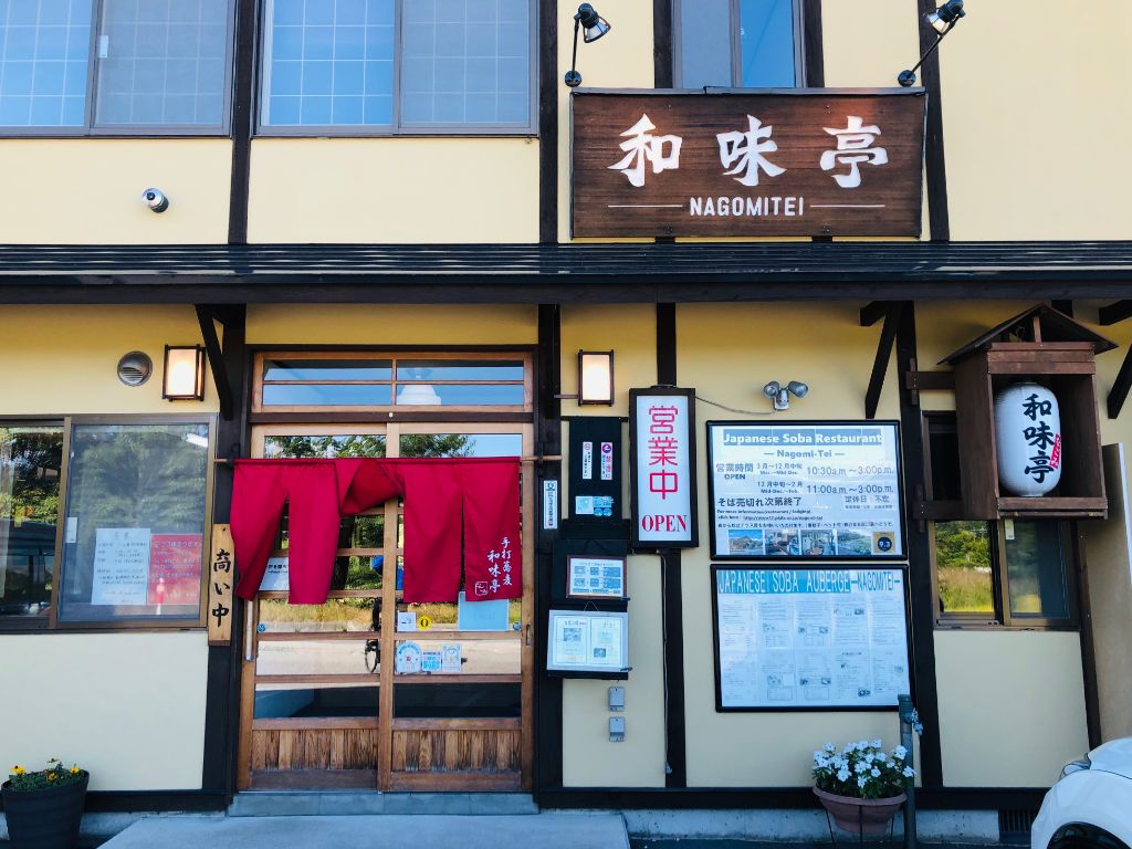
和味亭
住所:長野県北安曇郡白馬村北城3140
TEL:0261-72-7797
営業時間:
[3~12月中旬]10:30~15:00
定休日:
不定休
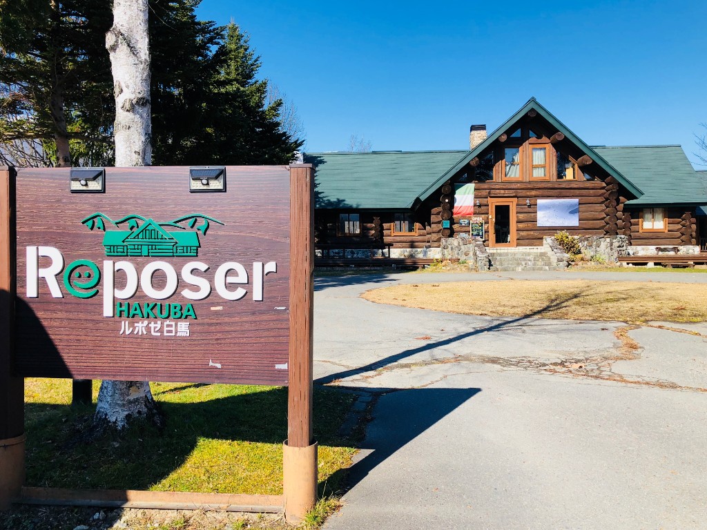
ルポゼ白馬
住所:長野県北安曇郡白馬村大字北城3030-1
TEL:0261-85-2822
営業時間:
[レストラン]11:30~14:30
定休日:
[レストラン・カフェ]火曜日
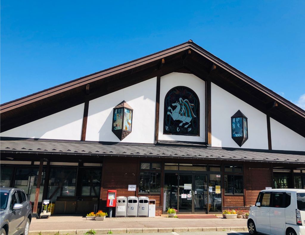
道の駅 白馬
住所:長野県北安曇郡白馬村神城21462-1
TEL:0261-75-3880
営業時間:
[売店]9:00~19:00
定休日:
火曜日定休期間4月~7月中旬と11月~12月(祝日翌日)
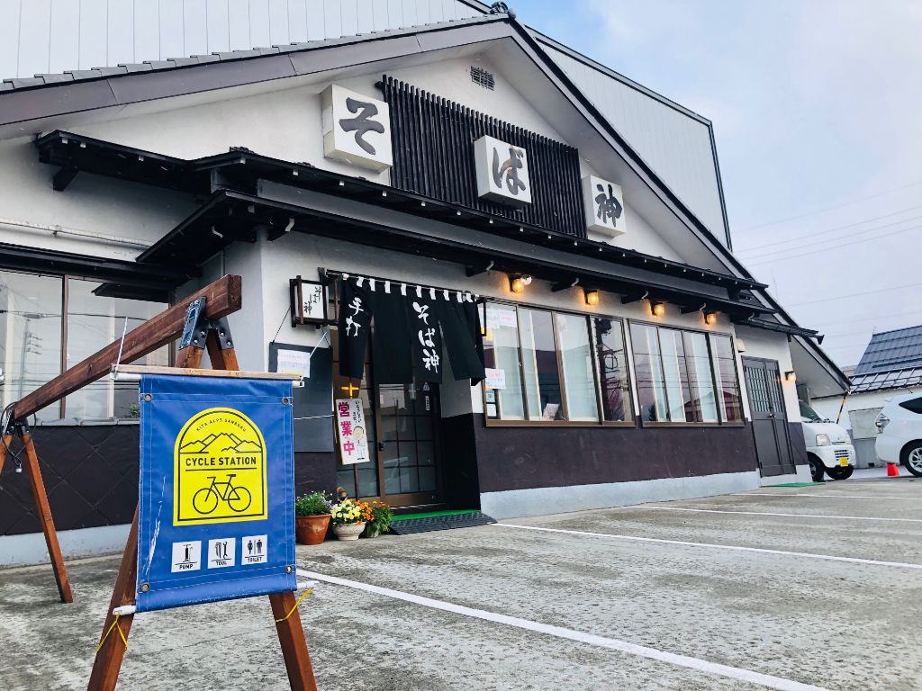
そば神白馬店
住所:長野県北安曇郡白馬村大字北城白馬町2126-2
TEL:0261-72-2055
営業時間:
11:00~15:00
定休日:
木曜日
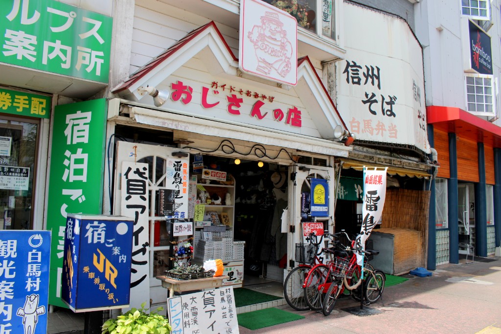
おじさんの店
住所:長野県北安曇郡白馬村大字北城6140-1
TEL:0261-72-2129
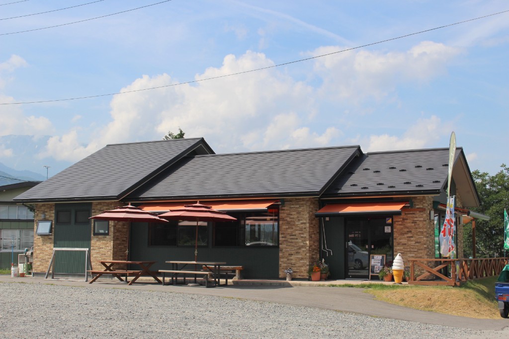
白馬そだち農かふぇ
住所:長野県北安曇郡白馬村神城23603
TEL:0261-75-3202
営業時間:
[夏季(7・8月)]9:00~18:00(日~木曜日) 9:00~20:00(金、土曜日)
定休日:
[夏季(7・8月)]無休 [夏季以外(9~6月)]水曜日
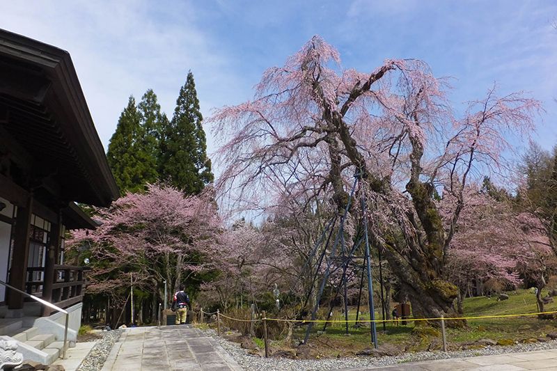
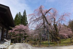
貞麟寺
貞麟寺は春になると樹齢300年を越える枝垂れ桜やカタクリが楽しめる。
住所:長野県北安曇郡白馬村神城沢渡6482
TEL:0261-75-2620
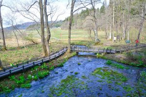
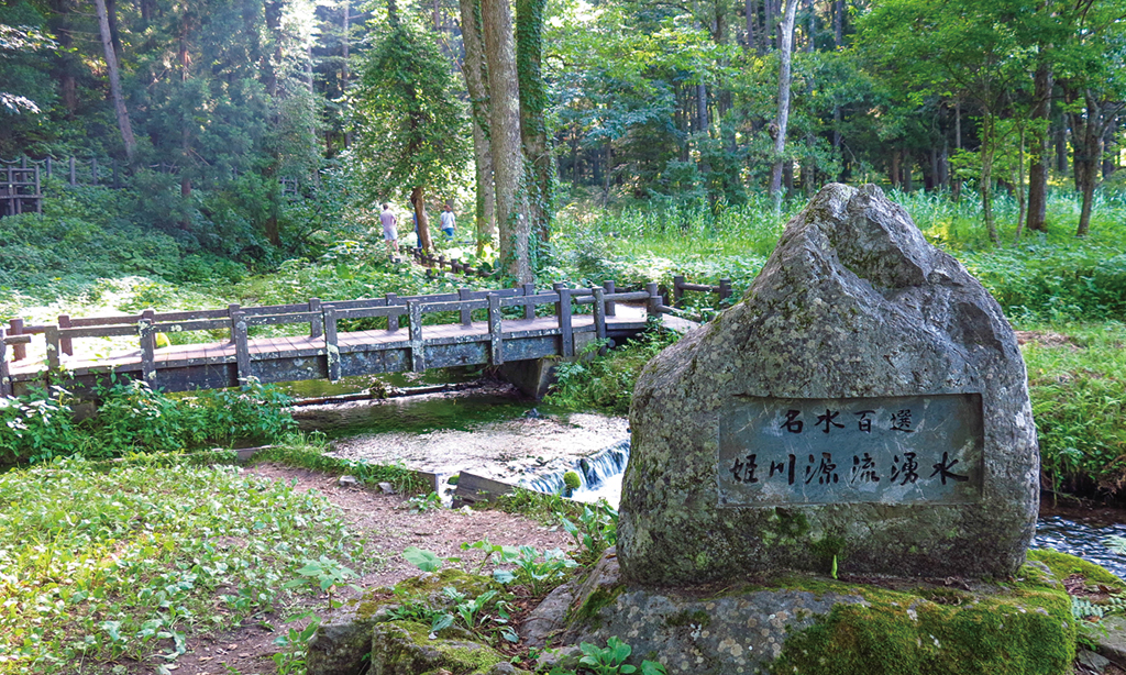
姫川源流自然探勝園(姫川源流・親海湿原)
一級河川の源流としては大変めずらしい、国道や民家に近い湧水群「姫川源流」。福寿草やバイカモの群生、きれいな水の中に泳ぐ岩魚の姿を遊歩道から間近に見ることができます。隣接の「親海湿原」は、ぜひ訪れてほしい希少な植物の宝庫。日本名水百選。園内での自転車走行は禁止されております。
FULL MARKS 白馬
住所:長野県北安曇野白馬村北城5595-11
TEL:0261-72-7344
営業時間:
12:00~20:00
定休日:
4月~11月水曜日定休、12月~3月無休
Mauka outdoor
住所:長野県 北安曇郡白馬村北城12322
TEL:080-8410-6800
営業時間:
08:00~20:00
横沢医院
住所:長野県北安曇郡白馬村大字北城9715-2
TEL:2061-72-2008
白馬ライオンアドベンチャー
住所:長野県北安曇郡白馬村北城5746-3
TEL:0261-72-5061
白馬アドベンチャークラブ
住所:長野県北安曇郡白馬村大字北城3020-1116
TEL:0261-72-5323
営業時間:
A便 8 : 30
料金:大人8000円、子供6000円
Ricca
住所:長野県北安曇郡白馬村北城2548−2
TEL:0261-85-0321
営業時間:
11:00~18:00
定休日:
水曜日
ザ・ビッグ 白馬店
住所:長野県北安曇郡白馬村 北城1007
TEL:0261-72-5133
営業時間:
9:00〜21:00
神城醫院
住所:長野県北安曇郡白馬村大字神城22844
TEL:0261-75-7050
受付時間:
[受付]8:40~
白馬五竜観光協会
住所:長野県北安曇郡白馬村神城22548 JR神城駅構内
TEL:0261-75-3131
白馬五竜エスカルプラザ
住所:長野県北安曇郡白馬村神城22184-10
TEL:0261-75-2101
営業時間:
~12/22 6:00~17:00
白馬パラトピア五竜パラグライダースクール
住所:長野県北安曇郡白馬村神城22184-10
TEL:0261-75-3210
Field Joy パラグライダースクール白馬校
住所:長野県北安曇郡白馬村神城22184-10
TEL:0261-75-3210
営業時間:
08:00~17:00
定休日:
木曜日
旧さのさか観光協会
住所:長野県北安曇郡白馬村神城458-142
TEL:0261-75-2811
栗田医院
住所:北安曇郡白馬村大字北城5986
TEL:2061-72-2428
流星花園
住所:長野県北安曇郡白馬村北城828-334
TEL:0261-85-2183
しんたにクリニック
住所:長野県北安曇郡白馬村神城24195-56
TEL:2061-75-4177
受付時間:
[受付時間]8:30~11:30、13:30~17:00
休診日:
土曜日午後、日曜日、 第1・3土曜日
スパイシー白馬店
住所:長野県北安曇郡北城3020-118
TEL:0261-72-2858
営業時間:
冬季8:00~18:00、夏季8:00~17:00