![]()
![]()
![]()
![]()
![]()
![]()
![]()
![]()


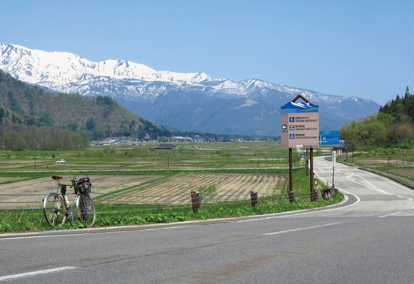

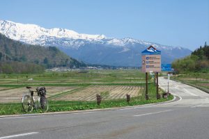
白馬駅をスタートし、サイクリストに人気のスポットを廻る欲張りコース。スタートしてまずは北上し、一本桜で有名な野平地区に向かう。昔ながらの里山の景色を堪能したら少し戻ってトンネルから見る景色が印象的な白沢峠まで約8キロのヒルクライム開始だ。
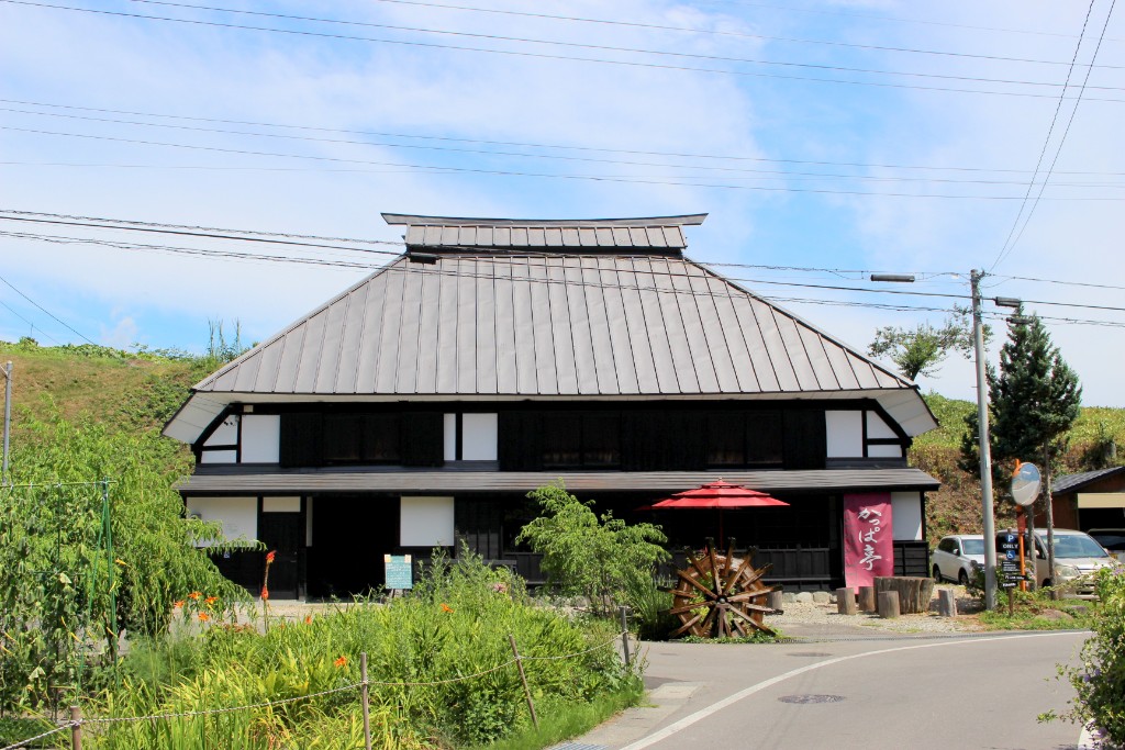
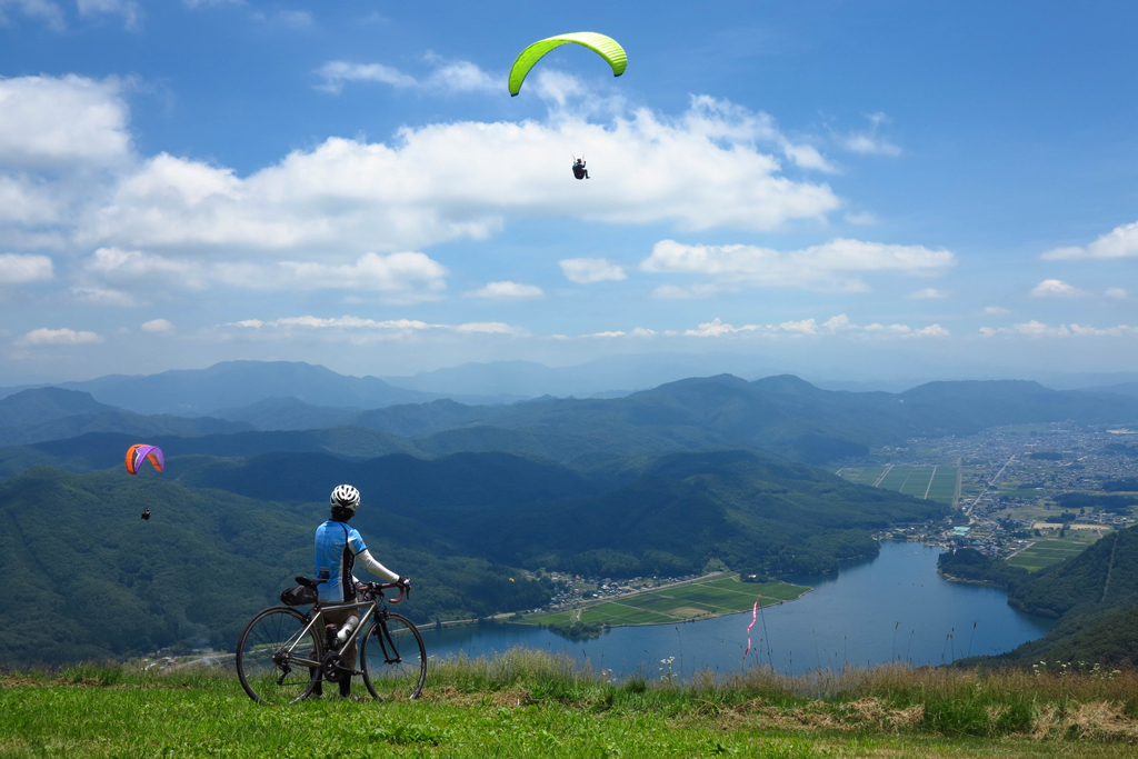
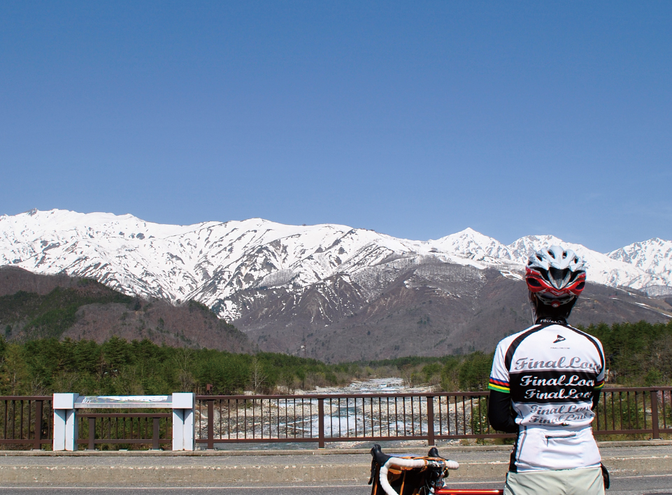
路面のひび割れが多く道幅も狭いため走行には注意しよう。白沢峠で北アルプスの絶景を堪能したら、一気にダウンヒル。県道33号を走ると藁葺き屋根の旧中村家住宅がある青貝信号に到着。ここから約4.5キロのキツイ上りの始まりだ。大町市美麻地区の水車小屋脇から荒れ気味県道393号線を下ると木崎湖に到着。アニメなどにも登場する木崎湖キャンプ場の裏から林道小熊黒沢線に入る。このルートで3度目のヒルクライムは約10キロの長い上りだが最後の絶景のために頑張ろう!林道のピークにあるパラグライダー離陸場から見る木崎湖は感動間違いなし! あとは中綱湖・青木湖の東岸を巡り白馬駅でゴール。タフなコースだが白馬村の魅力が詰まったオススメのコースだ。
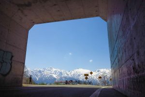
A greedy course that starts at Hakuba Station and goes around popular spots for cyclists. After starting, we first headed north and headed to the Nohira area famous for Ipponzakura. After enjoying the old-fashioned satoyama scenery, I went back a little bit and began a hill climb of about 8 kilometers to Shirasawa Pass, which has an impressive view from the tunnel.
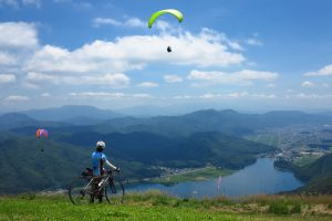
There are many cracks in the road surface and the road is narrow, so be careful when driving. After enjoying the spectacular view of the Northern Alps at Shirasawa Pass, I went downhill all at once. If you drive on prefectural road 33, you will arrive at the Aogai traffic light with the old Nakamura family house with a thatched roof. This is the beginning of a rough climb of about 4.5 kilometers from here. If you go down the rough prefectural road 393 from the side of the water mill in the Miasa district of Omachi City, you will arrive at Lake Kizaki. Enter the forest road Oguma Kurosawa Line from behind the Kizakiko campsite, which also appears in anime, etc. The third hill climb on this route is a long climb of about 10 kilometers, but let's do our best for the final spectacular view! The view of Lake Kizaki from the paraglider takeoff point at the peak of the forest road is sure to impress! After that, we toured the east coast of Lake Nakatsuna and Lake Aoki and scored a goal at Hakuba Station. It's a tough course, but it's a recommended course filled with the charm of Hakuba Village.
※オンラインの地図上でサイクリングルートが閲覧できるウェブサイト「ルートラボ」が2020年3月末でサービス終了したため、「bikemap」に変更したことで、bikemap内の距離や高低差に誤差が生じている場合がありますが、ご理解ご了承の程、よろしくお願いします。
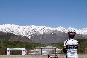
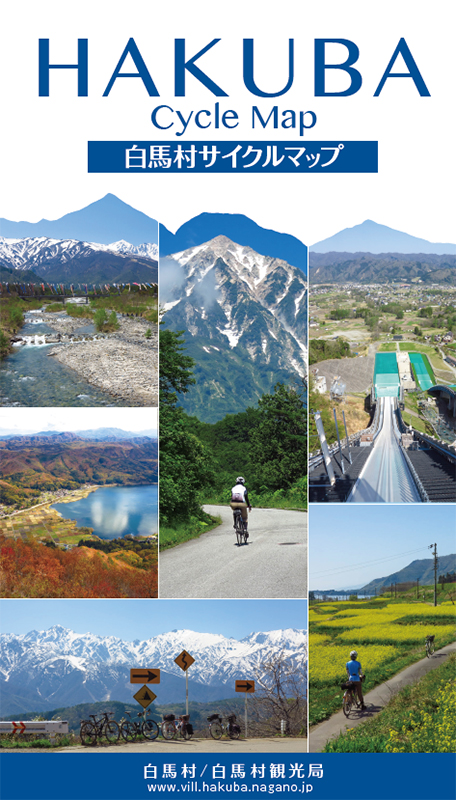
サイクリスト憧れの…と言っても過言では無い白沢峠は、後立山連峰の山々が連なる最高の景色!自転車・オートバイ・車などが立ちどまるため、混雑するので周りに注意して撮影しよう。
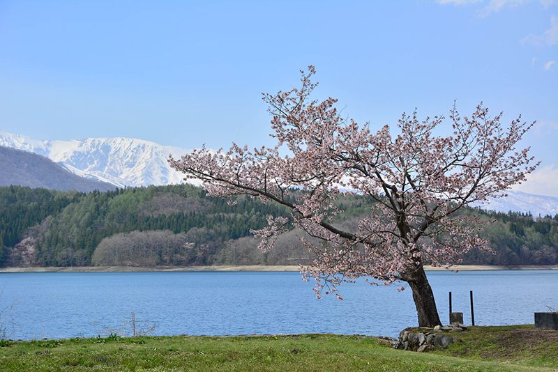
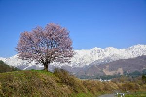
有名な野平の一本桜はGW前後が見頃。
木崎湖展望ポイントではパラグライダーの離陸が見物できる事も。
青木湖沿いで目に付く一本桜はカメラマンに人気。
白馬に向かう「安曇野アートライン」は美しい景色が続く。
白馬オリンピック大橋から見る北アルプス、流れる水が美しい。