![]()
![]()
![]()
![]()
![]()
![]()
![]()
![]()
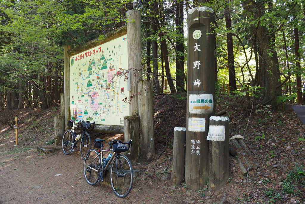
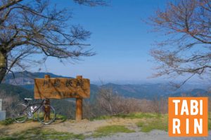
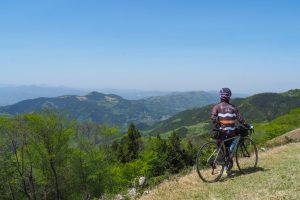
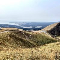
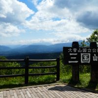
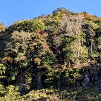
奥武蔵グリーンラインの最高地点にある峠。標高は850mである。三叉路にあり、登山道と交差しているのでハイカーも多く見かける。峠横の東屋裏を少し歩いて登ると絶景が!
This mountain pass is at the highest point of the Okumusashi Green Line. The elevation is 850 meters. It is at a three-way intersection, and since it intersects a mountain trail, many hikers can also be seen. If you walk up the back of the gazebo next to the mountain pass for a short walk, you can enjoy a spectacular view!
| 住所 | |
|---|---|
| TEL | |
| ウェブサイト | |
| 営業時間 | |
| 定休日 | |
| 料金 | |
| 備考 |