


![]()
![]()
![]()
![]()
![]()
![]()
![]()
![]()
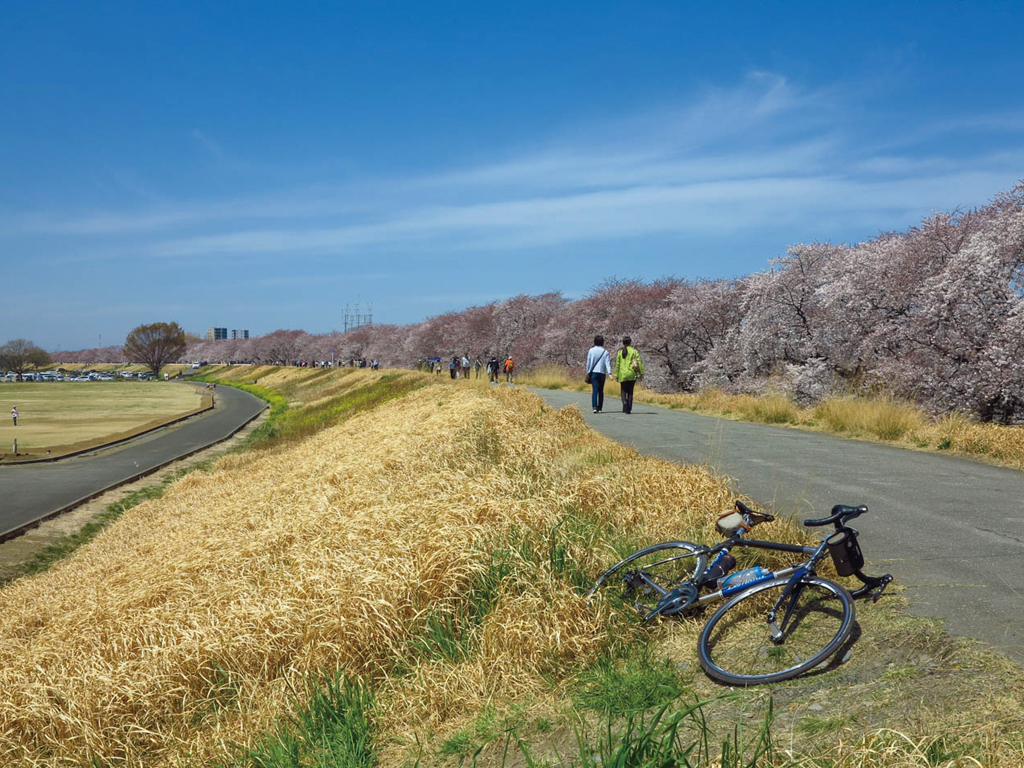


荒川ルートは右岸と左岸の2ルート紹介する。右岸は武蔵丘陵森林公園から海に向かうルート。最初は一般道を走り。大芦橋から荒川沿いに入る。前半に吉見運動公園やホンダエアポートなど見どころポイントがあるが、中盤は黙々と走る区間が長い。その分、海に到着したときの達成感は大きいといえる。左岸は葛西臨海公園からスタートして熊谷駅を目指すルート。こちらは前半の見どころは少ないが、中盤からは彩湖やカフェ、牧場が続き飽きずに進む事が出来る。都会から徐々に牧歌的な風景に変わっていくのも楽しい。春であればゴール近くの熊谷桜堤で満開の桜が出迎えてくれる
The Arakawa River Route will introduce 2 routes, the right bank and the left bank. The right bank is a route leading to the sea from Musashi Kyuryo Shinrin Park. At first, I drove on public roads. Enter along the Arakawa River from Oashi-bashi Bridge. There are highlights such as Yoshimi Athletic Park and Honda Airport in the first half, but there is a long section where they run silently in the midfield. For that reason, it can be said that there was a great sense of accomplishment when arriving at sea. The left bank is a route that starts at Kasai Rinkai Park and heads for Kumagaya Station. There are few highlights of the first half here, but from the middle, Saiko, cafes, and ranches continue, and you can continue without getting tired of it. It's also fun to gradually change from the city to an idyllic landscape. If it's spring, cherry blossoms in full bloom will welcome you at Kumagaya Sakurazutsumi near the goal
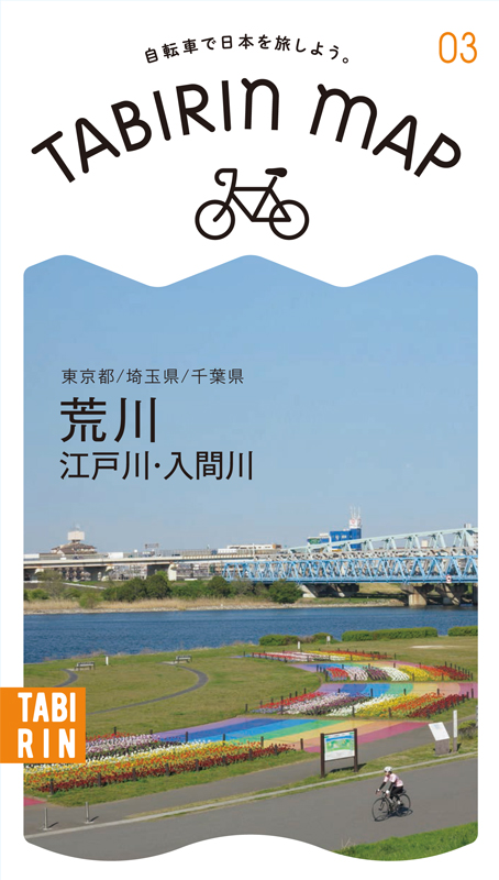
関東平野を流れる川沿いには河川敷道路が整備されており、車や交差点がなく気持ち良く走れることからサイクリストに人気だ。コース近くには自転車歓迎のカフェや食事スポットが程良い間隔であるので、その日の気分で目的地を決めて走ることができる。
このマップではその中から荒川・江戸川・入間川の3ルートを紹介。荒川は右岸&左岸ともに距離が長く走り応えタップリ。江戸川は河口から利根川分岐点まで約60kmあり、道幅が広めで走りやすい。入間川は距離が短めで初心者から気軽に楽しめる。
※上流から下流に向かって眺めたときに右側を右岸、左側が左岸となる
※オンラインの地図上でサイクリングルートが閲覧できるウェブサイト「ルートラボ」が2020年3月末でサービス終了したため、「bikemap」に変更したことで、bikemap内の距離や高低差に誤差が生じている場合がありますが、ご理解ご了承の程、よろしくお願いします。
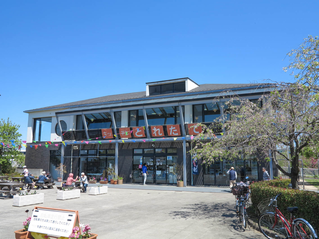
足立区都市農業公園の荒川沿いにある施設。1Fは軽食コーナー2Fはレストランとなっている。公園の畑で穫れた野菜を使ったヘルシーメニューが充実
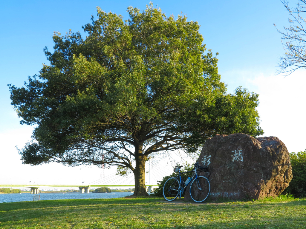
人工湖の彩湖は1周まわると約5kmなので、トレーニングとして公園を訪れるサイクリストも多い。中央駐車場近くの遊戯広場は2018年に新装オープンした。カラフルな遊具が子供達に人気
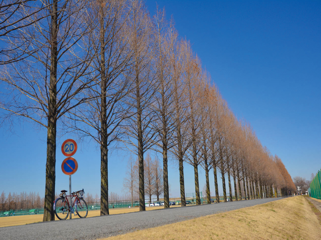
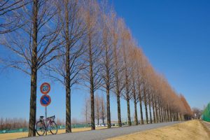
荒川河川敷に野球場・テニスコート・サッカー場などがある広大なグラウンド。場内の通路にあるのがメタセコイア並木だ。夏よりも冬の葉が落ちた姿が絵になる
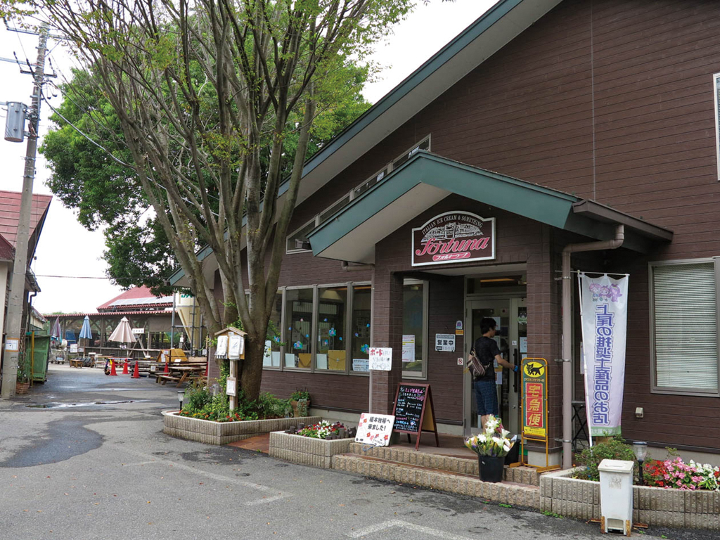
荒川沿いにあるサイクリストのオアシス的な大人気牧場。施設内にあるフォルトゥーナでは季節のジェラートや飲むヨーグルトなどが充実。夏には熱中症対策の井戸水シャワーなどのサービスがあるのも嬉しい
体育館やトレーニング室があるスポーツ施設。
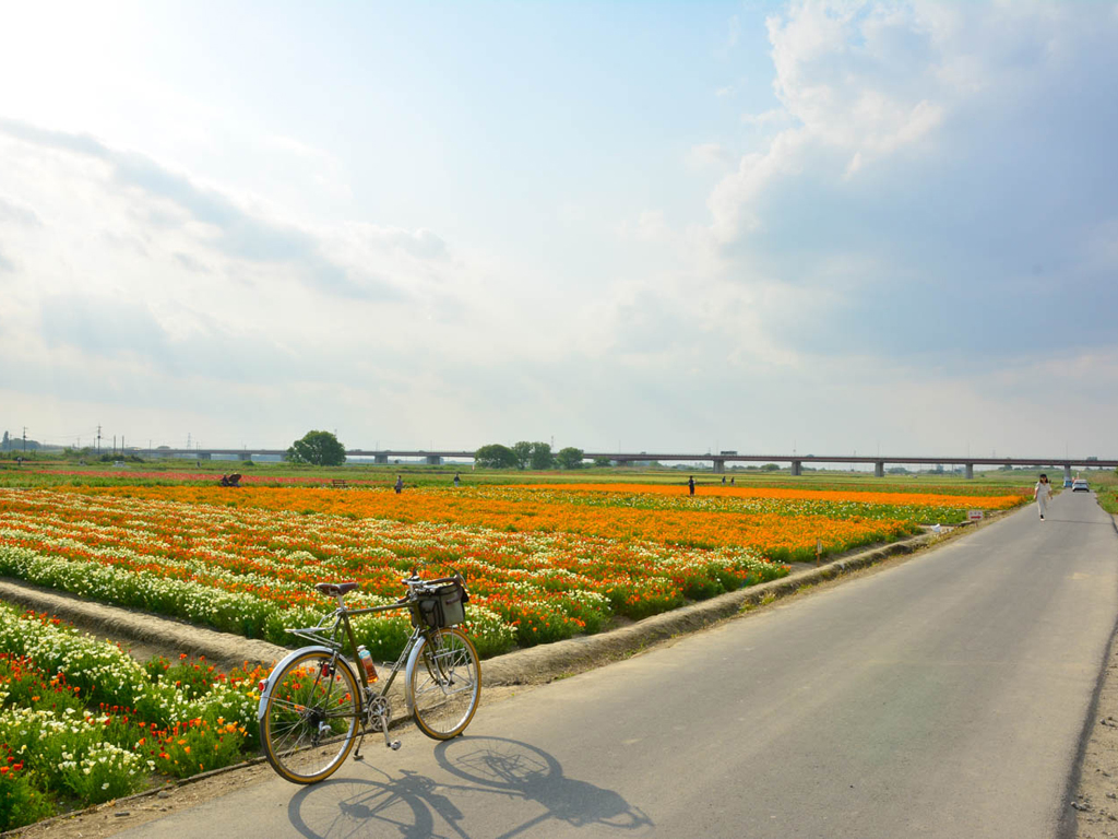
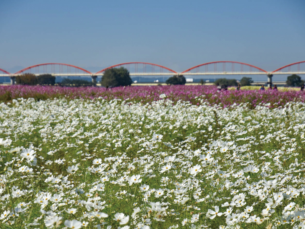
10月中旬から下旬にかけて施設の目の前にある荒川河川敷に様々な品種のコスモスが咲きほこる。コスモスが咲く先には赤いアーチが目を引く日本一長い水管橋があり、素晴らしい景観が広がる。また、5月には日本一のポピー畑の吹上会場としてポピー、麦ナデシコも植えられ春と秋には毎年訪れたい人気スポットだ

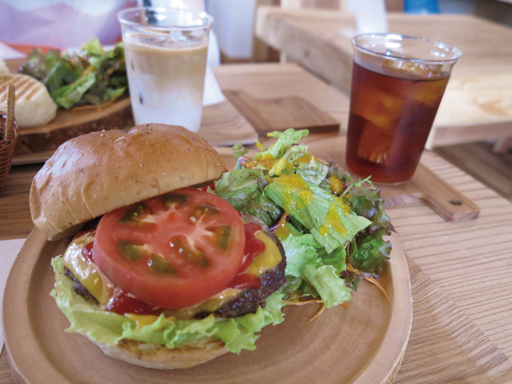
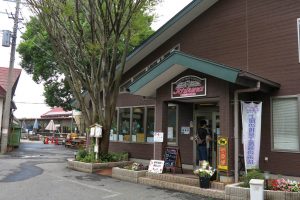
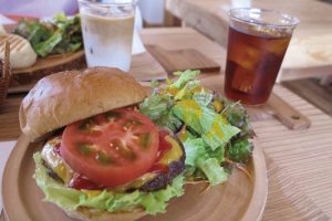
秋ヶ瀬公園近くの人気カフェ。木のテーブルやカウンターが落ち着く雰囲気。自転車ラックも多くサイクリスト歓迎の店。こだわりの自家焙煎珈琲をメインにフードメニューも多く何度でも通いたくなる!
ハンバーガーは平日限定メニュー850円
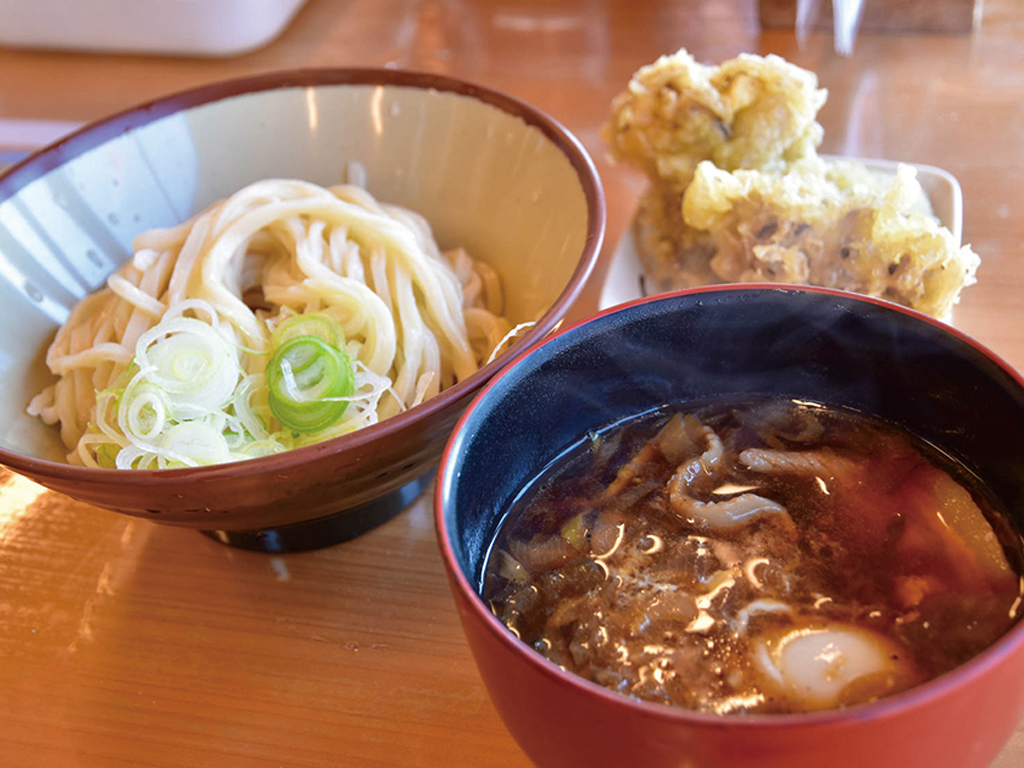
コシのある麺が人気のうどん専門店。荒川サイクリングロードから約1kmの位置にあり、スポーツ自転車用の駐輪スペースもあり、多くのサイクリストが訪れる。人気のつけ汁うどんは小でも400gあり、ボリューム満点!小・並・中・大・特盛りと麺の量を選べるのが嬉しい!
肉汁うどん 小700円
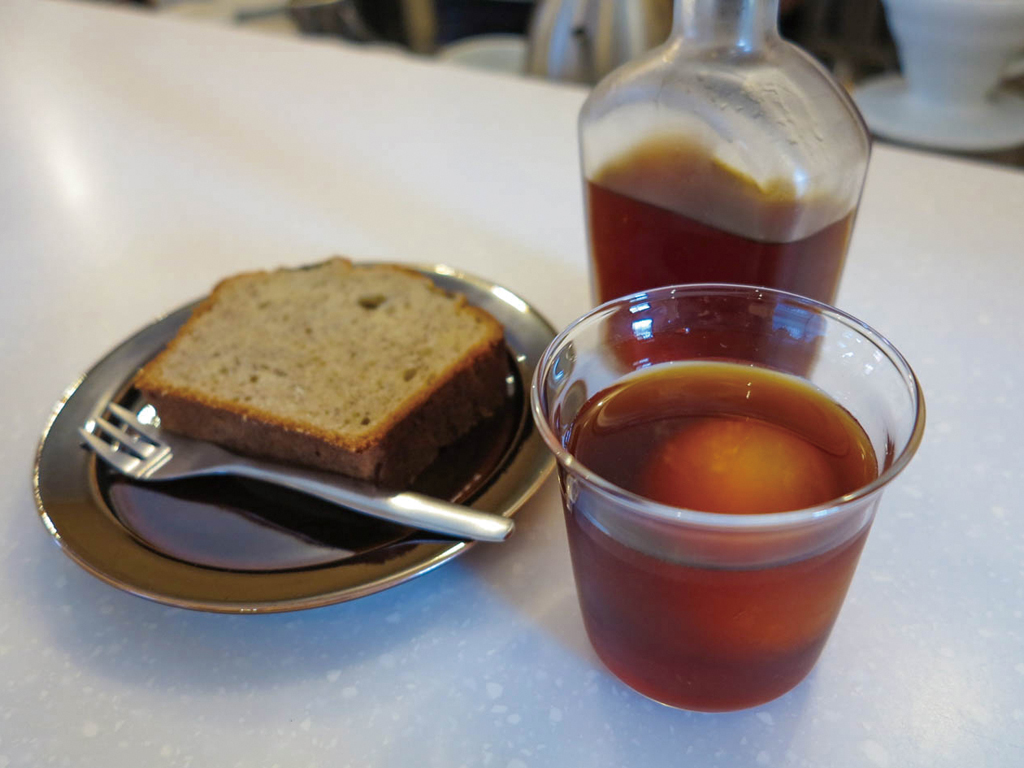
岩淵水門から住宅街に入ると黒くモダンな古民家カフェが現れる。オーストラリアから輸入した豆を使用しており、自家製焼き菓子やホットサンドも人気。朝7時開店!
バナナケーキ390円と水出しコーヒー

日本一広いとされるポピー畑は吹上会場と合わせてなんと12.5ha!毎年5月には「ポピーまつり」が行われ、見渡す限りのポピー畑が広がり多くの人で賑わう
