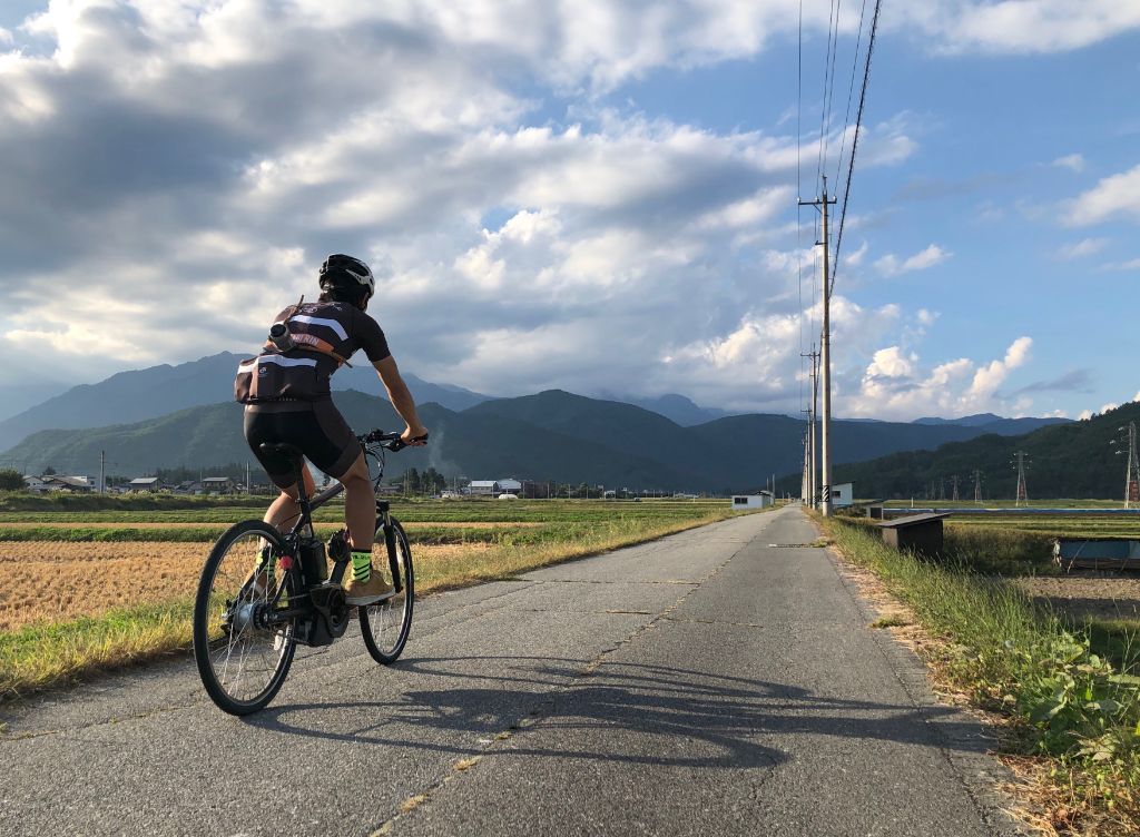
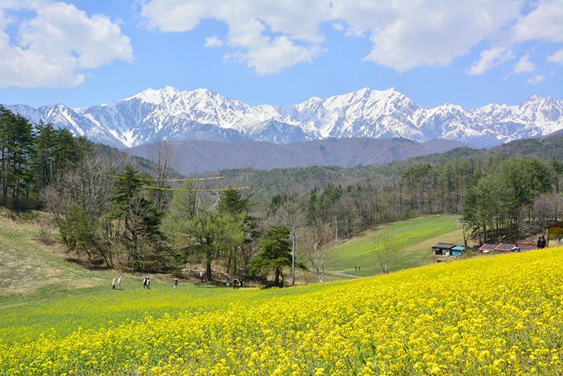
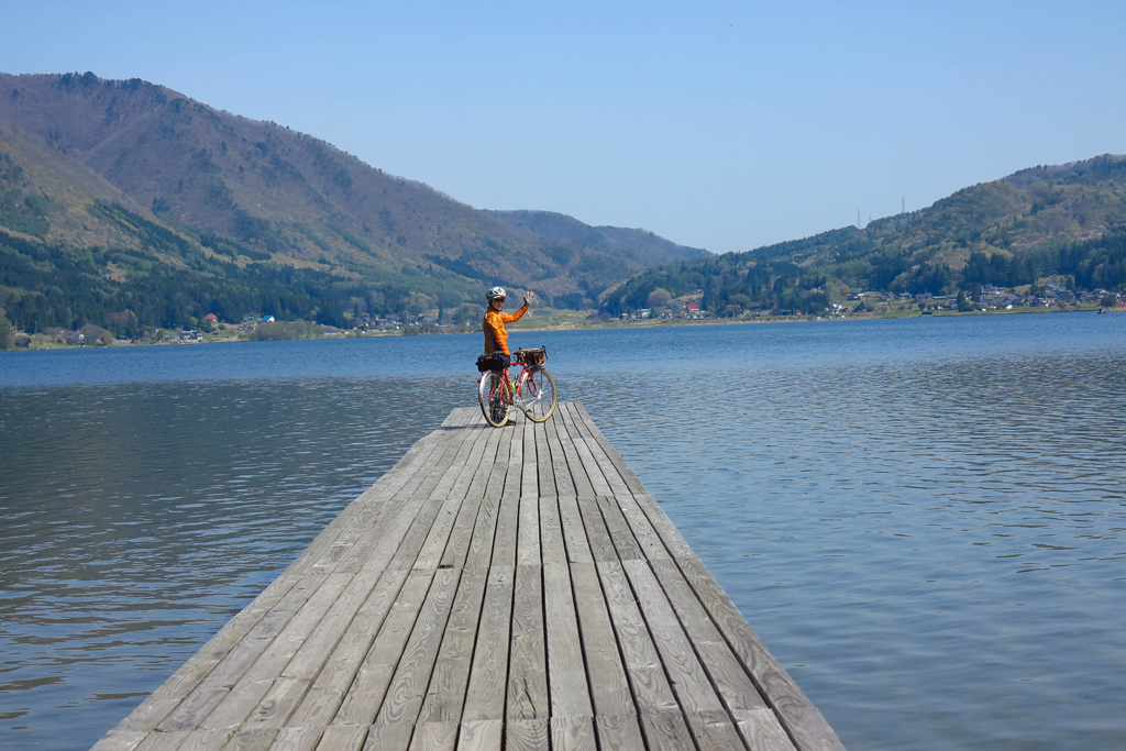
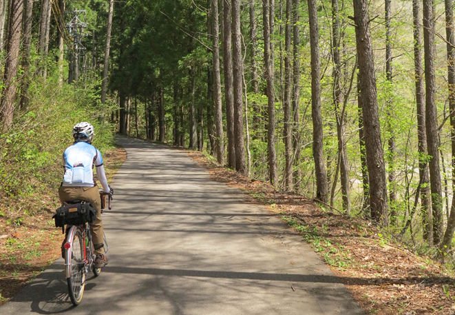
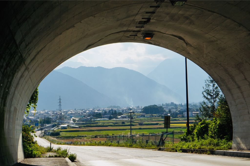
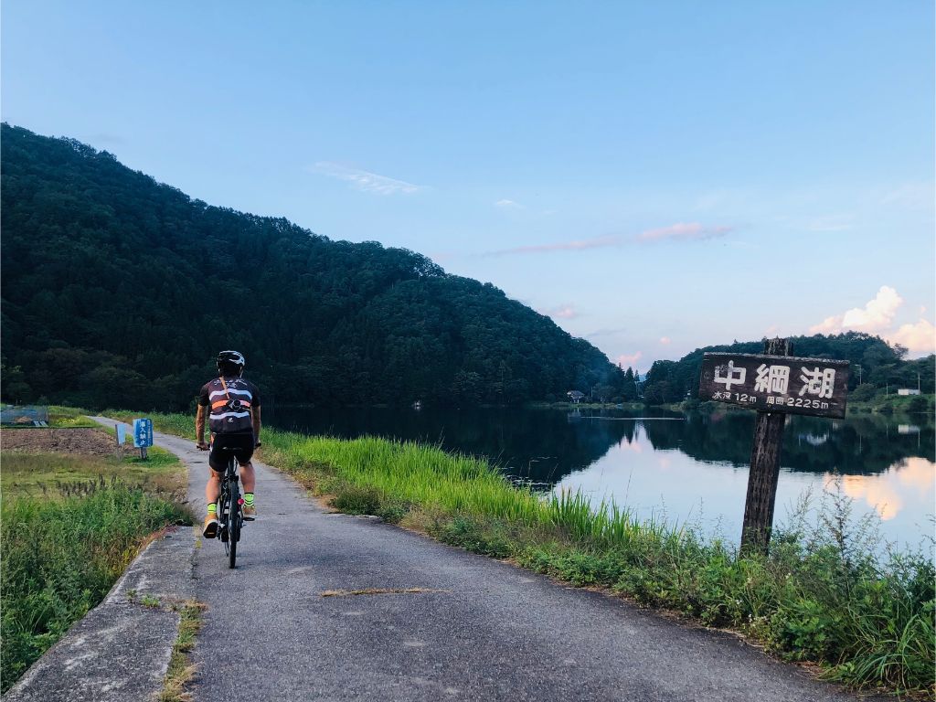
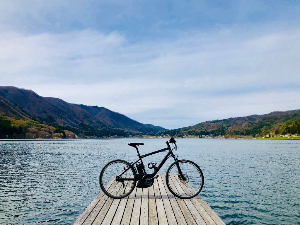
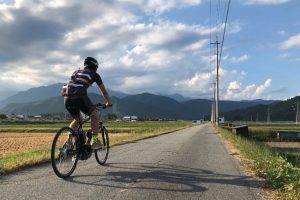
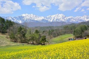
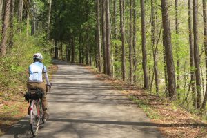
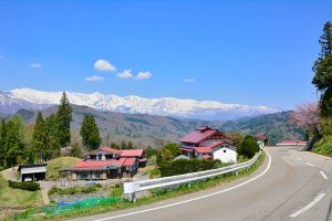
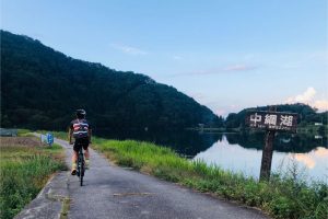
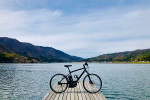
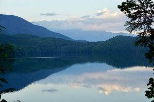
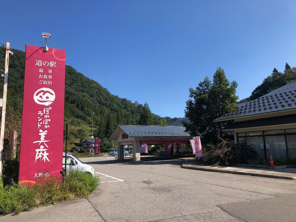
Start at Sun Sun Park Hakuba, where you can see the Northern Alps. If you follow prefectural road 33 and enter prefectural road 497 from the side of the roadside station Poka Poka Land Mima, a tough climb begins. Along the way, you can enjoy the scenery spreading over the satoyama at the Horikiri Observation Deck. You can enjoy seasonal flowers at Nakayama Kogen, and there is also a cafe, so it's perfect for a break. If you go down Prefectural Route 31 and pass through the tunnel, the Northern Alps will spread out in front of you. I went back from the southern coast of Kizaki while enjoying the scenery on the west side of Lake Nakatsuna and Lake Aoki.