


![]()
![]()
![]()
![]()
![]()
![]()
![]()
![]()
八代市街地を中心に、隣接する氷川町、日奈久温泉までを繋ぐルート。見どころも豊富なので、ルート上の好きな場所から気になったスポットまで走ることもオッケーだ。JR 八代駅から軽く市内を走ってみたいなら、駅前からすぐに始まる「八代緑の回廊線」が全長約7km の周回ルートとなっている。前川沿いは河童伝説のスポットや、たくさんのくまモンに会える「くまモンポート八代」へと繋がる気持ちの良い道だ。南へ田園風景の中を進めば、レトロな街並みの600 年の歴史ある日奈久の温泉街が待っている。また竜北公園を起点にすれば、火の国発祥の地・宮原地区や、立神峡、石橋が数多く残る石工の郷へと足を伸ばすことができる。
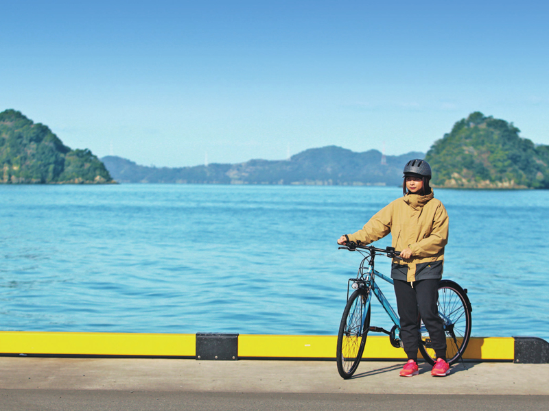
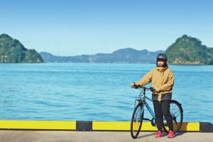
This route is centered around the Yatsushiro city area and connects to the neighboring town of Hikawa and Hinagu Onsen. There are plenty of places to see, so it's OK to run from any place on the route to a spot you're interested in. If you want to drive around the city lightly from JR Yatsushiro Station, the “Yatsushiro Green Corridor Line,” which starts right in front of the station, is a circular route with a total length of about 7 km. Along the Maekawa River, it's a pleasant road leading to legendary kappa spots and “Kumamon Port Yashiro,” where you can meet lots of Kumamons. If you go south through the rural landscape, you'll find the 600-year-old historic hot spring town of Hinagu with a retro cityscape. Also, if you start from Ryuhoku Park, you can go to the Miyahara district, the birthplace of Hinokuni, and a masonry village where many Tatsukamikyo Gorge and stone bridges remain.
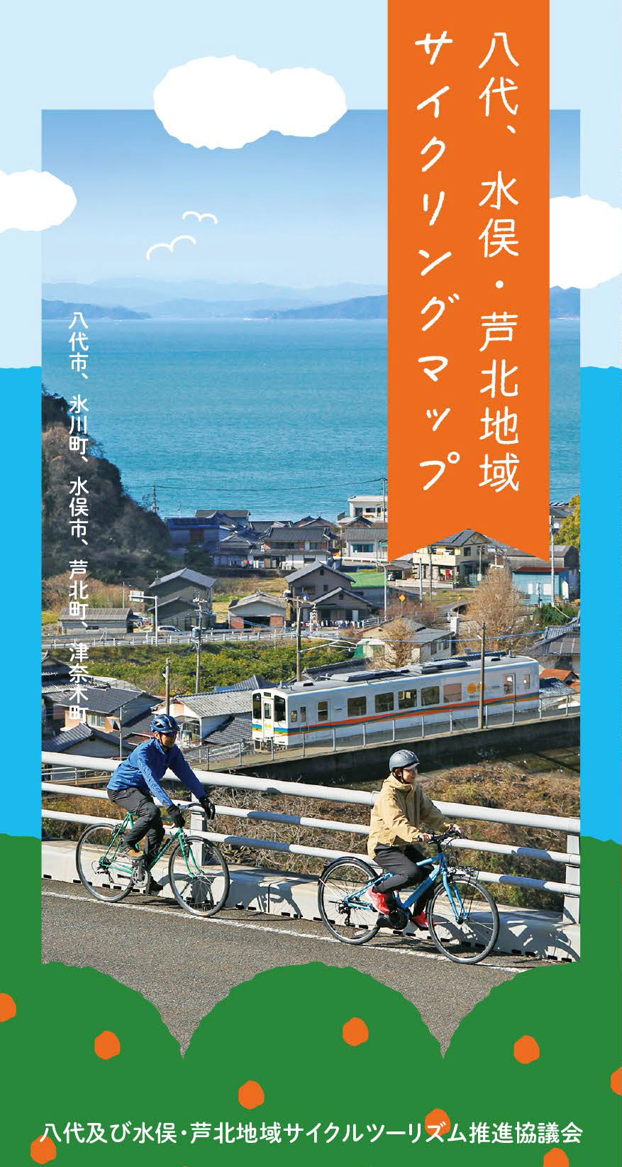
九州の真ん中、熊本県南部の八代海に面した【八代、水俣・芦北地域】は、西側には海を挟んで天草の島々が広がり、東側には九州山地が連なる。その山地を縫って日本三大急流・球磨川が流れており、海、山、そして川と三拍子揃ったエリアだ。
歴史と個性豊かな数々の温泉や、海の幸や川の恵、また山には特産の柑橘類が実り、和牛も美味しい。風光明媚な海岸線には白いビーチや岬からの絶景。そんな風景を眺めながら利用できるサイクルトレインだって君が来るのを待っている。
さあ、サイクリングでこのエリアを全部まとめて楽しんでしまおう!
マップ詳細へ※オンラインの地図上でサイクリングルートが閲覧できるウェブサイト「ルートラボ」が2020年3月末でサービス終了したため、「bikemap」に変更したことで、bikemap内の距離や高低差に誤差が生じている場合がありますが、ご理解ご了承の程、よろしくお願いします。
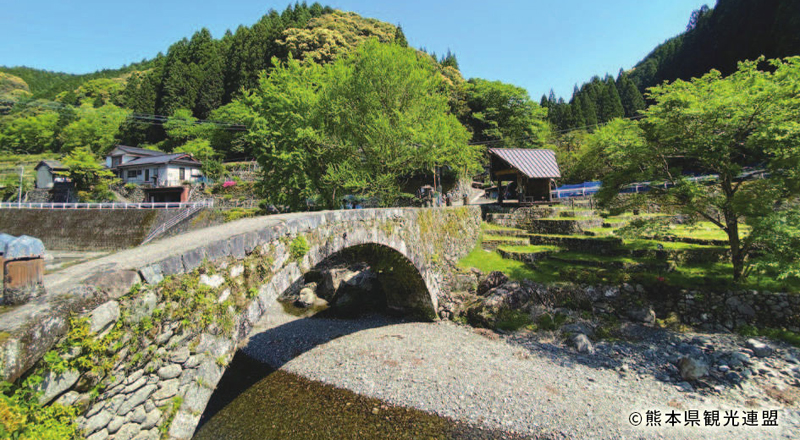
東陽町は江戸時代から昭和初期に全国で活躍した石工集団「種山石工」を育んだ地だ。彼らはその高い技術力で東京の神田筋違目鑑橋(万世橋)をはじめ多くのめがね橋を作り上げた。東陽町には今も21 のめがね橋が残り日本遺産にも認定された。中でも笠松橋は大きさも石積みの美しさも石工の郷を代表するものとなっている。
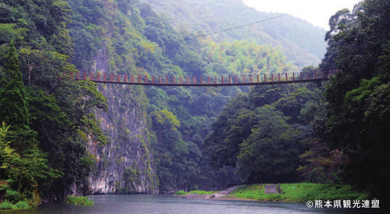
肥後の空滝と呼ばれる大岩壁がそびえる県立自然公園「立神峡」。その豊かな自然の中で環境学習や里山体験ができる公園施設。園内には昭和30 年頃の古民家をイメージした里地屋敷やロッジなどの宿泊施設が整備され、キャンプやバーベキューも楽しめる。公園内の2 本の吊り橋はスリル満点だ。
丘の上に作られた広大なエリアに九州屈指の126mローラースライダー「レッドドラゴン」や、クリフクライマー「グリーンドラゴン」、野外ステージ、お祭り広場などがある公園。園内には桜やアジサイが多く植えられており人気のお花見スポットだ。展望広場からの景色は絶景。
