コース・マップ検索
大田区サイクリング
距離 Distance:
25km
獲得標高 上り Elevation Gain (Up):
68m
獲得標高 下り Elevation Gain (Down):
ー
最大標高差 Maximum elevation difference:
ー
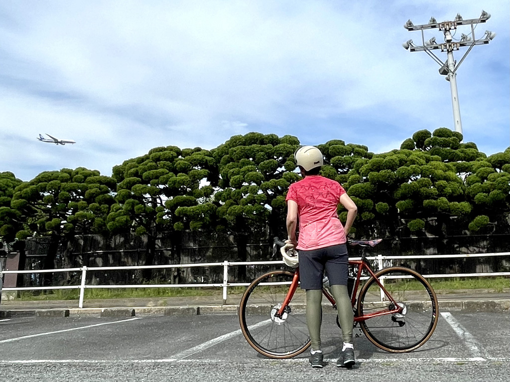
「東京23区の魅力発見」をテーマに自転車でいろいろ散策するシリーズ第5弾は、東京都の南に位置し羽田空港がある「大田区」。
The 5th installment in the series, where people explore various things by bicycle under the theme of “discovering the charms of the 23 wards of Tokyo,” is “Ota Ward,” which is located in the south of Tokyo and has Haneda Airport.
コース掲載記事 【東京都】多摩川サイクリングロードや昭和レトロを巡る25kmサイクリング/ディスカバー東京:大田区編
「東京23区の魅力発見」をテーマに自転車でいろいろ散策するシリーズ第5弾は、東京都の南に位置し羽田空港がある「大田区」。 多摩川サイクリングロードがあり名所旧跡や昭和レトロ感も残る多様な大田区の魅力を、サイクリングを通じ […]
記事詳細へ
オススメスポット ビュースポット いきもの・植物 グルメ ショッピング 道の駅 温泉 宿泊 病院 レンタサイクル 自転車販売店 サイクリングサポート トイレ その他
※オンラインの地図上でサイクリングルートが閲覧できるウェブサイト「ルートラボ」が2020年3月末でサービス終了したため、「bikemap」に変更したことで、bikemap内の距離や高低差に誤差が生じている場合がありますが、ご理解ご了承の程、よろしくお願いします。
コース周辺スポット
全て
オススメスポット
グルメ
トイレ
その他
で絞り込む
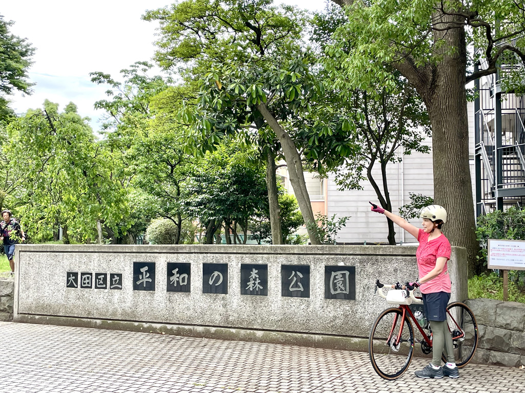
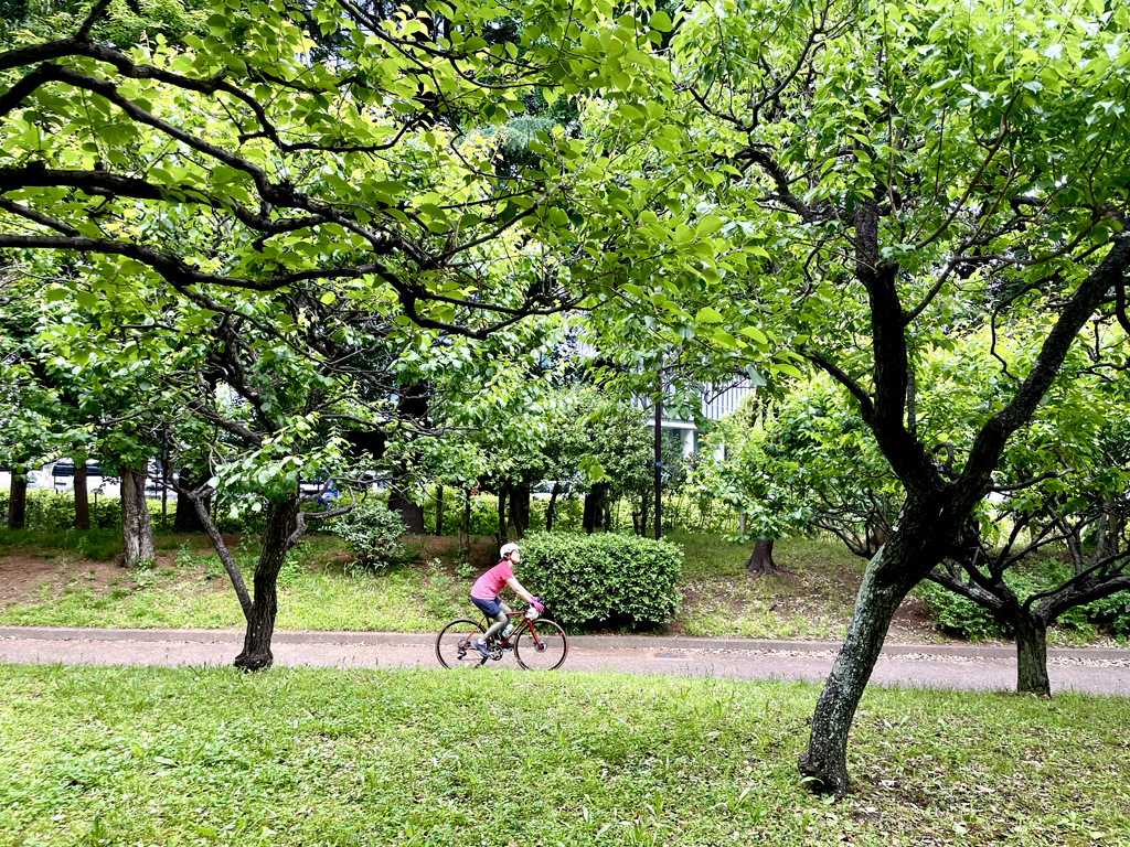
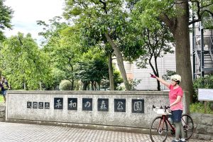
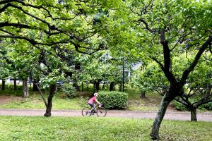
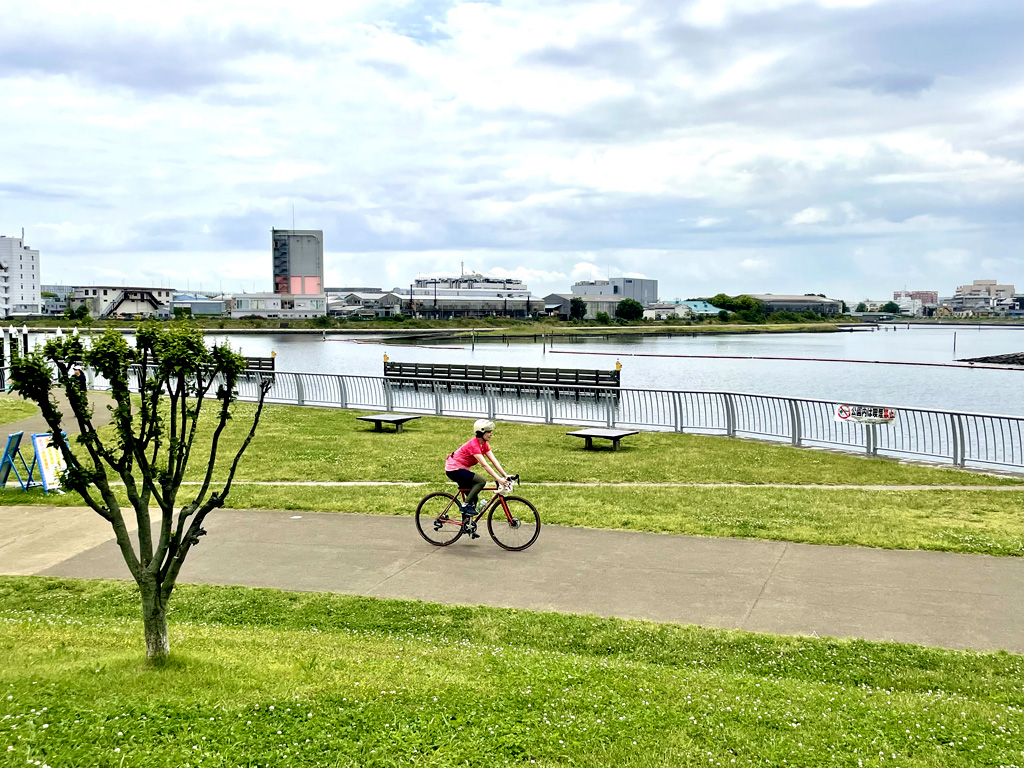
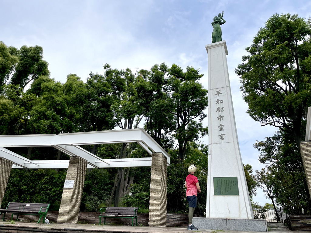
平和の森公園
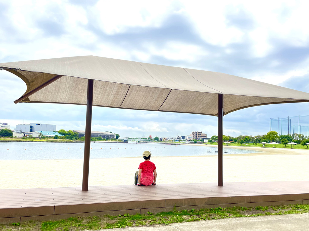
大森ふるさとの浜辺公園
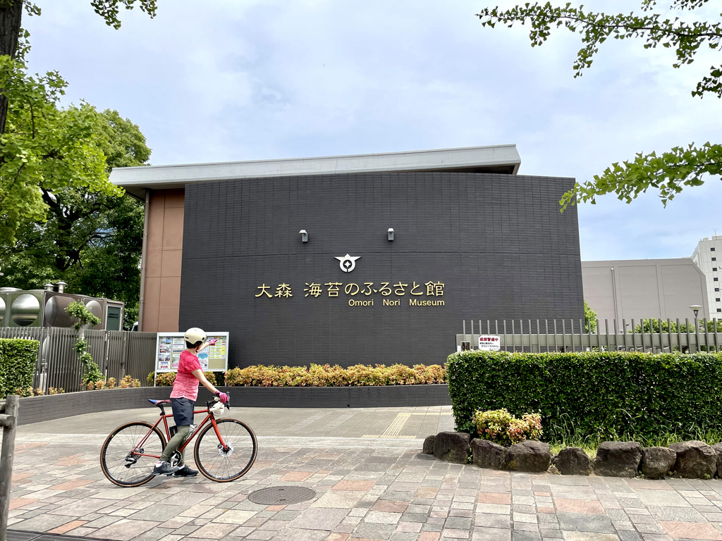
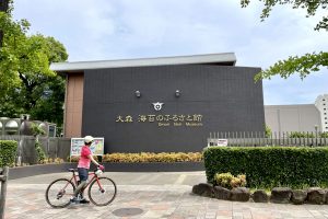
大森 海苔のふるさと館
住所:東京都大田区平和の森公園2-2
TEL:03-5471-0333
営業時間:
午前9時から午後5時まで (ただし、6月から8月は午前9時から午後7時まで)
定休日:
第三月曜日(第三月曜日が祝日の場合は翌日休館) 年末年始(12月29日から1月3日まで) ※館内消毒のための臨時休館あり
料金:無料
白砂の浜辺
住所:東京都大田区ふるさとの浜辺公園1 浜辺エリア
営業時間:
午前5時30分から午後9時(12月29日から31日までは閉園)
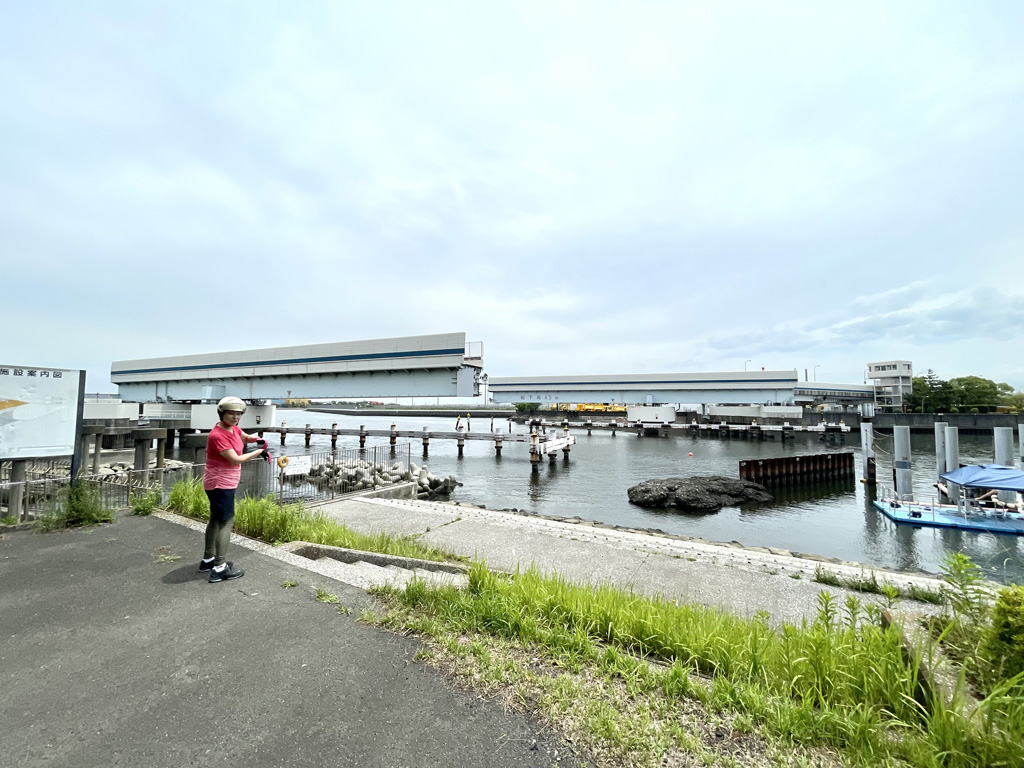
羽田可動橋
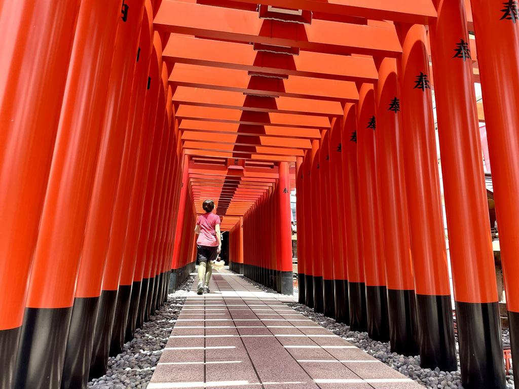
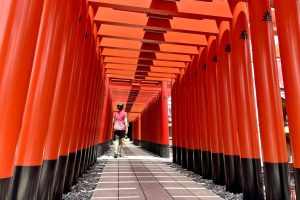
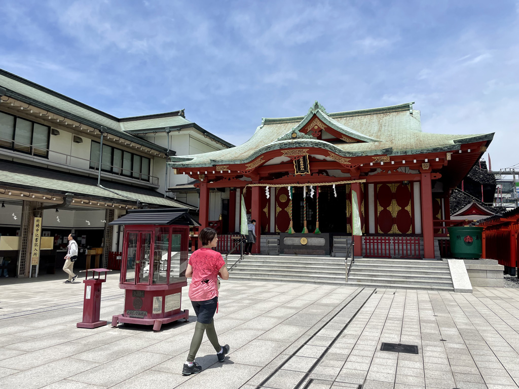
東京羽田 穴守稲荷神社
住所: 東京都大田区羽田5丁目2−7
TEL:03-3741-0809
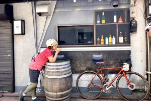
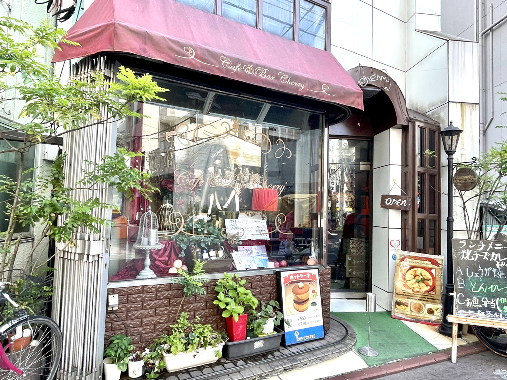
喫茶チェリー
住所:東京都大田区蒲田5丁目19-8
TEL:03-3735-3521
営業時間:
9:00~22:00(L.O.21:00)
定休日:
日曜 ※変更となる場合有り要確認
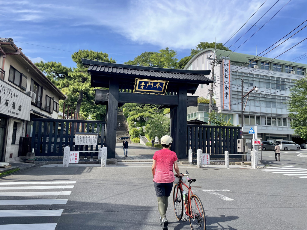
池上本門寺
住所:東京都大田区池上1-1-1
TEL: 03-3752-2331
平和島公園
住所:東京都大田区平和島4丁目2
TEL:03-3765-0403