![]()
![]()
![]()
![]()
![]()
![]()
![]()
![]()


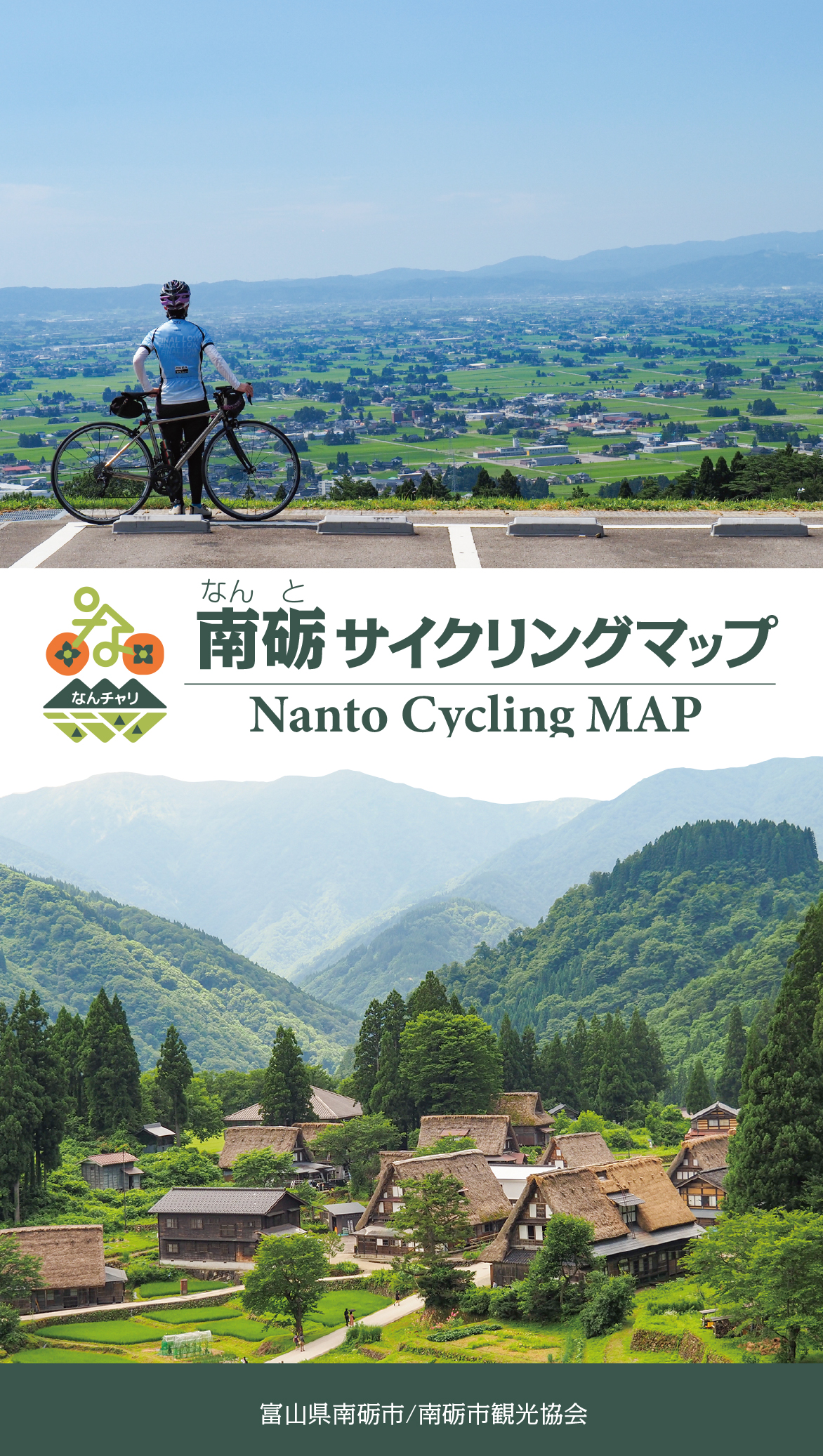
世界遺産五箇山の合掌造りで歴史に触れ、庄川沿いで大自然を感じる。
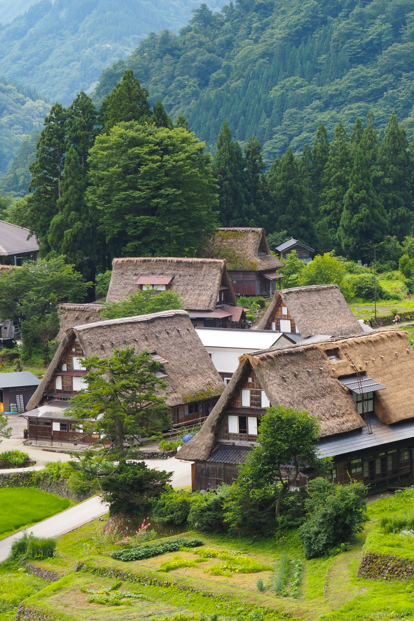
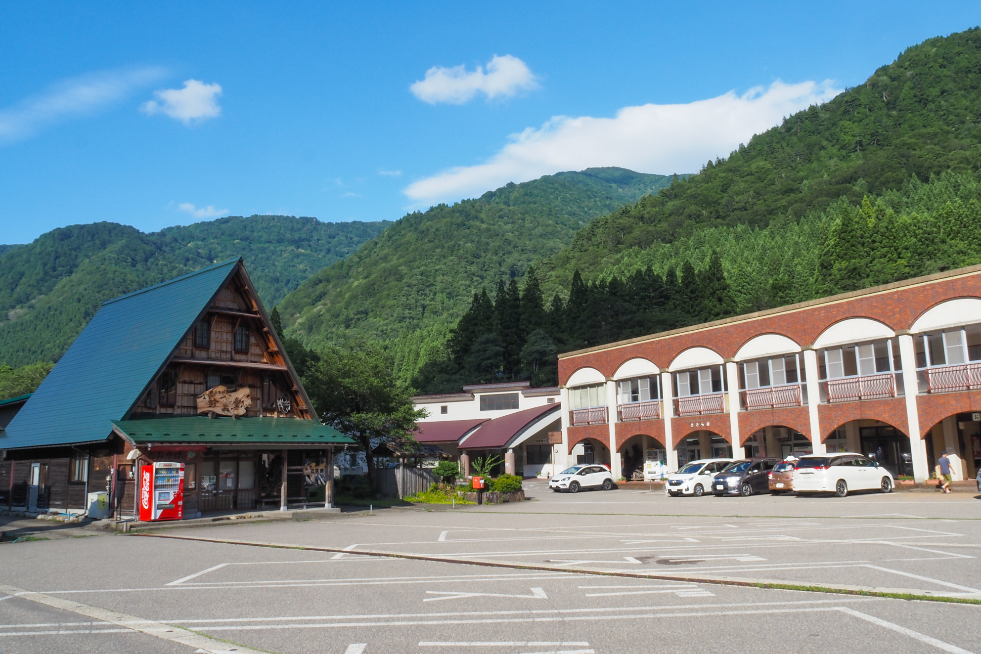
道の駅 上平ささら館をスタート&ゴールとして、世界遺産五箇山の風景を楽しむルート。庄川峡の谷間を走るため、ややアップダウンがあり中級者以上の人推奨。初級者の人は五箇山総合案内所でE-bikeのレンタルがあるので利用してみよう。五箇山は40の小さな集落の総称で「世界文化遺産」に登録されているのは「相倉」と「菅沼」の2集落となる。
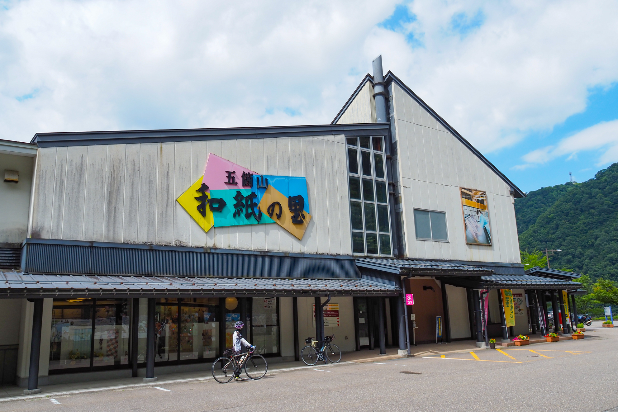
庄川沿いに北上し、「菅沼合掌造り集落」に立ち寄り、トンネルを回避しつつ「道の駅 たいら五箇山和紙の里」でUターンして「相倉合掌造り集落」を散策し、国道メインで南下して道の駅まで戻る
Experience history at Gokayama's World Heritage Site Gassho-zukuri, and feel nature along the Shogawa River.
A route where you can enjoy the scenery of Gokayama, a World Heritage Site, starting and ending at Roadside Station Uehira Sasarakan. Since it runs through the valley of Shogawa Gorge, there are slight ups and downs, and it is recommended for intermediate level and above. Beginners can rent e-bikes at the Gokayama General Information Center, so try using them. Gokayama is a general term for 40 small settlements, and the 2 settlements “Ainokura” and “Suganuma” are registered as “World Cultural Heritage Sites.”
Go north along the Shogawa River, stop at “Suganuma Gassho-zukuri Village,” make a U-turn at “Roadside Station Taira Gokayama Washi Village” and walk around the “Ainokura Gassho-zukuri Village” while avoiding the tunnel, then head south on the national highway main road and return to the roadside station
※オンラインの地図上でサイクリングルートが閲覧できるウェブサイト「ルートラボ」が2020年3月末でサービス終了したため、「bikemap」に変更したことで、bikemap内の距離や高低差に誤差が生じている場合がありますが、ご理解ご了承の程、よろしくお願いします。
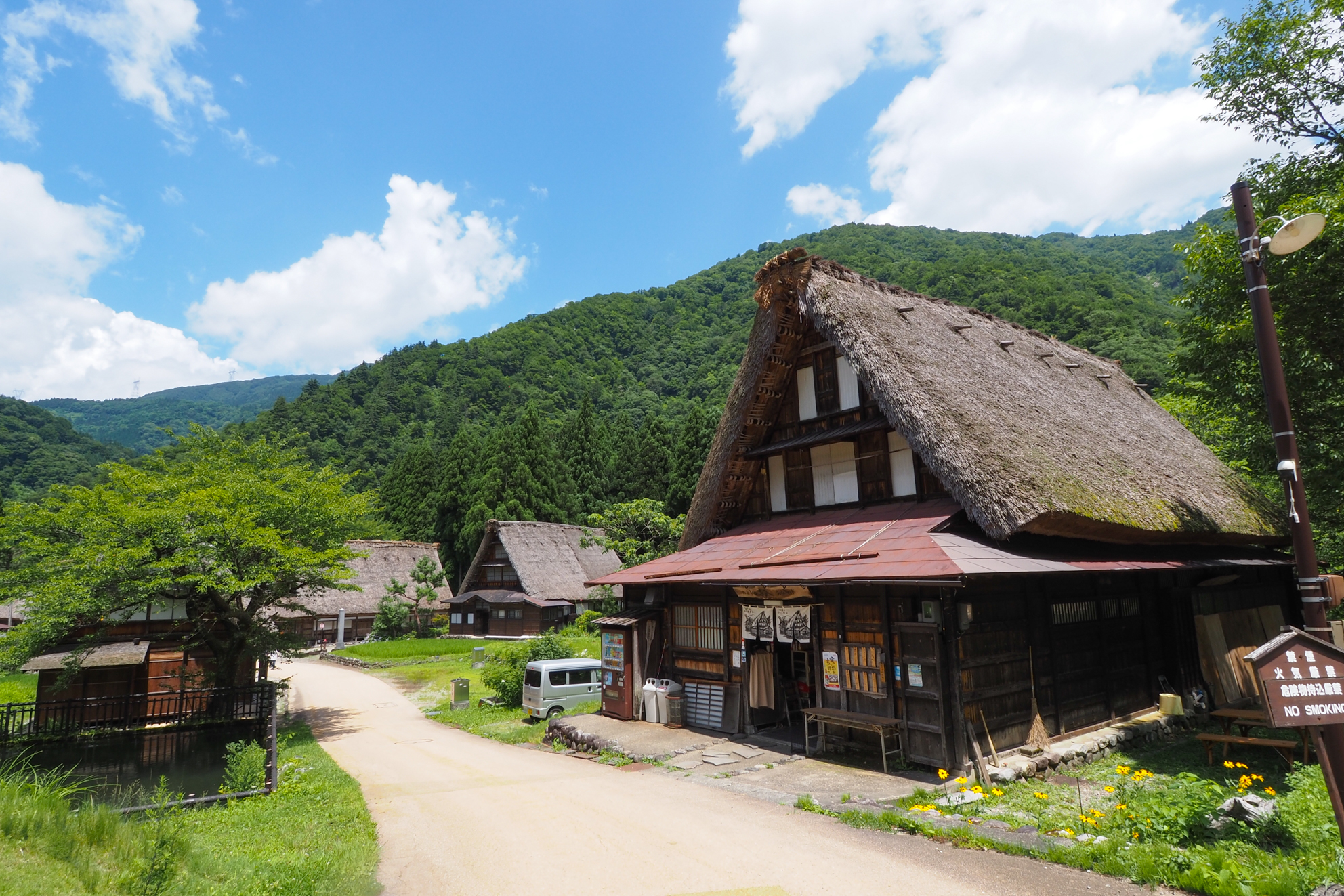
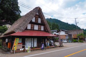
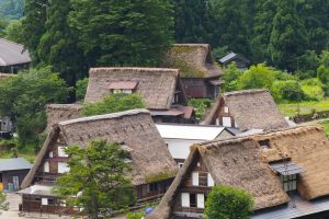
江戸末期から明治初期までに建てられた合掌造りがそろう菅沼集落には9棟の合掌造りが現存し、閑静な雰囲気を楽しめる。塩硝の館・五箇山民俗館など伝統文化を伝える施設もあるので立ち寄ってみよう

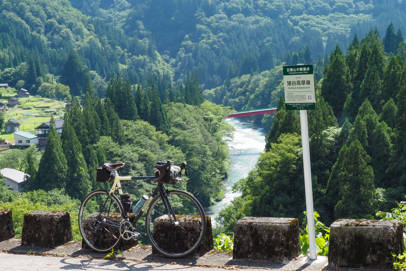
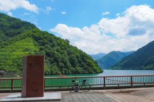
五箇山を流れる庄川が見れる絶景スポットです。

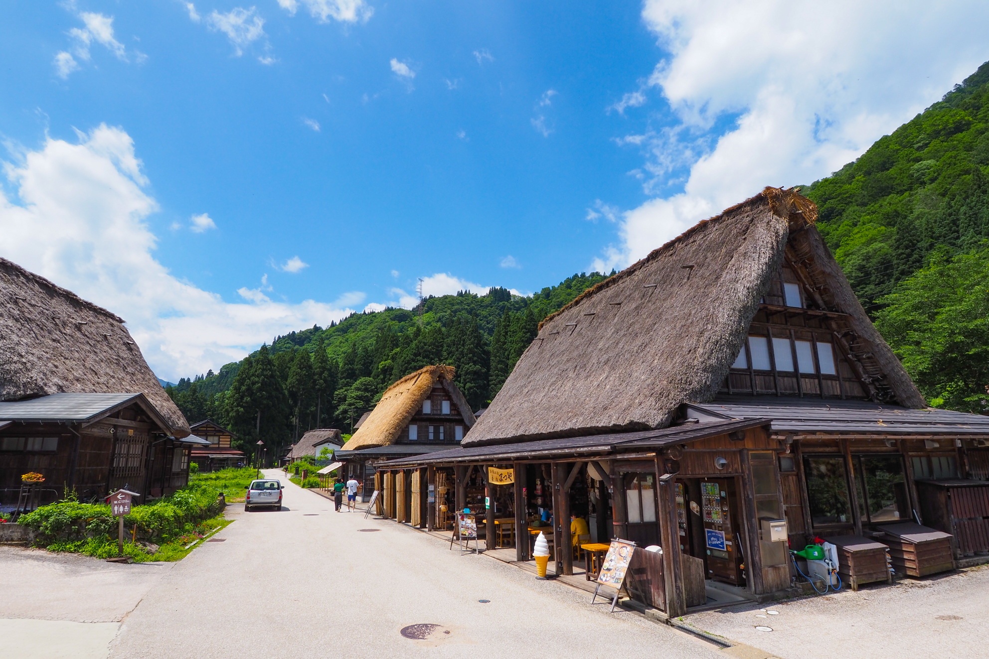
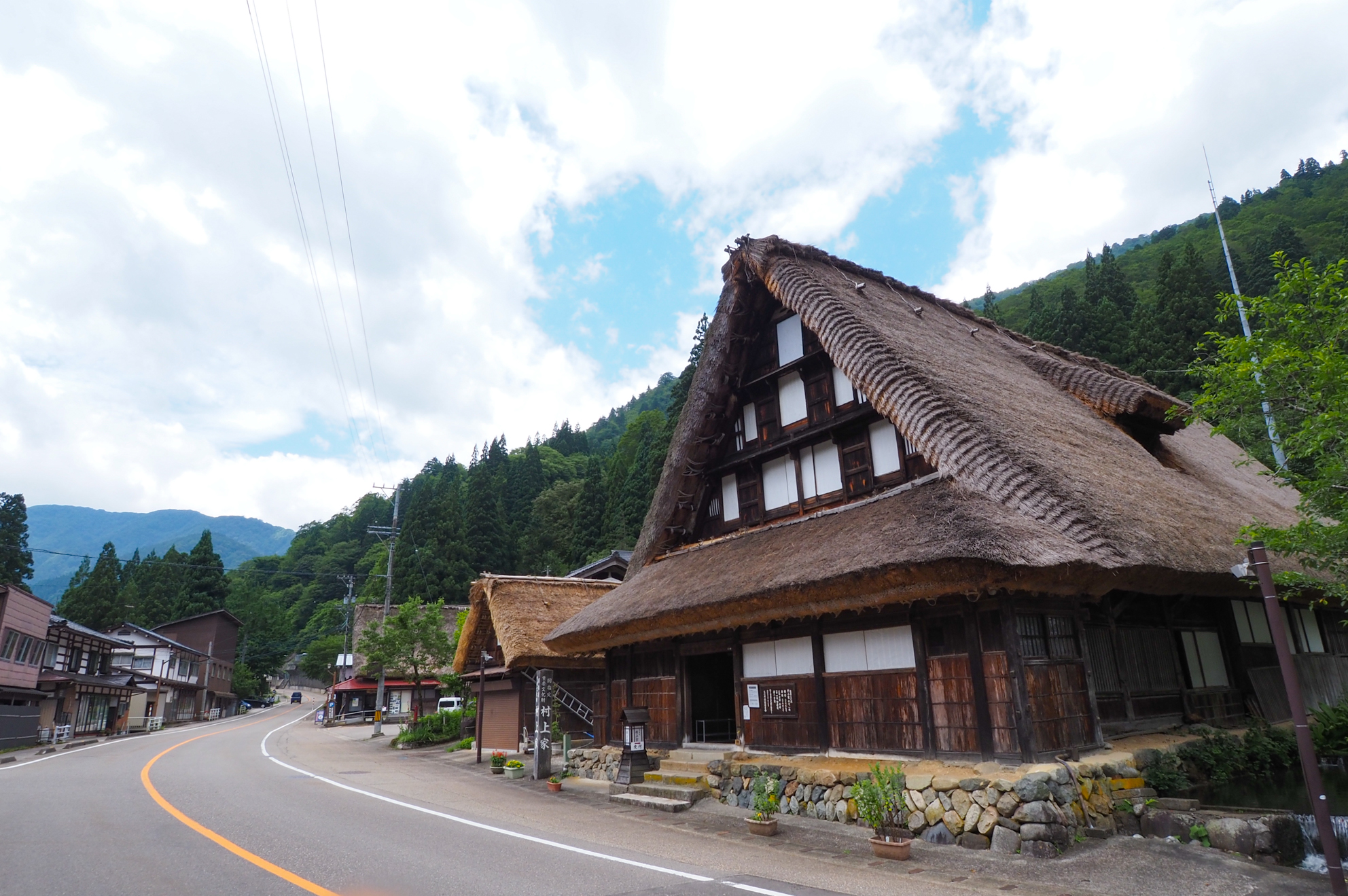
人の暮らしが見える世界遺産「相倉集落」には資料館やお土産屋・飲食店、民宿などが並ぶ
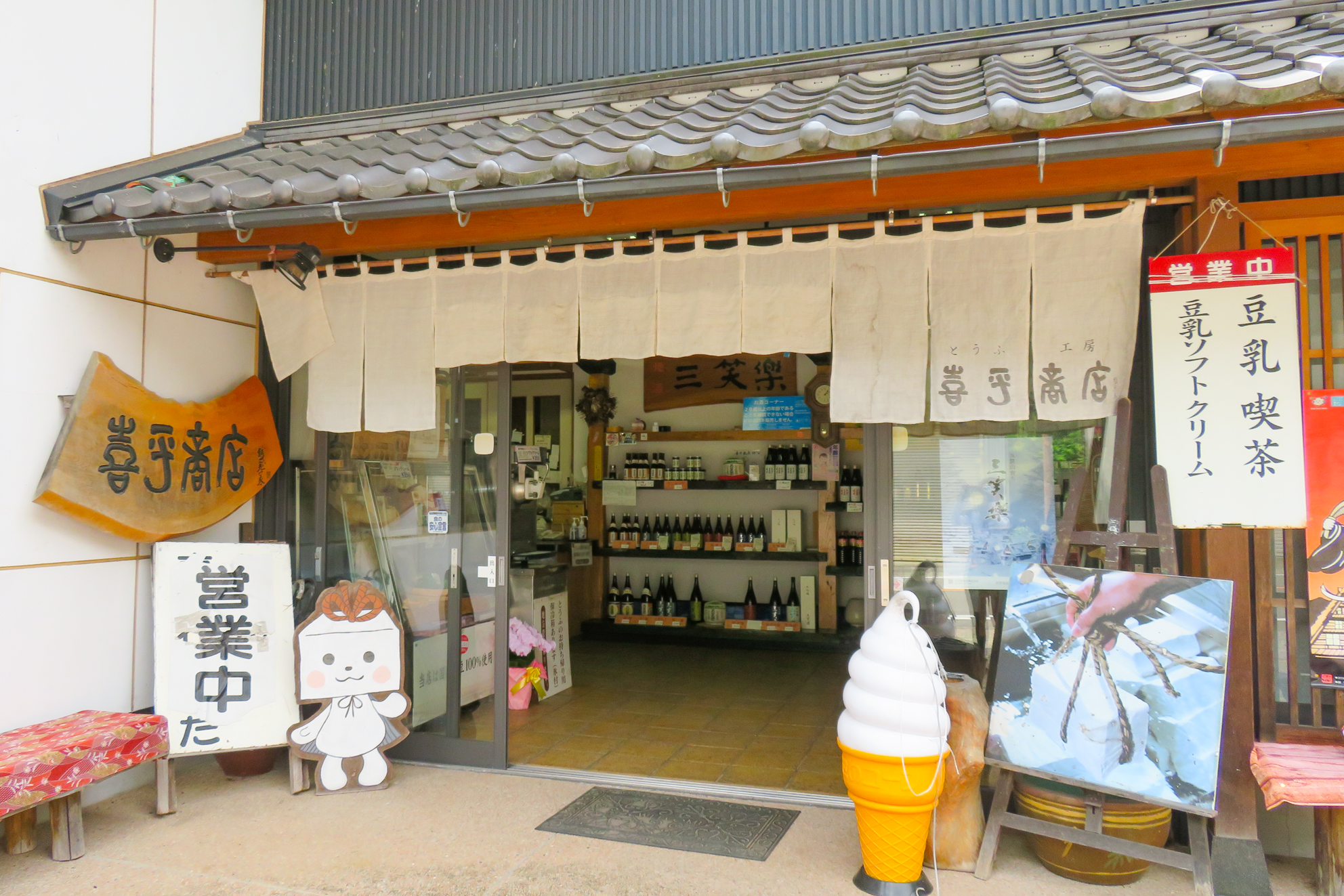
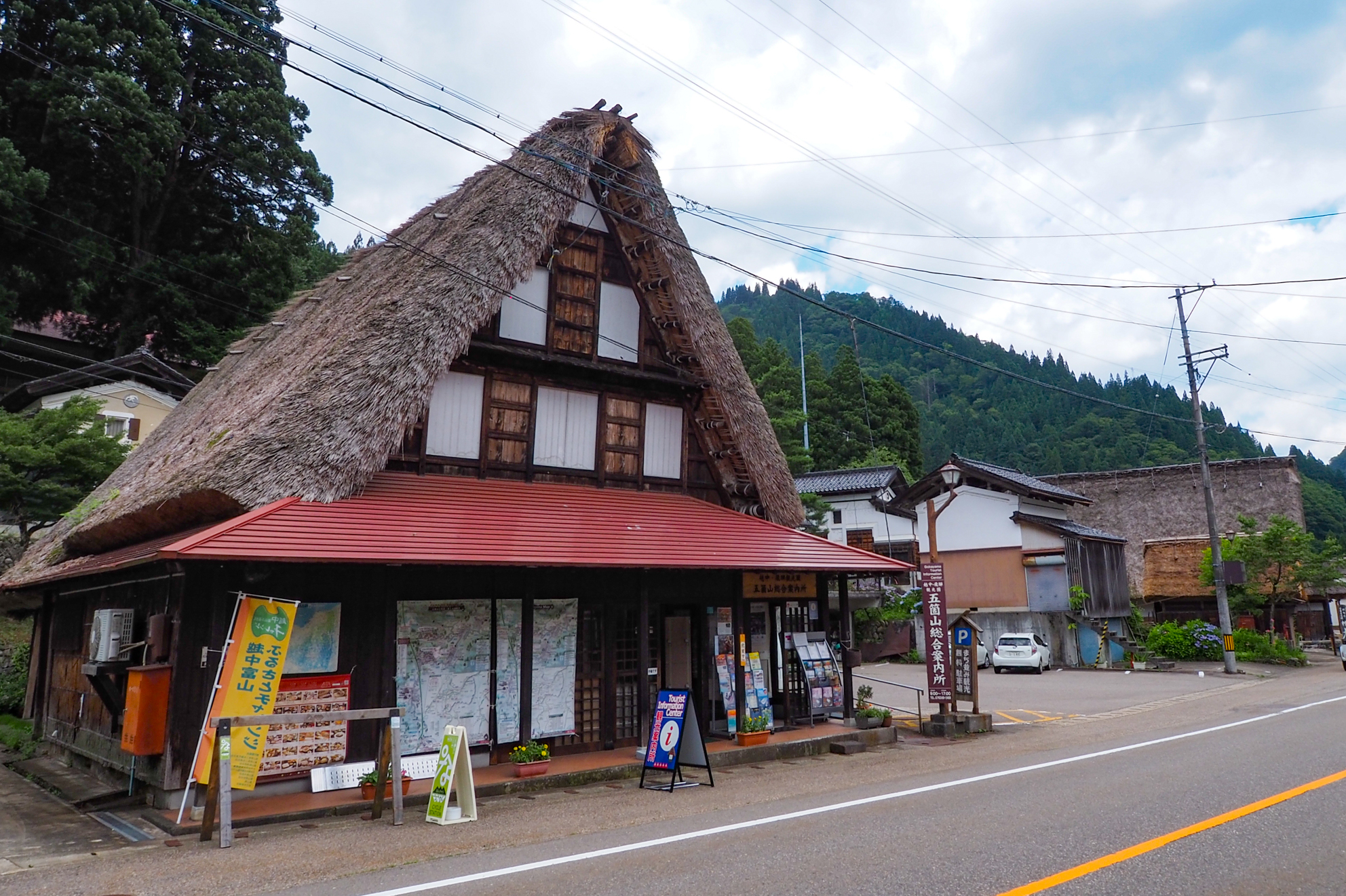
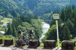
上梨集落にある五箇山総合案内所。「なんチャリステーション」でE-bikeのレンタルができる
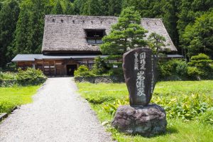
1700年代中頃に建てられた日本最大の5階建て合掌造りの岩瀬家

富山県と岐阜県の県境にある桂湖(境川ダム)に行くオプションルート。桂湖手前にある「打越トンネル」は道幅が狭く路面がウエットで暗いため、車で桂湖まで行き湖畔サイクリングを楽しむのもよいだろう。自転車で行く場合は前後ライトや反射ベストなどを着用して行こう。桂湖ビジターセンターではダムカードを貰える