


![]()
![]()
![]()
![]()
![]()
![]()
![]()
![]()


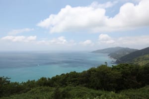


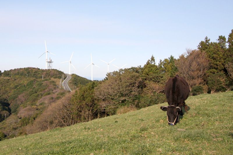
タート地点の瀬戸アグリトピアから権現山展望台までを折り返すコース。途中の瀬戸風の丘パークは佐田岬半島のほぼ中央に位置し、頂上のウッドデッキからは風車と海、半島を一望できる360度のパノラマ風景が楽しめる。左右に宇和海と瀬戸内海を交互に眺めながら半島の尾根を走るコースは爽快で気持ちがいい。
This course takes you back from Seto Agritopia at the tart point to Gongenyama Observatory. Seto Kaze no Oka Park on the way is located almost in the center of Sadamisaki Peninsula, and you can enjoy a 360-degree panoramic view of the windmills, the ocean, and the peninsula from the wooden deck at the top. The course where you run along the ridges of the peninsula while alternately looking at the Uwa Sea and the Seto Inland Sea from side to side is exhilarating and pleasant.
しまなみ海道を中心に全県域を誰もが自転車に親しみ、誰もが自転車を楽しめる「愛媛マルゴト自転車道」を展開することで、“愛媛がサイクリングパラダイス”となることを目指している。
マップ詳細へ※オンラインの地図上でサイクリングルートが閲覧できるウェブサイト「ルートラボ」が2020年3月末でサービス終了したため、「bikemap」に変更したことで、bikemap内の距離や高低差に誤差が生じている場合がありますが、ご理解ご了承の程、よろしくお願いします。

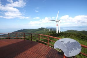
公園内には実物大の羽が横たえて展示されており、展望スペースからは、東西に延びる風車群を一望することができる。「海に囲まれた細長い半島の山頂部に連なる巨大な風車群」という景色は、とてもきれい。
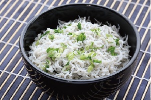
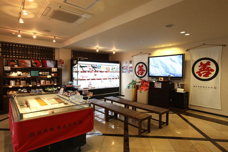
目の前の海で水揚げされた鮮度バツグンの採れたてシラスを使った丼。

地域の人たちが共同で考え出したご当地グルメ。魚のアラで取っただしで旬魚の刺身をしゃぶしゃぶ、店ごとに異なるつけダレで味わいたい。
宇和海を望む大自然の中、農漁村の体験を通して都市と農村の交流を行う施設。交流センターのほかに宿泊できる多様なログハウスが10棟ある。
