


![]()
![]()
![]()
![]()
![]()
![]()
![]()
![]()


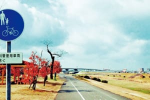
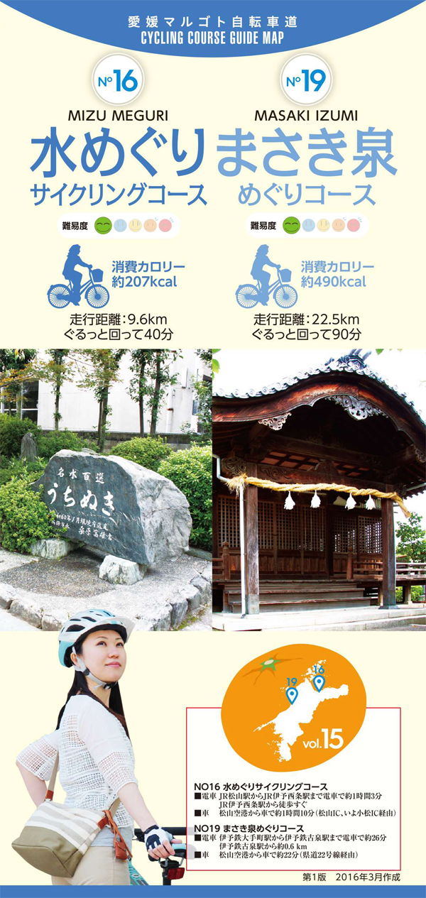
地下水に恵まれている松前町の各地に点在する有明泉や福徳泉、ひょこたん池などの美しい水が湧き出している泉を巡る。愛媛県内で唯一「山のない」町でもあり、コース全体のアップダウンもほとんどなく、車の交通量もさほど多くないため走りやすい。田んぼの中の道や重信川の土手がコースの大部分を占めているため信号機も少ない。
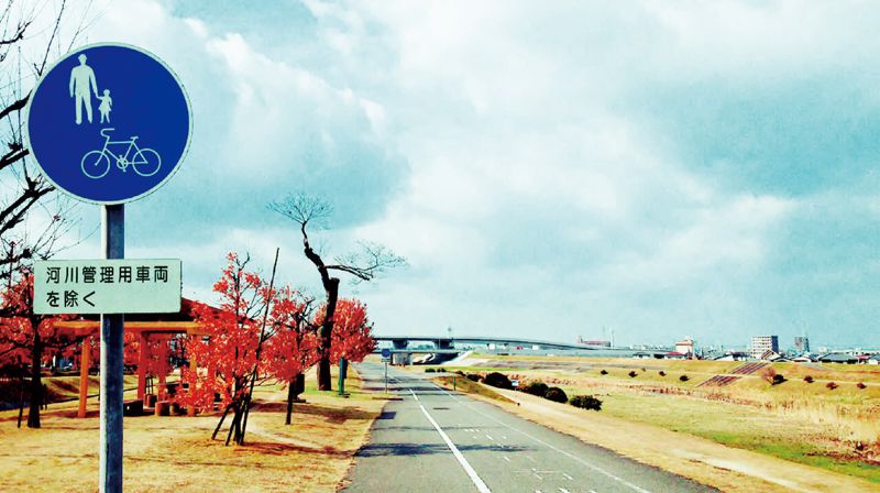
Visit springs with beautiful water gushing out, such as Ariake Spring, Fukutoku Spring, and Hyokotan Pond scattered all over Matsumae Town, which is blessed with groundwater. It is also the only “mountainless” town in Ehime prefecture, and there are almost no ups or downs on the entire course, and there isn't much car traffic, so it's easy to drive. Since the road in the rice paddies and the bank of the Shigenobu River occupy most of the course, there are few traffic lights.
しまなみ海道を中心に全県域を誰もが自転車に親しみ、誰もが自転車を楽しめる「愛媛マルゴト自転車道」を展開することで、“愛媛がサイクリングパラダイス”となることを目指している。
マップ詳細へ※オンラインの地図上でサイクリングルートが閲覧できるウェブサイト「ルートラボ」が2020年3月末でサービス終了したため、「bikemap」に変更したことで、bikemap内の距離や高低差に誤差が生じている場合がありますが、ご理解ご了承の程、よろしくお願いします。
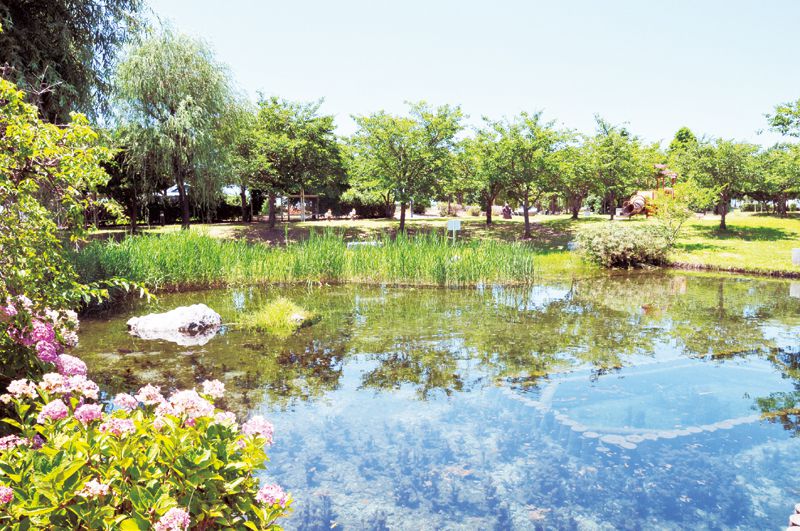
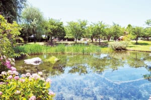
松山平野を東西に流れる一級河川で、流域には伏流水が多く、あちこちで泉と成って湧出している。周辺には湧水を楽しめる公園なども整備されている。
四国最大のショッピングセンター「エミフルMASAKI」の近くにある公園。休日になると多くの家族連れで賑わい、ローラースライダーや複合遊具などではしゃぐ子供の姿が微笑ましい。
自家製粉に徹底して作られた麺からはのどごしや香り、弾力にもこだわりたいといった店主の思いが窺える。多数のメディアにも取り上げられている有名店。
