![]()
![]()
![]()
![]()
![]()
![]()
![]()
![]()

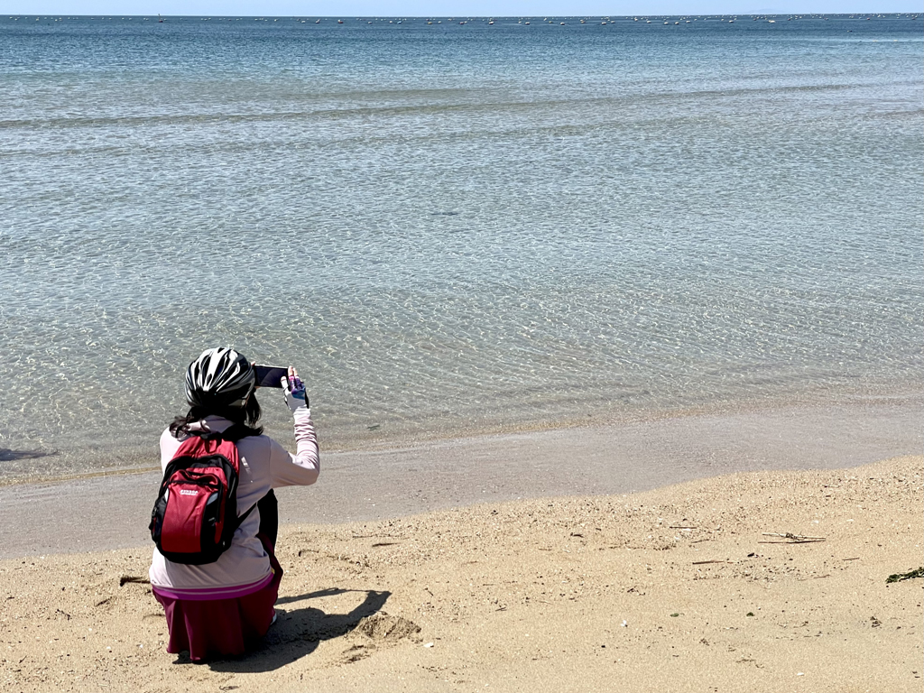
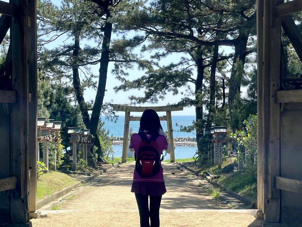

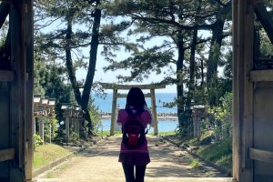

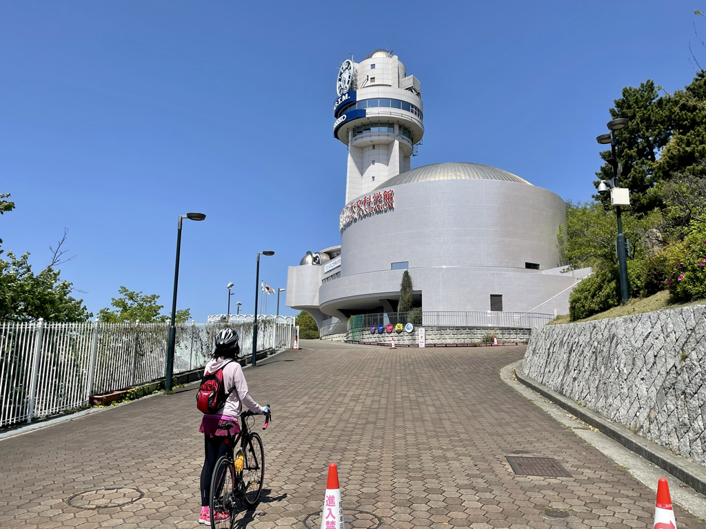
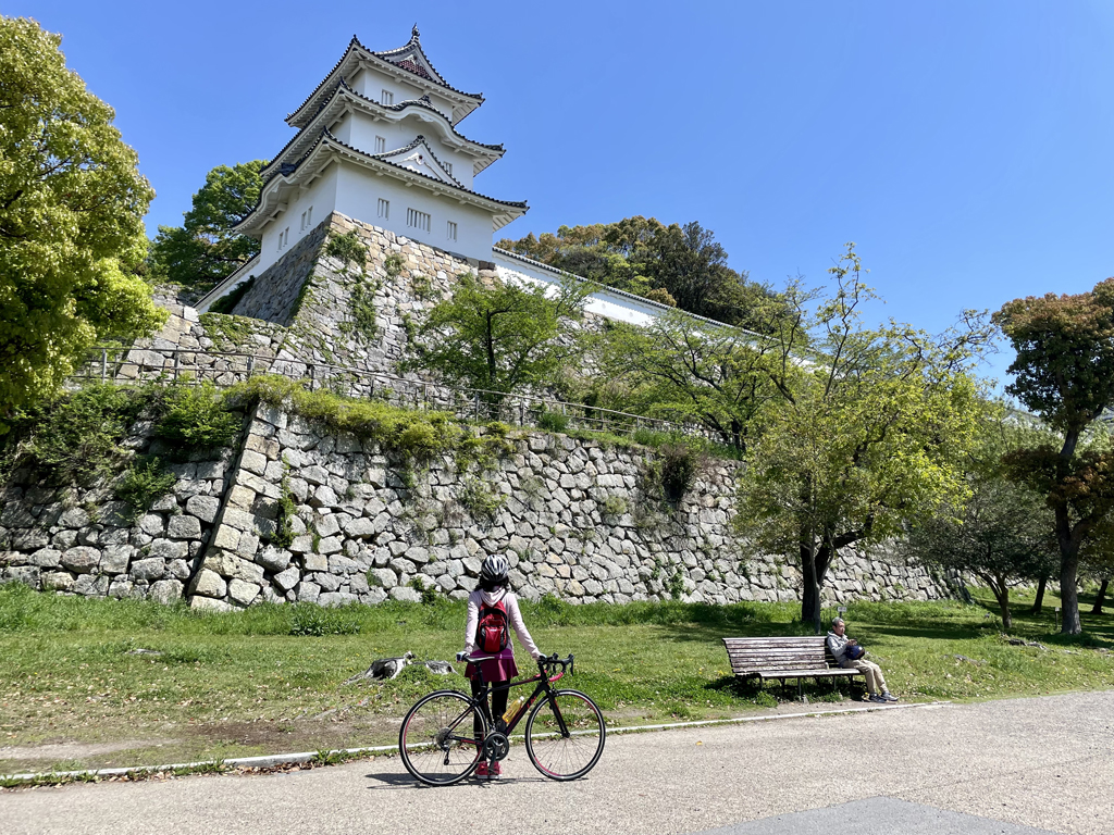
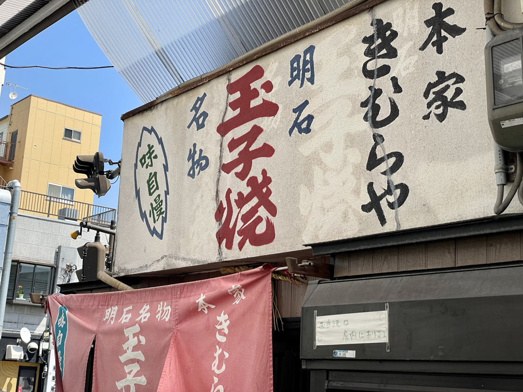
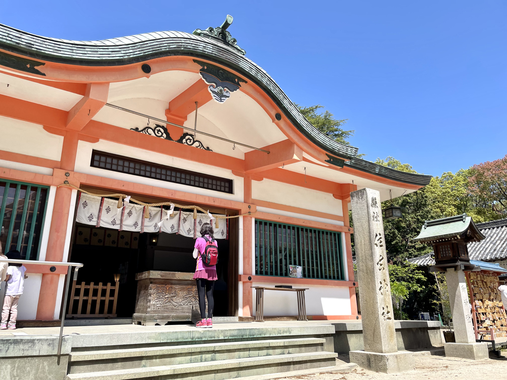
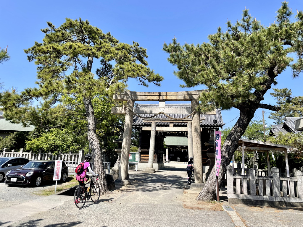
日本の標準子午線(東経135度線)上に位置していることから「時のまち」として知れられる明石市。明石海峡を挟んだ対岸の淡路島との航路拠点として「海峡のまち」とも呼ばれ、瀬戸内海で獲れる明石鯛・明石ダコなどの新鮮な魚介類も有名です。
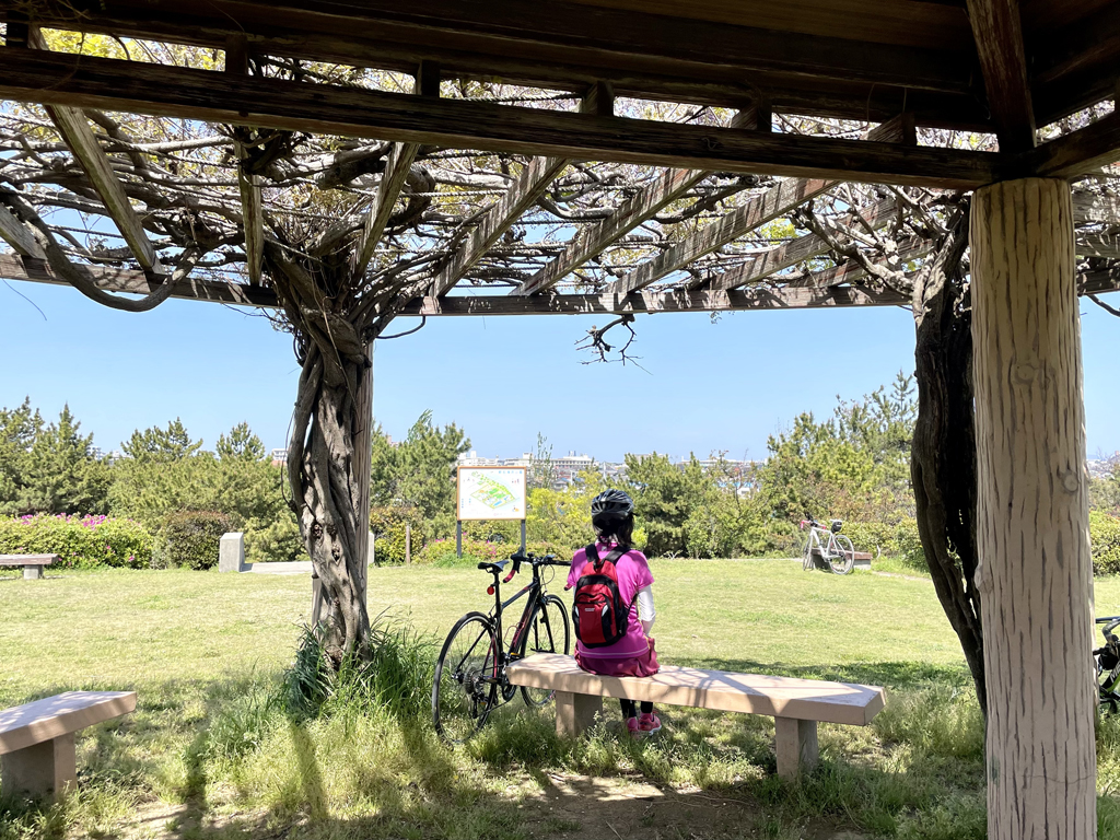
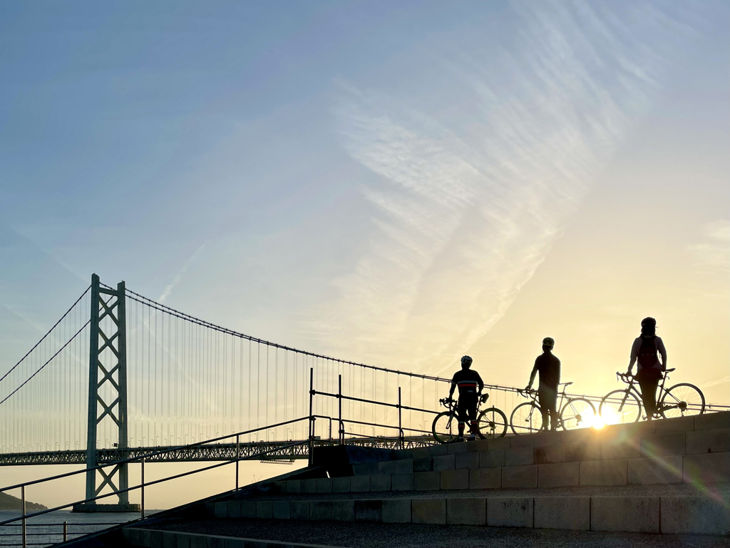
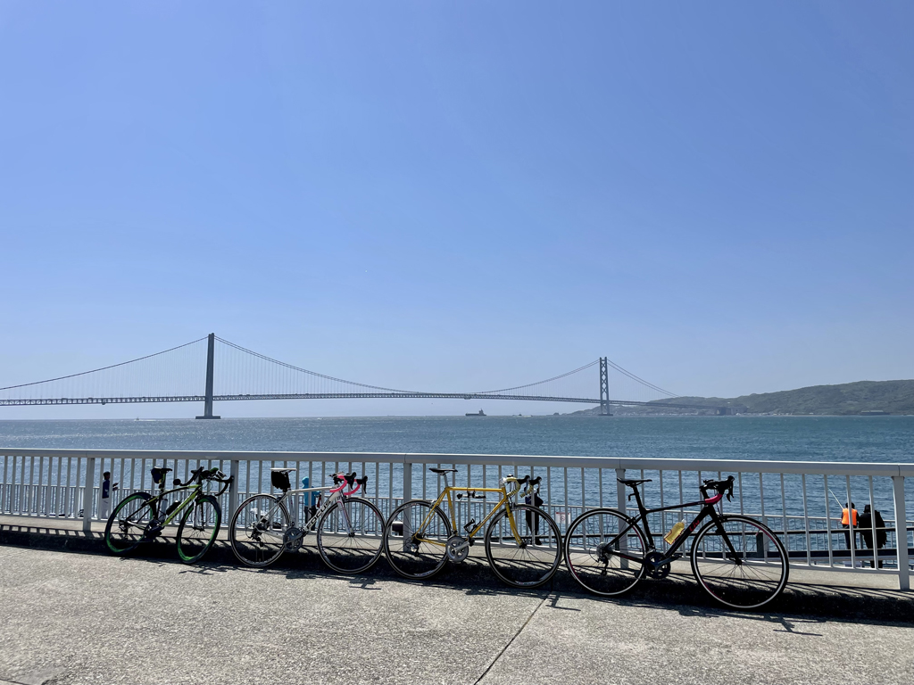
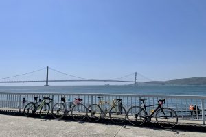
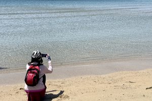
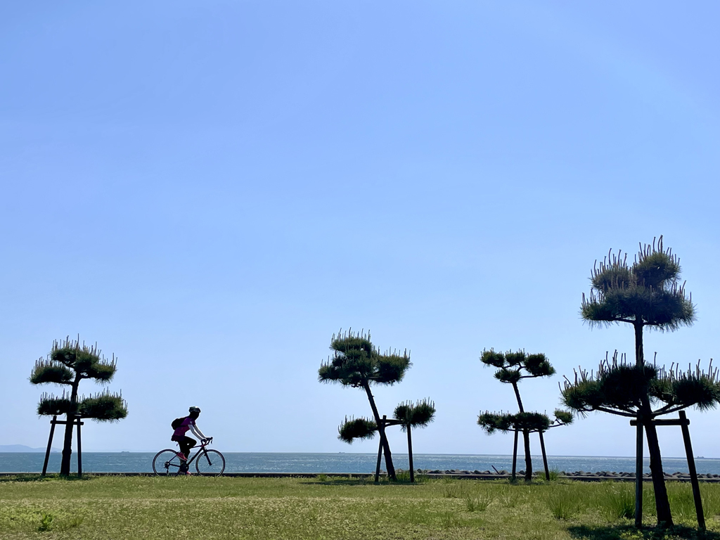
姫路明石自転車道の一部でもある「浜の散歩道(播磨サイクリングロード)」を走って、明石海峡大橋と美しい海とを望む44kmのシーサイドサイクリングをご紹介します。
Akashi City is known as the “City of Time” because it is located on Japan's standard meridian (135 degrees east longitude). It is also called a “strait town” as a shipping hub with Awaji Island on the opposite bank across the Akashi Strait, and is also famous for fresh seafood such as Akashi sea bream and Akashi octopus caught in the Seto Inland Sea.
I will introduce 44km seaside cycling with a view of the Akashi Kaikyo Bridge and the beautiful ocean by running on the “Beach Walking Path (Harima Cycling Road),” which is also part of the Himeji Akashi Bicycle Path.
日本の標準子午線(東経135度線)上に位置していることから「時のまち」として知れられる明石市。明石海峡を挟んだ対岸の淡路島との航路拠点として「海峡のまち」とも呼ばれ、瀬戸内海で獲れる明石鯛・明石ダコなどの新鮮な魚介類も有 […]
記事詳細へ※オンラインの地図上でサイクリングルートが閲覧できるウェブサイト「ルートラボ」が2020年3月末でサービス終了したため、「bikemap」に変更したことで、bikemap内の距離や高低差に誤差が生じている場合がありますが、ご理解ご了承の程、よろしくお願いします。