![]()
![]()
![]()
![]()
![]()
![]()
![]()
![]()
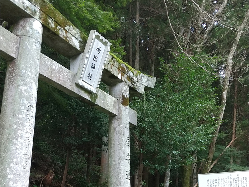
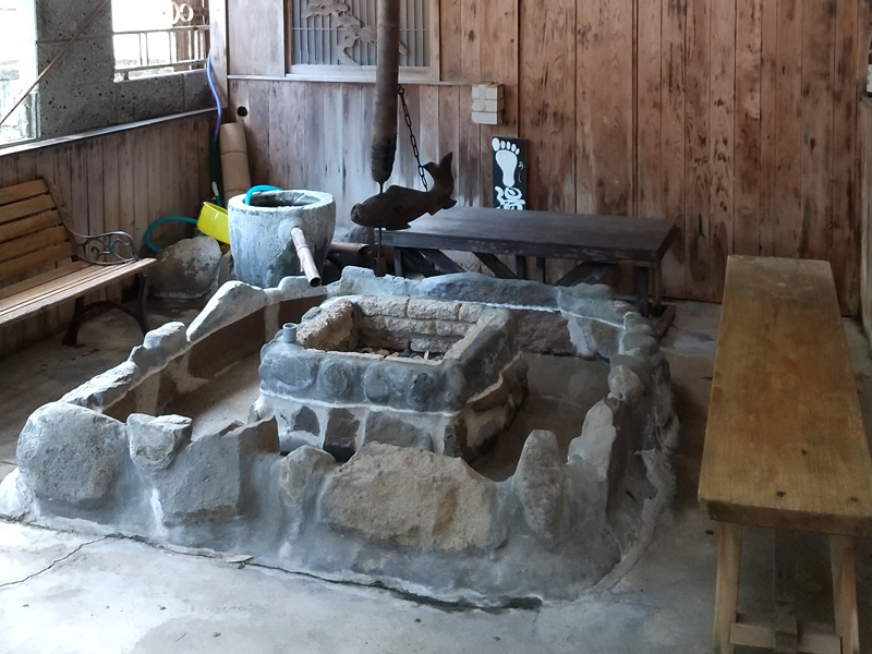
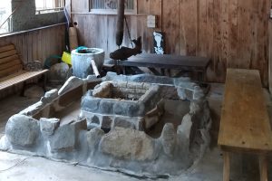
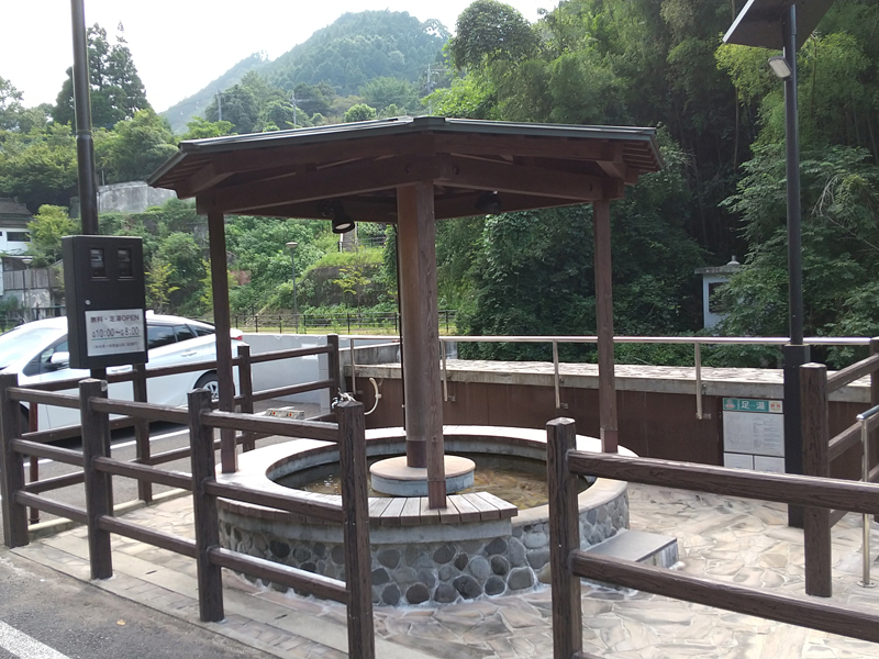
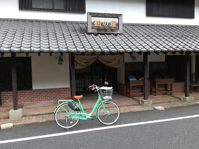
湯の鶴コースは湯出川を両脇に眺めながら走る約4.4kmのコース。起伏の激しいコースですが、高低差があるため、棚田や湯出神社から眺める景色は絶景です。夏は川縁に降りて水遊び、足湯でひと休み。湯の鶴温泉の泉質はさらっと柔らかで、美人湯として評判の温泉です。
The Yunotsuru Course is a 4.4-kilometer course that runs while looking out at both sides of the Yudegawa River. It's a rough course, but since there are differences in elevation, the view from rice terraces and Yuide Shrine is spectacular. In summer, go down to the riverside, play in the water, and take a break in the footbath. The spring quality of Yunotsuru Onsen is smooth and soft, and it is a popular hot spring for beautiful women.
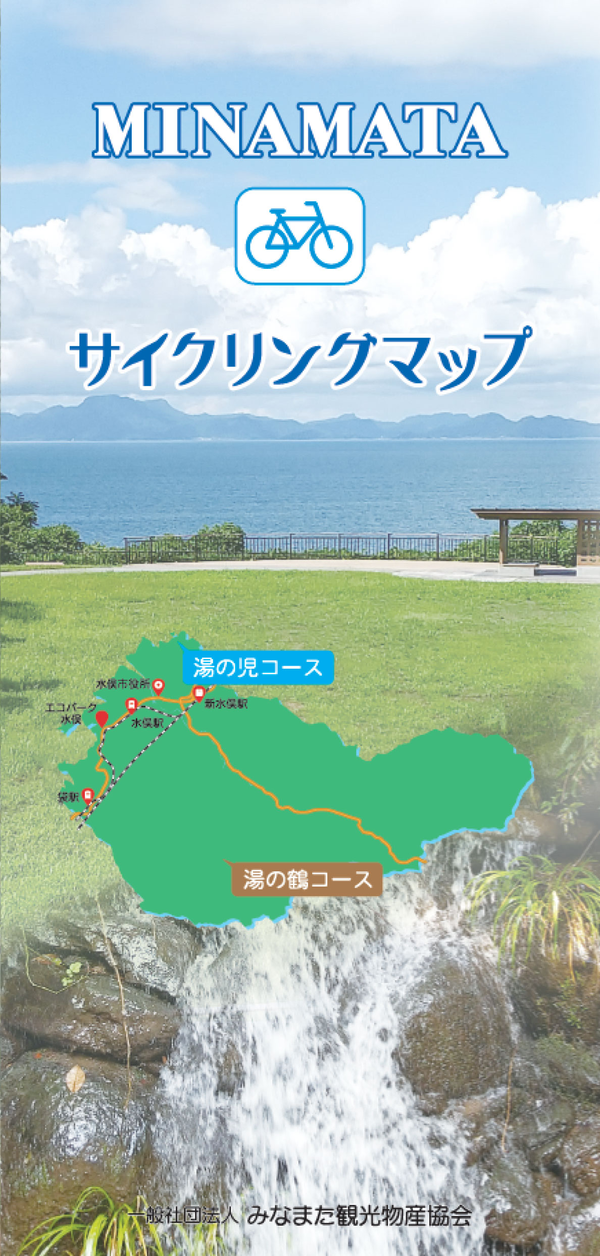
湯の児・湯の鶴地区でサイクリングしませんか?
不知火海が眼前に広がる風景を楽しみ、海の風を感じながらサイクリングするのもよし!
山々の木々に囲まれながら、季節を感じ、川のほとりで休みながらサイクリングするのもよし!
是非、水俣の自然を体全体で感じにサイクリングしに来てみませんか?
マップ詳細へ※オンラインの地図上でサイクリングルートが閲覧できるウェブサイト「ルートラボ」が2020年3月末でサービス終了したため、「bikemap」に変更したことで、bikemap内の距離や高低差に誤差が生じている場合がありますが、ご理解ご了承の程、よろしくお願いします。
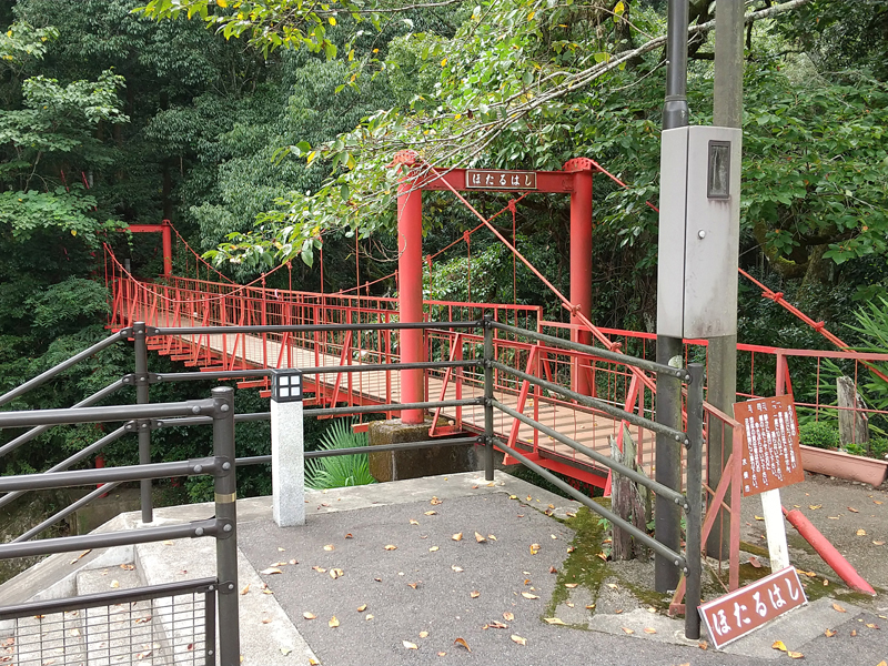
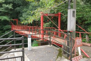
その名の通り、川面にほたるが飛び交うのが見られる橋が由来。
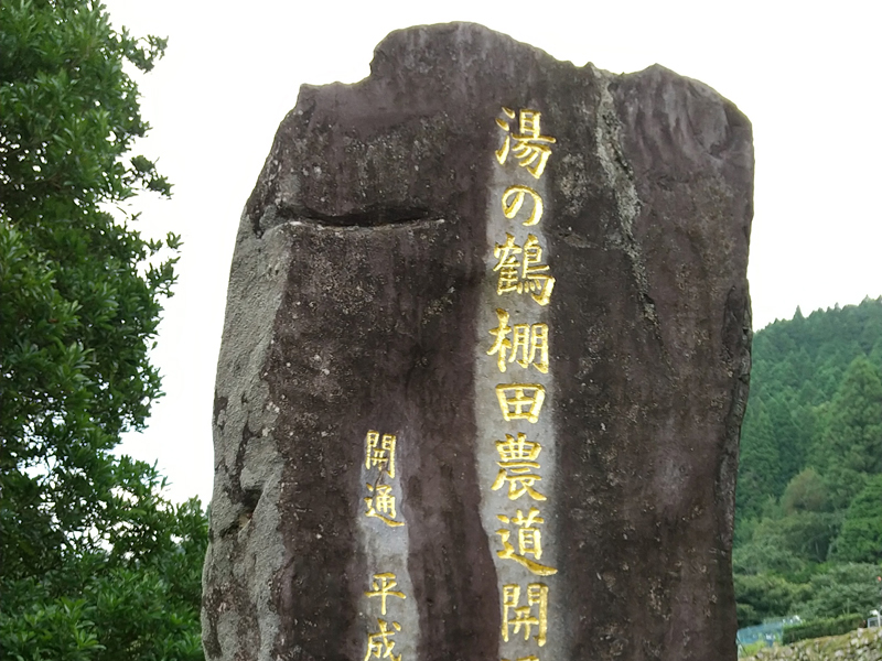
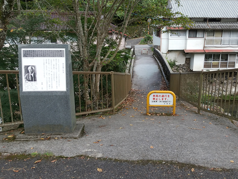
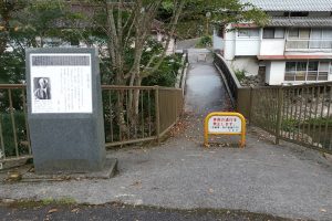
湯の鶴棚田花公園に、平成12年4月農道が開通したことを記念して建立された碑。
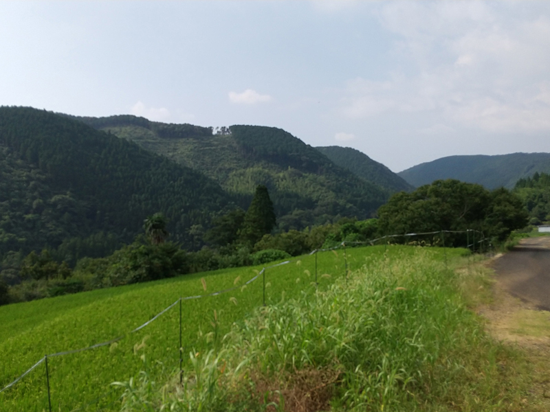
湯出川の川畔に沿う温泉場の片方に丁寧に石積みされた綺麗な棚田。湯の鶴のパノラマポイント。
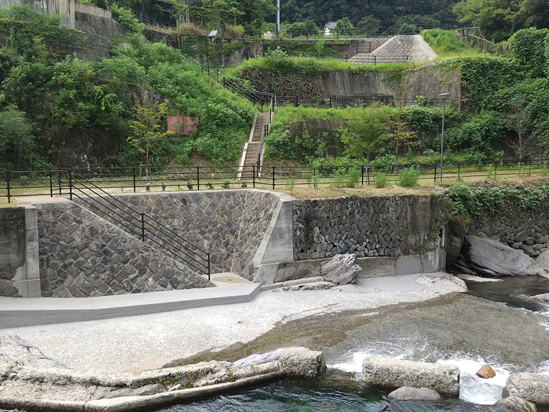
今では珍しい、飛び石で川べりを行ったり来たり水遊び!
当時の資産家、深水六堂氏とジャーナリスト徳富蘇峰氏によって名付けられた橋。