コース・マップ検索
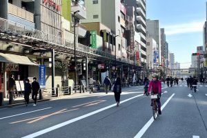
江東区北部散策18kmコース
距離 Distance:
18.8km
獲得標高 上り Elevation Gain (Up):
34m
獲得標高 下り Elevation Gain (Down):
32m
最大標高差 Maximum elevation difference:
ー
江東区は東京都の東部に位置し、隅田川と荒川に挟まれ南は東京湾に面しています。
Koto Ward is located in the eastern part of Tokyo, sandwiched between the Sumida River and the Arakawa River, and faces Tokyo Bay to the south.
コース掲載記事 【東京都】小春日和に自転車で都内を再発見 /ディスカバー東京:江東区編
江東区は東京都の東部に位置し、隅田川と荒川に挟まれ南は東京湾に面しています。 首都圏に住んでいる人でも、実は知らないスポットが多い「東京23区」。東京を拠点に、長年にわたり自転車関連商品の企画や卸売などを行う東京サンエス […]
記事詳細へ
オススメスポット ビュースポット いきもの・植物 グルメ ショッピング 道の駅 温泉 宿泊 病院 レンタサイクル 自転車販売店 サイクリングサポート トイレ その他
※オンラインの地図上でサイクリングルートが閲覧できるウェブサイト「ルートラボ」が2020年3月末でサービス終了したため、「bikemap」に変更したことで、bikemap内の距離や高低差に誤差が生じている場合がありますが、ご理解ご了承の程、よろしくお願いします。
コース周辺スポット
全て
オススメスポット
ビュースポット
グルメ
ショッピング
その他
で絞り込む
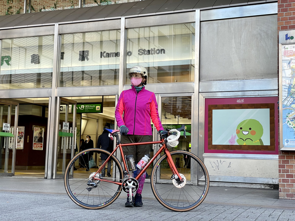
亀戸駅
住所:東京都江東区亀戸5丁目
TEL:03-3638-3168
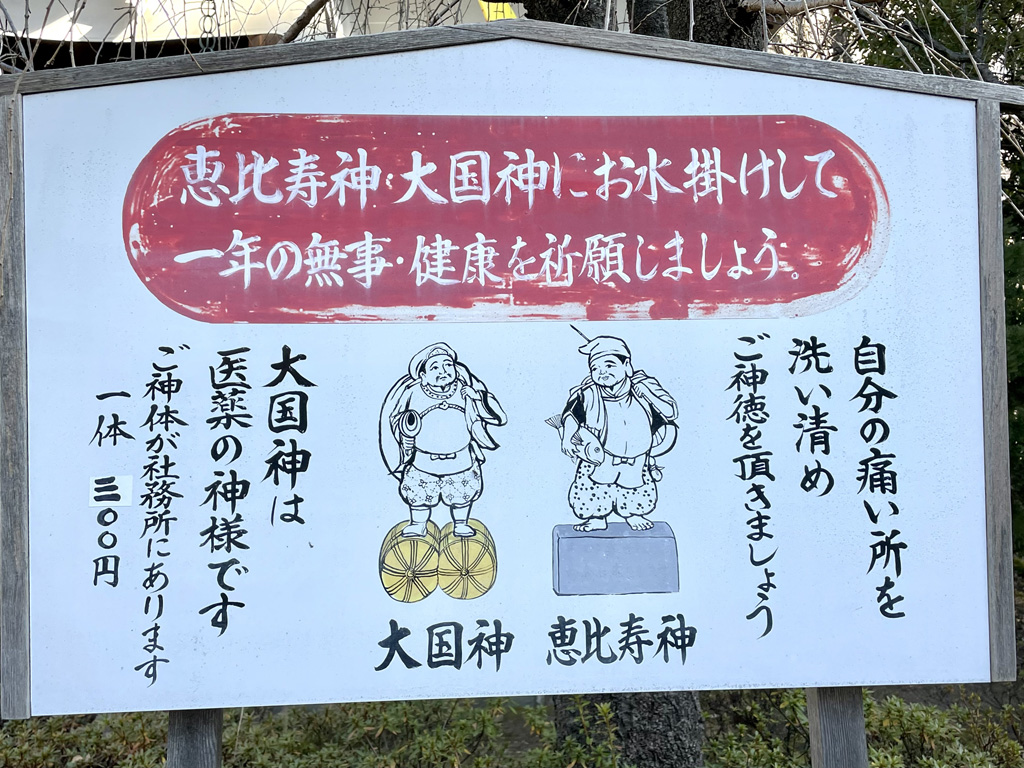
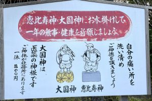
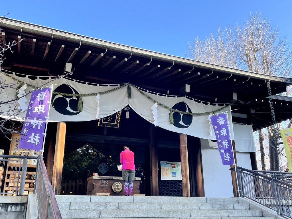
亀戸香取神社
住所:東京都江東区亀戸3-57-22
TEL:03-3684-2813
営業時間:
授与所受付時間:9:00~17:00
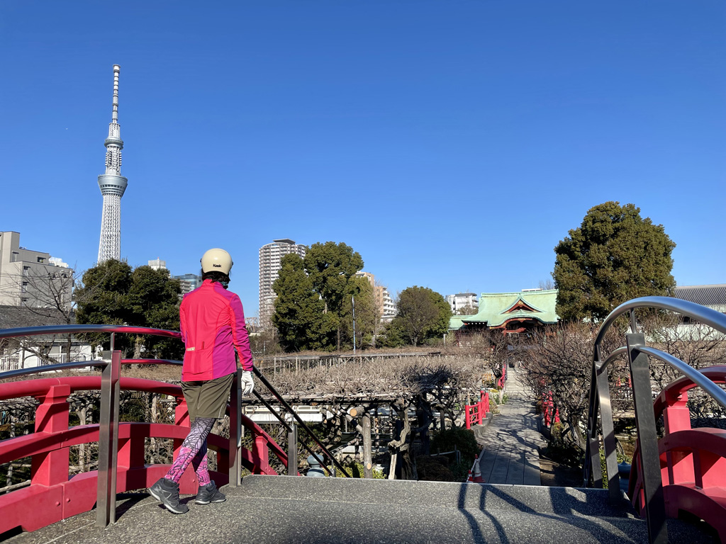
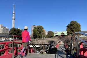
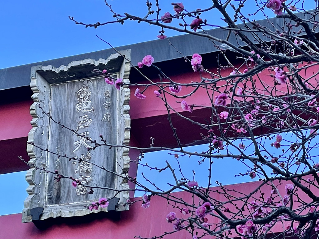
亀戸天神社
住所:東京都江東区亀戸3丁目6−1
TEL:03-3681-0010
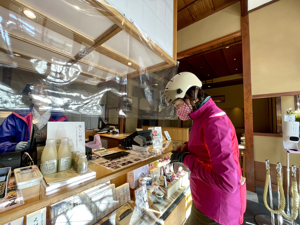
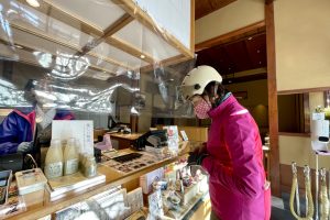
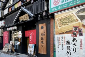
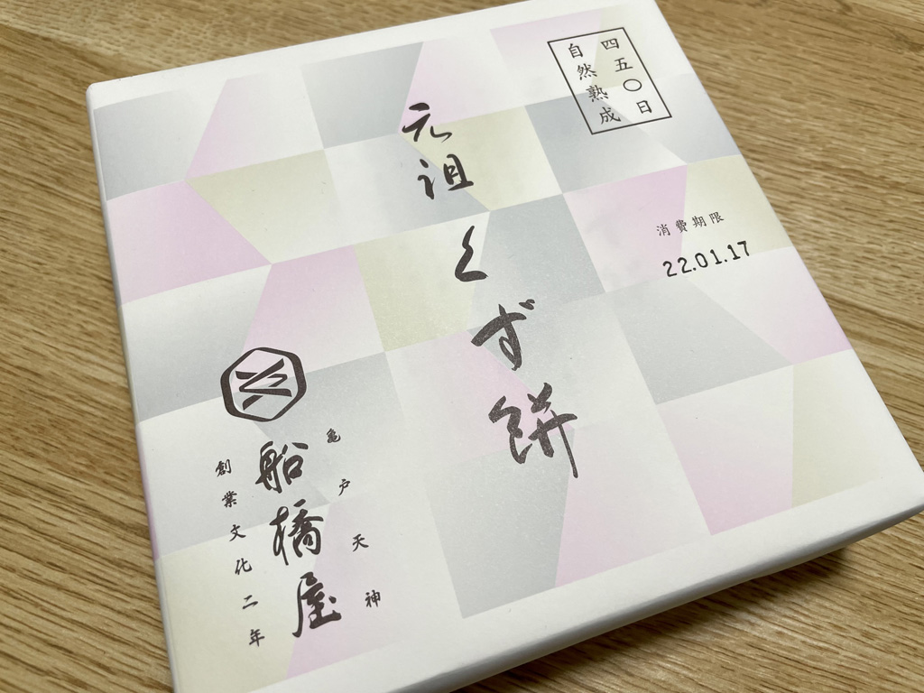
元祖くず餅「船橋屋」亀戸天神前本店
住所:東京都江東区亀戸3-2-14
TEL: 03-3681-2784
営業時間:
テイクアウト:9:00~18:00
イートイン:11:00~17:00(L.O.)
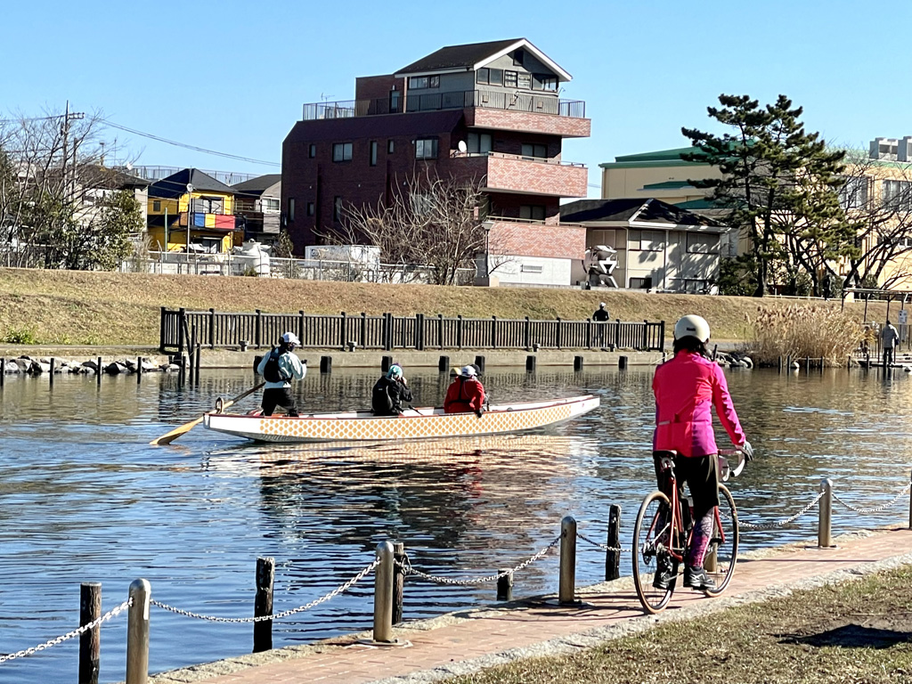
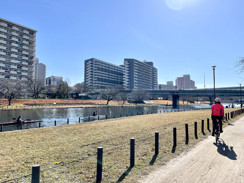
旧中川
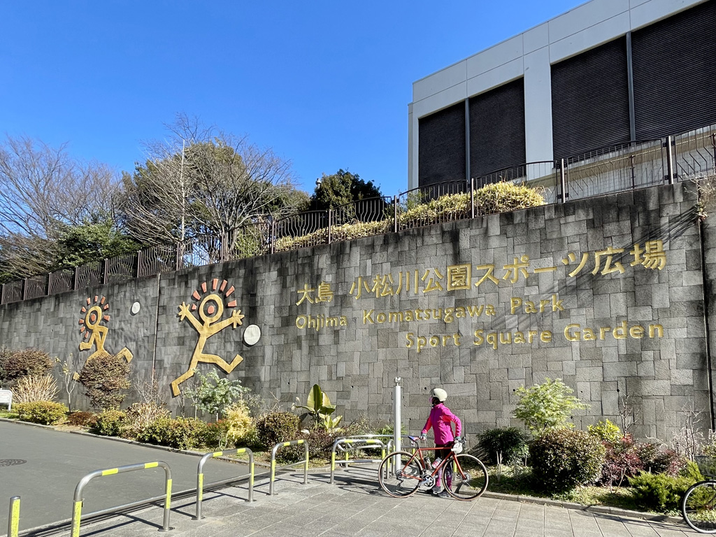
大島小松川公園
旧中川を挟んで江東区と江戸川区にまたがってある都立公園。スポーツ広場が主体の地元民の憩いの場であるほか、災害時には20万人の避難場所となる防災拠点でもある。
住所:江東区大島九丁目(江戸川区小松川一丁目)
TEL:03-3636-9365(大島小松川公園サービスセンター)
営業時間:
24時間営業
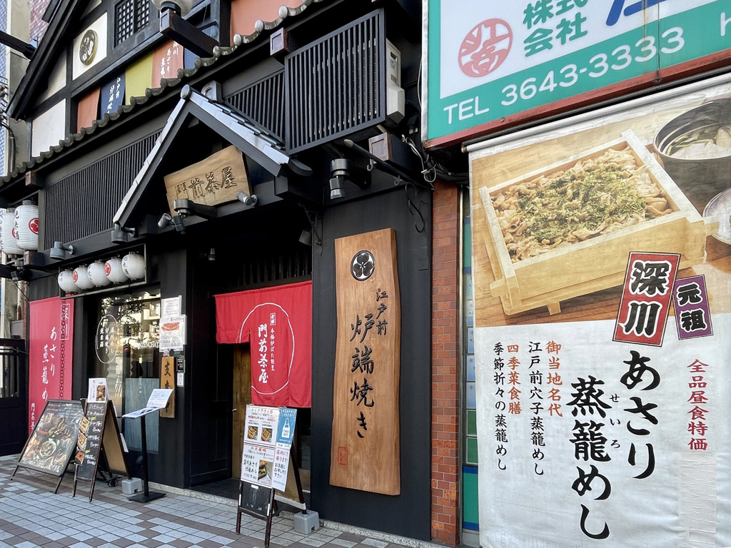
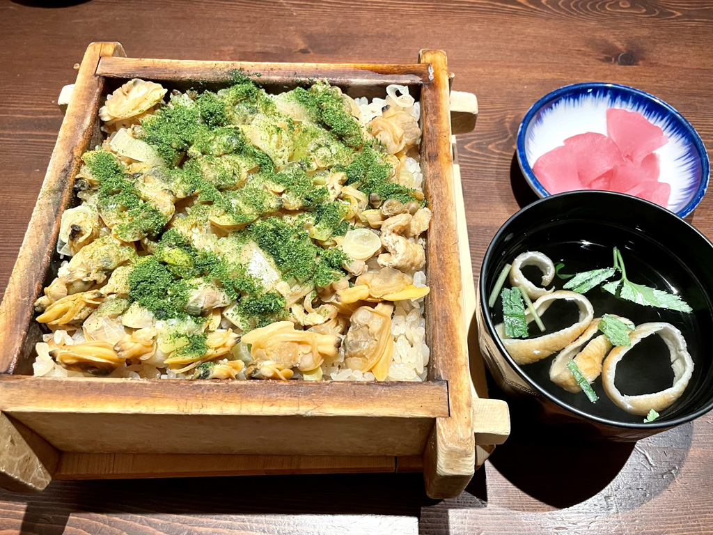
門前茶屋
住所:東京都江東区富岡1-5-1
TEL:03-3641-0660
営業時間:
火~金、祝前日: 11:30~14:00 (料理L.O. 13:30) 17:00~23:00 (料理L.O. 22:00 ドリンクL.O. 22:30)
定休日:
月曜日 12月30日・31日
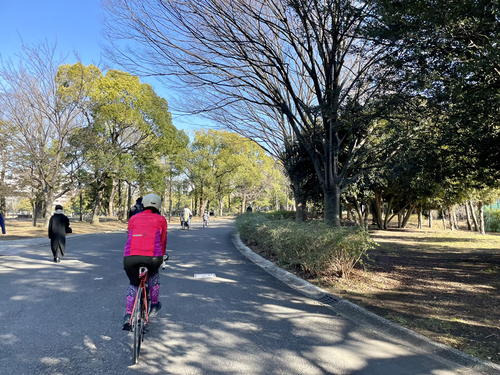
木場公園
住所:東京都江東区平野4丁目6−1
TEL:03-5245-1770(木場公園サービスセンター)
営業時間:
常時開園
料金:無料
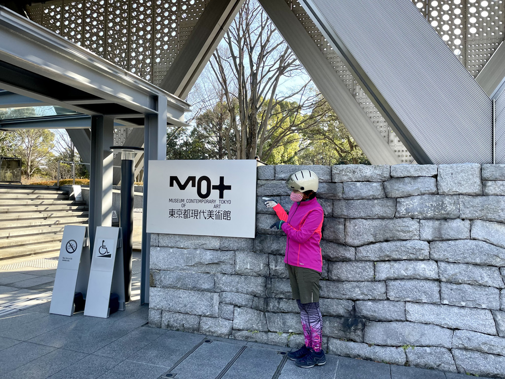
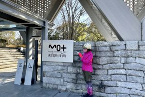
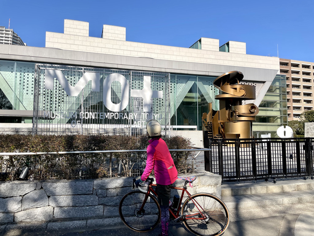
東京都現代美術館(MOT)
住所:東京都江東区三好4丁目1−1
TEL:03-3821-4306
営業時間:
10:00〜18:00(展示室入場は閉館の30分前まで)
定休日:
月曜日(ただし2023年1月2日、1月9日は開館)、1月10日 展示入替期間:10月17日~26日、10月31日~11月2日 年末年始:12月28日~2023年1月1日
料金:展覧会ごとに異なる
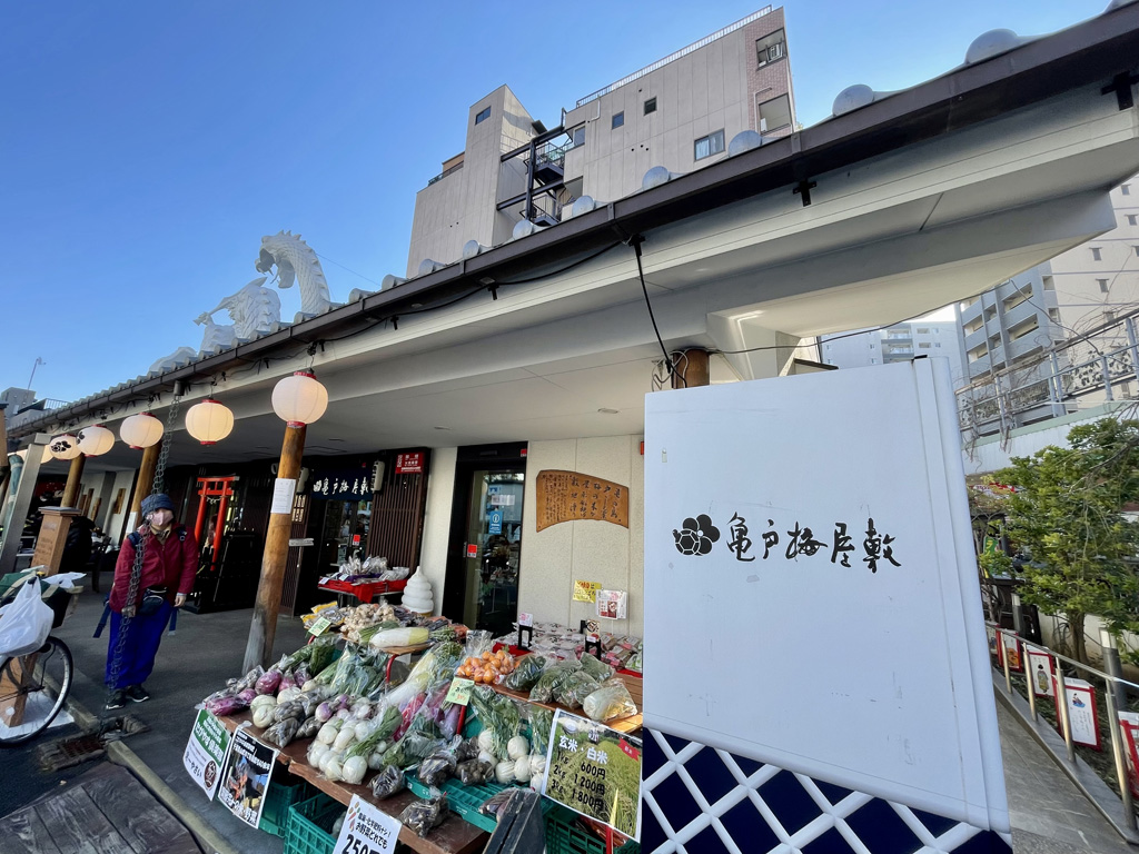
亀戸梅屋敷
住所:東京都江東区亀戸4-18-8
TEL:03-6802-9550
営業時間:
10:00〜18:00
定休日:
なし