


![]()
![]()
![]()
![]()
![]()
![]()
![]()
![]()

太古は縄文時代から人々が暮らし、江戸時代には土屋氏の城下町として醤油醸造業が盛んだった土浦市の、太古から現代の息吹を感じる。
In ancient times, people have lived there since the Jomon period, and in the Edo period, the soy sauce brewing industry flourished as a castle town of the Tsuchiya clan, and you can feel the breath of Tsuchiura from time immemorial to the present.
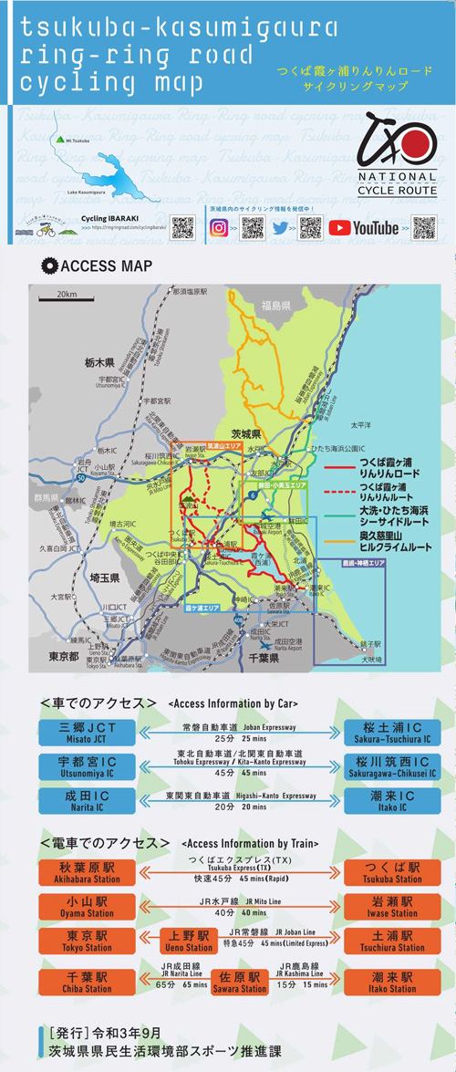
総延長は、ロングライド可能な180km!平坦なコース沿いには霞ヶ浦、日本百名山の筑波山など風光明媚なみどころが多く、筑波エリアでは、ヒルクライムも可能。
全てのサイクリストが、
それぞれのスタイルで楽しめるサイクリングロード
※オンラインの地図上でサイクリングルートが閲覧できるウェブサイト「ルートラボ」が2020年3月末でサービス終了したため、「bikemap」に変更したことで、bikemap内の距離や高低差に誤差が生じている場合がありますが、ご理解ご了承の程、よろしくお願いします。
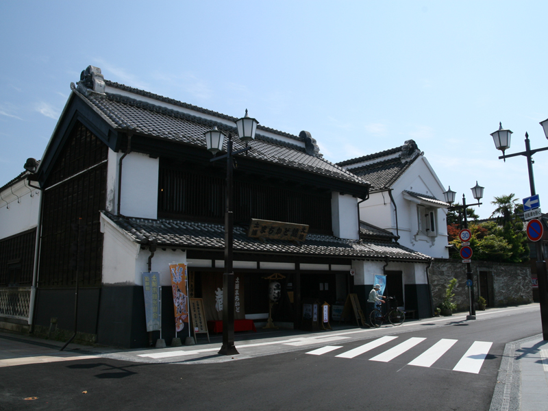
「大徳」はレンタサイクル貸出施設・観光案内や土産販売を行っている。
元禄元年(1688年)創業の老舗で見学も可能
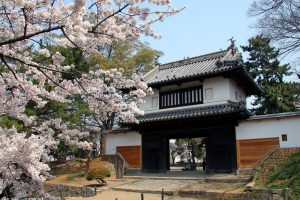
土浦城の本丸と二の丸の一部を整備した公園。城塁が水に浮かぶ亀のように見えたことに由来し、『亀城』ともよばれる。平成29年には日本城郭協会から「続日本100名城」に認定された。
芝生広場には復元した竪穴住居や石棺があり、縄文時代を舞台に撮影ができる。
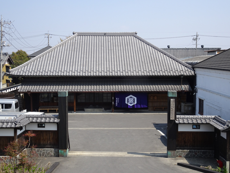
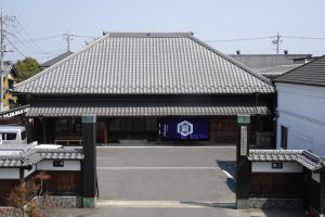
文武両道修練の場として作られた郁文館の趣ある門
亀城公園の隣にある。土浦藩土屋家の刀剣83口を所蔵しており、国宝や重要文化財も含まれる。刀剣好きにはたまらないコレクションを持っている。
