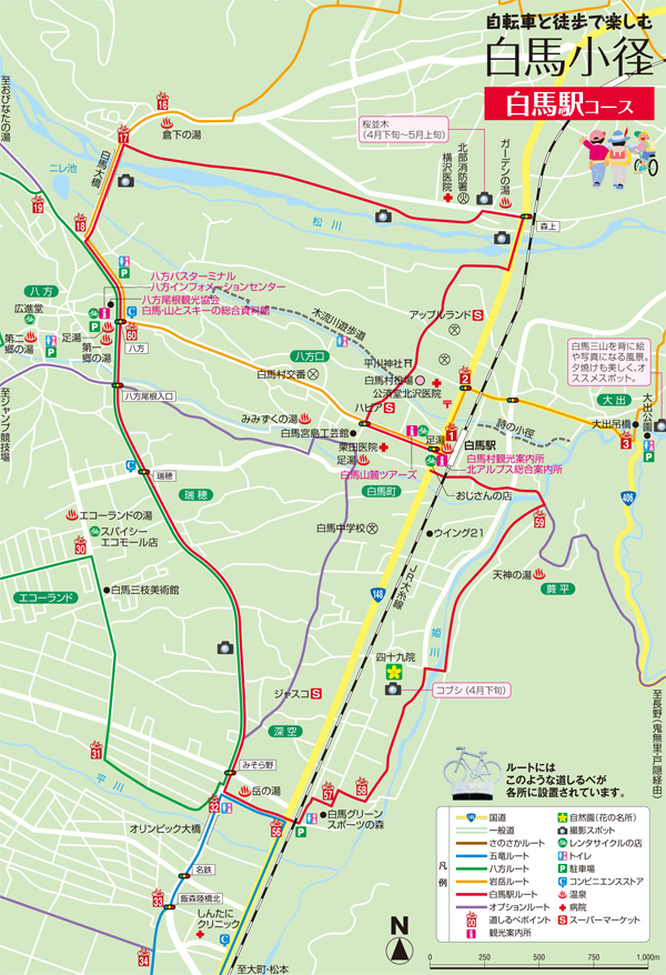
コース・マップ検索
白馬駅コース
距離 Distance:
10.1km
獲得標高 上り Elevation Gain (Up):
75m
獲得標高 下り Elevation Gain (Down):
78m
最大標高差 Maximum elevation difference:
75m
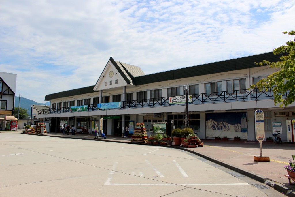
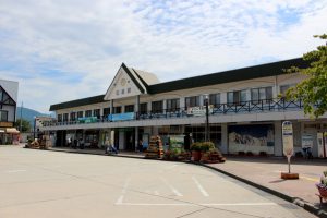
交通の起点となる白馬駅から周るコースで姫川や松川沿いの道路は交通量も少なくゆったりとまわることができ、途中の「グリーンスポーツの森」はファミリーで楽しめる遊具がある。絶景スポットの白馬大橋の他、アウトドア用品店が集まるエリアも通る。
It is a course that goes around Hakuba Station, which is the starting point of traffic, and the roads along the Himekawa River and Matsukawa have little traffic volume, and the “Green Sports Forest” along the way has playground equipment that families can enjoy. In addition to Hakuba Ohashi, a scenic spot, it also passes through an area where outdoor goods stores gather.
コース掲載マップ 白馬駅コース
関連記事
オススメスポット ビュースポット いきもの・植物 グルメ ショッピング 道の駅 温泉 宿泊 病院 レンタサイクル 自転車販売店 サイクリングサポート トイレ その他
※オンラインの地図上でサイクリングルートが閲覧できるウェブサイト「ルートラボ」が2020年3月末でサービス終了したため、「bikemap」に変更したことで、bikemap内の距離や高低差に誤差が生じている場合がありますが、ご理解ご了承の程、よろしくお願いします。
コース周辺スポット
全て
オススメスポット
病院
レンタサイクル
サイクリングサポート
で絞り込む
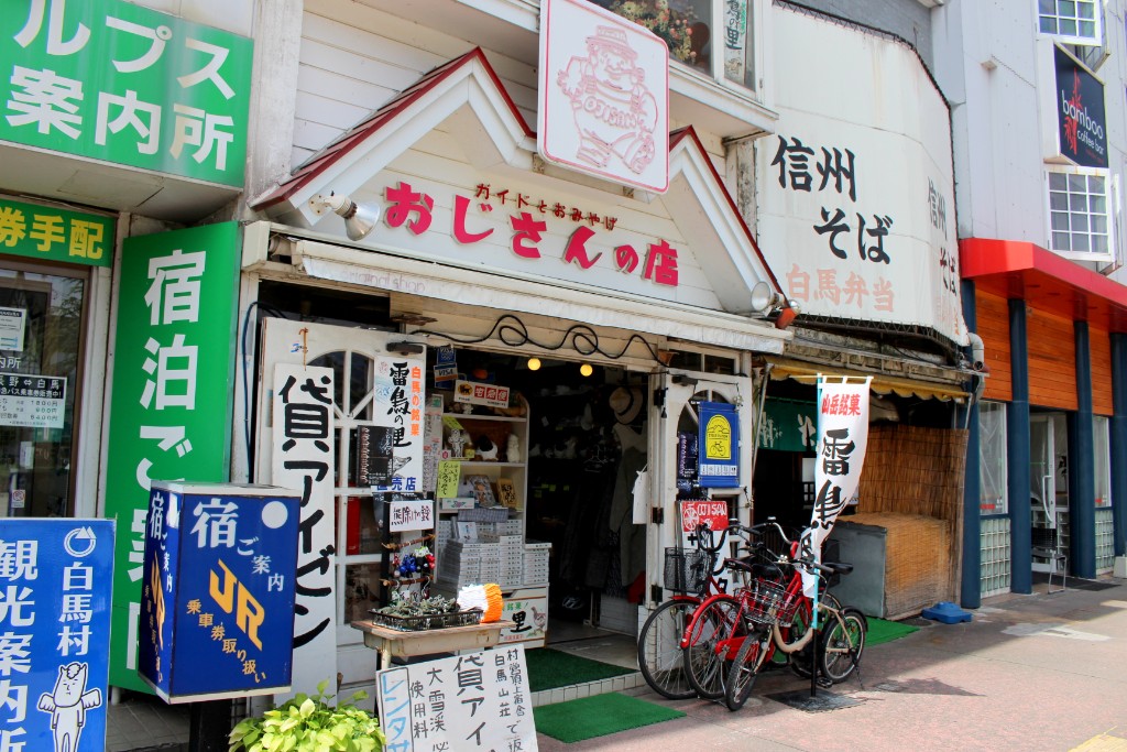
おじさんの店
住所:長野県北安曇郡白馬村大字北城6140-1
TEL:0261-72-2129
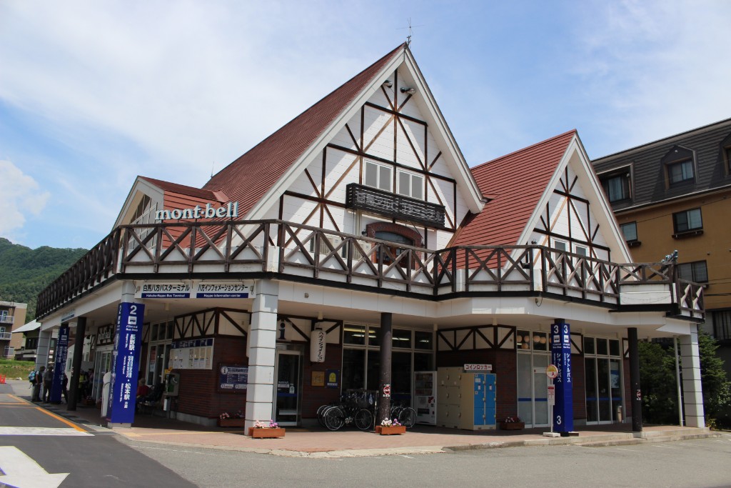
八方インフォメーションセンター
住所:長野県北安曇郡白馬村大字北城5734-1
TEL:0261-72-3066
営業時間:
[夏季]6:00~18:00(3月26日〜12月中旬)
定休日:
無休
料金:[レンタサイクル]タウン・子供用自転車 450円(1時間)、1,600円(1日)
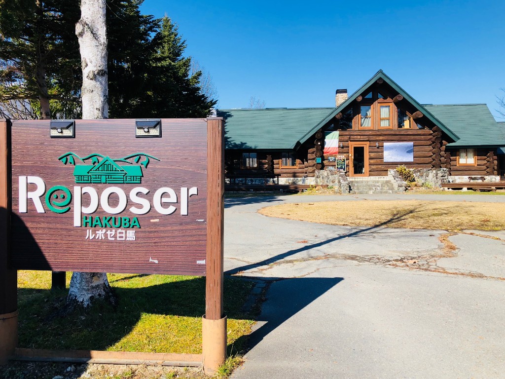
ルポゼ白馬
住所:長野県北安曇郡白馬村大字北城3030-1
TEL:0261-85-2822
営業時間:
[レストラン]11:30~14:30
定休日:
[レストラン・カフェ]火曜日
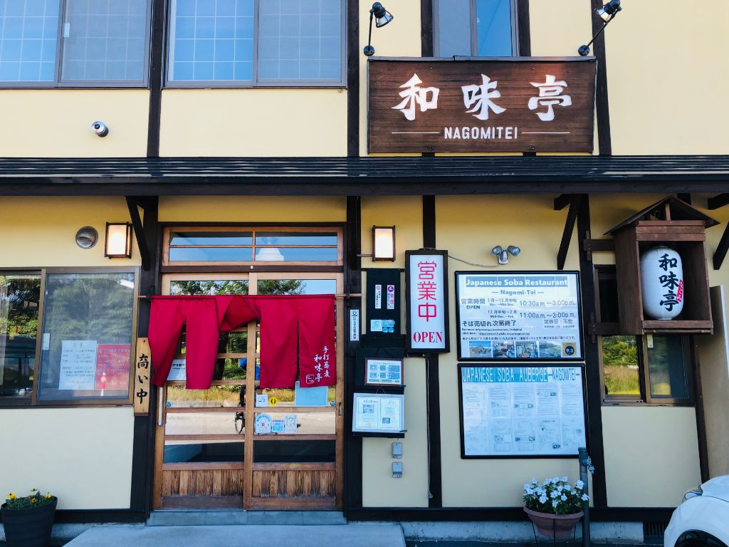
和味亭
住所:長野県北安曇郡白馬村北城3140
TEL:0261-72-7797
営業時間:
[3~12月中旬]10:30~15:00
定休日:
不定休
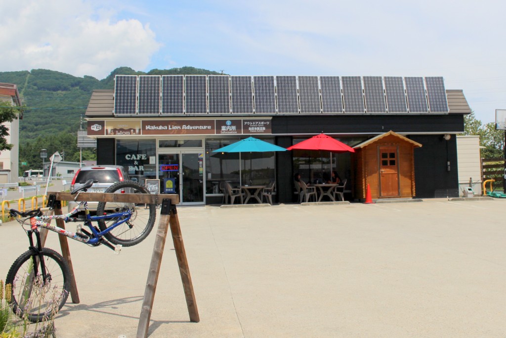
ライオンcafé
住所:長野県北安曇郡白馬村北城5746-3
TEL:0261-72-3860
営業時間:
8:00~17:00
定休日:
水曜日
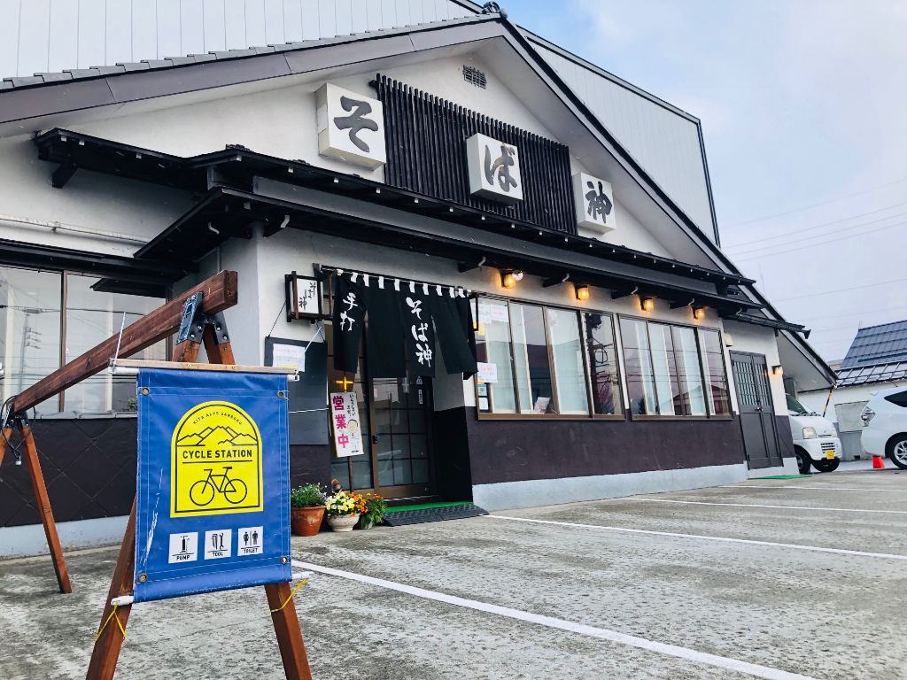
そば神白馬店
住所:長野県北安曇郡白馬村大字北城白馬町2126-2
TEL:0261-72-2055
営業時間:
11:00~15:00
定休日:
木曜日
白馬大橋
日本の道百選のひとつ。ここから望む白馬連峰と清流の調和が素晴らしい。近くに露天風呂やキャンプサイトもあります。
白馬グリーンスポーツの森
住所:長野県北安曇郡白馬村北城265
TEL:0261-72-4755
営業時間:
4/28~10/31 8:30~17:00
料金:1人50円(3歳未満無料)
白馬・山とスキーの総合資料館
白馬村の歴史は約100年前に始まりました。国が地図を作製する為に始めた測量登山をきっかけに山岳開発が始まり、その後大きな登山ブームが訪れました。登山ブームを牽引した白馬村の山案内人が愛したのが冬山でのスキー。その歴史の中で広がってきた文化を知れば白馬村の魅力を再発見できることでしょう。
住所:長野県北安曇郡白馬村北城八方文化会館
TEL:0261-72-2477 (八方文化会館)
営業時間:
10:00~16:30(最終入館16:00)
定休日:
水曜日
料金:大人300円、高校生200円、中学生以下無料
SPICYエコモール店
住所:長野県北安曇郡北城
TEL:0261-72-2858
営業時間:
[冬季]8:00~18:00
広進堂
横沢医院
住所:長野県北安曇郡白馬村大字北城9715-2
TEL:2061-72-2008
栗田医院
住所:北安曇郡白馬村大字北城5986
TEL:2061-72-2428
しんたにクリニック
住所:長野県北安曇郡白馬村神城24195-56
TEL:2061-75-4177
受付時間:
[受付時間]8:30~11:30、13:30~17:00
休診日:
土曜日午後、日曜日、 第1・3土曜日
流星花園
住所:長野県北安曇郡白馬村北城828-334
TEL:0261-85-2183
Ricca
住所:長野県北安曇郡白馬村北城2548−2
TEL:0261-85-0321
営業時間:
11:00~18:00
定休日:
水曜日
フルマークス白馬店
住所:長野県北安曇野白馬村北城5595-11
TEL:0261-72-7344
営業時間:
12:00~20:00
定休日:
[4月~11月]水曜日