


![]()
![]()
![]()
![]()
![]()
![]()
![]()
![]()


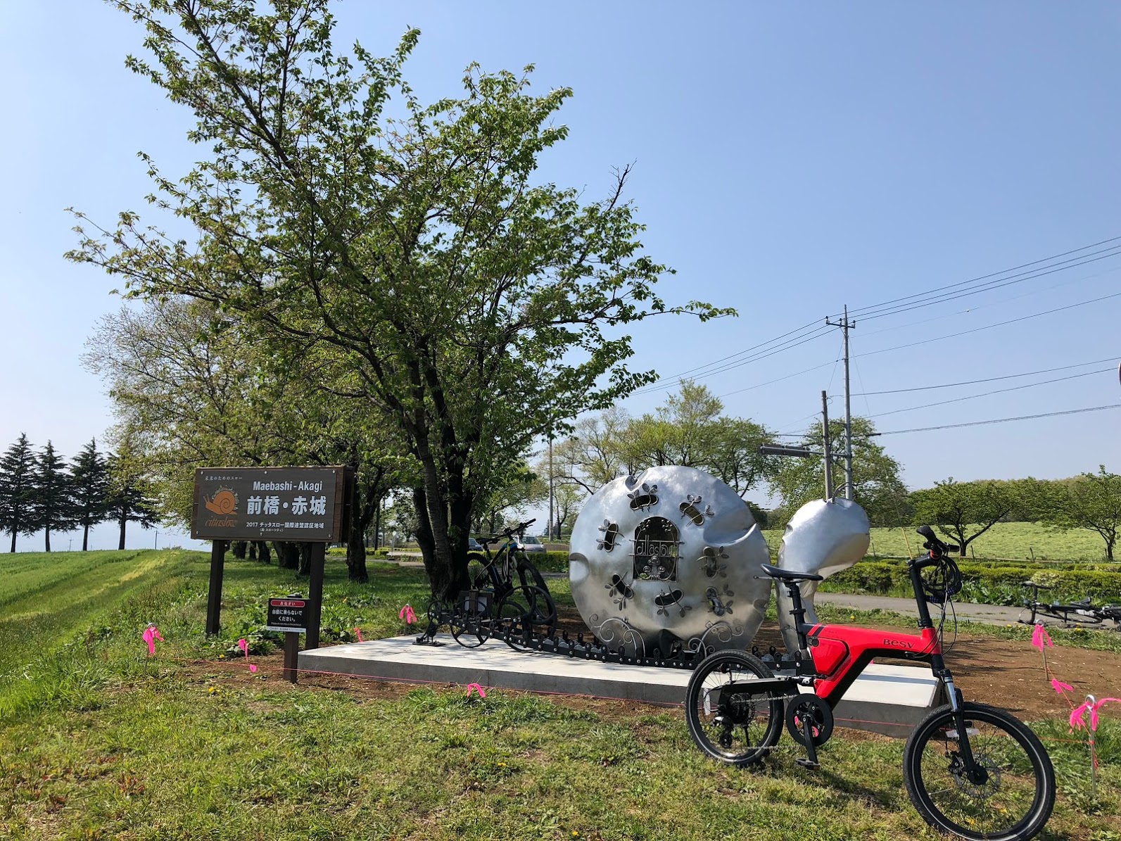
距離120km、獲得標高2,000m!のダイナミックな山岳コース
富士山に次いで日本で2番目に長い裾野を持つ赤城山の外周約120kmをぐるりと一周する獲得標高約2,000mの上級者向け超山岳ルート。
下界を見下ろす雄大な景色と、森林の中を走り抜ける自然豊かな景色が織りなす、赤城山を満喫できるダイナミックなレイアウト。完走するためには途中に点在するサイクルオアシスを活用して休憩やエネルギーチャージをしながら巡るのがコツ。
特に赤城山北側エリアは勾配がきつくさらにトイレや補給ポイントが少ないので早めの休憩が必須!コースは時計回り、反時計回りで表情も変わるので2度目のチャレンジも楽しい。
The distance is 120 km, and the elevation obtained is 2,000 meters! The dynamic mountain course is a super mountain route for advanced riders that goes around the outer circumference of Mt. Akagi, which has the second-longest foothold in Japan after Mt. Fuji, and has an elevation
of about 2,000 meters. A dynamic layout where you can fully enjoy Mt. Akagi, with a majestic landscape overlooking the lower world and nature-rich scenery running through the forest. In order to finish the race, the trick is to take a break and recharge your energy by using cycle oases scattered along the way. The slope is particularly tight in the area on the north side of Mt. Akagi, and there are few restrooms and supply points, so an early break is essential! The course turns clockwise and counterclockwise, and the expression changes, so the second challenge is fun.
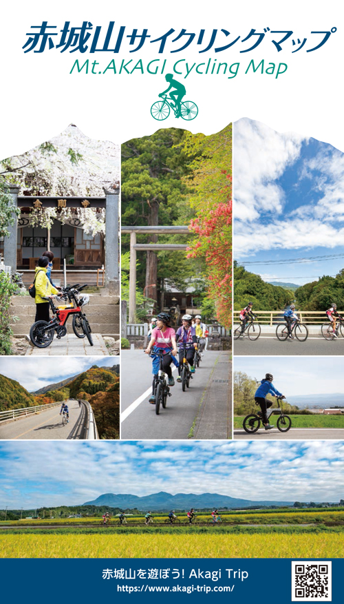
赤城山を遊ぼう!Akagi Trip
マップ詳細へ※オンラインの地図上でサイクリングルートが閲覧できるウェブサイト「ルートラボ」が2020年3月末でサービス終了したため、「bikemap」に変更したことで、bikemap内の距離や高低差に誤差が生じている場合がありますが、ご理解ご了承の程、よろしくお願いします。
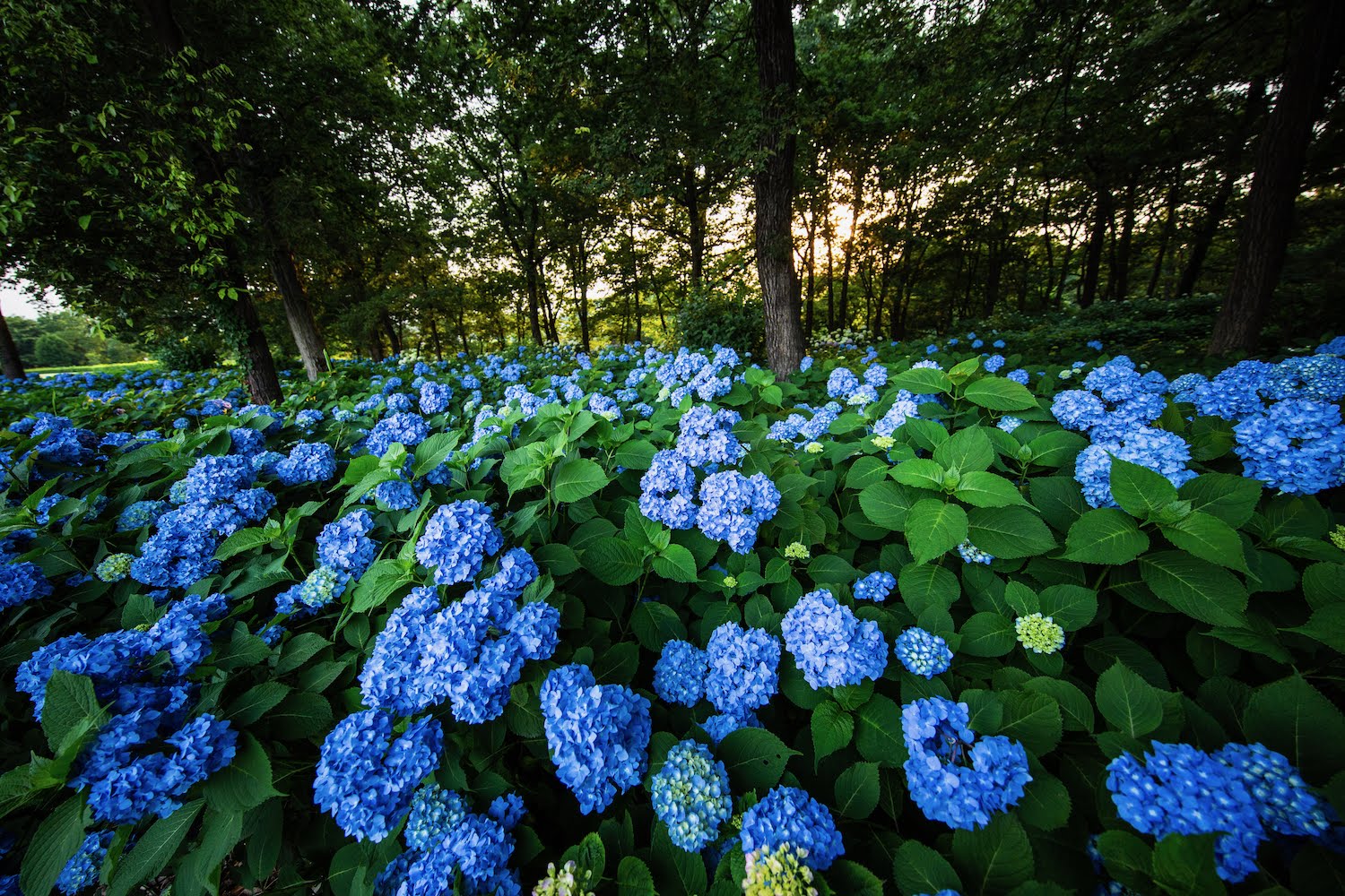
地元の新鮮野菜や自家製ポップコーン、牧場ソフトクリームが人気! 6月中旬~7月初めはアジサイも。
AKAGI Cycle Oasis(あかぎサイクルオアシス)
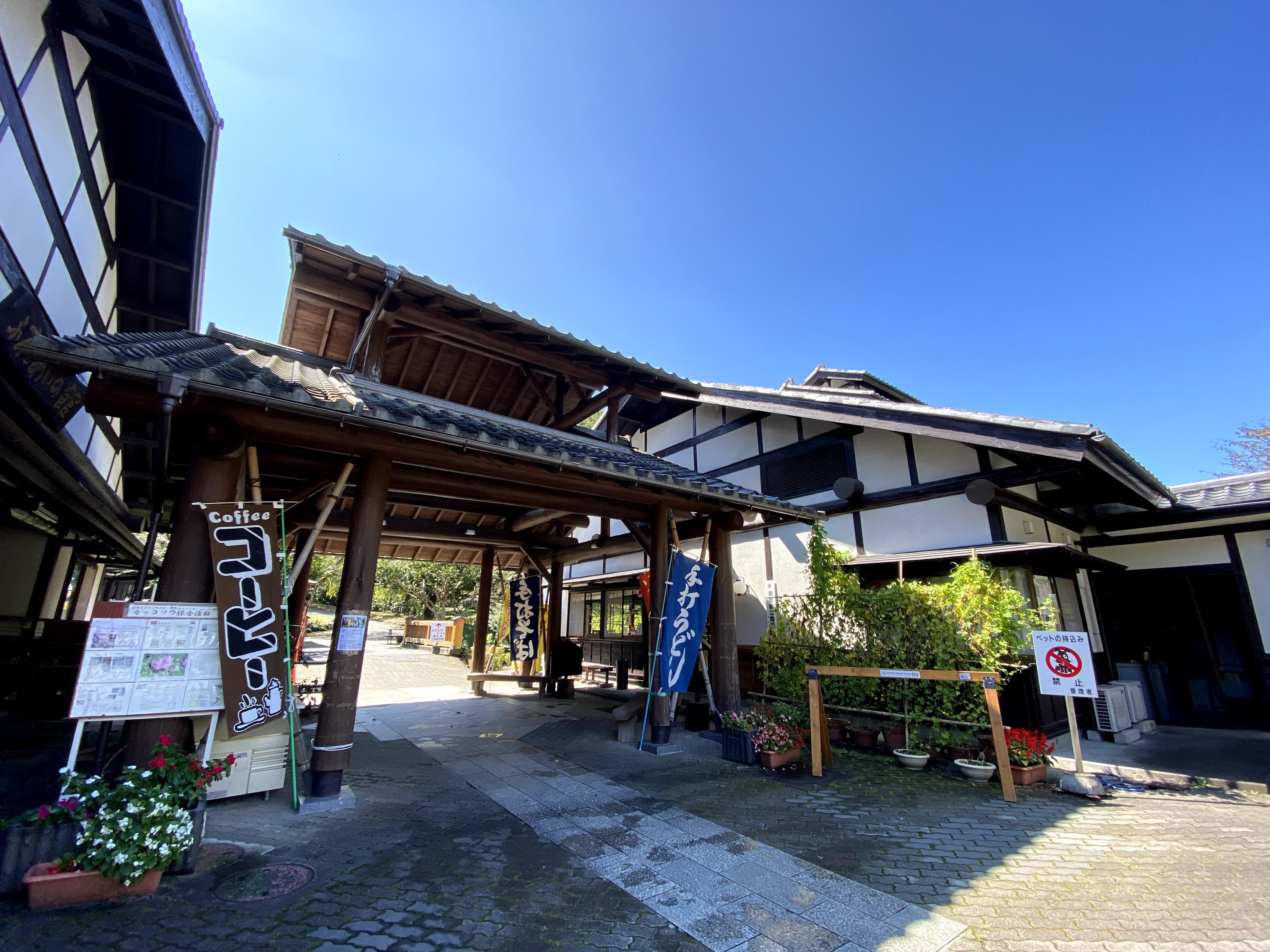
赤城山東麓の広大な自然の中に、キャンプ場、親水公園、鍾乳洞、水車小屋、日帰り入浴施設などがあり1日楽しむことができる。
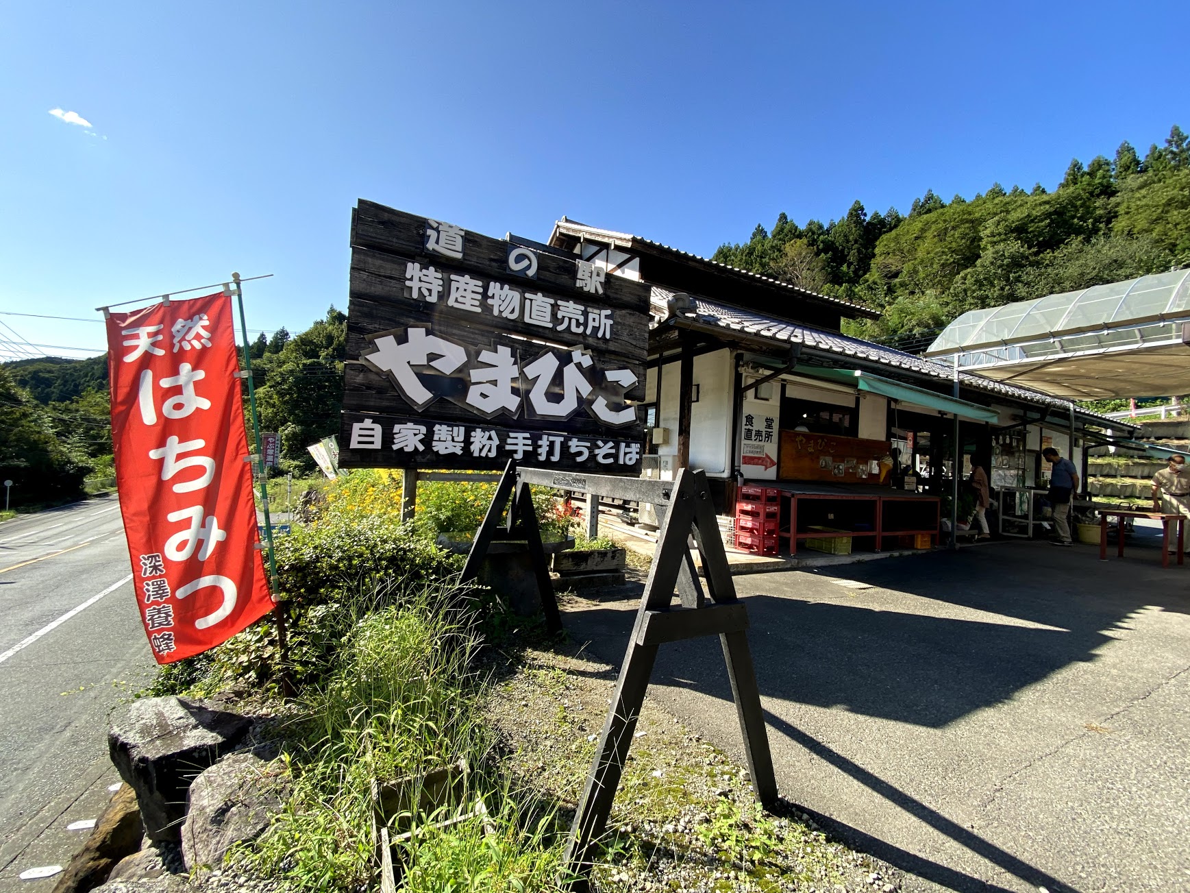
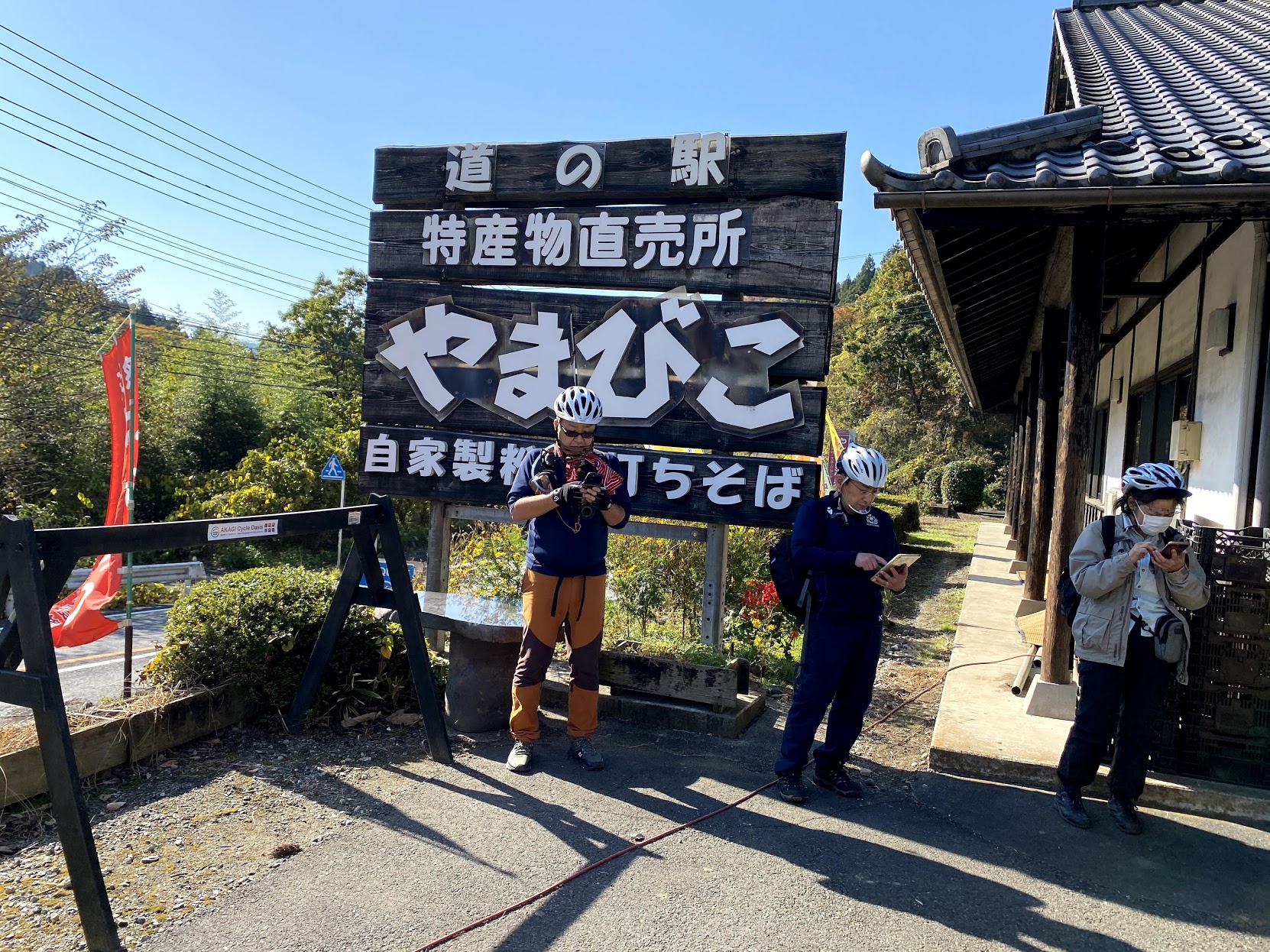
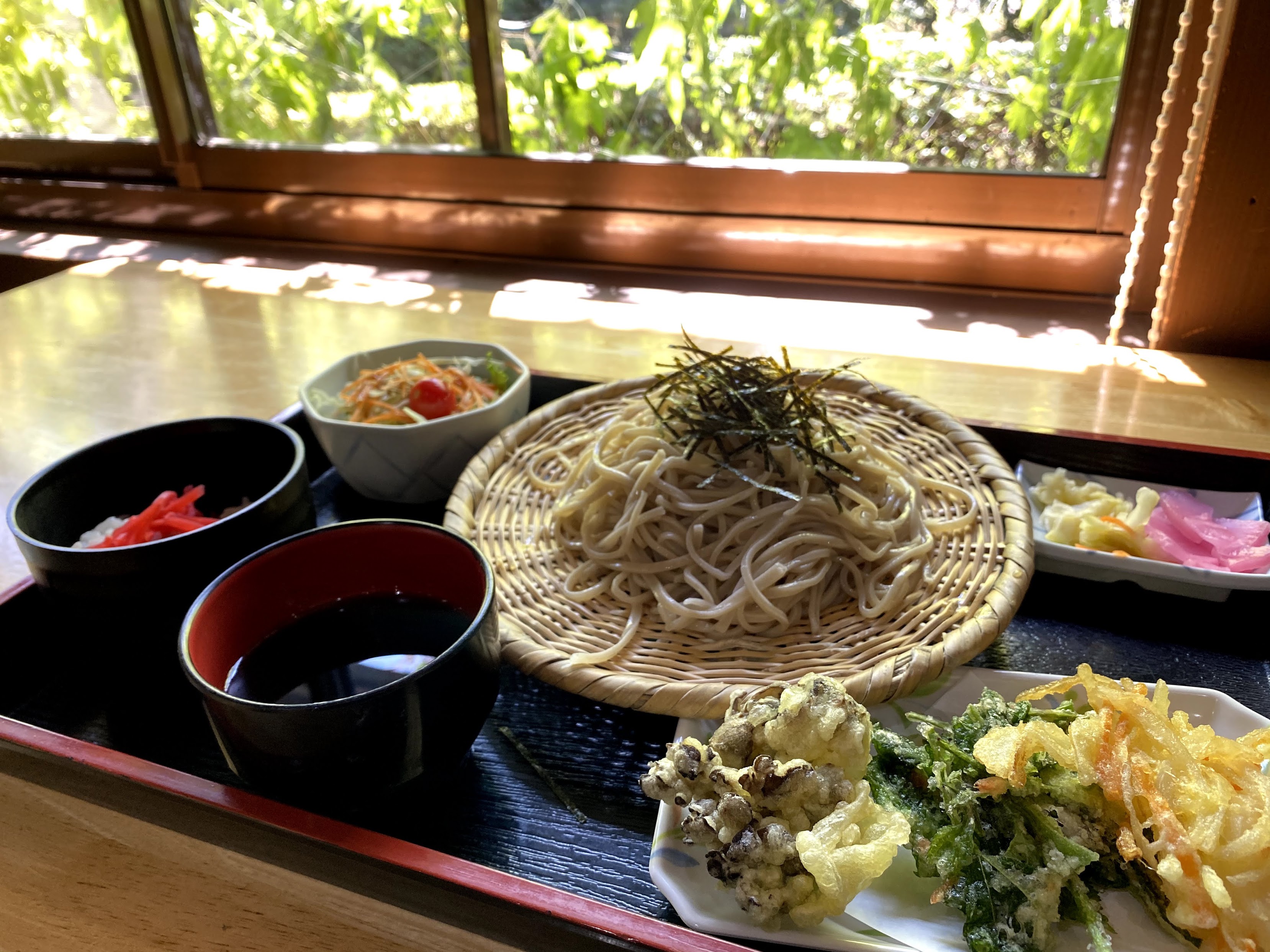
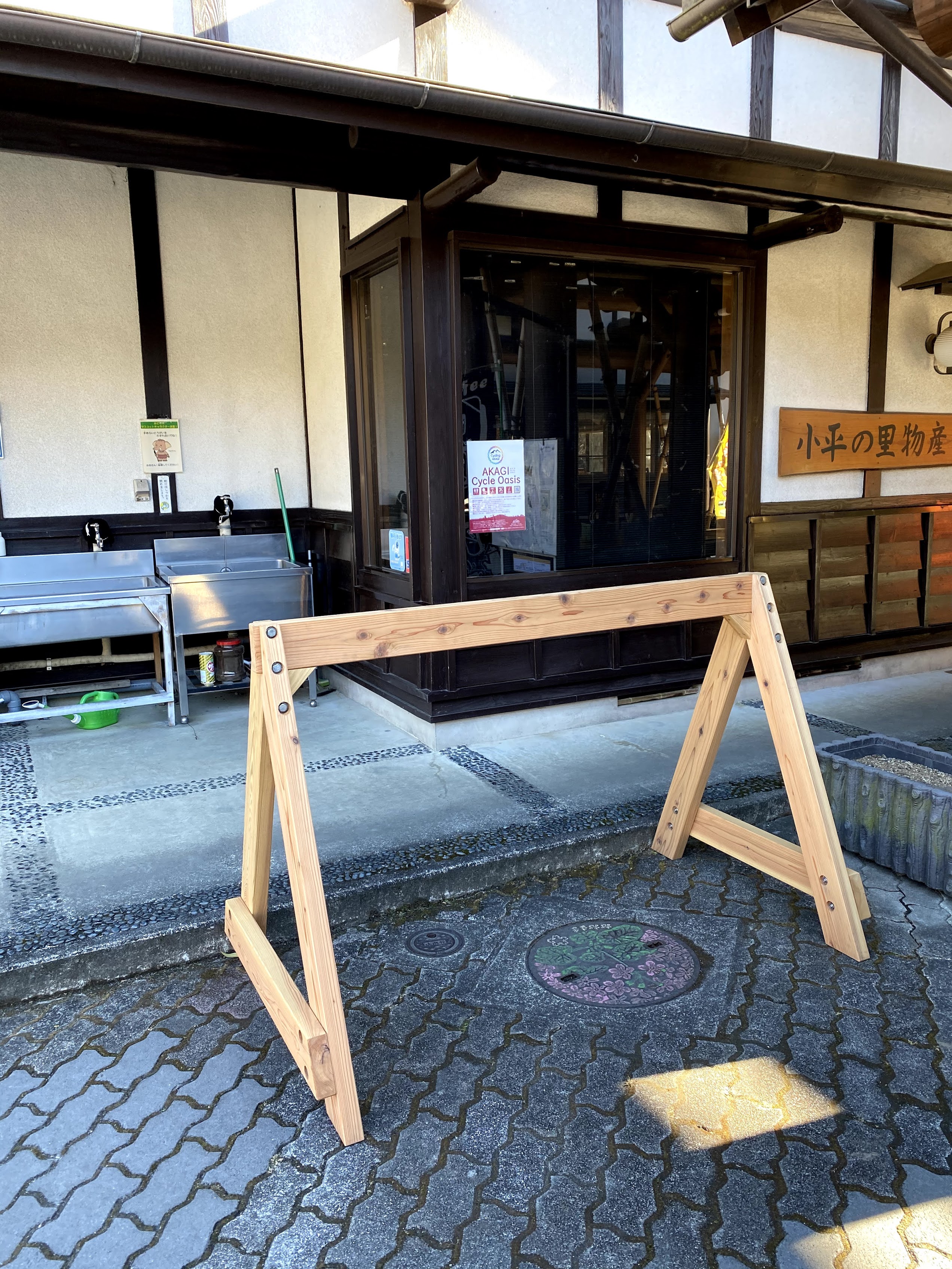
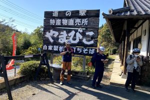
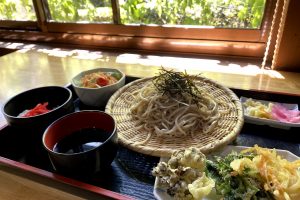
地域の農産物が集まる直売所と、赤城高原産の蕎麦を自家製粉した手打ちそばが人気の食堂があります。かわいいパッケージのご当地アイスもオススメ!
AKAGI Cycle Oasis(あかぎサイクルオアシス)
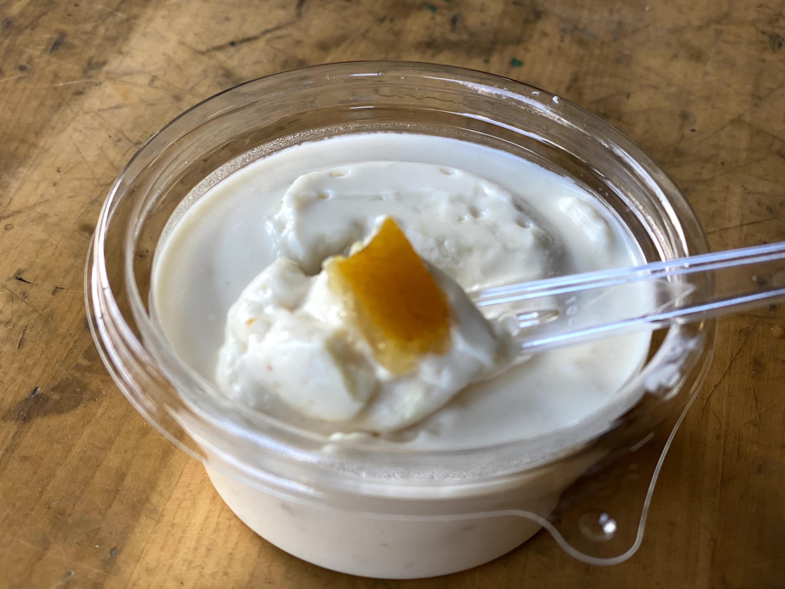
赤城原水を使ったこだわりの絶品豆腐店。チーズ豆腐や豆乳アイスはイートインコーナーでのちょこっと休みに最適。
AKAGI Cycle Oasis(あかぎサイクルオアシス)
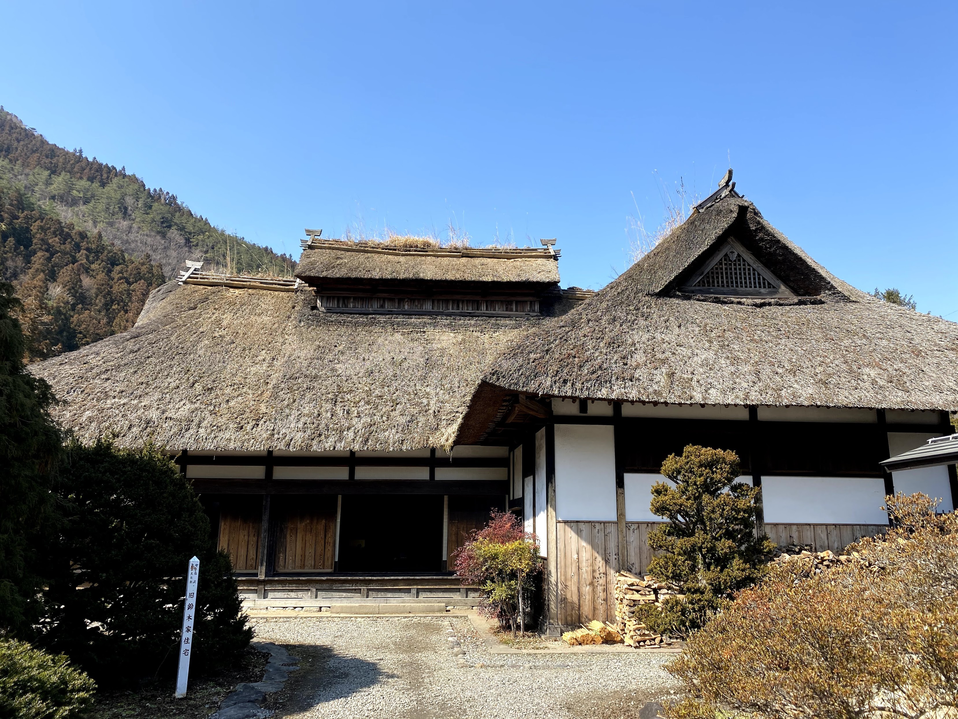
約240年前に建てられた茅葺屋根の曲屋。隣の温泉から引かれた足湯で少し休憩するのもオススメ!
AKAGI Cycle Oasis(あかぎサイクルオアシス)
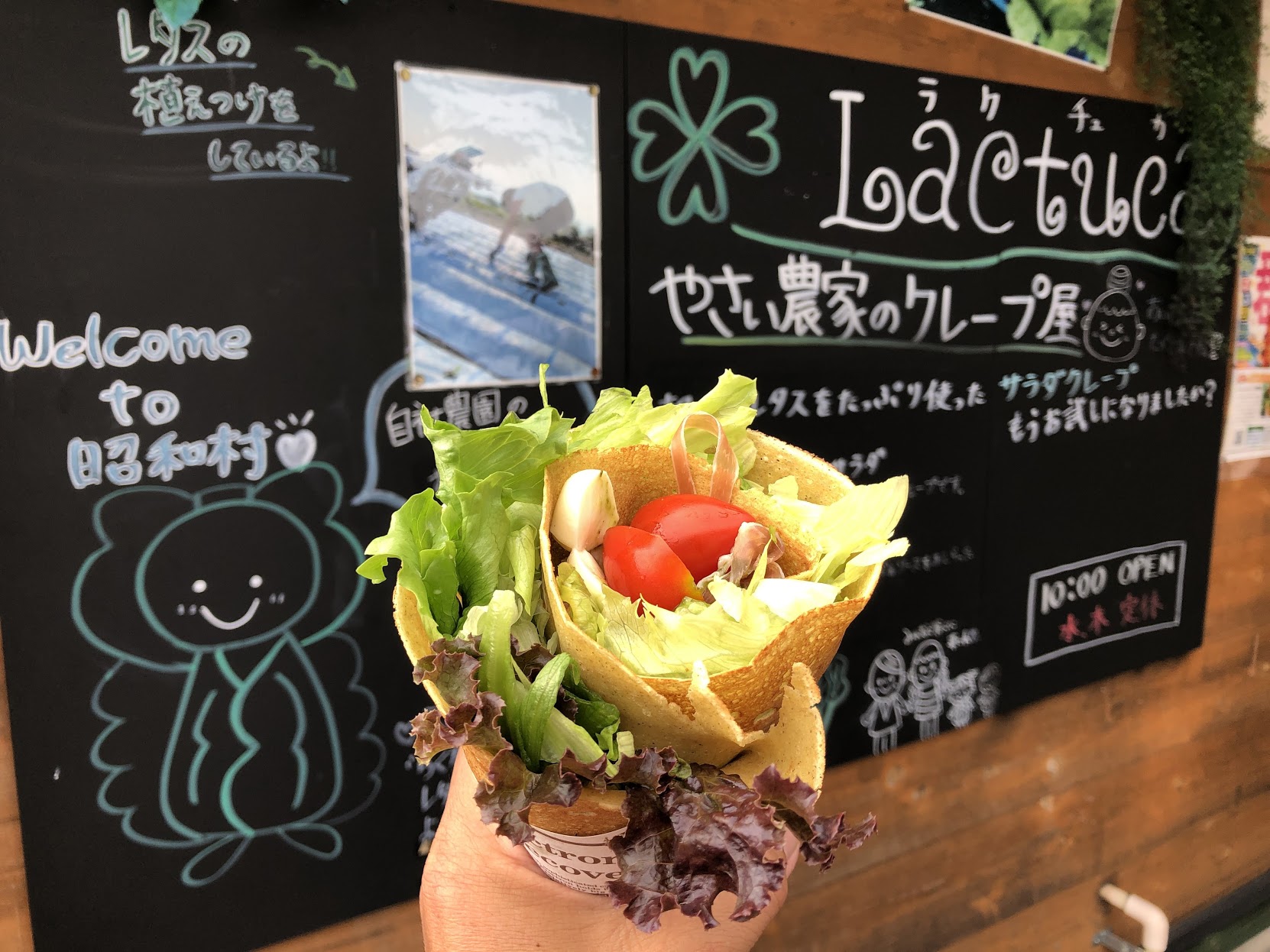
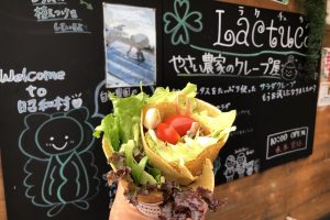
昭和村の新鮮野菜や農産物加工品が豊富な直売所。食事処や足湯などがあり蕎麦粉のクレープが人気!
AKAGI Cycle Oasis(あかぎサイクルオアシス)
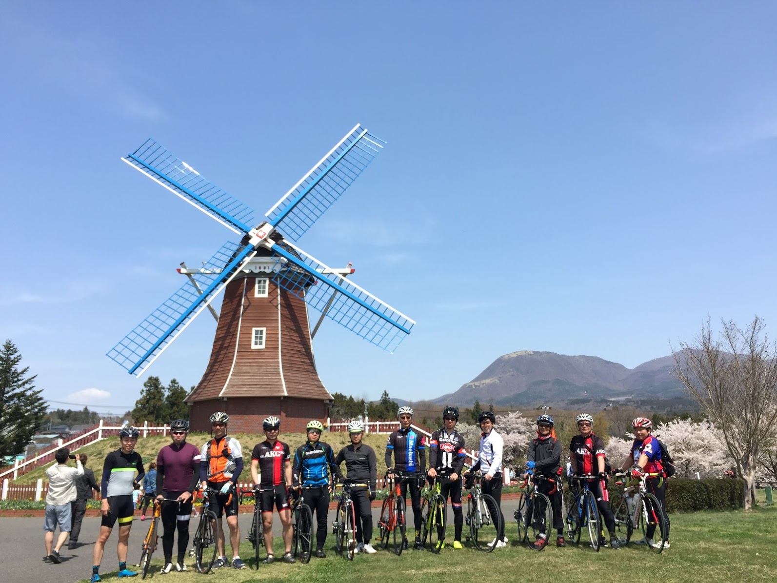
大きなオランダ型風車が特徴の道の駅。地元の新鮮野菜や季節ごとのソフトクリームが人気!
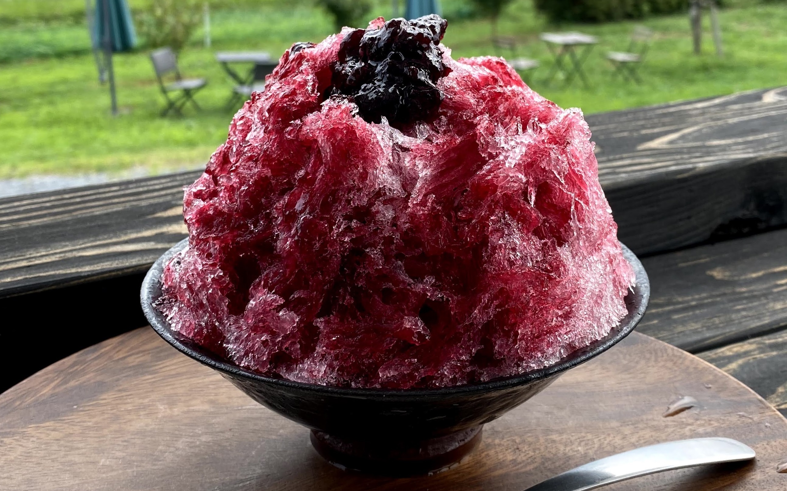
自家農園の有機栽培フルーツを使ったスイーツが人気のカフェ。
AKAGI Cycle Oasis(あかぎサイクルオアシス)
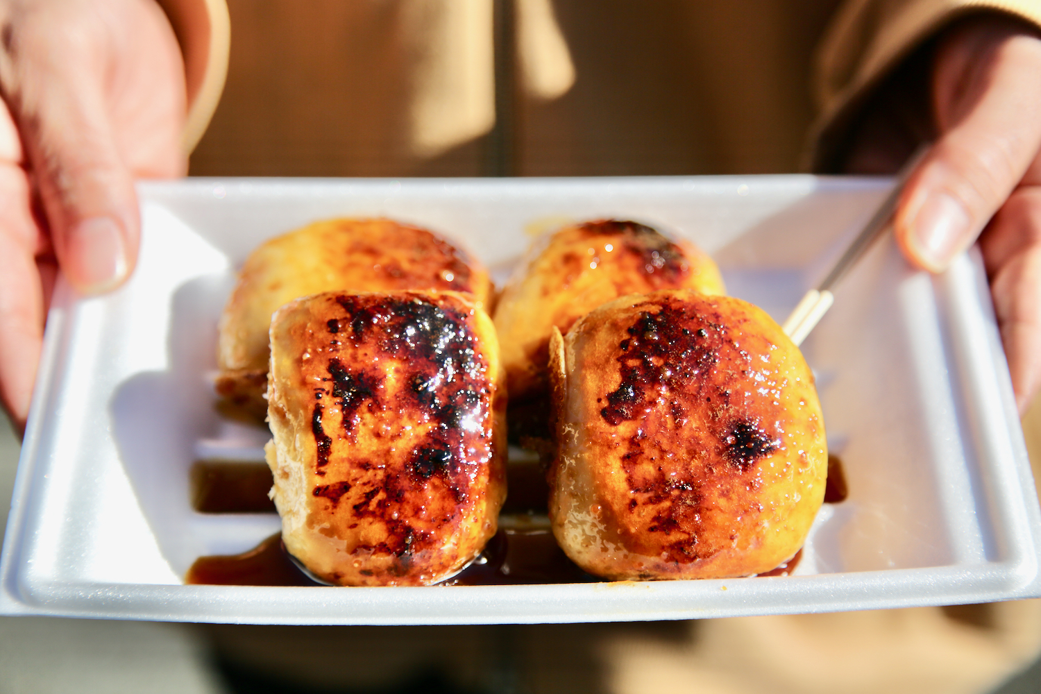
軽食が充実、焼きまんじゅうや、こしあん入りもちもち食感の風(ぷー)さんまんじゅうなどお好みで。
AKAGI Cycle Oasis(あかぎサイクルオアシス)
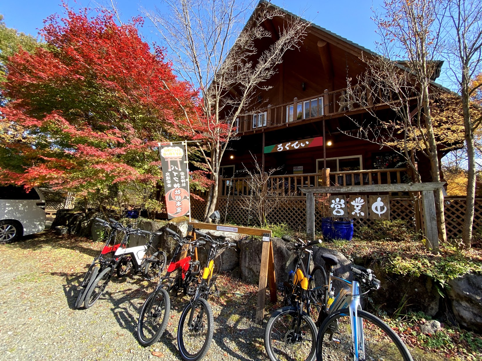
赤城山東麓のポツンと1軒屋のログハウス作りイタリアンレストラン。手作りパスタとピザ、珈琲が美味!
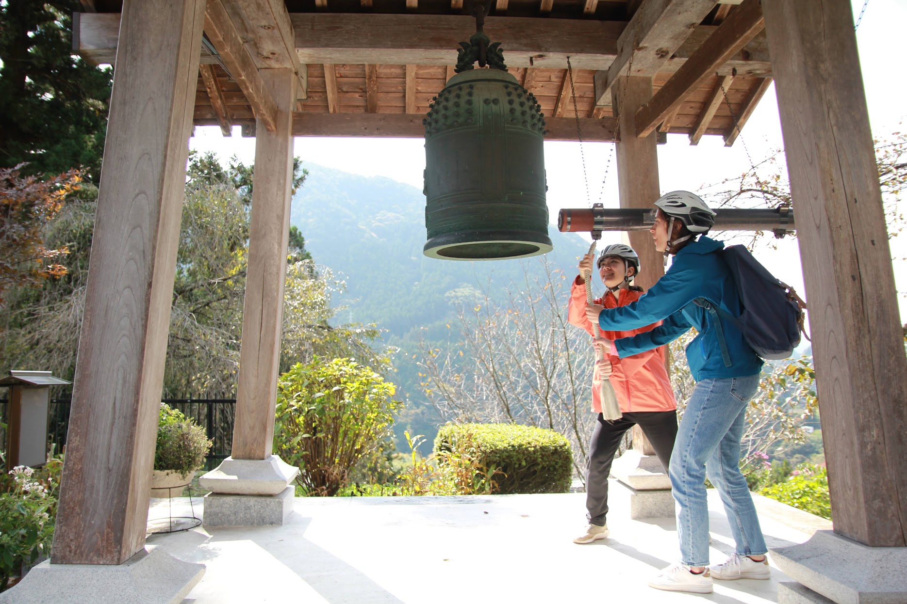
寛延元年(1748年)に鋳造され、美術的にも価値の高い梵鐘だが、住職の意向で誰でも好きな時間に撞くことができる。
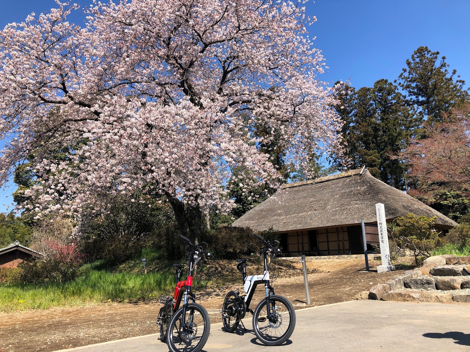
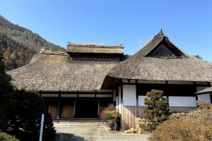
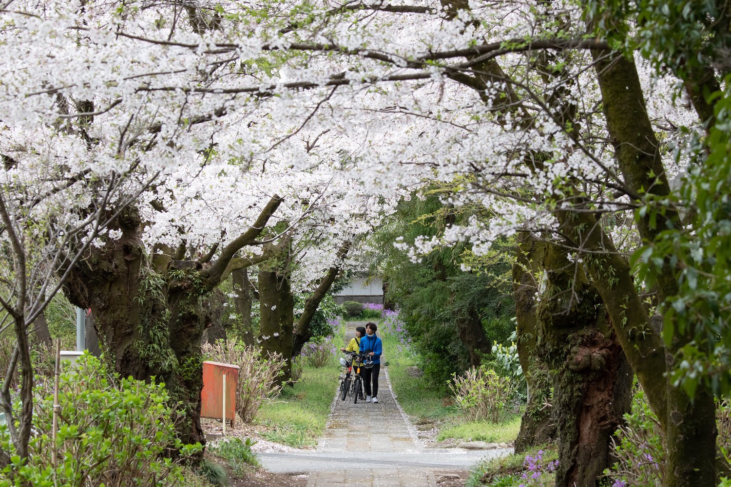
300年以上前に建てられた茅葺寄棟造りの古民家。国の重要文化財に指定されており、庭に咲く桜も見ごたえがある。
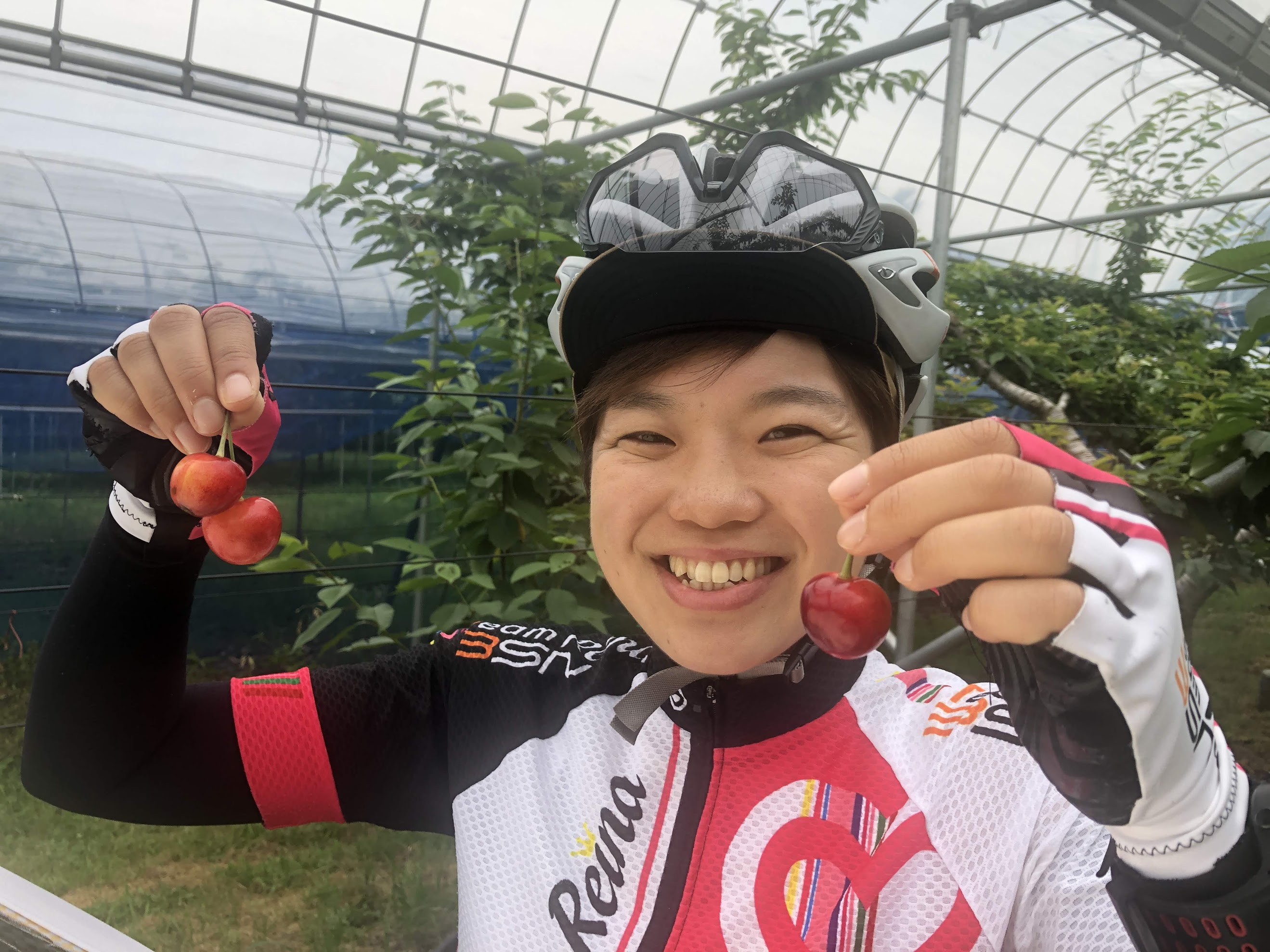
さくらんぼ、桃、ぶどうなどの果物狩りや直売。予約制のBBQも人気。
AKAGI Cycle Oasis(あかぎサイクルオアシス)
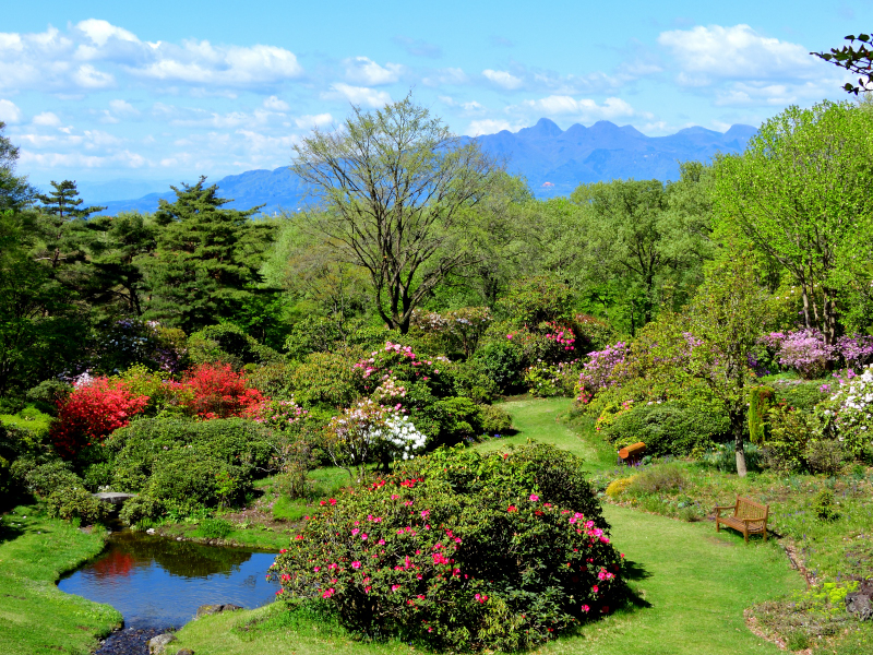
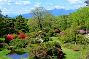
自然の花々や木々を身近に感じることが出来る、癒やし効果が科学的に実証された森林セラピー基地。
AKAGI Cycle Oasis(あかぎサイクルオアシス)
AKAGI Cycle Oasis(あかぎサイクルオアシス)
AKAGI Cycle Oasis(あかぎサイクルオアシス)
AKAGI Cycle Oasis(あかぎサイクルオアシス)
