


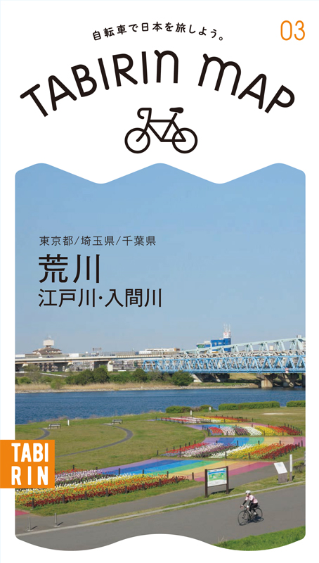
![]()
![]()
![]()
![]()
![]()
![]()
![]()
![]()


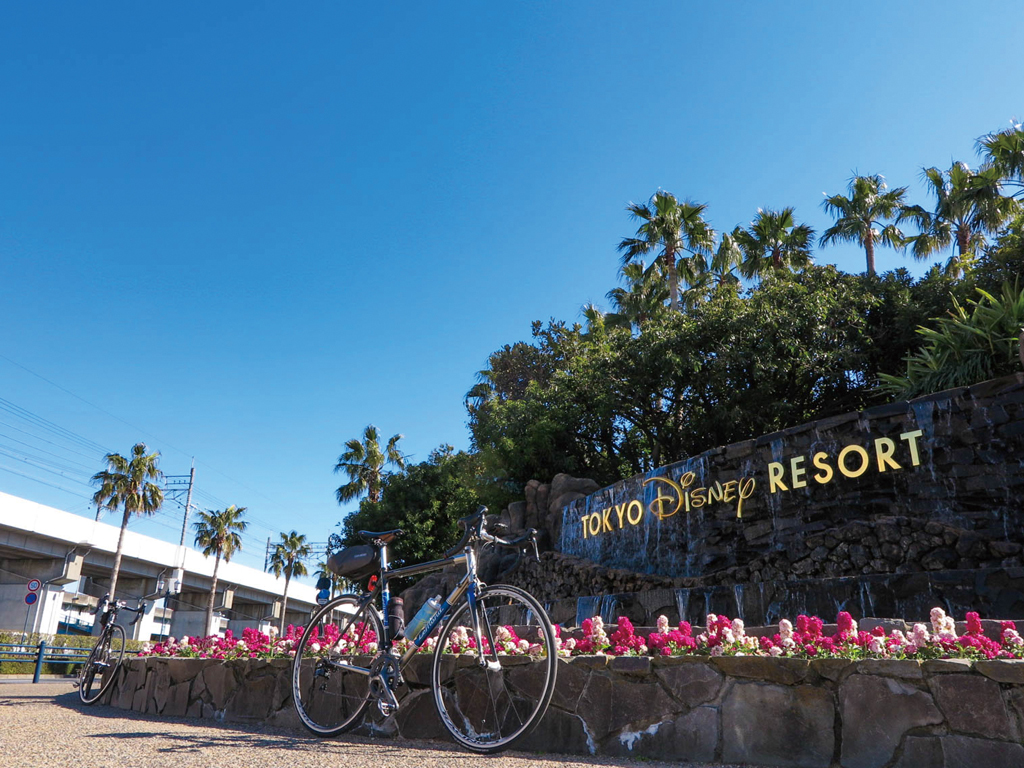
舞浜駅をスタートして関宿まで走る右岸ルート。舞浜大橋を渡り、旧江戸川沿いの道を北上する。江戸川水閘門を過ぎると江戸川に合流。江戸川に出ると道も広くなり走りやすくなる。右岸ルートには休憩所が数カ所ありトイレやドリンク補充が出来て安心だ。途中には柴又や水元公園など寄り道スポットも多い。常磐自動車道の下をくぐると、高い建物などがなくなり広々とした景色の中を気持ち良く走る事ができる。関宿城博物館の天守閣が見えてくると終点はもうすぐ! 左岸もほとんど自転車・歩行者道が整備されているが休憩ポイントは少ない。
The right bank route starts at Maihama Station and runs to Sekijuku. Cross the Maihama Bridge and head north on the road along the old Edogawa River. After passing the Edogawa Water Lock, it joins the Edogawa River. When you get out to the Edogawa River, the road becomes wider and easier to run. There are several rest stops on the right bank route, so you can use restrooms and refill drinks, so it's safe. There are also many detour spots along the way, such as Shibamata and Mizumoto Park. If you pass under the Joban Expressway, there are no tall buildings, etc., and you can drive comfortably through the spacious scenery. Once you see the castle tower of the Sekiyuku Castle Museum, the end point is right around the corner! The left bank is also mostly equipped with bicycle and pedestrian paths, but there are few rest spots.
関東平野を流れる川沿いには河川敷道路が整備されており、車や交差点がなく気持ち良く走れることからサイクリストに人気だ。コース近くには自転車歓迎のカフェや食事スポットが程良い間隔であるので、その日の気分で目的地を決めて走ることができる。
このマップではその中から荒川・江戸川・入間川の3ルートを紹介。荒川は右岸&左岸ともに距離が長く走り応えタップリ。江戸川は河口から利根川分岐点まで約60kmあり、道幅が広めで走りやすい。入間川は距離が短めで初心者から気軽に楽しめる。
※上流から下流に向かって眺めたときに右側を右岸、左側が左岸となる
※オンラインの地図上でサイクリングルートが閲覧できるウェブサイト「ルートラボ」が2020年3月末でサービス終了したため、「bikemap」に変更したことで、bikemap内の距離や高低差に誤差が生じている場合がありますが、ご理解ご了承の程、よろしくお願いします。
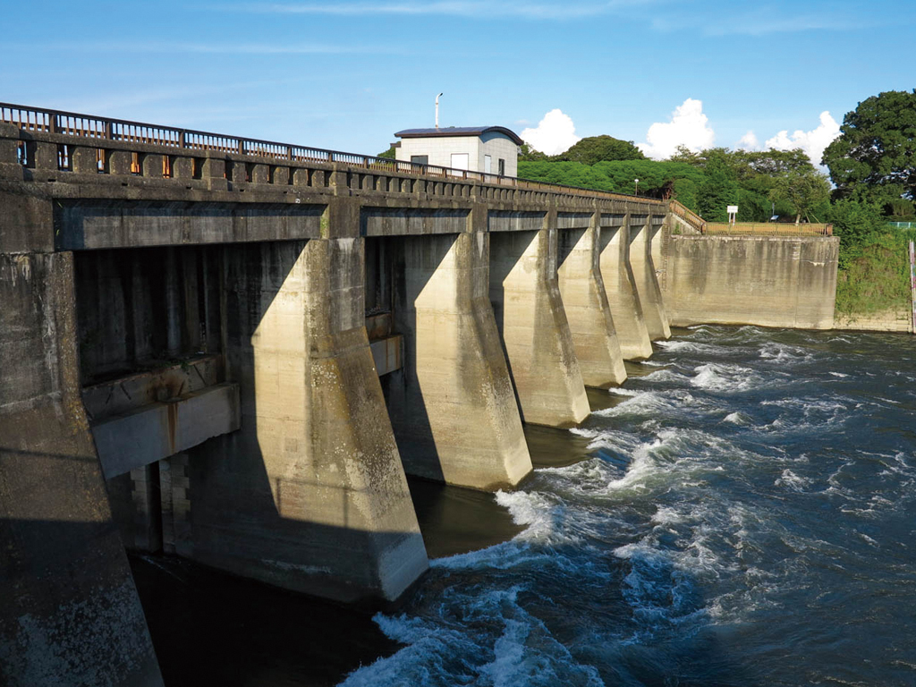
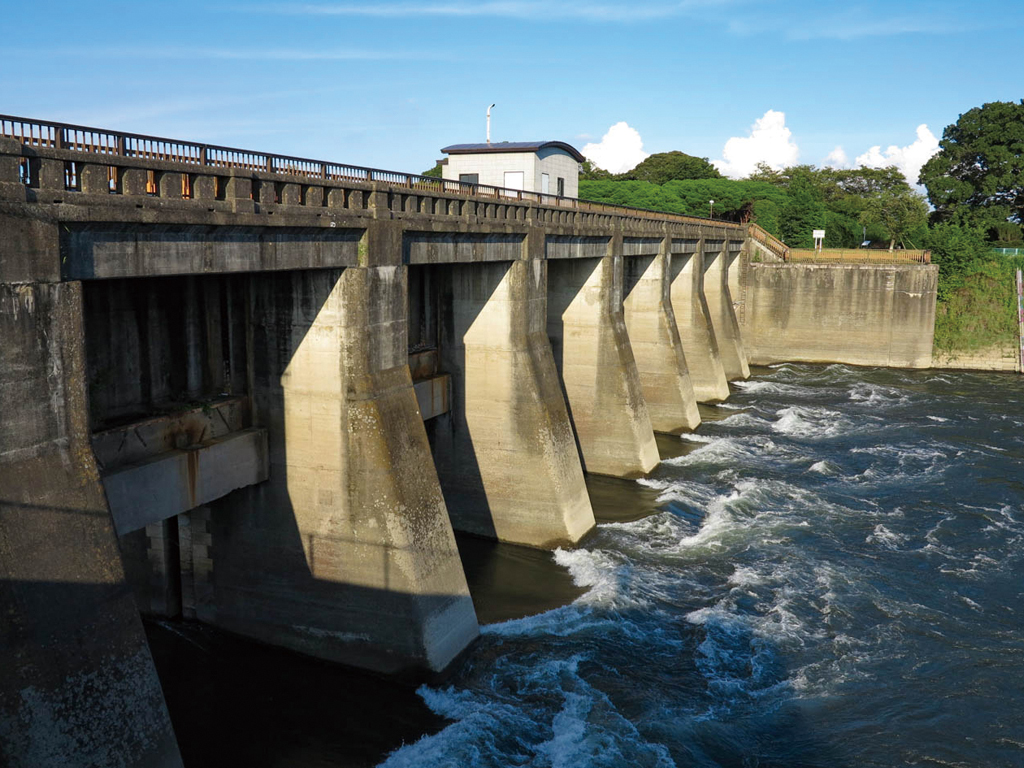
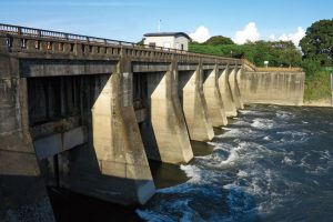
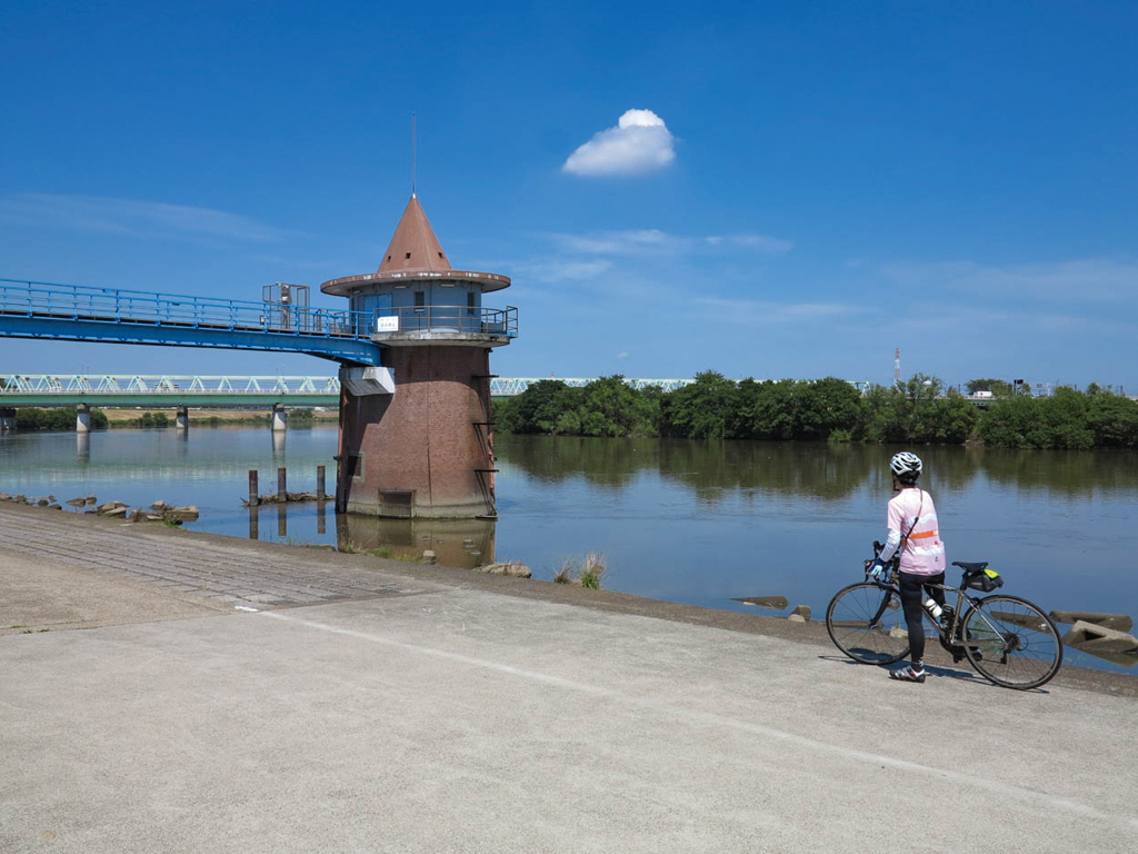
利根川から江戸川に流れる水量を調節することと、船を安全に通すために建設され、昭和2年に完成した。上部を渡ることが出来る。推奨土木遺産に認定されている

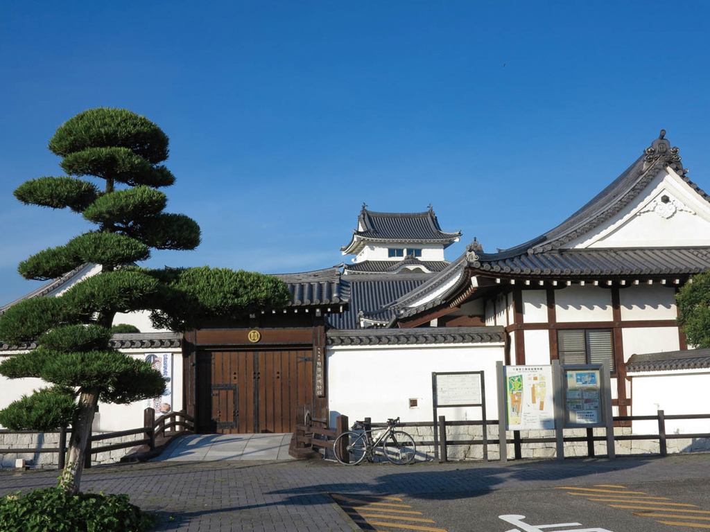
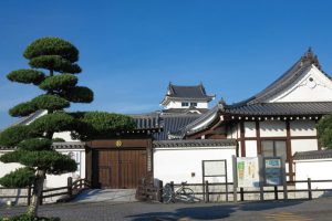
旧関宿町や関宿城にまつわる資料が展示してある博物館。天守閣部分は、資料
に基づき関宿城を再現させたもの
開館時間:9時~16時半
休館日:月曜日(祝日の場合は翌日)年末
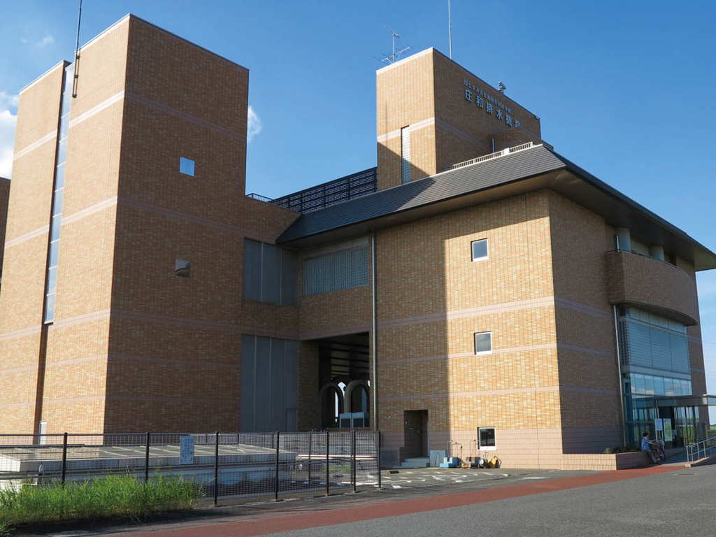
埼玉県東部地域の浸水被害を軽減させることを目的に建設された。神殿の様な地下の雰囲気が人気の首都圏外郭放水路見学会は予約制となっている
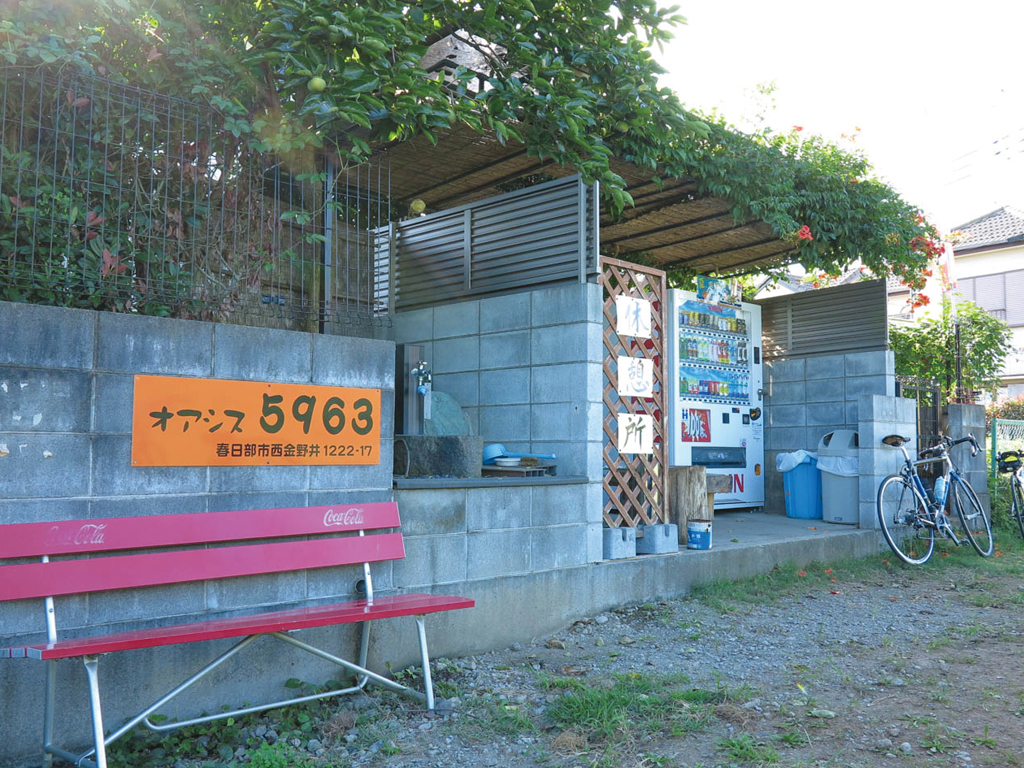
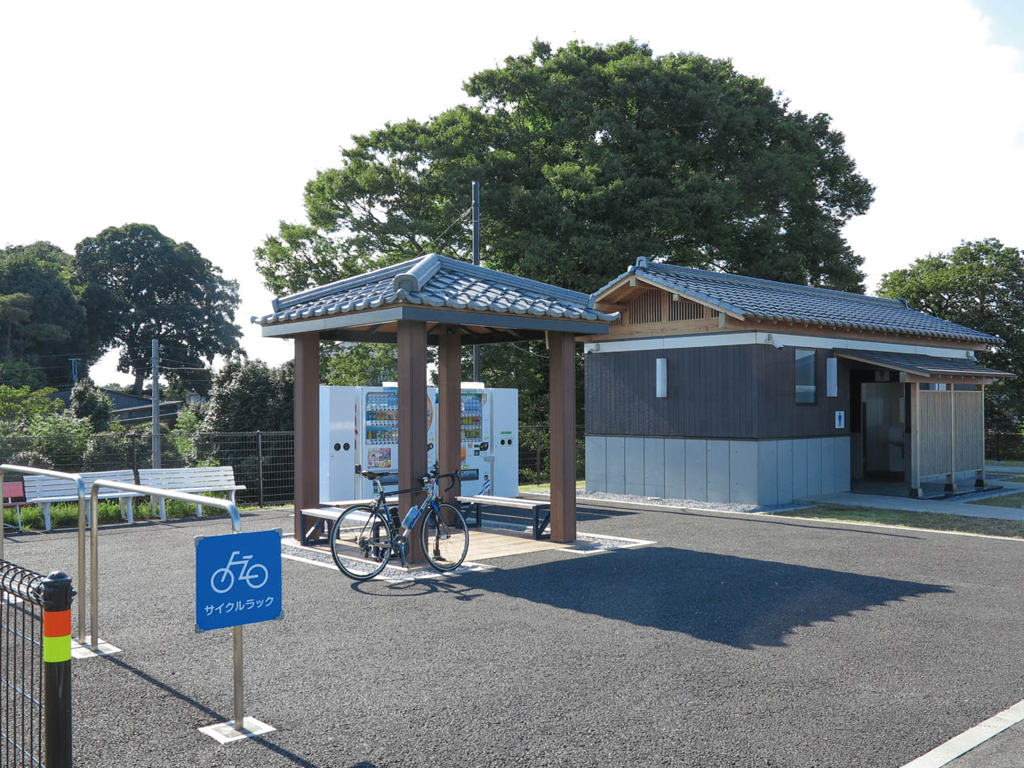
近所の人が管理している休憩所。自動販売機とベンチがあり、隣の水道で顔を洗ってもOKとか。手作り感があり落ち着く。自販機のドリンクが安いのも嬉しい
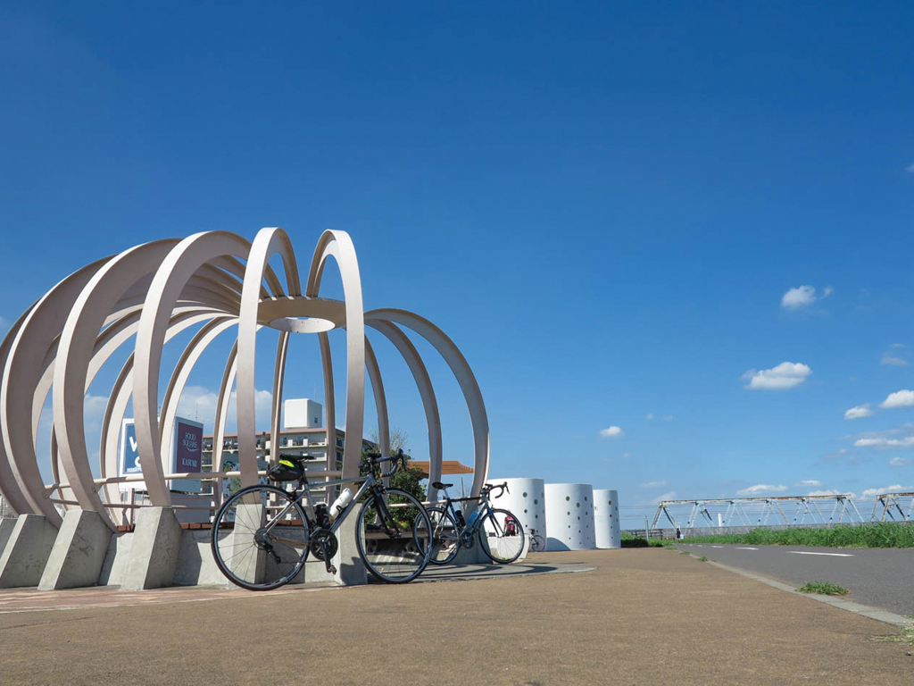
モニュメントが印象的な休憩所。ベンチやトイレ、水道などあり、多くのサイクリストが立ち寄るフォトスポット。カボチャや玉ねぎと呼ばれるモニュメントだが、実際は特定のモデルはなく、休憩所全体をを曲線でデザインしたものから出来た形だそう…
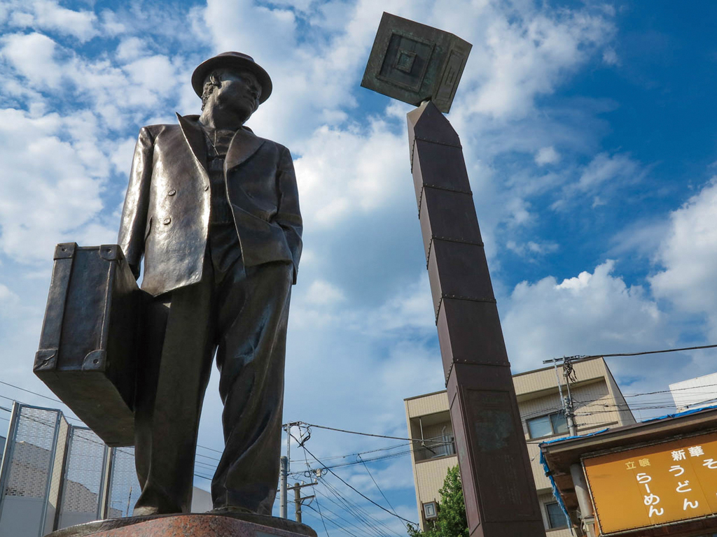
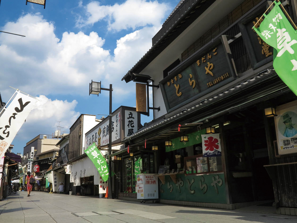
柴又駅の目の前には映画「男はつらいよ」で有名な寅さんの像があり観光客に人気。寅さんが見つめる視線の先には妹のさくら像があり、旅立つ寅さんを見送っている
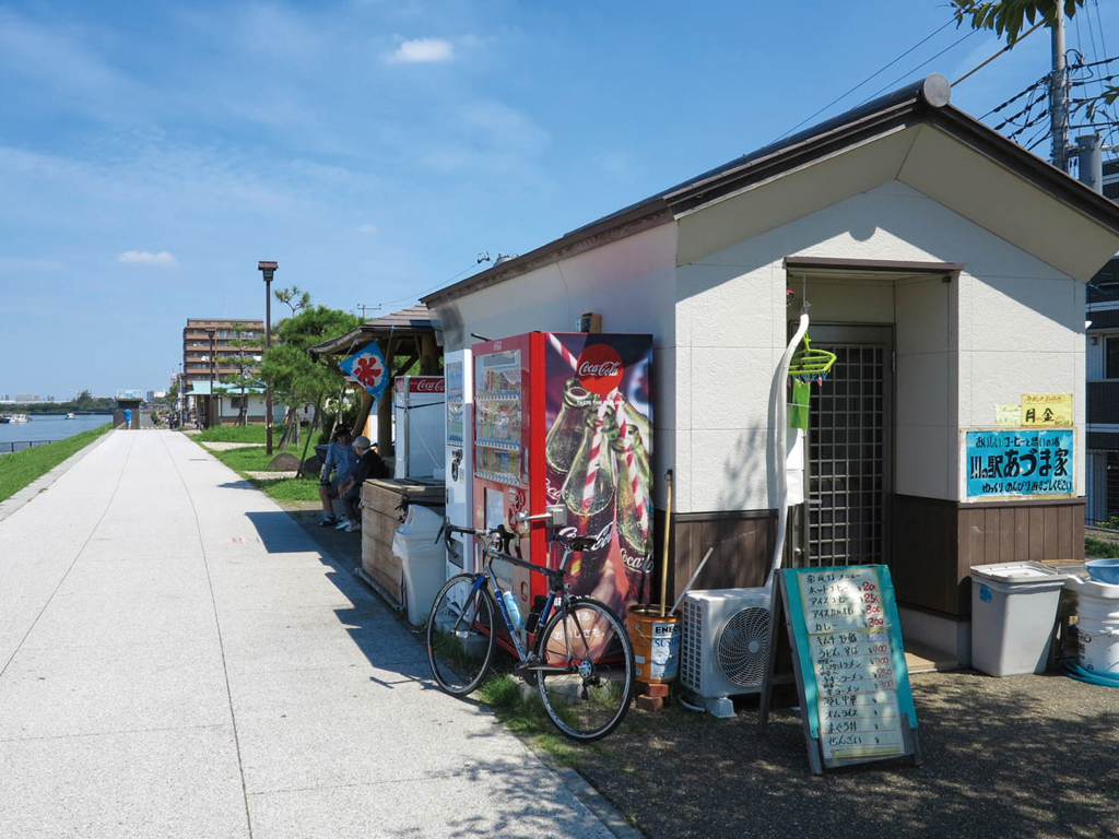
旧江戸川の左岸にある休憩所。カレーやうどんなど安くて美味しいと人気だ。夏にはかき氷など季節のメニューも楽しめる
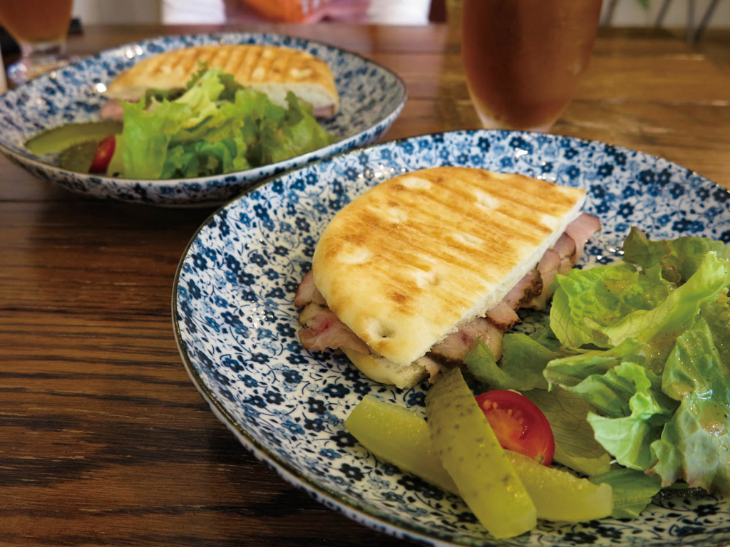
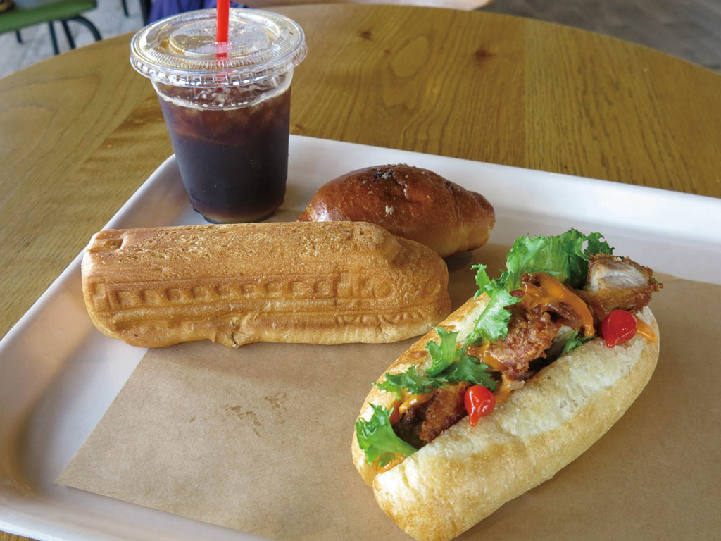
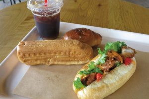
水元公園の脇にあるお洒落なカフェ。店内には自転車関連の本やアイテムが飾られており、サイクリストを歓迎してくれる。カレーとハンドドリップ珈琲が人気。パニーニもカリカリもっちりの食感で美味しい。
手作りのスイーツなどもあり
ハムと生ハムとチーズの半月パニーニ(550円)
ローストポークとチーズの半月パニーニ(550円)
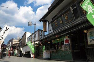
昔ながらのせんべいを作り販売している。
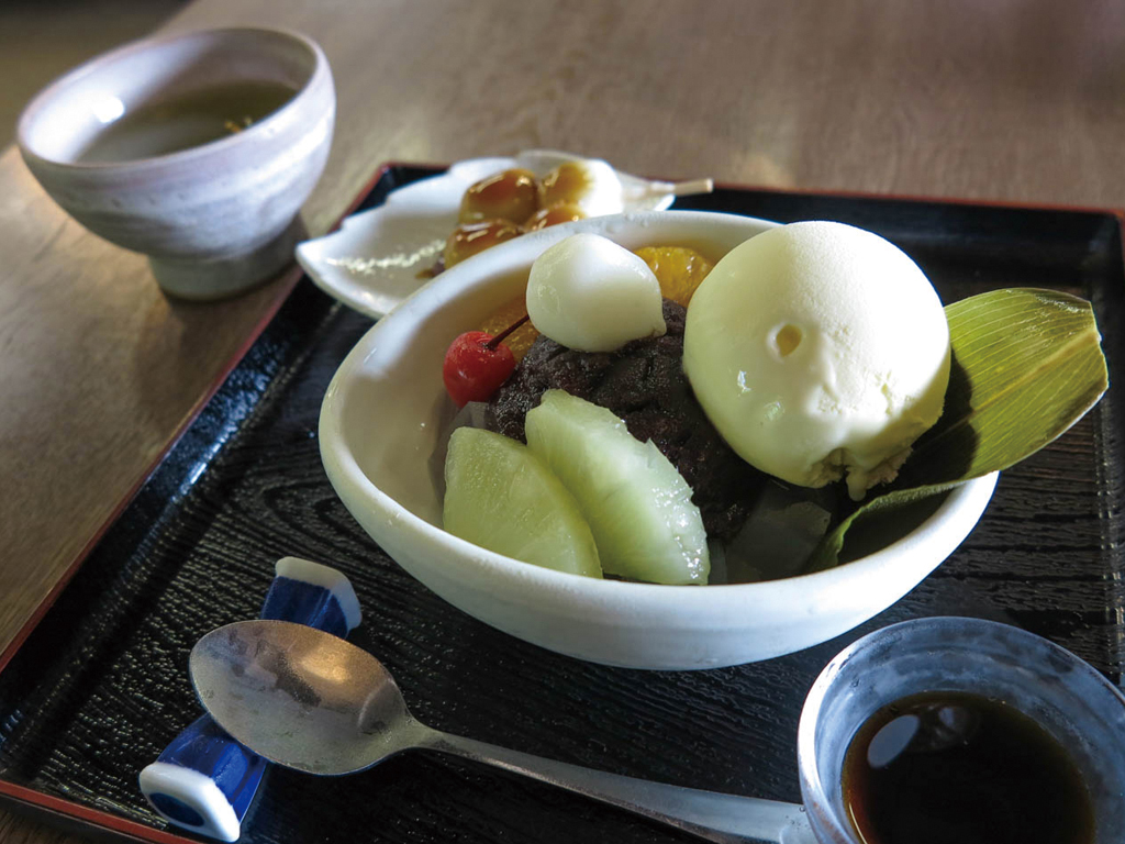
お休み処では、焼き立て煎餅や煎餅になる上新粉で作られる手造りみたらし団子、あんみつをいただける。季節によりメニューもかわり、夏はかき氷、冬には手造りおしるこが人気
クリームあんみつ540円みたらし団子173円

パンの種類が豊富で味はもちろん陳列の美しさにもこだわっているとか。2Fにはカフェ席があり、カフェ限定メニューもあるのでチェックしよう!
