


![]()
![]()
![]()
![]()
![]()
![]()
![]()
![]()


ビギナーからベテランまで大人気!
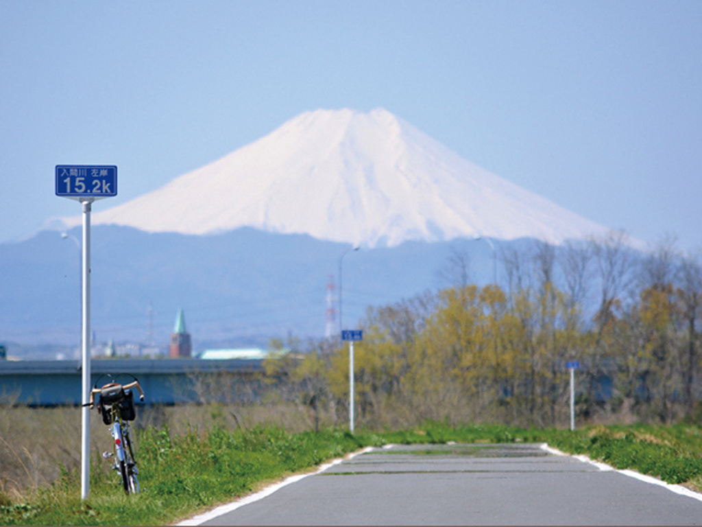
荒川右岸ルートの途中にある入間大橋から分岐して、入間川沿いを走るルート。今回の3ルートの中でも1番短く楽ちんルートといえる。前半は広く直線的なルートだが、中間地点の初雁橋で対岸に渡ると道幅が細くクネクネと曲がるポイントが増えるのでスピードの出し過ぎには注意。短いルートの中にも、近くに総合卸売市場があったり公園があったりとバリエーション豊富。ゴール地点の豊水橋の少し先にあるジョンソンタウンは、米国ハウス群を利用したアメリカの雰囲気漂うエリアで、カフェやレストランが多いので足を延ばして訪れても良いだろう
Very popular among beginners and veterans alike!
A route that branches off from Iruma Bridge in the middle of the Arakawa Right Bank Route and runs along the Iruma River. It can be said that it is the shortest and easiest route out of the 3 routes this time. The first half is a wide and straight route, but if you cross the opposite bank at the halfway point, the road is narrow and the number of points where it bends sharply increases, so be careful not to speed up too much. Even within the short route, there are plenty of variations, such as a general wholesale market and a park nearby. Johnson Town, which is a little beyond Hosui Bridge, the goal point, is an area with an American atmosphere using American houses, and there are many cafes and restaurants, so it's a good idea to go and visit
関東平野を流れる川沿いには河川敷道路が整備されており、車や交差点がなく気持ち良く走れることからサイクリストに人気だ。コース近くには自転車歓迎のカフェや食事スポットが程良い間隔であるので、その日の気分で目的地を決めて走ることができる。
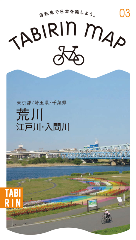
このマップではその中から荒川・江戸川・入間川の3ルートを紹介。荒川は右岸&左岸ともに距離が長く走り応えタップリ。江戸川は河口から利根川分岐点まで約60kmあり、道幅が広めで走りやすい。入間川は距離が短めで初心者から気軽に楽しめる。
※上流から下流に向かって眺めたときに右側を右岸、左側が左岸となる
※オンラインの地図上でサイクリングルートが閲覧できるウェブサイト「ルートラボ」が2020年3月末でサービス終了したため、「bikemap」に変更したことで、bikemap内の距離や高低差に誤差が生じている場合がありますが、ご理解ご了承の程、よろしくお願いします。

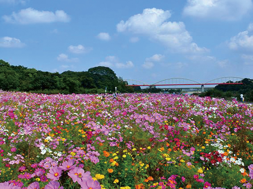
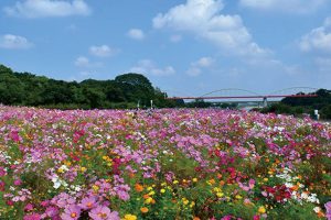
ちょうどルートの中間地点で、広々とした芝生が広がる公園。水道管とアーチで構成された入間川水管橋を眺めながら休憩するのには最高のポイントだ
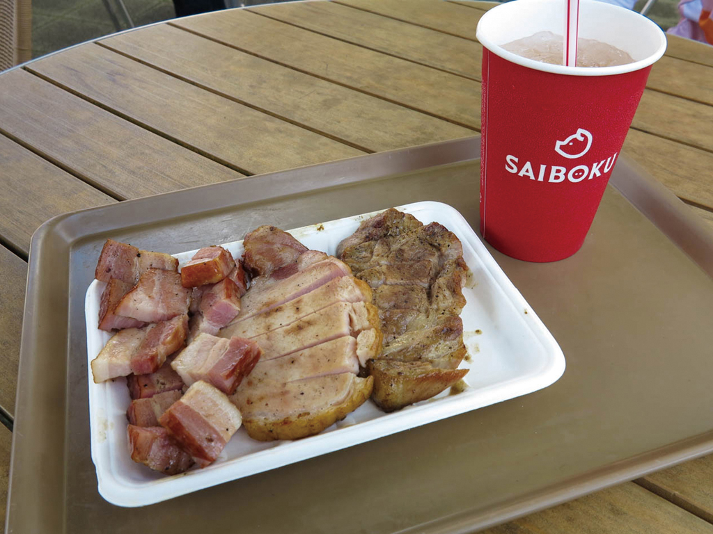
自社の牧場産のブランド豚のグルメを味わえ、買い物や温泉も楽しめる施設。キッチンでは焼き立てのスペアリブやソーセージが人気
もりもりセット(トンテキ・ベーコン・ソーセージステーキ)1019円
(※メニュー・価格は変更になることがあります)
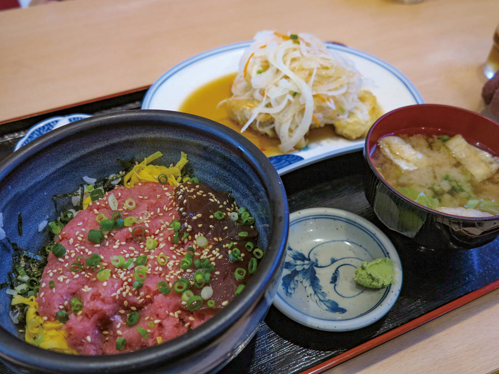
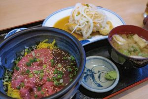
川越総合卸市場の敷地内にあるお店。人気の「わがまま丼」から、その日オススメの定食など新鮮な魚や肉のメニューが豊富!
まぐろたたき丼とフリッター1050円

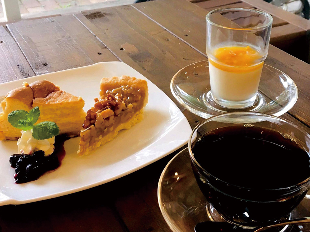
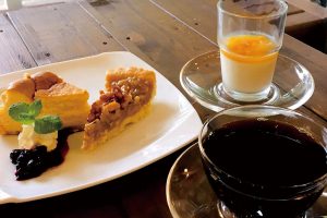
ジョンソンタウン内にあるカフェ。焙煎にこだわった珈琲を楽しめる。イラストが可愛らしいドリップ式珈琲もお土産に最適
自家焙煎コーヒーの他、各種スイーツやドリンクあり
毎年11月に行われる航空自衛隊入間基地の入間航空祭は、入場者数が12万5千人(2019年)も訪れる人気のイベントだ。基地内で見物するのも良いが、入間川の昭代橋付近の土手から見ると迫力満点、毎年多くのサイクリストも見物に訪れる。自転車だと渋滞もなくオススメ!
