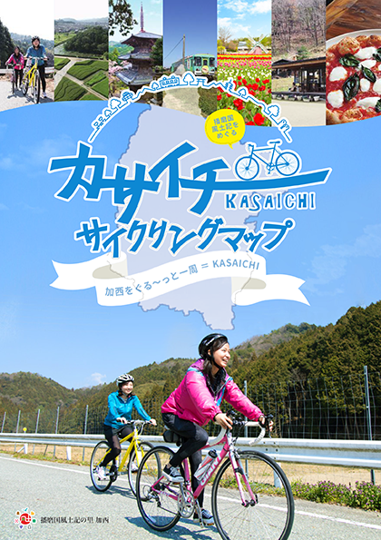
コース・マップ検索
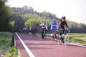
播磨中央自転車道コース
距離 Distance:
35.3km
獲得標高 上り Elevation Gain (Up):
193m
獲得標高 下り Elevation Gain (Down):
201m
最大標高差 Maximum elevation difference:
95m
播磨国風土記ゆかりの地を満喫!播磨中央自転車道を走ろう
播磨中央自転車道から加西の東部を巡るコース。
Enjoy places related to the Harima Province Fudoki! Let's run on the Harima Central Bicycle Path A course that goes around the eastern part of Kasai from the Harima Central Bicycle Path . In the first half, I enjoyed the well-maintained Harima Central Bicycle Path, and in the second half, I drove on a flat road. This course is perfect for intermediate level students and touring with friends. Along the way, there are places related to Fudoki, such as Mt. Iimori, and you can enjoy a long tour from the Kakogawa Right Bank bicycle path to Kakogawa/Takasago.
コース掲載マップ カサイチサイクリングマップ
オススメスポット ビュースポット いきもの・植物 グルメ ショッピング 道の駅 温泉 宿泊 病院 レンタサイクル 自転車販売店 サイクリングサポート トイレ その他
※オンラインの地図上でサイクリングルートが閲覧できるウェブサイト「ルートラボ」が2020年3月末でサービス終了したため、「bikemap」に変更したことで、bikemap内の距離や高低差に誤差が生じている場合がありますが、ご理解ご了承の程、よろしくお願いします。
コース周辺スポット
全て
オススメスポット
ビュースポット
いきもの・植物
グルメ
ショッピング
宿泊
レンタサイクル
自転車販売店
トイレ
その他
で絞り込む
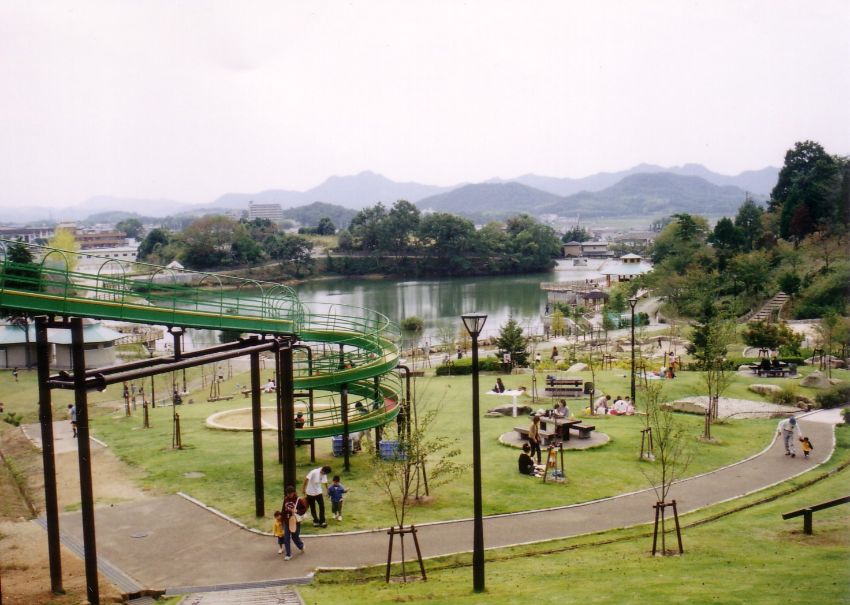
播磨中央自転車道
全長13.6km。2014年に完成した加西市中南部を横断する自転車道。
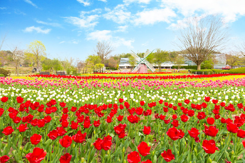
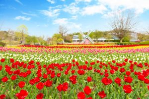
兵庫県立フラワーセンター
住所:兵庫県加西市豊倉町飯森1282-1
TEL:0790-47-1182
営業時間:
9:00~17:00(入園は16:00まで)
定休日:
水曜日(水曜日が祝日の場合は翌日)、年末年始(12/28~1/1)※但し、チューリップまつり、菊花展開催期間中は無休
料金:一般(大人) 500円 / 70歳以上 250円 /高校生以下は無料
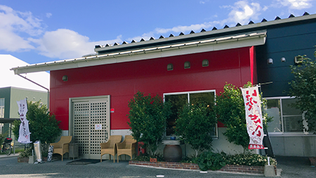
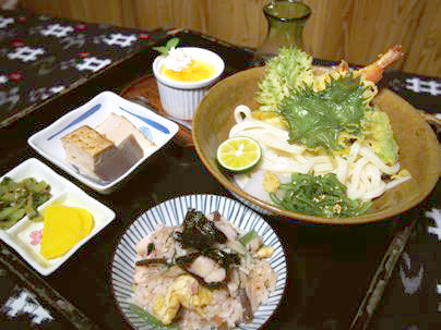
がいな製麺所
住所:兵庫県加西市和泉町25-2
TEL:0790-45-0848
パン処 森庵
住所:兵庫県加西市別府町甲1797-3
TEL:0790-47-1621
営業時間:
8:00~18:00
定休日:
木曜日、毎月1日・21日
さたに食道
住所:兵庫県加西市佐谷町209
TEL:0790-44-1571
営業時間:
毎週火・水・木、毎月第1・第3土・日曜の 8:30~(L.O. 12:00)
定休日:
上記営業日以外
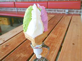
イタリアンジェラートの店 パスコロ
住所:兵庫県加西市国正町1931
TEL:0790-45-2060
営業時間:
11:00~18:00
定休日:
水曜日(祝日の場合は営業、翌日休業)
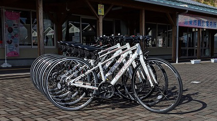
滝野にぎわいプラザ
住所:兵庫県加東市河高4028
TEL:0795-48-0995
営業時間:
9:00〜17:00(レンタサイクルは 8:30~16:30)
定休日:
水曜日
いっぷくせんべい半月庵
住所:兵庫県加西市常吉町647-9
TEL:0790-47-1881
営業時間:
9:00~18:00(冬季12月~2月と日・祝祭日は9:00~17:00)
定休日:
年末年始
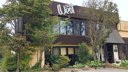
Cafe&diner West(喫茶ウエスト)
住所:兵庫県加西市桑原田町158-1
TEL:0790-49-0639
営業時間:
7:00~21:00(L.O. 20:30)
定休日:
月曜日
りんごの香
住所:兵庫県加西市桑原田町543-2
TEL:0790-49-1958
営業時間:
10:00~売り切れ次第終了
定休日:
日・月・木曜日
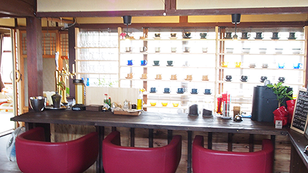
CODATE 293cafe(コダテ ニーキューサンカフェ)
住所:兵庫県加西市倉谷町293
TEL:0790-20-1171
営業時間:
11:00〜17:00(L.O.16:00)
定休日:
水曜日
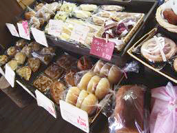
ちかちゃんぱん
住所:兵庫県加西市倉谷町310
TEL:090-2016-9387
営業時間:
10:00~17:00 ※売り切れ次第閉店
定休日:
火・水曜日
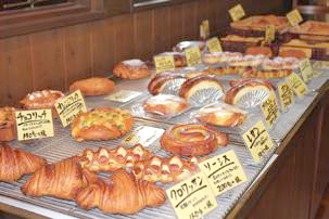
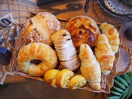
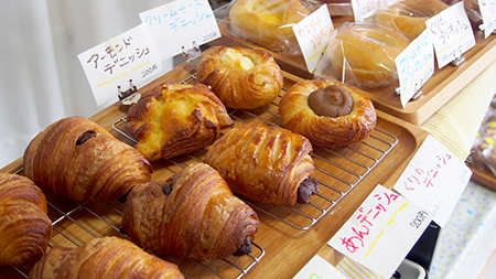
法華口駅 / 駅舎工房 Mon Favori
北条鉄道の法華口駅は、パン屋さんと駅が合体したユニークな駅。「駅舎工房 Mon Favori」には20種類ほどのできたてパンがズラリ。加西市産の米粉と地域食材をふんだんに使った、こだわりのパン目当てのお客さんが、10時のオープン前から行列をつくる。※自転車レンタルあり
住所:兵庫県加西市東笠原町240-5 法華口駅構内
TEL:0790-20-7368
営業時間:
10:00~16:00
定休日:
月曜日(祝日の際は翌火曜日)、金曜日※臨時休業あり、要確認
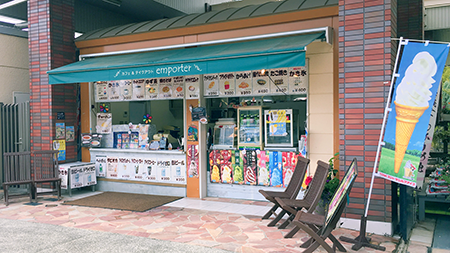
アンポルテ
住所:加西市豊倉町飯森1282-1 (兵庫県立フラワーセンター)
TEL:0790-47-1182
営業時間:
10:00~17:00
定休日:
水曜日(加えて不定休あり)
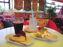
Cafe dandan
住所:兵庫県加西市段下町171-3
TEL:0790-48-8801
営業時間:
8:00~15:00
定休日:
月 (※不定休 )
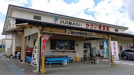
かさい愛菜館「おにぎり工房」
住所:兵庫県加西市豊倉町1261-81(かさい愛菜館敷地内)
TEL:080-6163-6049 ※予約承ります
営業時間:
10:00~15:00
定休日:
火曜日
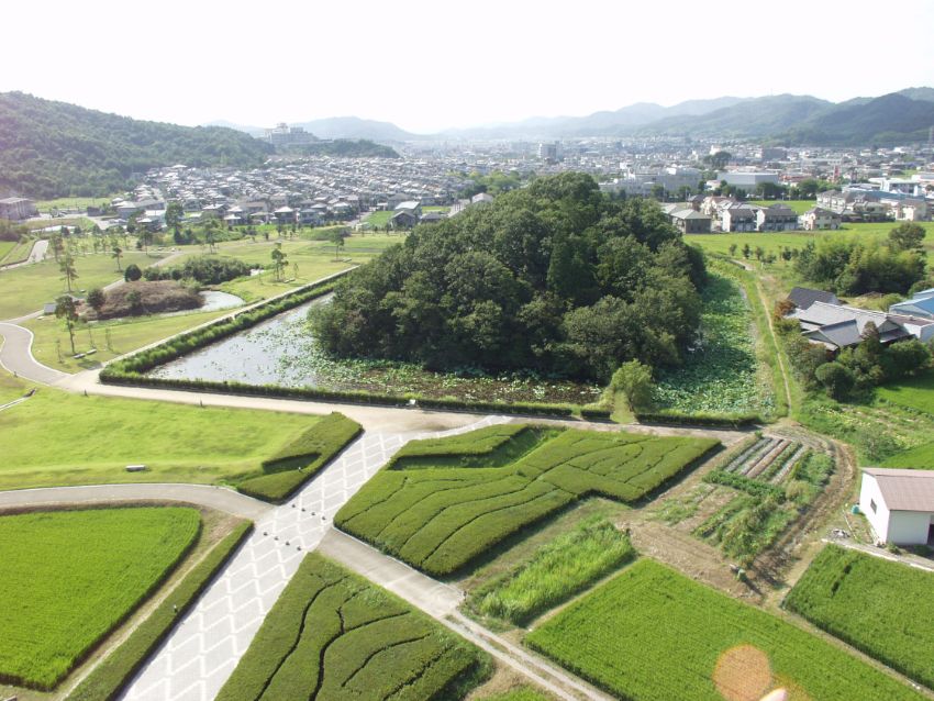
玉丘史跡公園(玉丘古墳群)
住所:兵庫県加西市玉丘町76
TEL:079-446-0081(管理者:清光社)
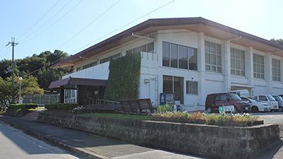
加西市勤労者体育センター
住所:兵庫県加西市玉野町1124
TEL:0790-47-1420
営業時間:
[レンタサイクル] 9:00~16:00
定休日:
水曜日
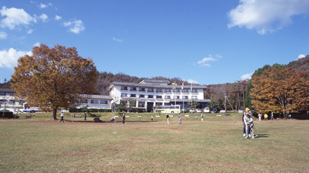
いこいの村はりま
住所:兵庫県加西市笹倉町823-1
TEL:0790-44-1750
丸山総合公園
住所:兵庫県加西市北条町西高室
TEL:0790-35-8872
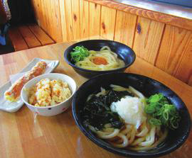
うどん処 こはる蔵
住所:兵庫県加西市殿原町154-1
TEL:0790-44-2780
営業時間:
11:30~14:00 / 17:00~21:00
定休日:
木曜日
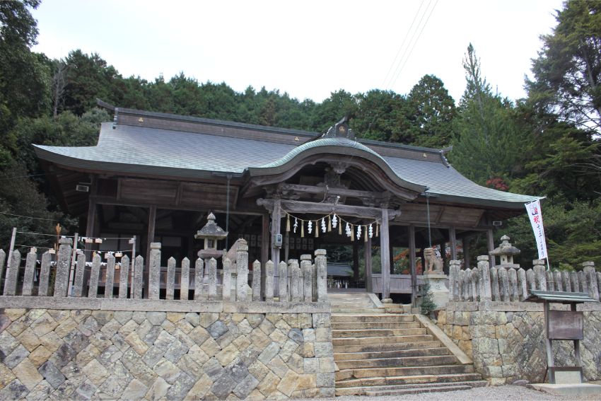
石部神社
住所:兵庫県加西市上野町69-2
TEL:0790-44-0046
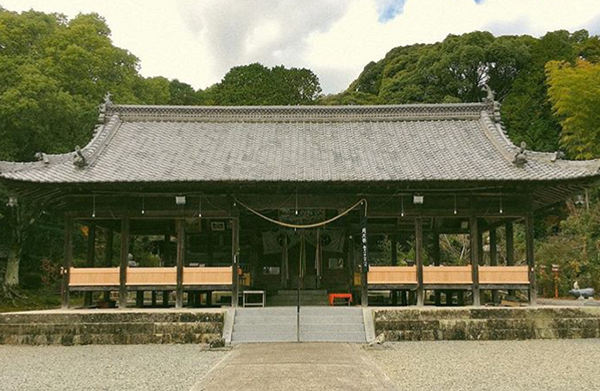
日吉神社
住所:兵庫県加西市池上町7
TEL:0790-45-1616
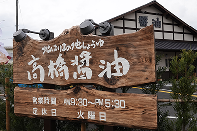
高橋醤油
大正十年の創業以来、北播磨地方の家庭の味を守り続けてきた「高橋醤油」。直売所はサイクリングの休憩スポットとしても人気。自慢の醤油類や地元の特産品の販売はもちろん、じっくり熟成した醤油を濃厚クリームと合わせた醤油ソフトクリームが好評。様々な醤油の味が楽しめる試食コーナーもあり、店内から仕込み蔵も見学可能。
住所:兵庫県加西市和泉町118-7
TEL:0120-373-580
営業時間:
9:30~17:30
定休日:
火曜日、春季夏季・年末年始休あり
村岡自転車商会
住所:兵庫県加西市殿原町411-1
TEL:0790-44-0245