


![]()
![]()
![]()
![]()
![]()
![]()
![]()
![]()
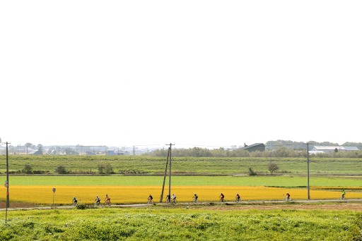
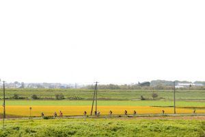
美唄市内を一周する上級者向けサイクリングルート。田園風景を眺めながら宮島沼などを経由する走りごたえのあるルートです。途中休憩できる場所が少ないため、トイレなどはこまめに行きましょう。
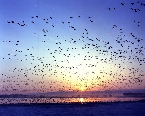
A cycling route for advanced riders that goes around Bibai city. It is a challenging route that goes through places such as Miyajima Swamp while admiring the rural landscape. There aren't many places where you can take a break along the way, so be sure to go to the toilet frequently.
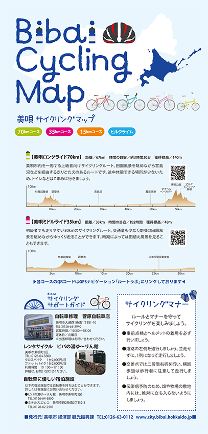
※オンラインの地図上でサイクリングルートが閲覧できるウェブサイト「ルートラボ」が2020年3月末でサービス終了したため、「bikemap」に変更したことで、bikemap内の距離や高低差に誤差が生じている場合がありますが、ご理解ご了承の程、よろしくお願いします。
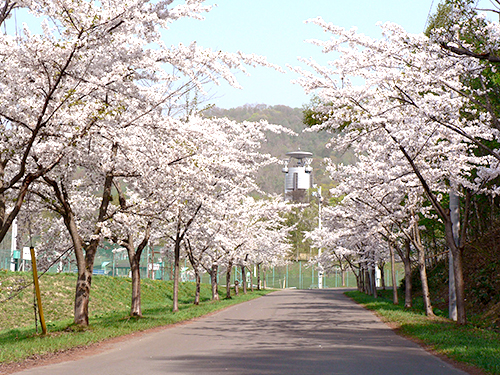
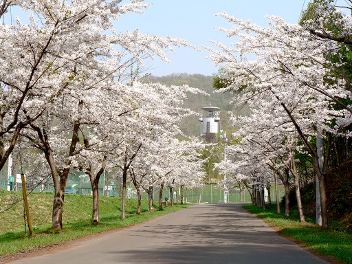
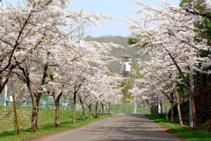
春には約2,000本の桜と5,000本を超えるツツジが咲き誇る、空知管内随一の桜とツツジの名所。宿泊温泉施設「ピパの湯 ゆ~りん館」や陶芸体験を楽しめる「美唄市体験交流館」、「美唄市パークゴルフ場」が隣接しています。
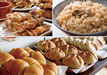
美唄焼き鳥(左上)
レバーやハツ、玉子、皮など様々な部位を1本の串に刺して焼く「モツ串」が特徴です。また、玉ねぎを使い、炭火で焼き、味付けは塩コショウが基本。かつて炭鉱マンの疲れを癒したその味わいは、今もふるさとの味として愛されています。
とりめし(右上)
鶏肉やモツと米を一緒に炊いた郷土料理で、美唄焼き鳥と並ぶ美唄のソウルフード。もともとはお祝い事や遠方からのお客様をもてなすときのご馳走でした。各店舗で味付けも違うので食べ比べがお勧めです。
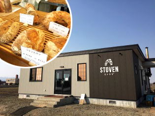
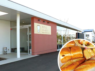
米粉パン(下)
美唄市は道内屈指の稲作地帯・米どころ。美唄では、地元産の米粉を使ったパンを販売しており、もちもちっとした食感やしっとり感が特徴です。その他、市内の菓子店でも米粉を使ったお菓子を販売しています。
札幌方面に向かう国道12号線沿いにある、市内の企業、団体、農家が出店するアンテナショップ。店内には、美唄の農作物や特産品が所狭しと並びます。ソフトクリームやハスカップソーダなどサイクリングの休憩にぴったりな場所です。
