![]()
![]()
![]()
![]()
![]()
![]()
![]()
![]()
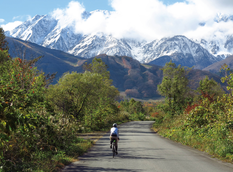
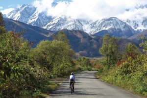
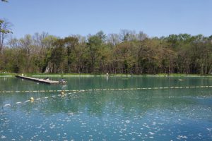
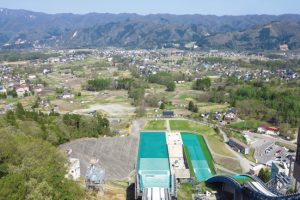

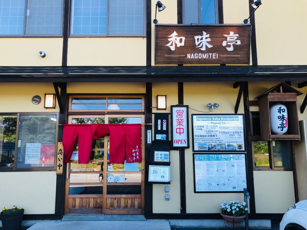
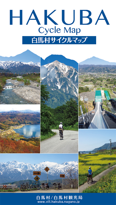
距離も短く自転車にあまり乗り慣れていない人でも楽しめるルート。白馬駅をスタートしてすぐの松川河川道路は一般車両があまり通行できないようにしているので広々して走りやすい。坂は緩やかに上るが目の前に広がる北アルプスを見ているとあっという間に上ってしまうだろう。白馬大橋を渡る。エメラルドグリーンのニレ池は管理釣場になっており、誰でも釣りを楽しむ事ができる。ニレ池の前から細道に入ると、八方尾根の温泉街に入るので、街中散策を楽しもう。温泉街から少し先に進むと白馬ジャンプ競技場が見えてくる。長野オリンピックの歴史やジャンプ台の迫力を体験できる。その後は中心部に戻り、八方の湯にある足湯でひとやすみ。最後は大楢川沿いの道を下ればゴールの白馬駅に戻る。
The distance is short, and it is a route that can be enjoyed even by people who are not used to riding bicycles. The Matsukawa River Road, right after starting Hakuba Station, is spacious and easy to drive because general vehicles cannot pass through. The hill climbs slowly, but if you look at the Northern Alps spreading out right in front of you, you'll go up in no time. Cross the Hakuba Bridge. The emerald green elm pond is a managed fishing spot, and anyone can enjoy fishing. If you enter the hosomichi from the front of Elm Pond, you will enter the hot spring town of Happo-one, so enjoy walking around the city. If you go a little further from the hot spring town, you will see the Hakuba Jump Stadium. You can experience the history of the Nagano Olympics and the power of the jump platform. Afterwards, I went back to the center and took a rest in the footbath at Happo-yu. Finally, if you go down the road along the Onara River, you will return to Hakuba Station, which is the goal. The English version is here. For English.
※オンラインの地図上でサイクリングルートが閲覧できるウェブサイト「ルートラボ」が2020年3月末でサービス終了したため、「bikemap」に変更したことで、bikemap内の距離や高低差に誤差が生じている場合がありますが、ご理解ご了承の程、よろしくお願いします。
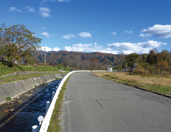
松川河川道路は車通りも少なく広いので走りやすい。目の前に雄大な北アルプスが広がる。
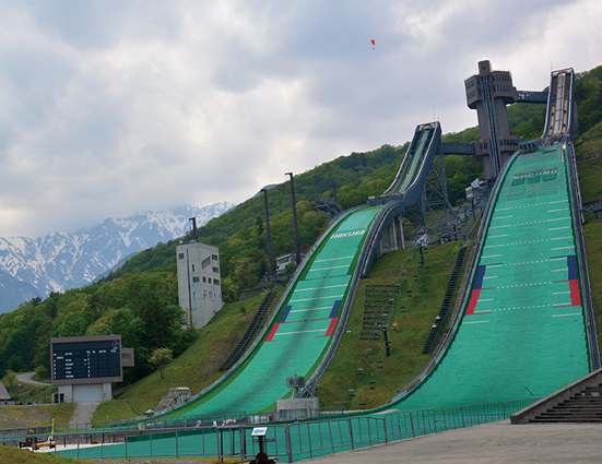
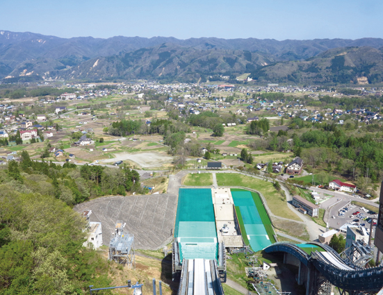
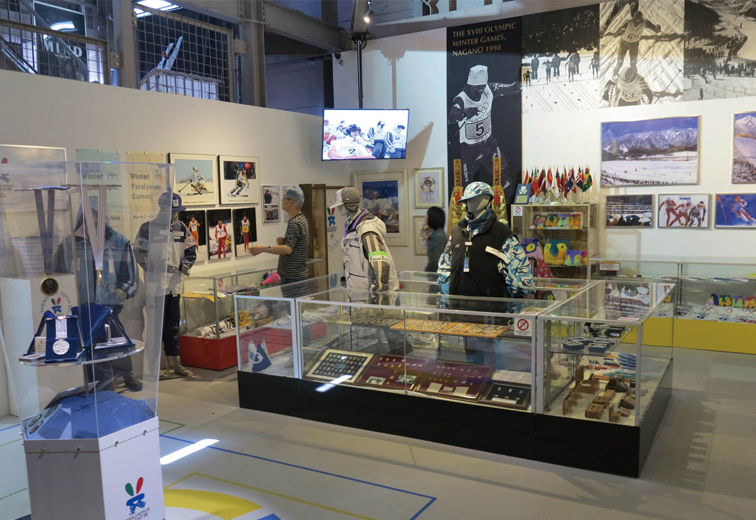
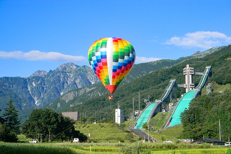
長野オリンピックで日本中が注目した白馬ジャンプ競技台。
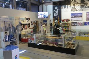
スタートタワー中2階にオリンピックギャラリーがあり、貴重な資料や金メダルなどが展示されている。
また、展望エレベーターでジャンプ台に上がり、競技選手と同じ景色を体感できる。
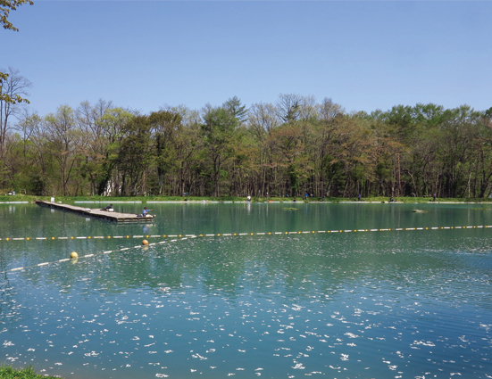
白馬八方にある管理釣り場のニレ池。エメラルドグリーンが美しい。
八方尾根入口から大楢川沿いの道は広く走りやすい、なだらかな下り。
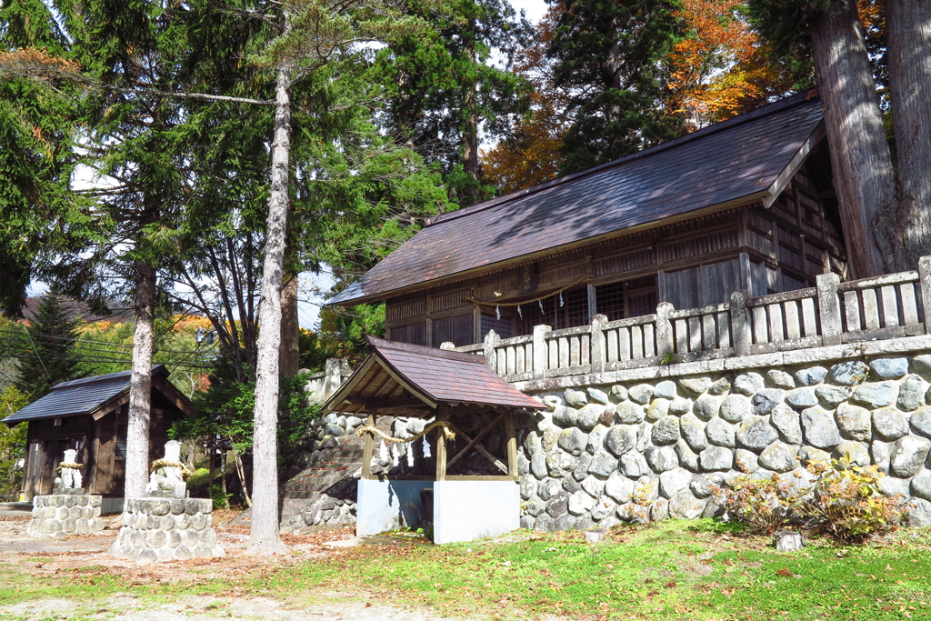
創建は不詳だが、この地域の産土神として祀られている諏訪神社、杉の大木が目を引く。