


![]()
![]()
![]()
![]()
![]()
![]()
![]()
![]()
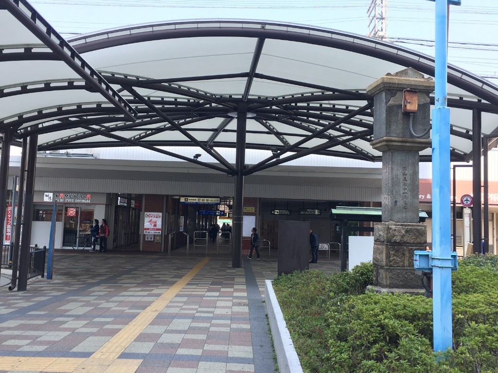
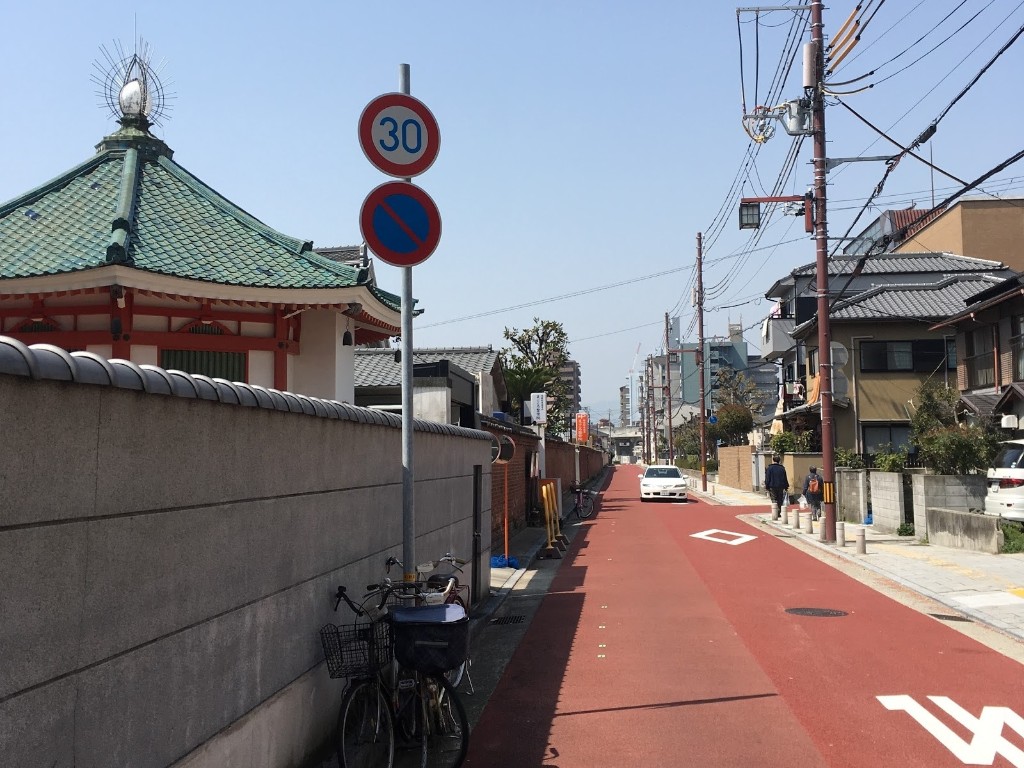
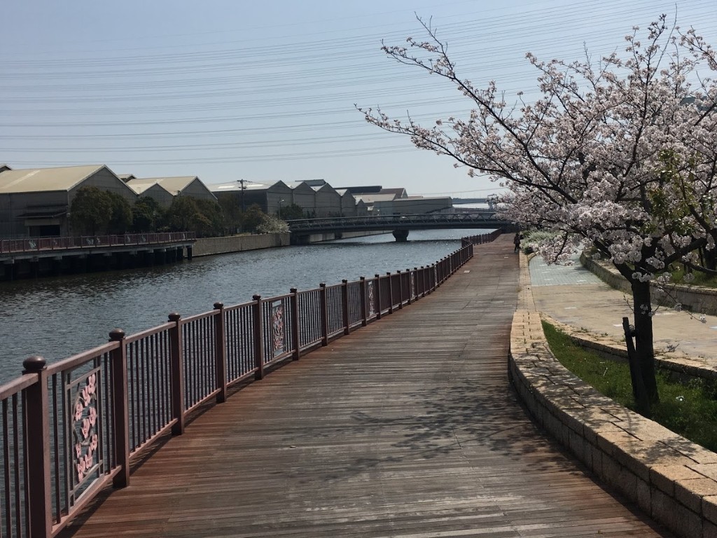
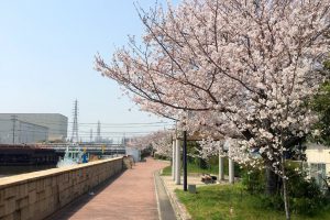
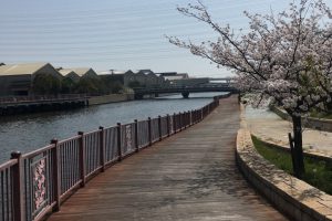
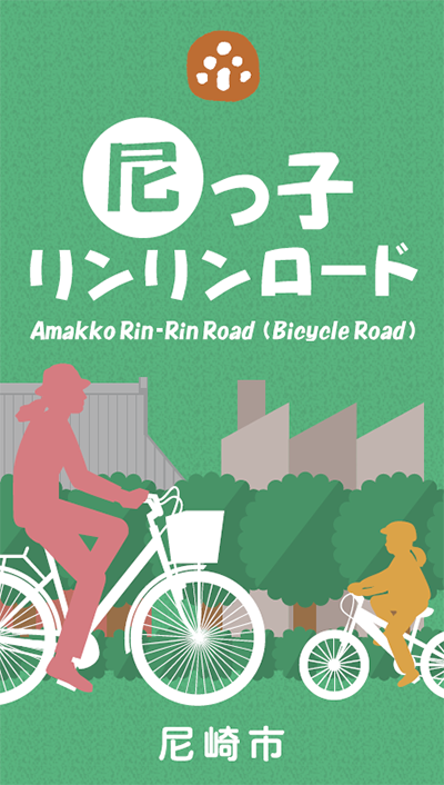
山も坂道もほとんどない尼崎は、自転車でどこでも行けるチャリの楽園。川や運河沿いにあるクルマがほとんど通らない道路が「尼っ子リンリンロード」として整備されています。
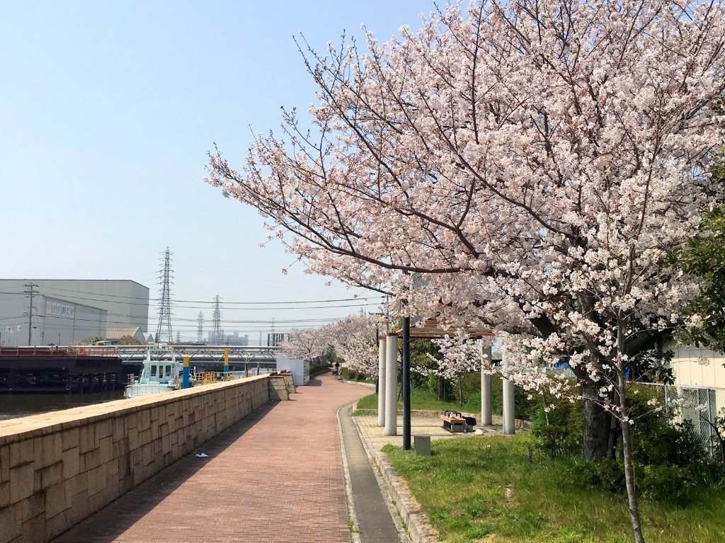
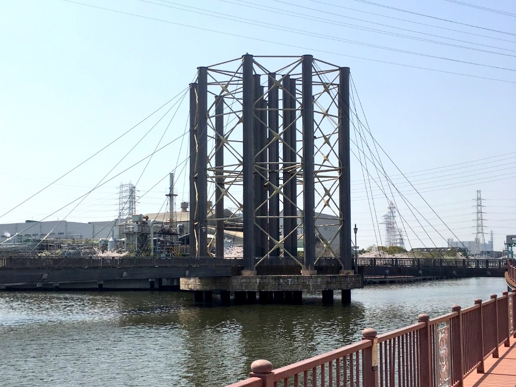
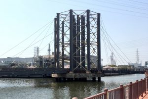
全長はおよそ11キロ。寺町の歴史から工業地帯、環境再生の森、そして尼崎の海を感じることができるサイクリングロードです。
Amagasaki, which has almost no mountains or slopes, is a bicycle paradise where you can go anywhere. Roads along rivers and canals where almost no cars pass through have been developed as “Amako Rinrin Road.”
The total length is approximately 11 kilometers. It is a cycling road where you can feel the history of Teramachi, the industrial area, the forest of environmental restoration, and the sea of Amagasaki.
※オンラインの地図上でサイクリングルートが閲覧できるウェブサイト「ルートラボ」が2020年3月末でサービス終了したため、「bikemap」に変更したことで、bikemap内の距離や高低差に誤差が生じている場合がありますが、ご理解ご了承の程、よろしくお願いします。

