


![]()
![]()
![]()
![]()
![]()
![]()
![]()
![]()
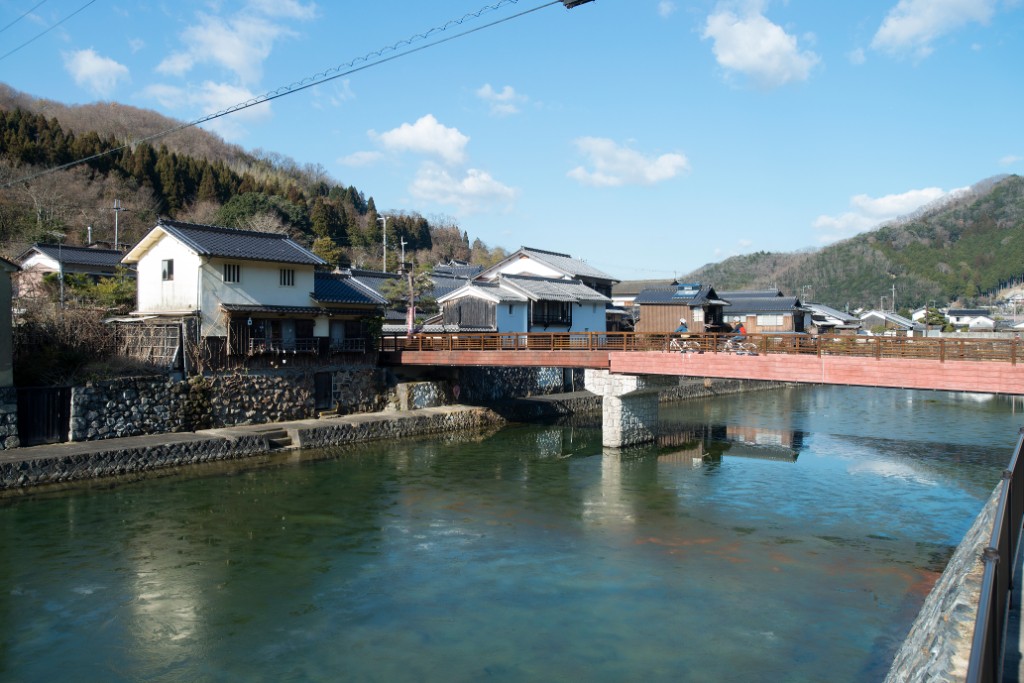

江戸時代に整備された播磨国姫路(兵庫県姫路市)と因幡国鳥取(鳥取県鳥取市)を結ぶ”因幡街道”、環境省選定名水百選”千種川”。その兵庫県エリアを走るコースのスタートは、兵庫県赤穂郡上郡町の上郡駅。難攻不落の「落ちない城・白旗城」がある白旗山の麓から山と川に囲まれた自然景観の美しい街道を走って、因幡街道有数の宿場町として栄えた佐用郡佐用町・平福へ。ゴールの平福駅では、格子戸・なまこ壁や連子窓など、古い街並みに心ほっこり、サイクリングの疲れも癒される~。インドカレーで評判のレトロ喫茶に、上月の味噌饅頭、佐用のホルモン焼きうどんや鹿コロッケなど、グルメのバリエーションも豊かで、お楽しみ満載♪
The “Inaba Kaido” connects Himeji in Harima Province (Himeji City, Hyogo Prefecture) and Tottori in Inaba Province (Tottori City, Tottori Prefecture), which was developed in the Edo period, and the “Chikusa River” was selected as one of the 100 famous waters by the Ministry of the Environment. The course that runs through the Hyogo prefecture area starts at Kamigori Station in Kamigori-cho, Ako-gun, Hyogo prefecture. From the foot of Mt. Shirahata, where the impregnable “Shirohata Castle Never Falls,” runs along a road with a beautiful natural landscape surrounded by mountains and rivers, to Sayo-cho and Hirafuku in Sayo-gun, which flourished as one of the leading post towns on the Inaba Kaido. At the goal station, Hirafuku, you can relax your heart and relax in the old cityscape, such as lattice doors, sea cucumber walls, and reclining windows, and you can also heal your fatigue from cycling. There is a wide variety of gourmet foods, such as Kozuki miso manju, seasoned hormon-yaki udon, and deer croquettes, at a retro cafe popular for Indian curry, and plenty of fun ♪

自転車に乗って、はりま新発見!
マップ詳細へ※オンラインの地図上でサイクリングルートが閲覧できるウェブサイト「ルートラボ」が2020年3月末でサービス終了したため、「bikemap」に変更したことで、bikemap内の距離や高低差に誤差が生じている場合がありますが、ご理解ご了承の程、よろしくお願いします。
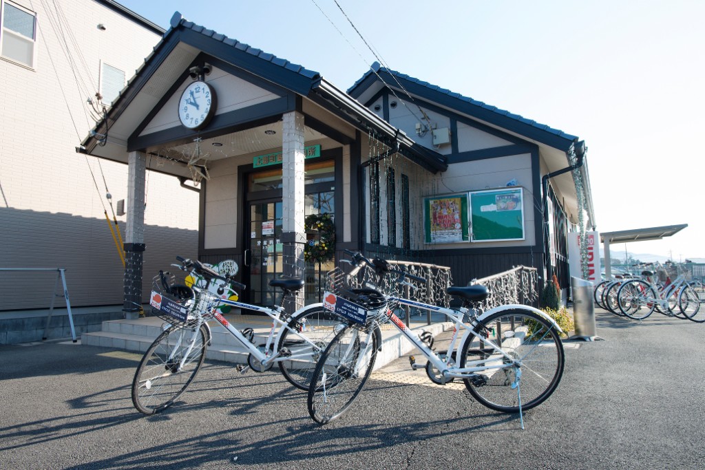
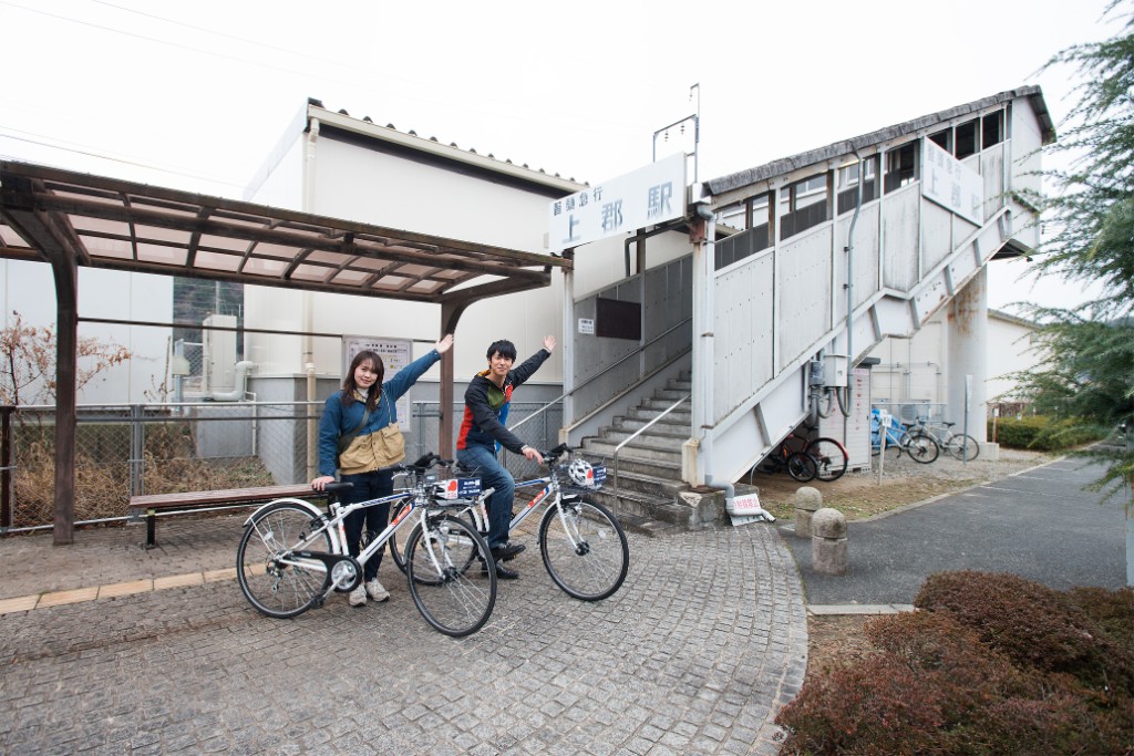
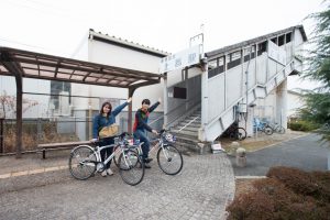
上郡駅前にある観光案内所。上郡町の観光案内はもちろん、レンタサイクルの貸出しほか、上郡町特産品モロヘイヤを使ったお土産等の販売も。「円心モロどん」は上郡町特産品モロヘイヤを使ったお土産の販売も。「円心モロどん」は上郡町薬草研究会が育てたモロヘイヤを粉末にしてうどんに練り込んだご当地麺。Β(ベータ)カロテンが豊富に含まれており、食べやすく、子どもから大人まで大人気!
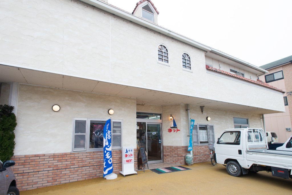
昭和42年創業の喫茶店。美味しいコーヒーをはじめ、昭和レトロなパフェやミックスジュースを提供。名物メニューのカレーは店主がインドで研究した本格派で、21種類のスパイスを煮込んだシャバシャバサラサラのルゥが絶品!地元名物の「円心モロどん」も、ここならではのカレーつけ麺で楽しめる。
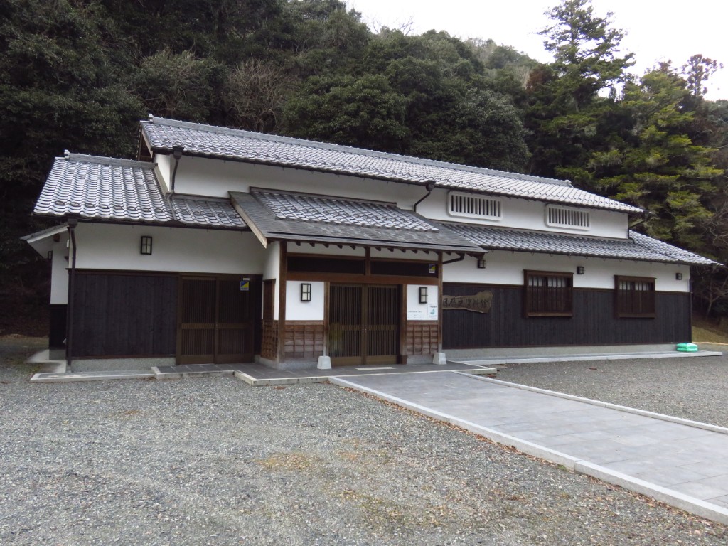
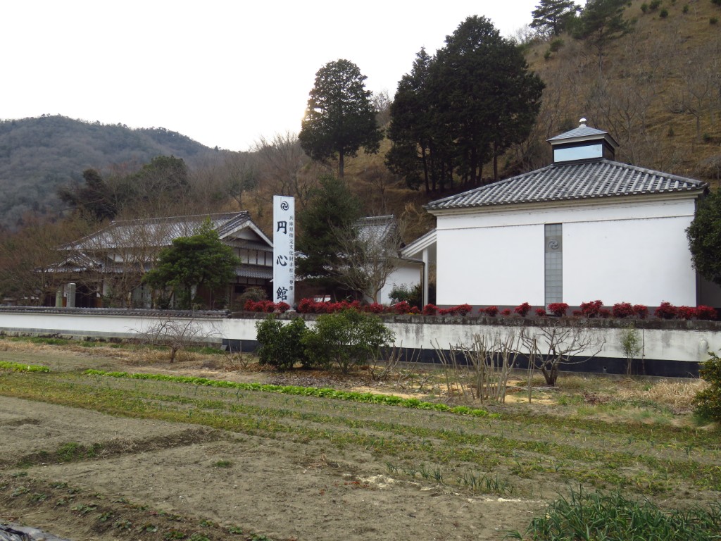
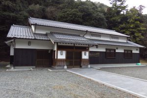
文和4年、赤松円心の三男である赤松則祐が創建した寺院、宝林寺。境内の円心館には、兵庫県の有形文化財に指定される赤松円心、赤松則祐、雪村友梅、覚安尼の木坐像が展示される。随時、ガラス越しに見学できるが、建物内に入ってじっくり干渉したい人は松雪寺(電話0791-52-1277)へ事前申込が必要
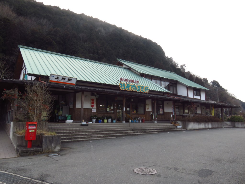
JR姫新線の上月駅に併設した特産物直売所。佐用町特産の「佐用もち大豆」を原料にした味噌や豆腐などの加工品をはじめ、地元産食材を使用した数々の手作り食品、地元の農家からの朝採り野菜がズラリ。店内の奥にはレストランもあり、味噌煮込みうどん480円(税込)が大人気!
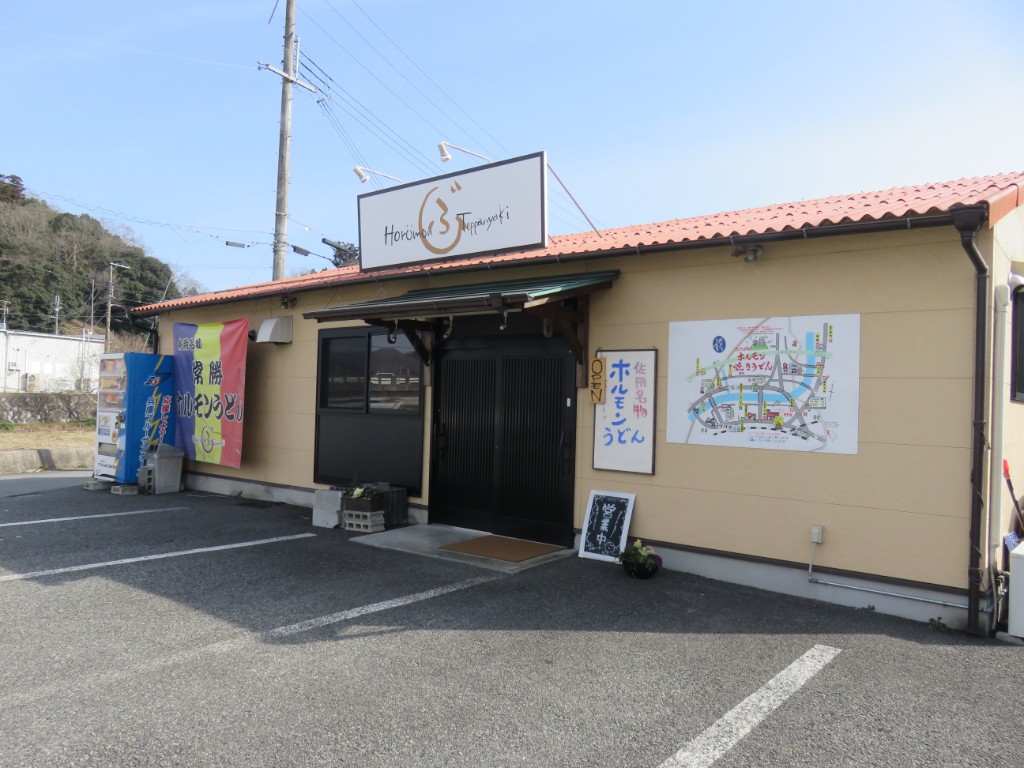
佐用町の名物、ホルモン焼きうどんを楽しめる。2012年創業と、佐用町のなかでは歴史は浅いが人気はピカイチ。キャベツ、ネギ、ホルモンを一緒に鉄板で炒め、うどんと若干のダシを入れて焼いたものを、特製のタレにつけて食べるホルモン焼きうどんは、店舗ごとに味が異なるため、食べ比べも面白い。
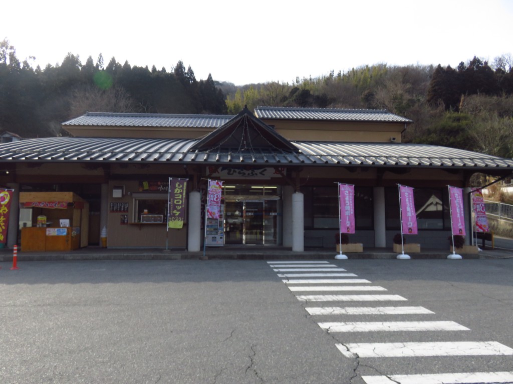
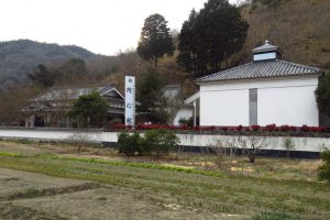
古い民家や土蔵が並ぶ因幡街道有数の宿場町として栄えた平福巡りの拠点。特産素材を使用する本格派レストランや、「鹿コロッケ」などのご当地B級グルメを気軽に楽しめるフードコート、特産品コーナーもある。
播磨にはなんと合格にご利益のある「駅」がある!受験シーズンの学生たちが目指すのは「白旗城」跡がある白旗山の麓、智頭急行の河野原円心駅。南北朝時代の播磨の武将・赤松円心により築城された山城「白旗城」は、足利尊氏を追う新田義貞率いる6万の軍勢をわずか2千の兵で50日余り防ぎ止めた「難航不落」の名城として知られる。「落ちない城・白旗城」にあやかり、河野原円心駅行きの乗車券を絵馬型の台紙にセットして発売。上郡駅前の観光案内所などで、「合格祈願絵馬」を配布し、智頭急行河野原円心駅と白旗山麓、山頂の白旗本丸跡の3箇所に絵馬掛所を設置。
