![]()
![]()
![]()
![]()
![]()
![]()
![]()
![]()

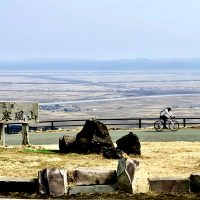
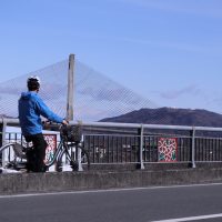
地元では「横峯山」と呼ばれる。標高443m、舗装路が山頂まで続き電波塔や展望台がある。緩やかな林道と勾配10%以上が交互に現れゆっくりと足を削られる“飴と鞭”に注意が必要である。
・距離:4.5km
・平均勾配:8%
・獲得:360mUP
Locally, it is called “Mount Yokomine.” At an altitude of 443 meters, the paved path continues to the summit, and there is a radio tower and observatory. It is necessary to be careful about “candy and whip,” where gentle forest roads and slopes of 10% or more alternately appear and legs are slowly scraped.
・Distance: 4.5 km
・Average slope: 8%
・Acquired: 360 mUP
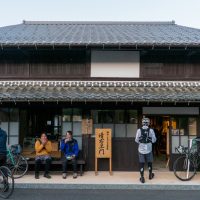
| 住所 | 兵庫県丹波市市島町上垣 |
|---|---|
| TEL | |
| ウェブサイト | https://www.tambacity-kankou.jp/model/no13.html |
| 営業時間 | |
| 定休日 | |
| 料金 | |
| 備考 |