閉じる
閉じる
English Page
お問合せ
NEMU
TOP
コース・マップ検索
コース・マップ検索
コース検索
コース条件から検索
都道府県から検索
地図から検索
スポットから検索
コースランキング
コースで人気のスポットランキング
マップ検索
都道府県から検索
マップランキング
都道府県検索
都道府県検索
都道府県別サイクリング情報
都道府県アクセスランキング
旅×自転車 記事
旅×自転車 記事
記事一覧
カテゴリから探す
フリーワードから探す
タグから探す
旅×自転車 情報
旅×自転車 情報
サイクリストにやさしい宿
サイクルトレイン
レンタサイクル
予約ができるレンタサイクル
スポーツタイプのe-bikeがあるレンタサイクル
スポーツタイプがあるレンタサイクル
マウンテンバイクがあるレンタサイクル
子供用自転車があるレンタサイクル
タンデム自転車があるレンタサイクル
鉄道駅に近いレンタサイクル
レンタサイクルがある道の駅
サイクリングコースがある公園
交通公園
自転車でも乗れるフェリー
サイクルターミナル
サイクルステーション
サイクルステーションがある空港
自転車店
ギャラリー
ギャラリー
写真ギャラリー
動画ギャラリー
TABIRINについて
お問合せ
English Page
コース・マップ検索
ホーム
>
コース・マップ検索
>
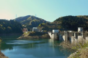
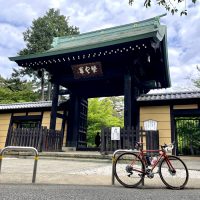
滝沢ダム
滝沢ダム
Takizawa dam
アプリで見る
埼玉
オススメスポット
住所
TEL
ウェブサイト
https://www.water.go.jp/kanto/arakawa/takizawa/kengaku.html
営業時間
定休日
料金
備考
スポット掲載コース
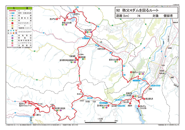
92 秩父4ダムを回るルート
埼玉
中級
距離:
81.8km
獲得標高 上り:
1696m
獲得標高 下り:
1607m
最大標高差:
371m
このマップに掲載
秩父4ダムを回るルート
温泉
名所・史跡
湖・ダム・池
同カテゴリのスポット
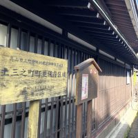
飛騨高山古い町並 三町伝統的建造物群保存地区
岐阜
オススメスポット
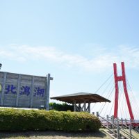
北潟湖畔サイクリングパーク
福井
オススメスポット
ビュースポット
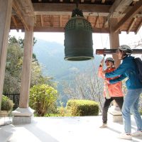
常鑑寺
群馬
オススメスポット
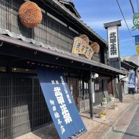
武甲酒造
埼玉
オススメスポット
ビュースポット
グルメ
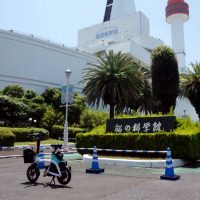
船の科学館
東京
オススメスポット
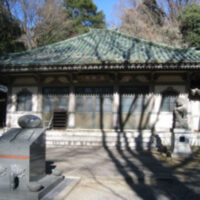
長林寺
栃木
オススメスポット
ビュースポット
豪徳寺
東京
オススメスポット
プラザロコ
静岡
オススメスポット
城峯公園
埼玉
オススメスポット
桜山展望台
埼玉
オススメスポット
ビュースポット