


![]()
![]()
![]()
![]()
![]()
![]()
![]()
![]()
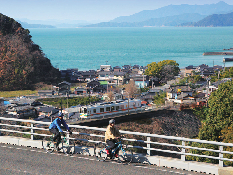
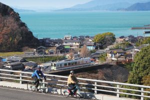
八代海と天草の島々を眺めながら進む風光明媚な約80km のルート。肥後二見あたりまではフラットだが、その先はリアス海岸のアップダウンが連続するため走り応えある道となっている。その道沿いには柑橘類の畑が続き、見晴らしの良い岬や白い砂浜、ローカル鉄道が走る風景など、とても魅力的なロケーションが広がる。もちろん地元の海の幸や、特産の柑橘類、あしきた牛などの美味しいグルメも堪能できる。さらにルート上には温泉街が2 ヶ所あるので、宿泊しながらのんびり楽しむなんてことも。肥薩おれんじ鉄道のサイクルトレインを利用することもこのルートの楽しみのひとつだ。
A scenic route of about 80 km that continues while looking out at the Yatsushiro Sea and the Amakusa islands. It's flat until around Higo Futami, but beyond that, there are continuous ups and downs on the Rias coast, so it's a good road for driving. Citrus fields continue along the road, and very attractive locations spread out, such as a cape with a good view, white sand beaches, and the scenery where local railways run. Of course, you can also enjoy delicious gourmet food such as local seafood, specialty citrus fruits, and Ashikita beef. Furthermore, there are 2 hot spring towns along the route, so you can just relax and enjoy your stay. Using the Hisatsu Orange Railway cycle train is one of the pleasures of this route.
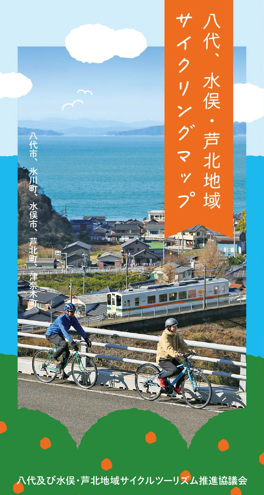
九州の真ん中、熊本県南部の八代海に面した【八代、水俣・芦北地域】は、西側には海を挟んで天草の島々が広がり、東側には九州山地が連なる。その山地を縫って日本三大急流・球磨川が流れており、海、山、そして川と三拍子揃ったエリアだ。
歴史と個性豊かな数々の温泉や、海の幸や川の恵、また山には特産の柑橘類が実り、和牛も美味しい。風光明媚な海岸線には白いビーチや岬からの絶景。そんな風景を眺めながら利用できるサイクルトレインだって君が来るのを待っている。
さあ、サイクリングでこのエリアを全部まとめて楽しんでしまおう!
マップ詳細へ※オンラインの地図上でサイクリングルートが閲覧できるウェブサイト「ルートラボ」が2020年3月末でサービス終了したため、「bikemap」に変更したことで、bikemap内の距離や高低差に誤差が生じている場合がありますが、ご理解ご了承の程、よろしくお願いします。
天草の島々を見渡せる御立岬一帯に作られた自然豊かなレジャーパーク。500m 以上続く白い砂浜の海水浴場や、本格的なゴーカート場の他、テニス、キャンプ場、温泉センターなどがあり、様々な遊びを満喫できる。また愛のカギ伝説のスポット、シンボルタワーからの眺めも素晴らしい。
かつて憩いの森として整備された森の中に、33 体の金色の仏像が生木を直接彫り出して作られている。地域や人々の活力ある未来を祈る場として世界的に著名なアーティスト・西野達氏が制作した。森に溶け込むように佇む仏像たちは、訪れるものを不思議な空間へと誘う。西野氏の作品が公共的な空間において常設されているのは世界でもフランスとここだけだ。
