


![]()
![]()
![]()
![]()
![]()
![]()
![]()
![]()
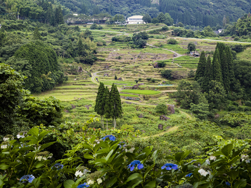
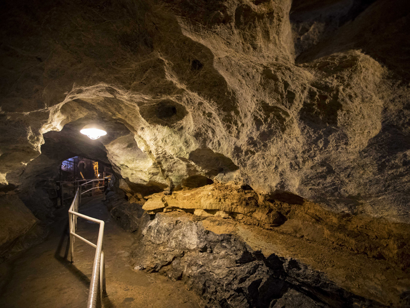
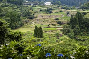
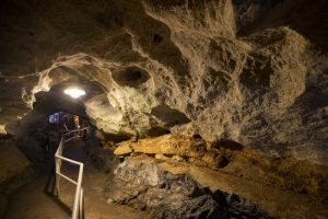
豊かな自然に囲まれた球磨村を堪能できるコース。アップダウンが多いが、日本の棚田百選に選ばれた棚田の美しい景観や、長い歴史が生み出した自然の芸術品ともいわれる鍾乳洞などを楽しむことができる。
※令和2年7月豪雨の影響で通行不可の箇所や通行が危険な箇所があります。最新情報は球磨村HP等をご確認ください。
A course where you can enjoy Kuma Village, which is surrounded by rich nature. There are many ups and downs, but you can enjoy the beautiful scenery of rice terraces selected as one of Japan's top 100 rice terraces, and limestone caves, which are said to be natural works of art created over a long history.
※Due to the heavy rain in Reiwa 2/7, there are places that are impassable and places that are dangerous to pass through. Please check the Kuma-mura website etc. for the latest information.
熊本県人吉球磨の自然豊かな環境と豊富な観光資源が満載のサイクリングコースをご紹介します。
観光スポットを巡り、おススメのお店でグルメを楽しみ、疲れた身体を温泉で癒す。
コースは全5ルートを準備しており、初心者からベテランの方まで選べます。是非、お試しください。
マップ詳細へ※オンラインの地図上でサイクリングルートが閲覧できるウェブサイト「ルートラボ」が2020年3月末でサービス終了したため、「bikemap」に変更したことで、bikemap内の距離や高低差に誤差が生じている場合がありますが、ご理解ご了承の程、よろしくお願いします。
全長約4800 メートルの鍾乳洞で、西日本では2番目(全国では3 番目)の長さを誇る。3億年という年月を経てできた美しい石柱・石筍は、今も成長を続けている。500 メートルの観光コースと、40メートルの縦穴などを階段で下る探検コースの2つが楽しめる。
日本の棚田百選に選定されている。標高150mから250mの山腹には43段、105枚からなる大小さまざまな不整形の田が広がる。農村文化の原風景が残り、稲穂や霧など自然豊かな四季折々の姿を見ることができる。
