


![]()
![]()
![]()
![]()
![]()
![]()
![]()
![]()
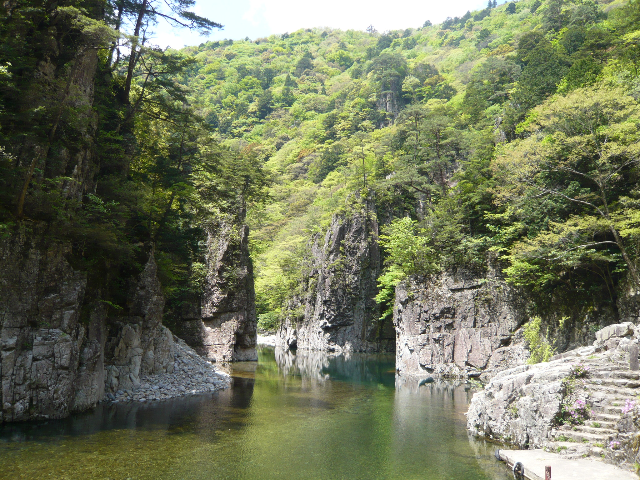
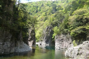
アップダウンの多いエリアで、深い山々が出迎えてくれます。県内屈指のヒルクライムコースにチャレンジ!オプションコースは龍神湖に癒されること必至。
It's an area with lots of ups and downs, and deep mountains welcome you. Take on the challenge of one of the best hill climbing courses in the prefecture! The optional course is sure to be healed by Lake Ryujin.
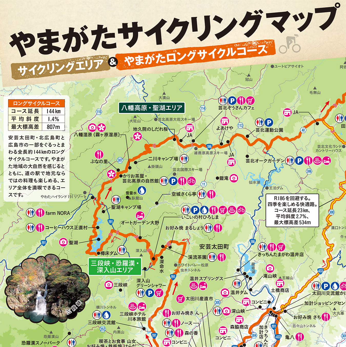
※オンラインの地図上でサイクリングルートが閲覧できるウェブサイト「ルートラボ」が2020年3月末でサービス終了したため、「bikemap」に変更したことで、bikemap内の距離や高低差に誤差が生じている場合がありますが、ご理解ご了承の程、よろしくお願いします。
