![]()
![]()
![]()
![]()
![]()
![]()
![]()
![]()


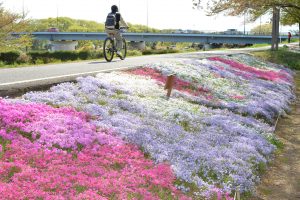
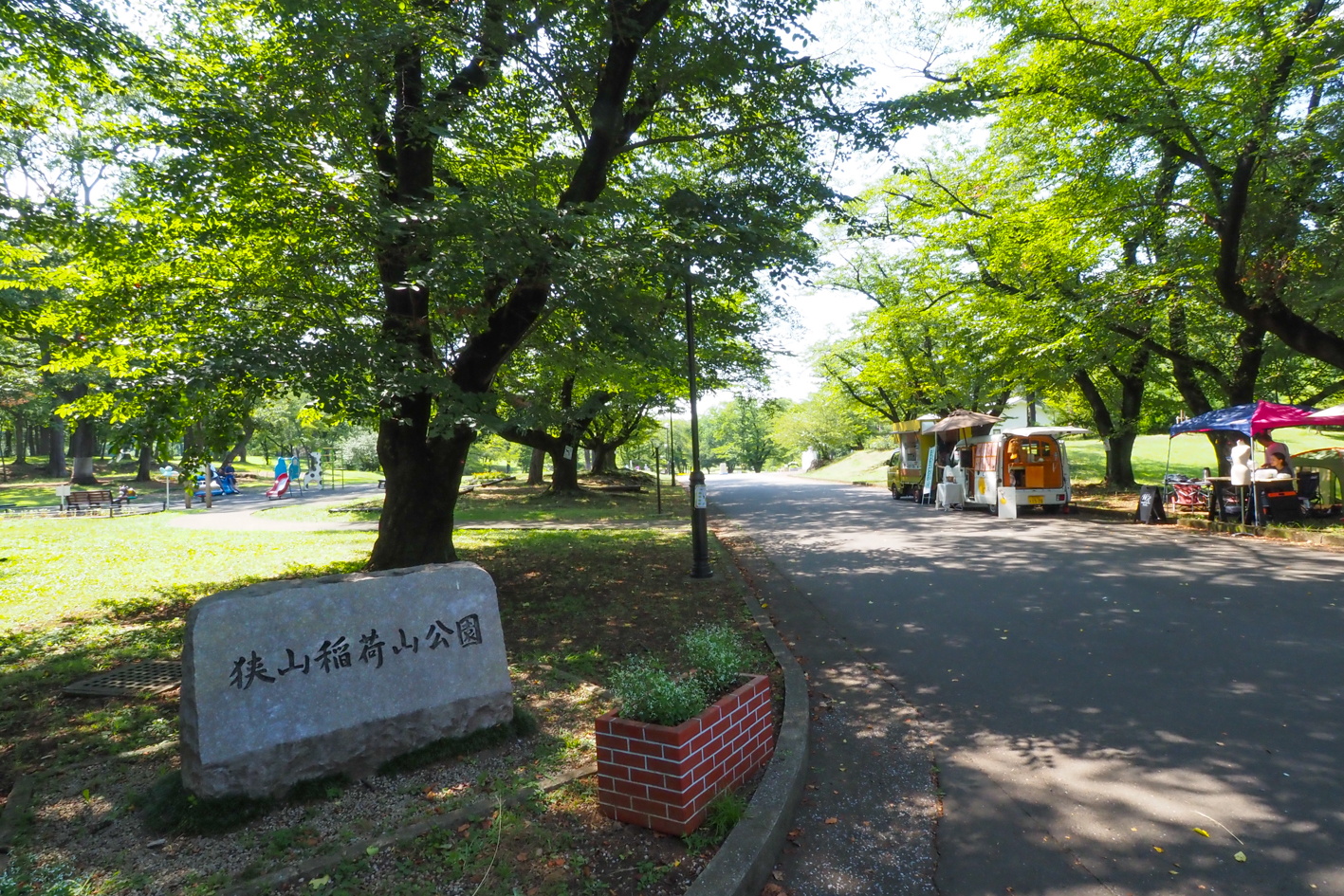
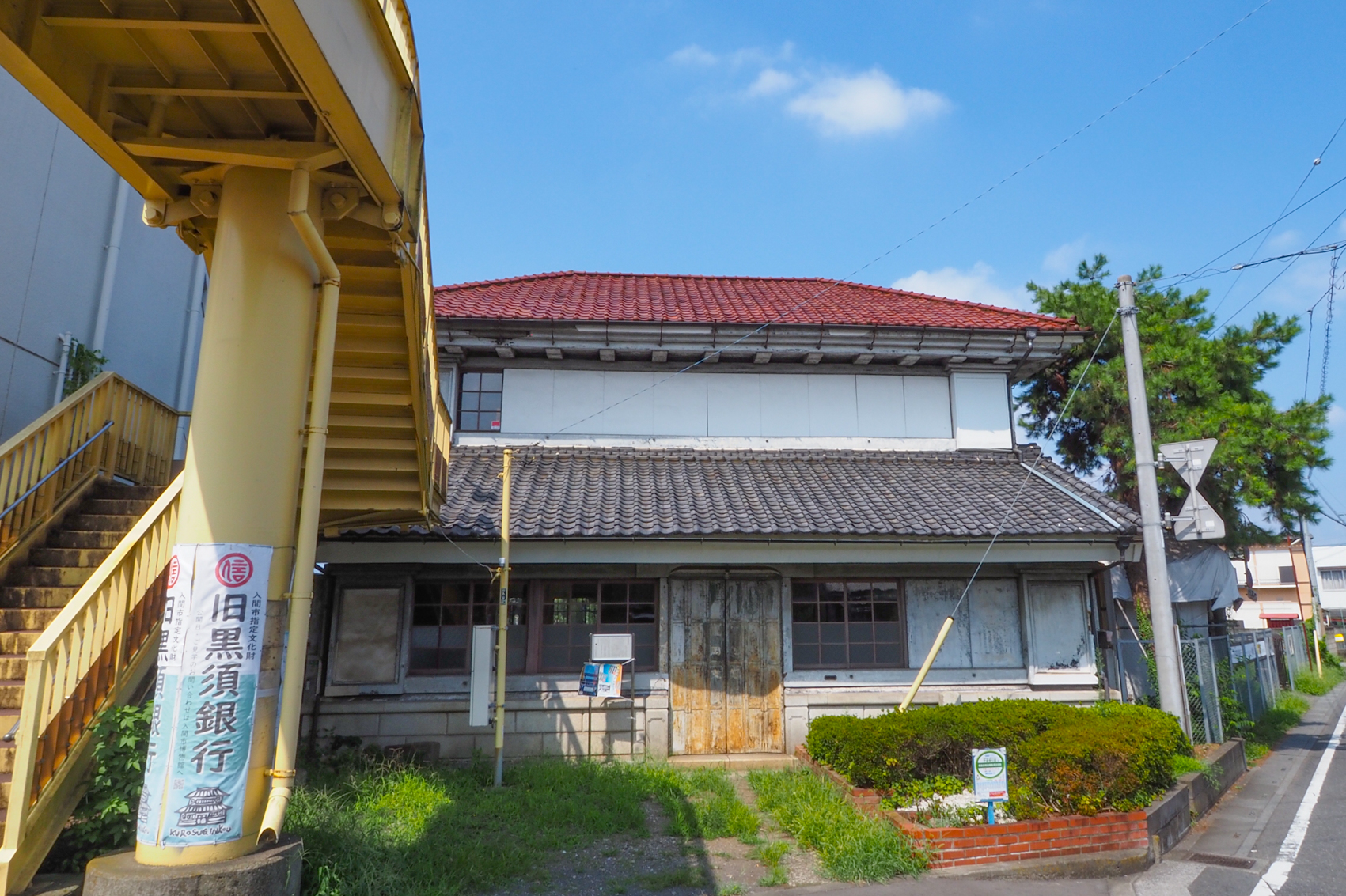
狭山市と入間市を巡るコース。狭山稲荷山公園をスタートし、入間川サイクリングロードを通り、入間市内を周ります。コースが10㎞未満と初心者にも走りやすいのも特徴です。入間川サイクリングロードでは、奥武蔵や富士山の景観が素晴らしく、沿道には桜並木や菜の花、コスモスなどが季節ごとに見られます。入間市では、旧石川組製糸西洋館や旧黒須銀行と、歴史を感じるスポットを巡ります。コースを走り終えれば、狭山市と入間市の魅力を感じることができるでしょう。
A course that goes around Sayama City and Iruma City. Start at Sayama Inariyama Park, go through the Iruma River Cycling Road, and go around Iruma city. Another feature is that the course is less than 10 km, making it easy for beginners to run. On the Iruma River Cycling Road, the scenery of Oku Musashi and Mt. Fuji is wonderful, and you can see rows of cherry blossom trees, rapeseed flowers, and cosmos every season along the road. In Iruma City, you will visit places where you can feel history, such as the former Ishikawa-gumi Silk Seiyokan and the former Kurosu Bank. Once you finish the course, you'll be able to feel the charms of Sayama City and Iruma City.

埼玉西部地域まちづくり協議会 (ダイアプラン)とは、同一鉄道沿線にあり、 歴史的にも地理的にもつながりのある所沢市、飯能市、狭山市、入間市、日高市の5市が、魅力あふれる文化都市圏の実現を目指して設立しました。
令和5年度に協議会設立35周年を迎えることから、これを契機として、サイクリングによる5市の周遊、地域のつながりと連携の強化を図るため、マップを発行いたしました。そのため、各ルートをつなげて周遊できるようコースを設定いたしました。
マップ詳細へ※オンラインの地図上でサイクリングルートが閲覧できるウェブサイト「ルートラボ」が2020年3月末でサービス終了したため、「bikemap」に変更したことで、bikemap内の距離や高低差に誤差が生じている場合がありますが、ご理解ご了承の程、よろしくお願いします。
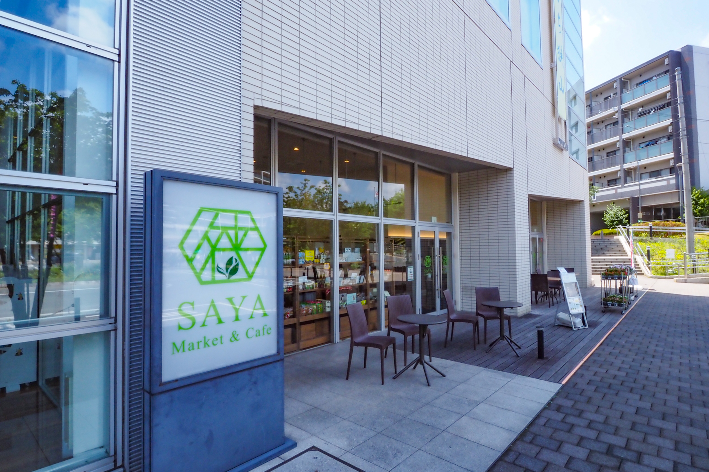
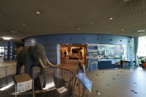
マーケットでは狭山市と近隣の名産品やグッズを販売、カフェでは地域の味覚を再発見できる「狭山茶」を使ったドリンクやフードメニューがそろうアンテナショップ
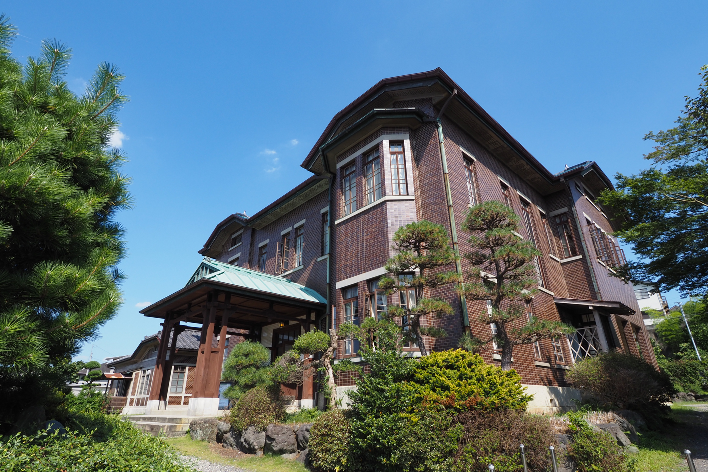
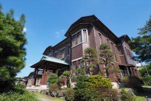
外国商人を招くため約100年前に建てられた迎賓館。ロケ地としても有名
入間川サイクリングロードの途中にある広場で、休日にはキッチンカ―などが出店
官民連携により整備されたスポット。大型遊具やカフェの出店があり賑わっている
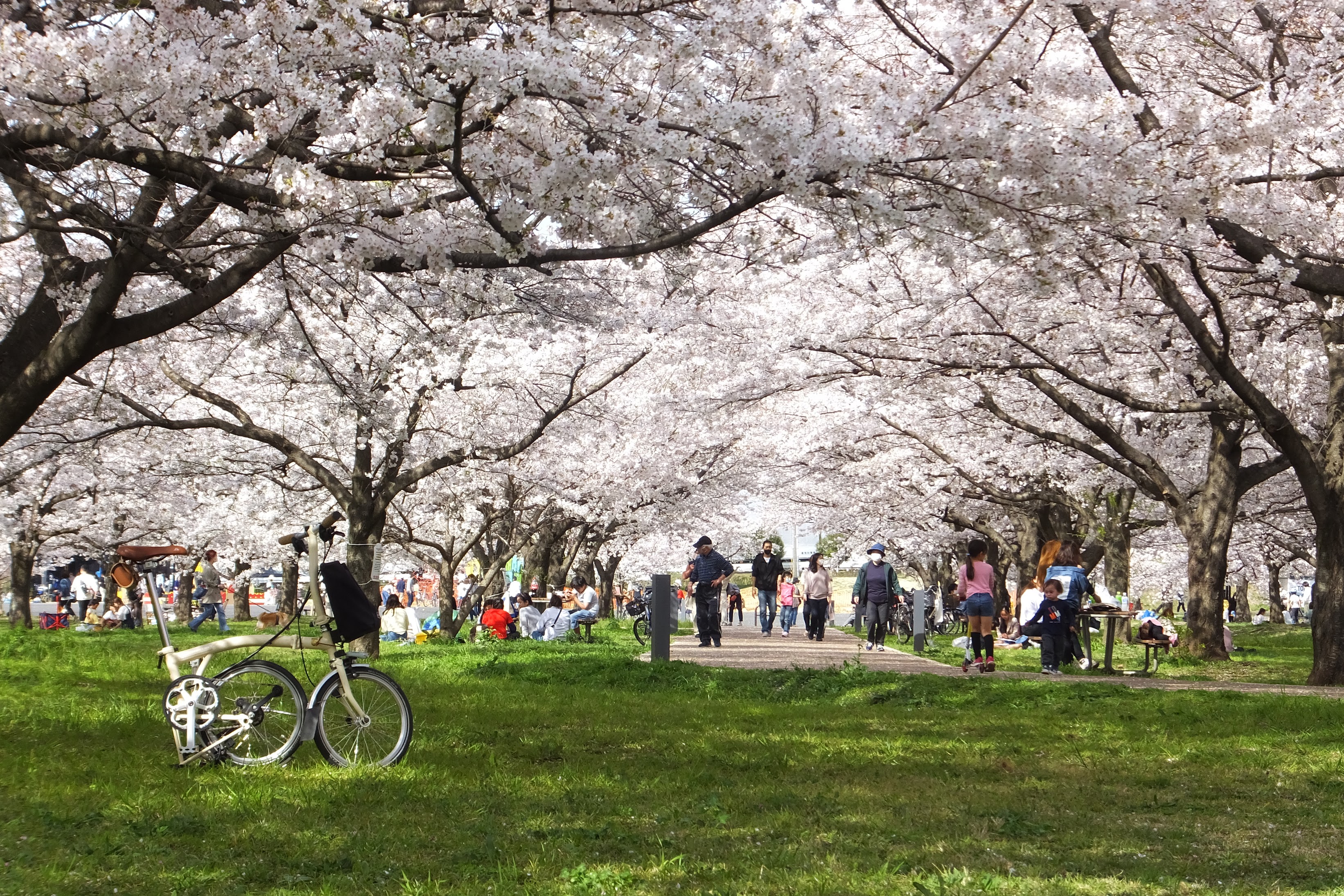
正式名は県道川越狭山自転車道線という。狭山市の豊水橋から川越市の入間大橋まで続く全長約23kmの自転車歩行者専用道路。季節の花を感じながらサイクリングできる