


![]()
![]()
![]()
![]()
![]()
![]()
![]()
![]()


富山県と石川県の県境にある峠と稜線を走る絶景ルート。
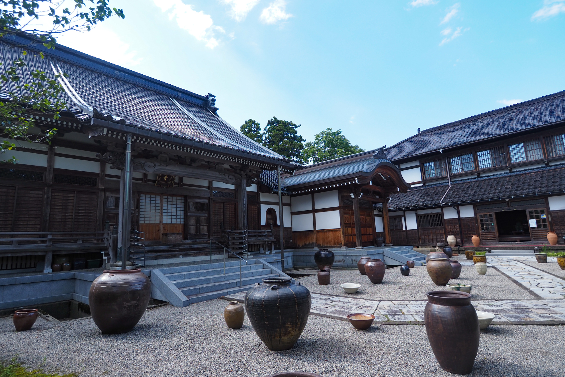
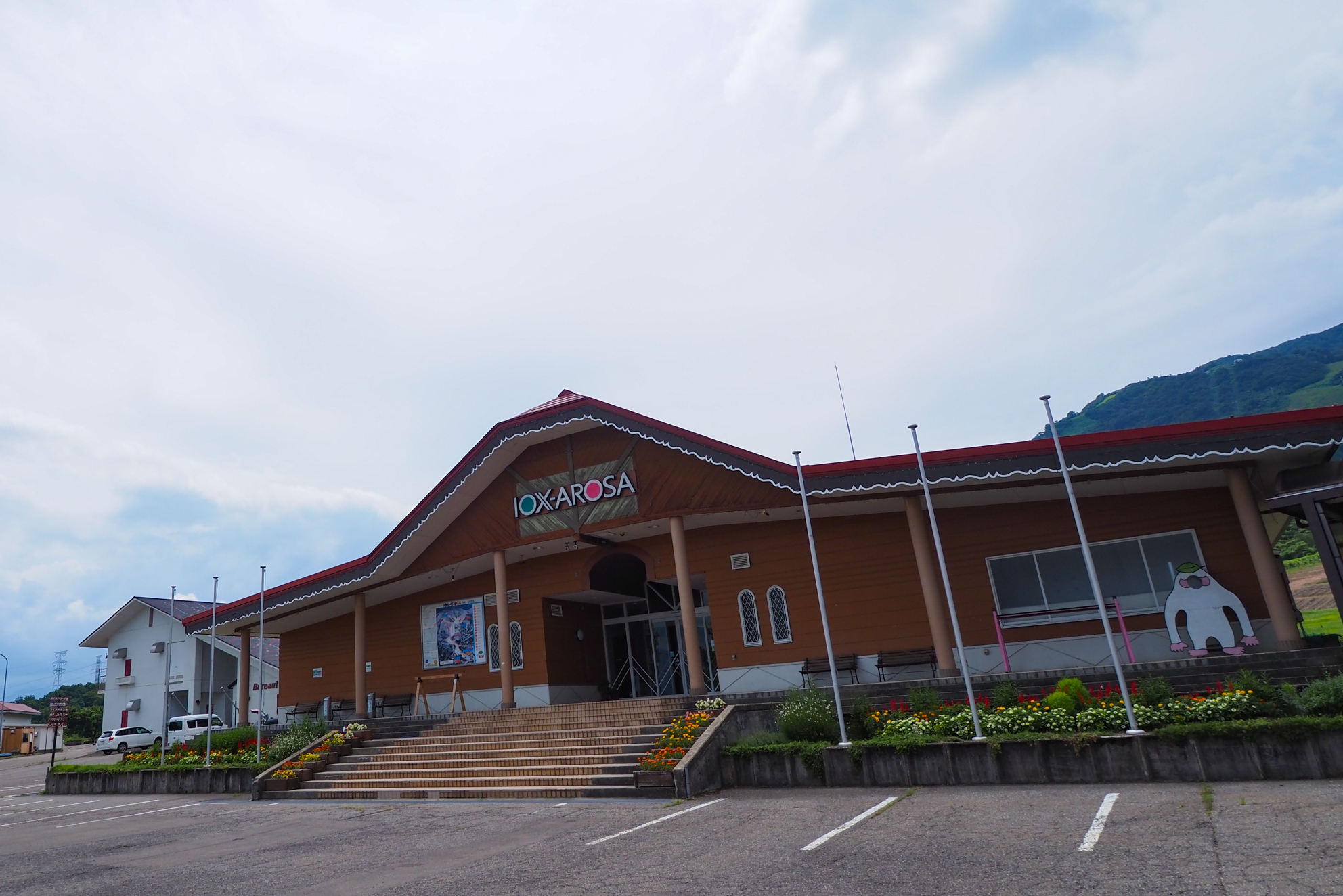
JR城端線「福光駅」をスタート&ゴールとするヒルクライムルート。光徳寺には板画家・棟方志功の所蔵品を展示しており芸術的な雰囲気を感じられる。のどかな田んぼ道を進み「イオックス・アローザ」の案内看板からヒルクライム開始。スキー場までは比較的緩やかで道幅も広く走りやすい。スキー場を過ぎると細い山道に入り傾斜もキツくなる。夕霧峠には展望台があり砺波平野の散居村が広がる。そのまま稜線を走り県道27号に出て道の駅で休憩して福光駅まで戻る
A scenic route that runs through a mountain pass and ridgeline on the border between Toyama and Ishikawa prefectures.
A hill climb route that starts and ends at Fukumitsu Station on the JR Johana Line. Kotoku-ji Temple displays the collection of the panel painter Shiko Munakata, and you can feel the artistic atmosphere. Follow the idyllic rice field road and start the hill climb from the “Iox Arosa” guide sign. The distance to the ski resort is relatively gentle, and the road is wide and easy to drive. After the ski resort, you enter a narrow mountain path, and the slope becomes tough. There is an observatory at Yuugiri Pass, and scattered villages spread out over the Tonami Plain. Continue on the ridge line, take a break at the roadside station, and go back to Fukumitsu station

※オンラインの地図上でサイクリングルートが閲覧できるウェブサイト「ルートラボ」が2020年3月末でサービス終了したため、「bikemap」に変更したことで、bikemap内の距離や高低差に誤差が生じている場合がありますが、ご理解ご了承の程、よろしくお願いします。
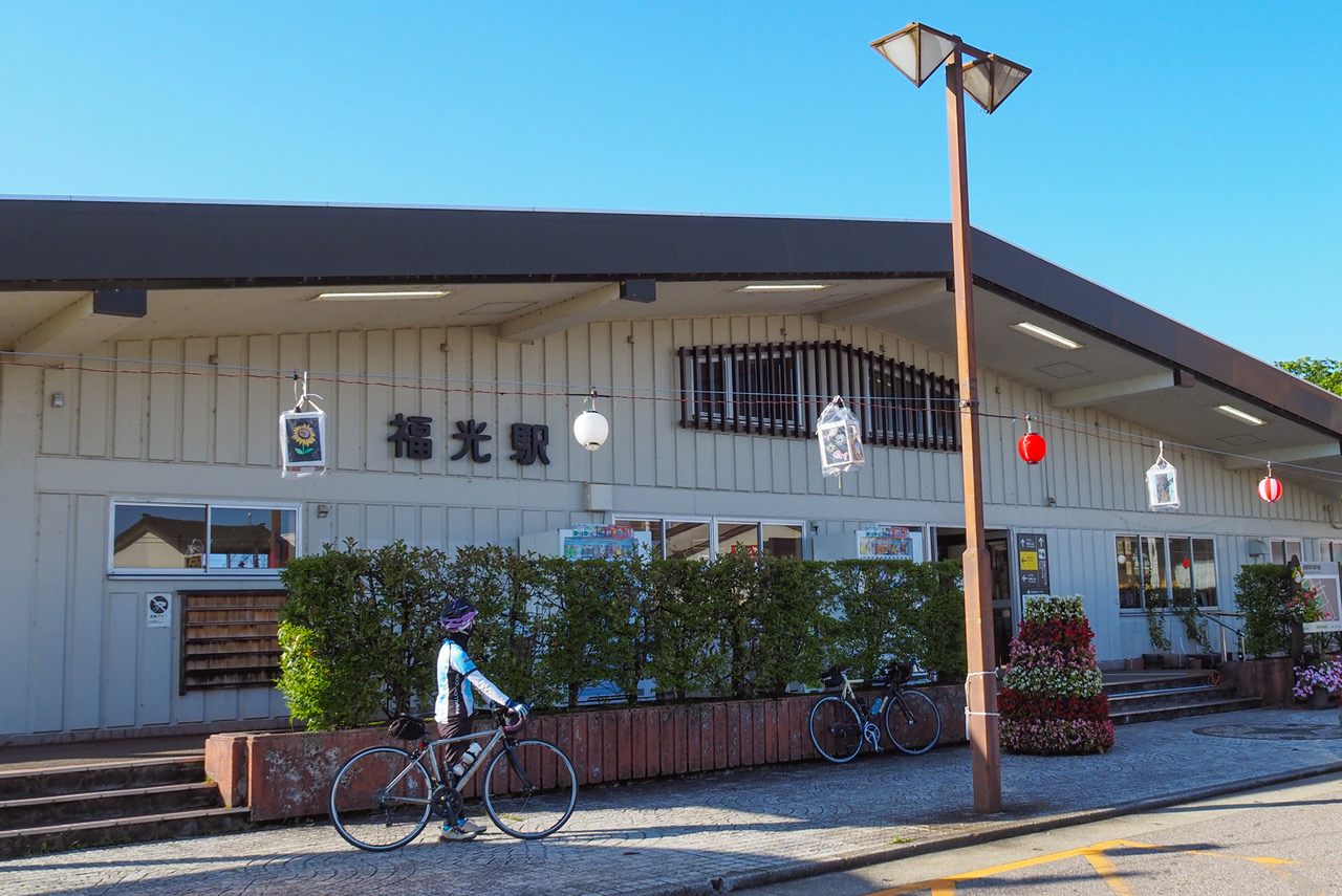
駅の待合室を利用して休憩していただくことができます。待合室内には飲み物の自販機があり、駅の向いには食品スーパーもあります。TOYAMA Free Wi-Fi完備、ラック・お手洗いのみのご利用も可能です。
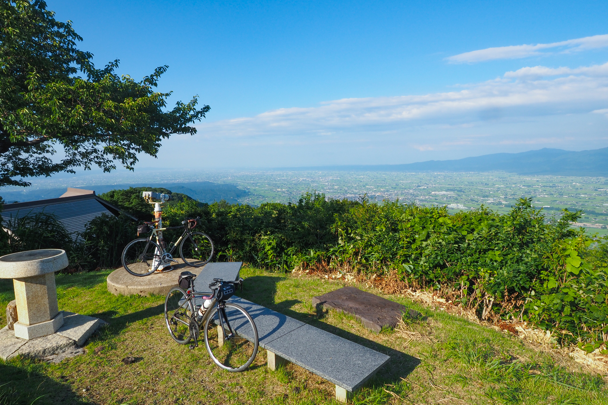
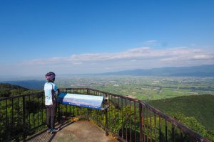
夕霧峠の展望台から砺波平野を一望
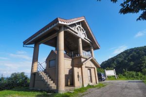
国見公園内にある展望台から見る景色も素晴らしい
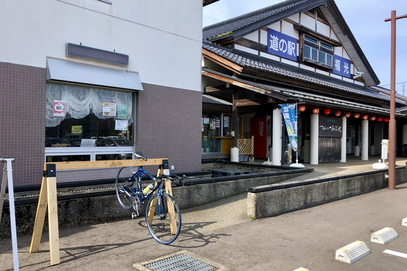
豪農の館をイメージした駅舎、田園風景にマッチした建物がこの地の趣きを感じさせます。農産品の直売など品ぞろえも豊富で、「なんとの特産デパート」的なお店です。
稜線の途中にある「国見ヒュッテ」前からの眺め。管理人が来ている日は売店も開いているので休憩できるポイント
