![]()
![]()
![]()
![]()
![]()
![]()
![]()
![]()


南砺市の代表的な里山「福光・福野・井波・井口・城端」を巡るルート。
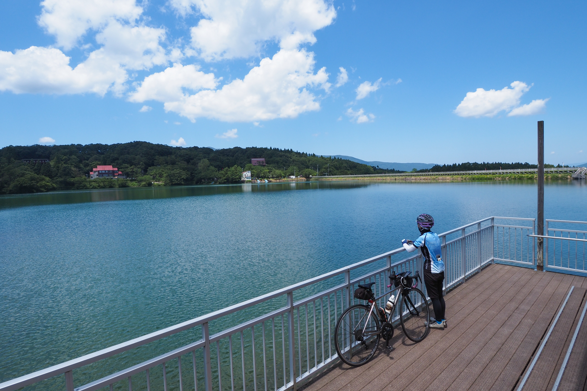
JR城端線「福光駅」をスタート&ゴールとする平坦ルート。福光~福野~井波~井口~城端と南砺市の里山を巡る。世界的板画家の棟方志功が疎開して約6年半過ごした福光エリアを皮切りに、千本桜で有名な小矢部川沿いを北上。田園に広がる散居村の景色を楽しみながら福野エリアに向かう。「旧加越線サイクリングロード」を走り、終点の「旧井波駅舎」から「木彫刻」で有名な井波エリアを散策。円筒分水槽や桜ヶ池などを繋ぎつつグルッと福光駅まで。道幅が広<車通りもさほど多くないルートなので初級者から楽しめる
A route that goes around the representative satoyama “Fukumitsu/Fukuno/Inami/Iguchi/Johana” in Nanto City.
A flat route that starts and ends at Fukumitsu Station on the JR Johana Line. Visit Fukumitsu - Fukuno - Inami - Iguchi - Johana and Satoyama in Nanto City. Starting with the Fukumitsu area where world-renowned panel painter Munakata Shiko spent about six and a half years evacuated, it headed north along the Oyabe River famous for Senbonzakura. Head to the Fukuno area while enjoying the scenery of scattered villages spreading out in the countryside. Ride along the “Old Kagetsu Line Cycling Road” and walk around the Inami area famous for its “wood carvings” from the “Old Inami Station Building” at the end point. While connecting the cylindrical water tank, Sakuragaike, etc., it all the way to Fukumitsu station. The road is wide
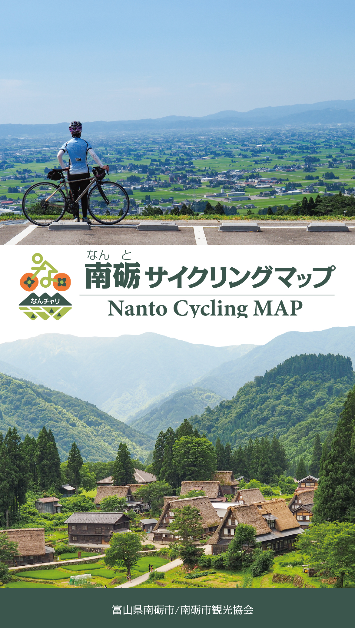
南砺サイクリングマップ
Nanto Cycling MAP
※オンラインの地図上でサイクリングルートが閲覧できるウェブサイト「ルートラボ」が2020年3月末でサービス終了したため、「bikemap」に変更したことで、bikemap内の距離や高低差に誤差が生じている場合がありますが、ご理解ご了承の程、よろしくお願いします。
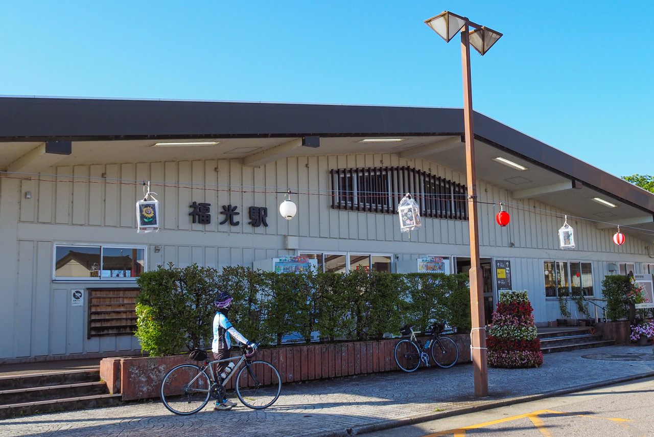
駅の待合室を利用して休憩していただくことができます。待合室内には飲み物の自販機があり、駅の向いには食品スーパーもあります。TOYAMA Free Wi-Fi完備、ラック・お手洗いのみのご利用も可能です。
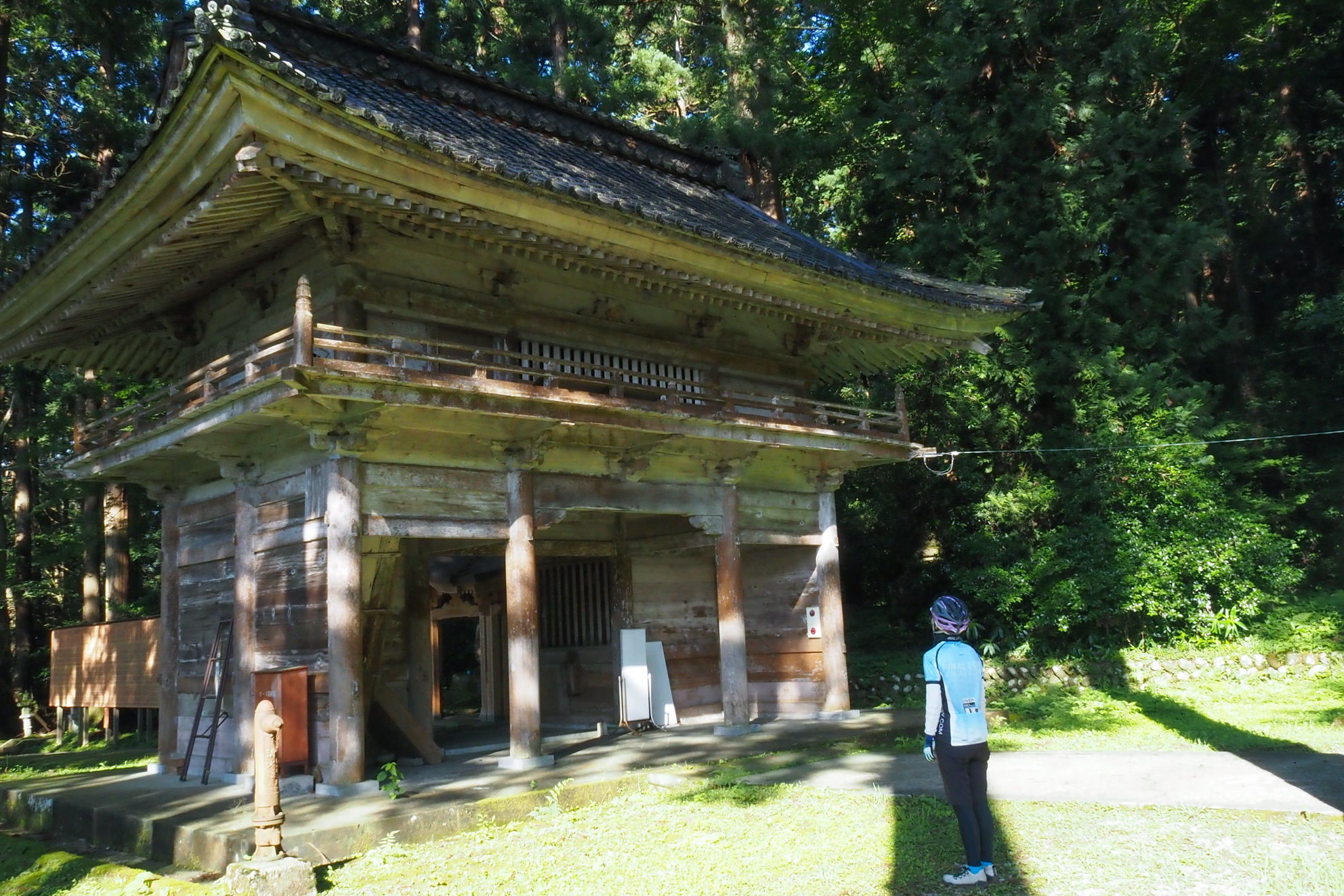
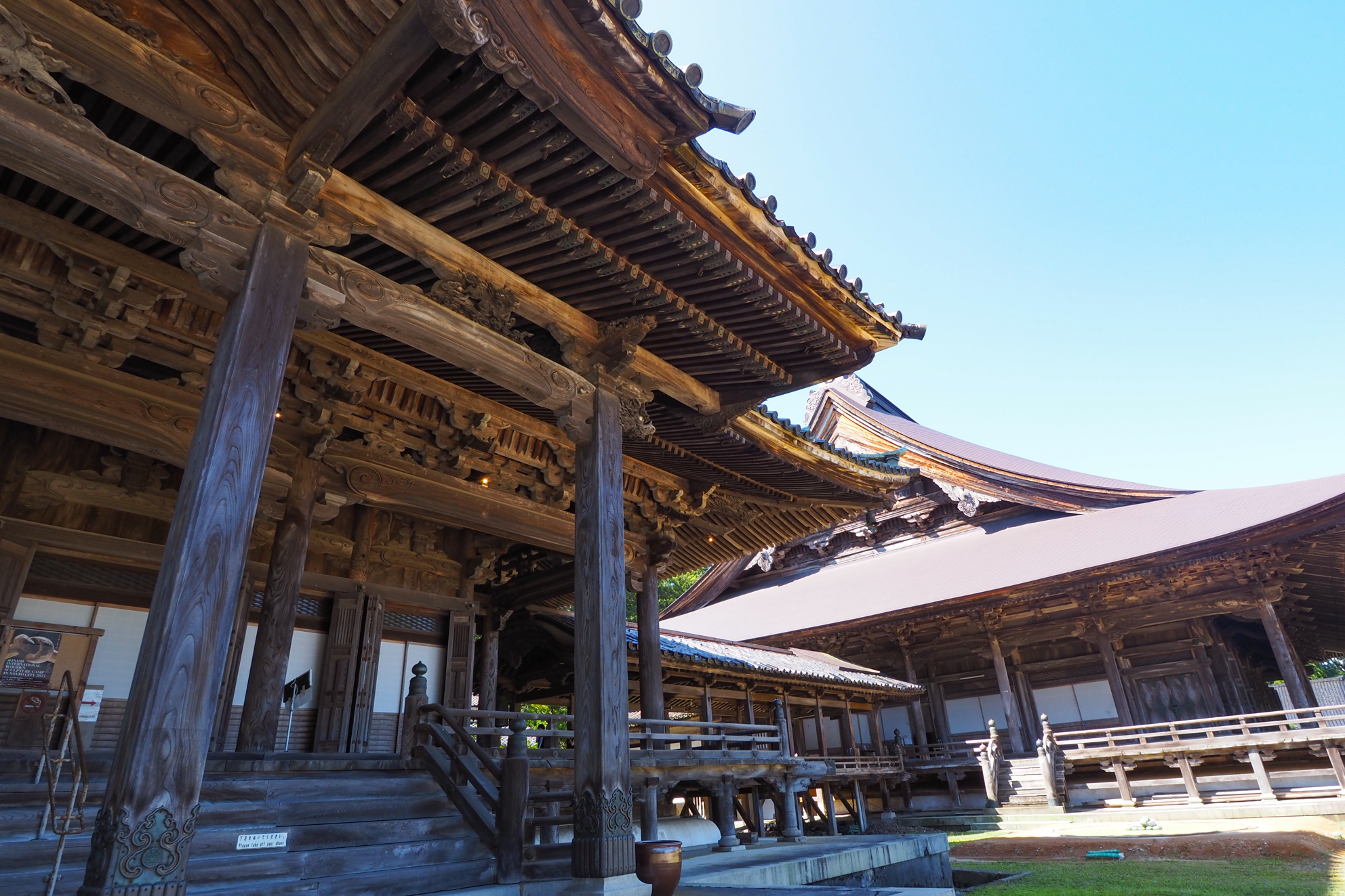
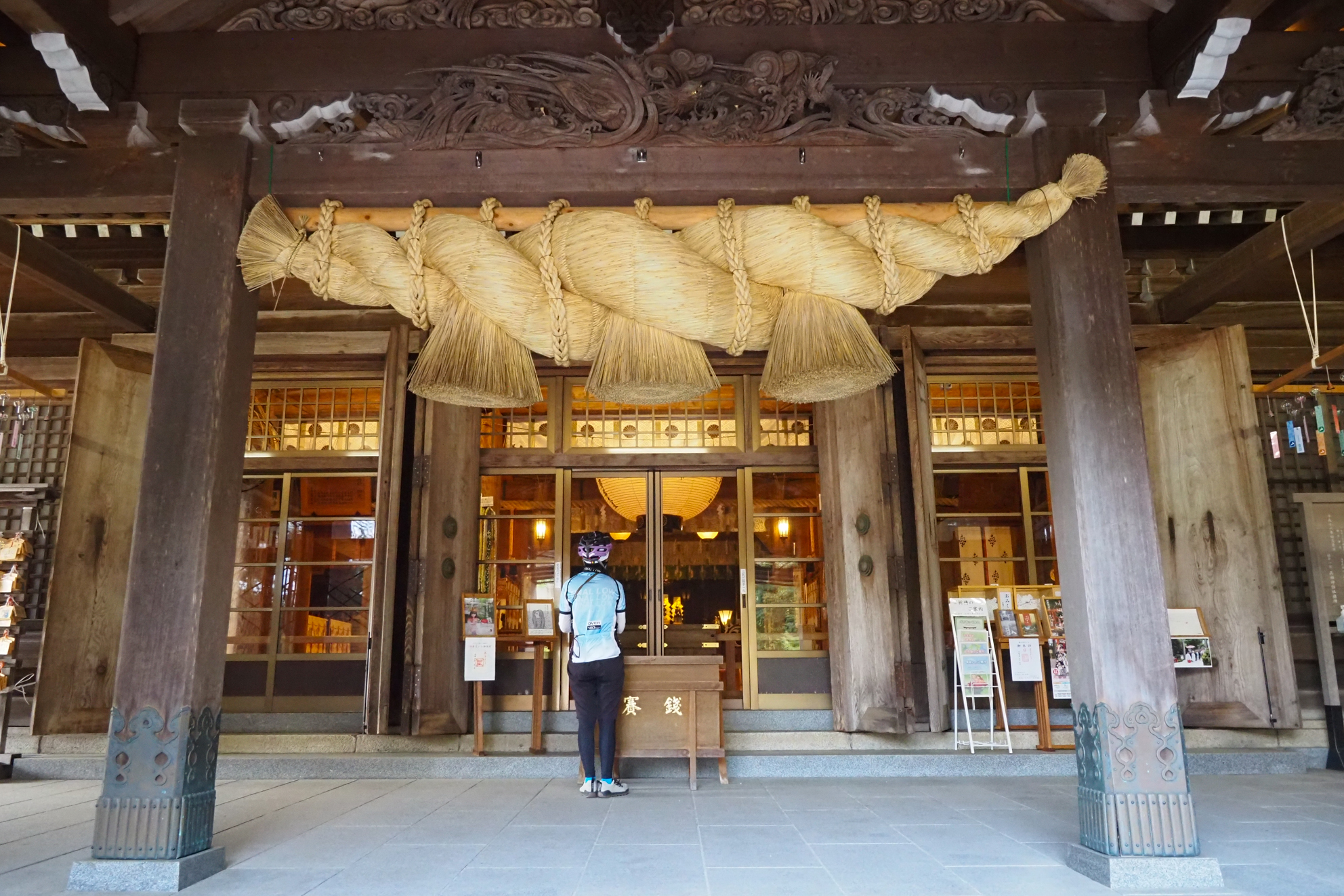
井波彫刻発祥の「瑞泉寺」。天正9年・宝暦12年・明治12年と三度大きな火災により建物が焼失している。再建のために派遣された京都の彫刻師が井波の宮大工に技術を伝えたのが井波彫刻の始まりと言われている。200本のノミを使用し、1本の木から仕上げる井波彫刻の伝統技術が随所に見られる
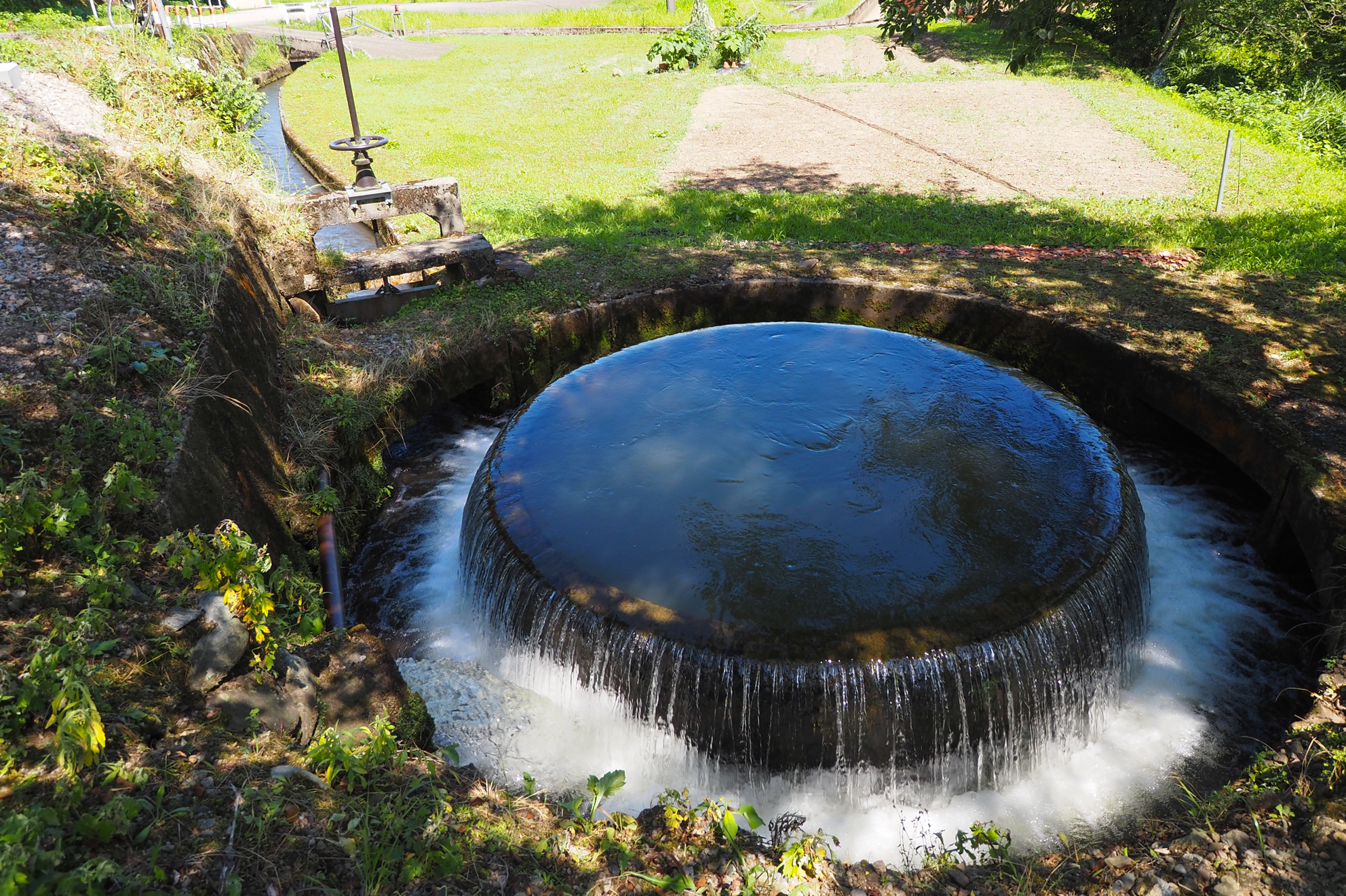
農業用水を公平に分配するために建設された県内最古の赤祖父円筒分水槽。国の登録有形文化財
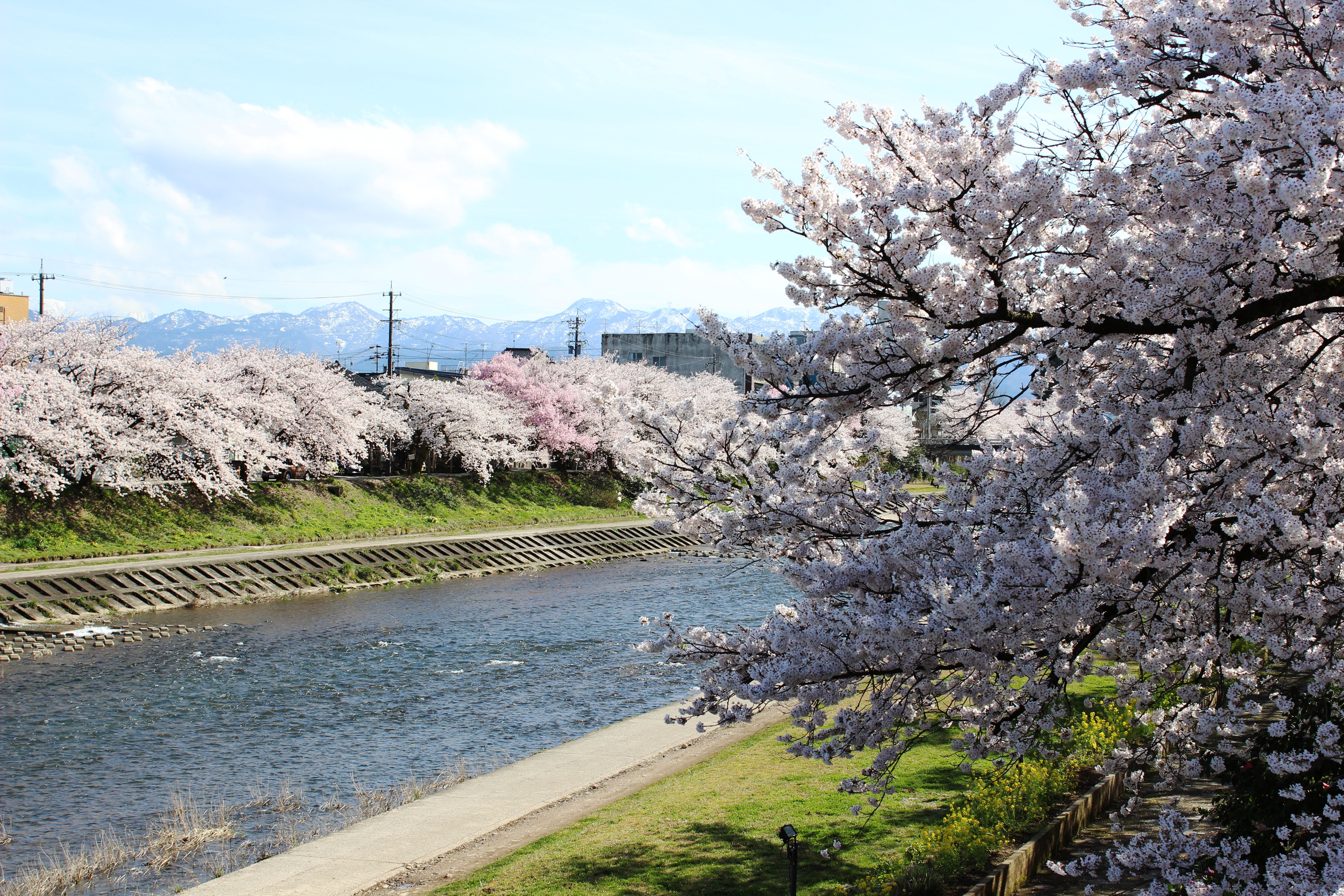
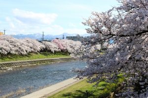
小矢部川沿いの桜は「ふくみつ千本桜」と呼ばれる
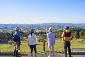
少し高い場所から景色を楽しみたい人向けのオプションルート。道の駅井波から約2km上って散居村展望広場まで向かう。距離は短いが斜度がキツくパンチのあるヒルクライムを楽しめる。ゴールの散居村展望広場では、日本の原風景ともいえる散居村を望める。トイレや東屋があり、のんびり休憩しながら絶景を楽しめるので頑張って上ってみよう
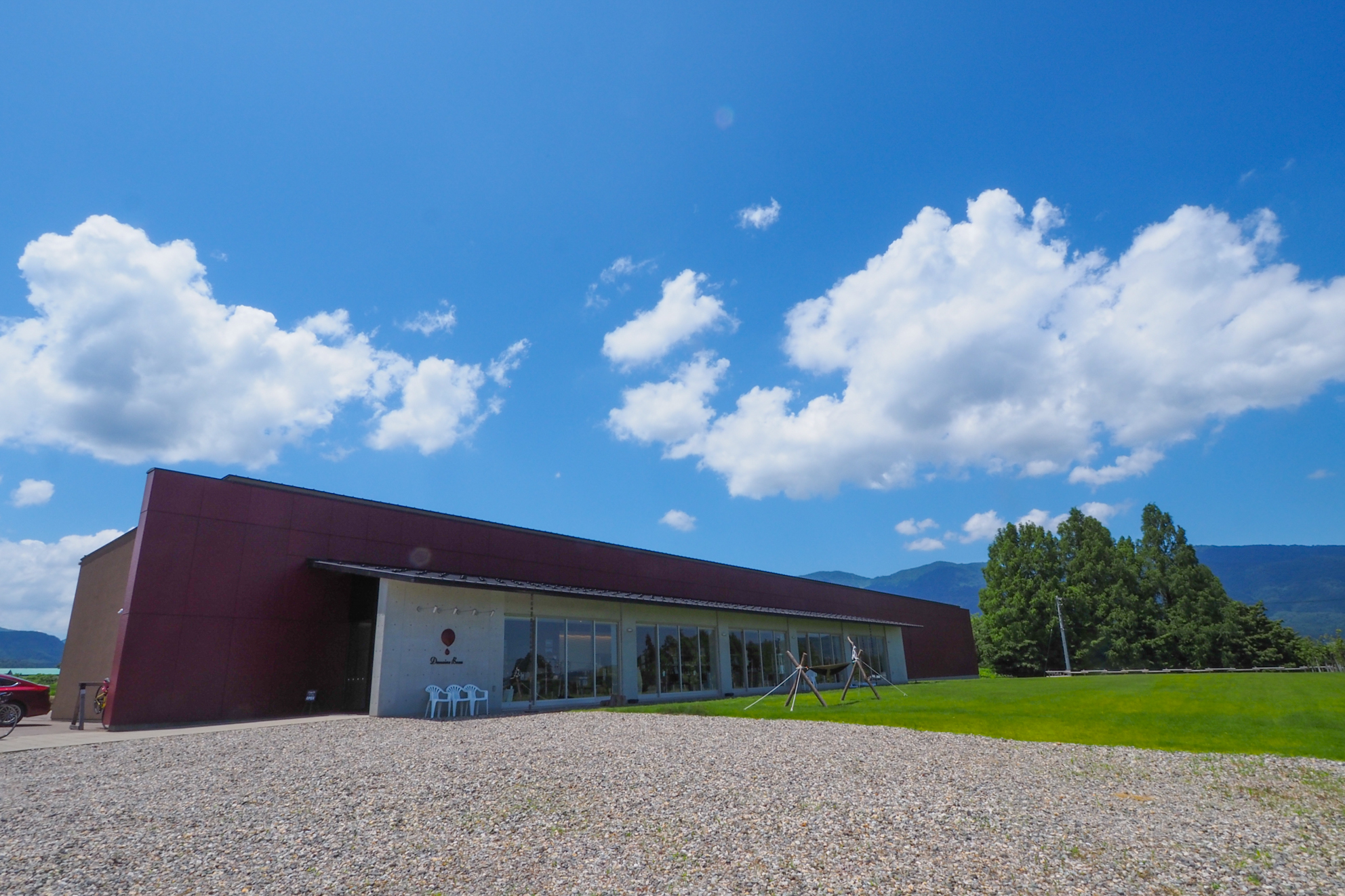
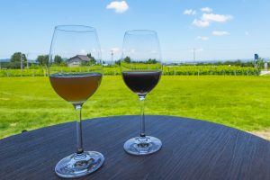
地域に根ざしたワイン造りを目指しているワイナリー。休憩スペースでは、試飲(有料)としてノンアルコールワインをいただける