![]()
![]()
![]()
![]()
![]()
![]()
![]()
![]()
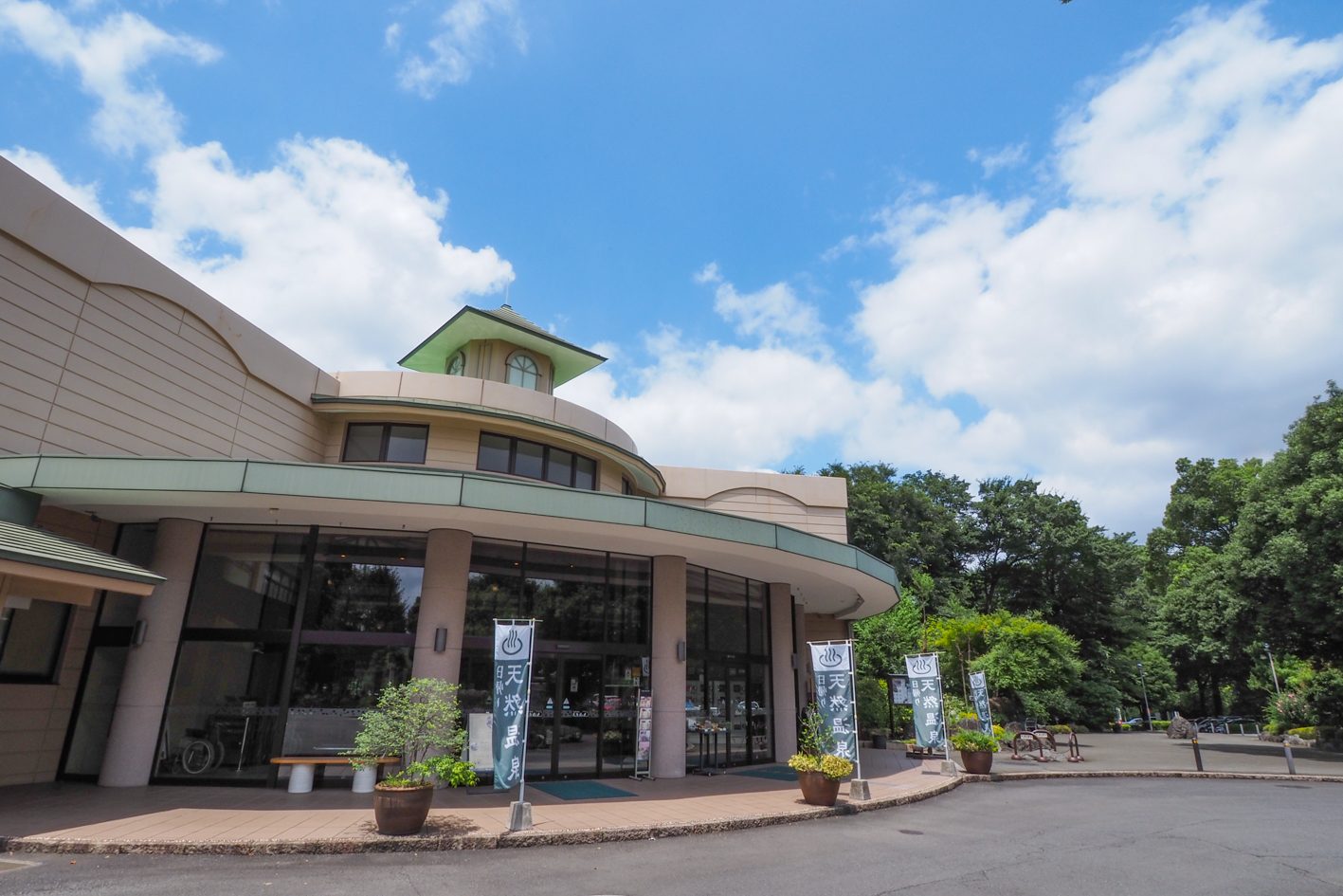


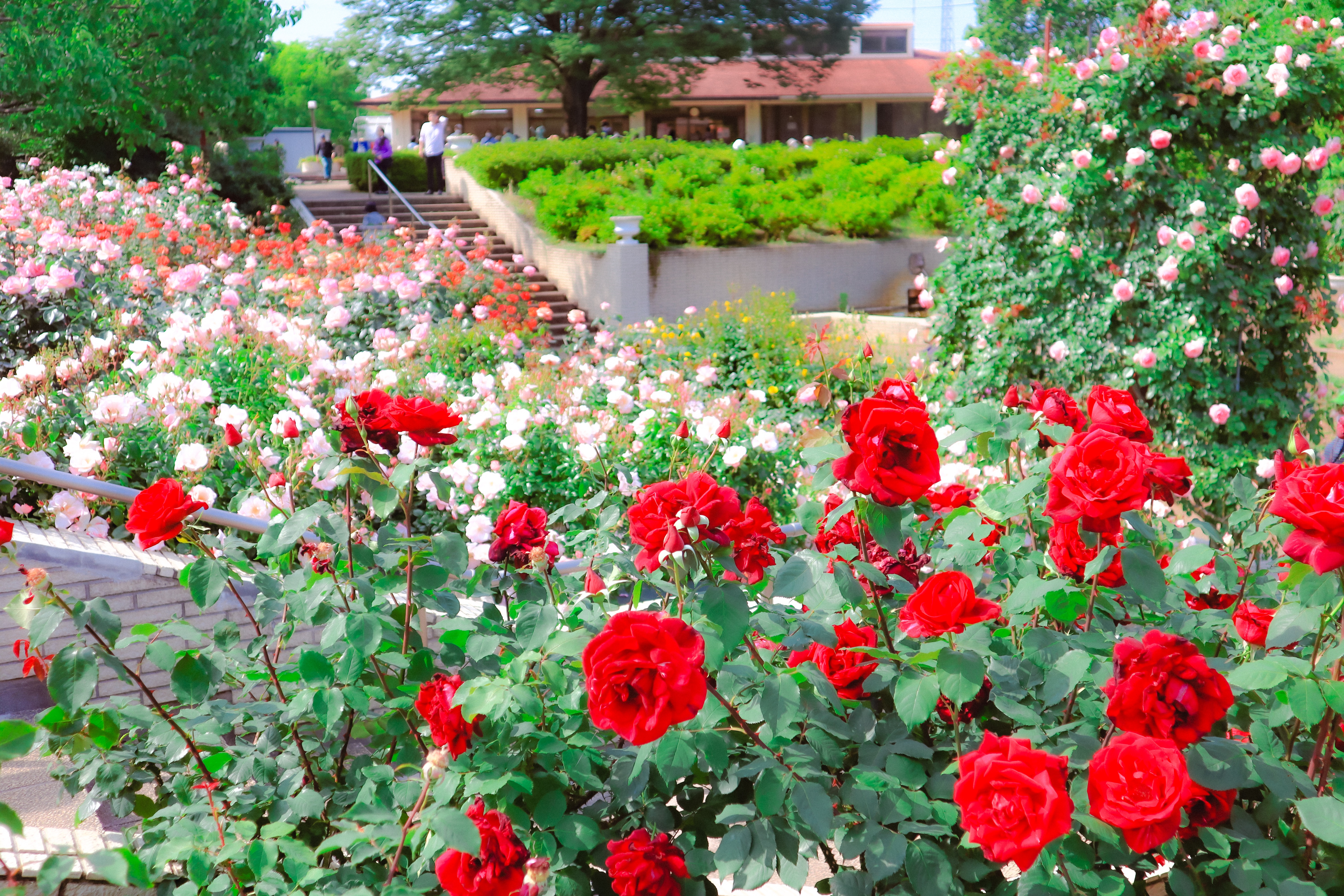
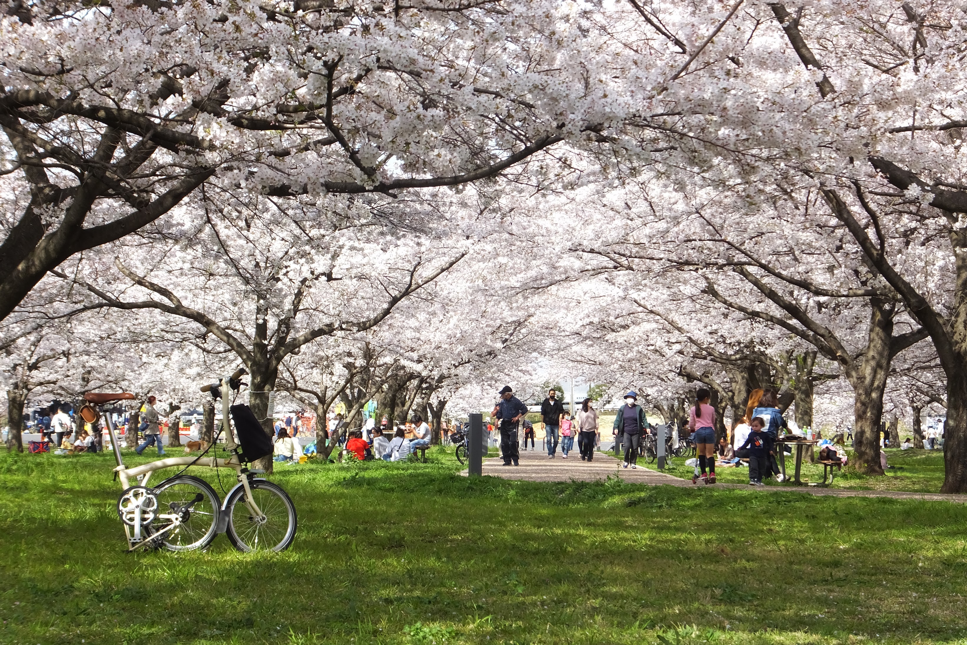
日高市と狭山市を巡るコース。日高市有数の観光スポットで、豚のテーマパークと呼ばれるサイボクをスタートし、入間川サイクリングロードを通ります。サイクリングロードの沿道は、武蔵野の豊かな自然を感じられます。途中の入間川にこにこテラスではカフェもあり、一息つくこともできます。終盤に立ち寄る智光山公園では、こども動物園で動物との触れ合いや、植物園でバラなど四季折々の草花を楽しめるのも魅力です。コースの最後は天然の温泉施設である花鳥風月で、サイクリングの疲れを癒すのもおすすめです。
A course that goes around Hidaka City and Sayama City. It is one of Hidaka City's leading tourist spots, and starts at Cyboku, called a pig theme park, and passes through the Iruma River Cycling Road. Along the cycling road, you can feel the rich nature of Musashino. There is also a cafe on the Iruma River Niko Terrace along the way, so you can take a break. At Chikozan Park, which you stop by at the end of the day, it is also attractive that you can interact with animals at the children's zoo and enjoy seasonal flowers such as roses at the botanical garden. The last stop on the course is Kachofugetsu, a natural hot spring facility, and it is also recommended to heal the fatigue of cycling.
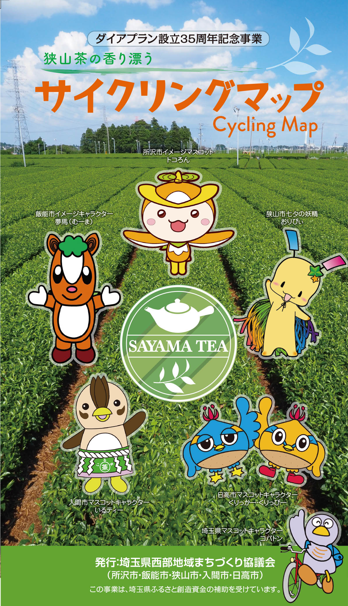
埼玉西部地域まちづくり協議会 (ダイアプラン)とは、同一鉄道沿線にあり、 歴史的にも地理的にもつながりのある所沢市、飯能市、狭山市、入間市、日高市の5市が、魅力あふれる文化都市圏の実現を目指して設立しました。
令和5年度に協議会設立35周年を迎えることから、これを契機として、サイクリングによる5市の周遊、地域のつながりと連携の強化を図るため、マップを発行いたしました。そのため、各ルートをつなげて周遊できるようコースを設定いたしました。
マップ詳細へ※オンラインの地図上でサイクリングルートが閲覧できるウェブサイト「ルートラボ」が2020年3月末でサービス終了したため、「bikemap」に変更したことで、bikemap内の距離や高低差に誤差が生じている場合がありますが、ご理解ご了承の程、よろしくお願いします。
サイボク園内にある日帰り温泉施設。塩分を含んだお湯は保温効果が高く、からだの芯からあたたまる。エステ・あかすり、酵素ルーム、御食事処があり1日楽しめる
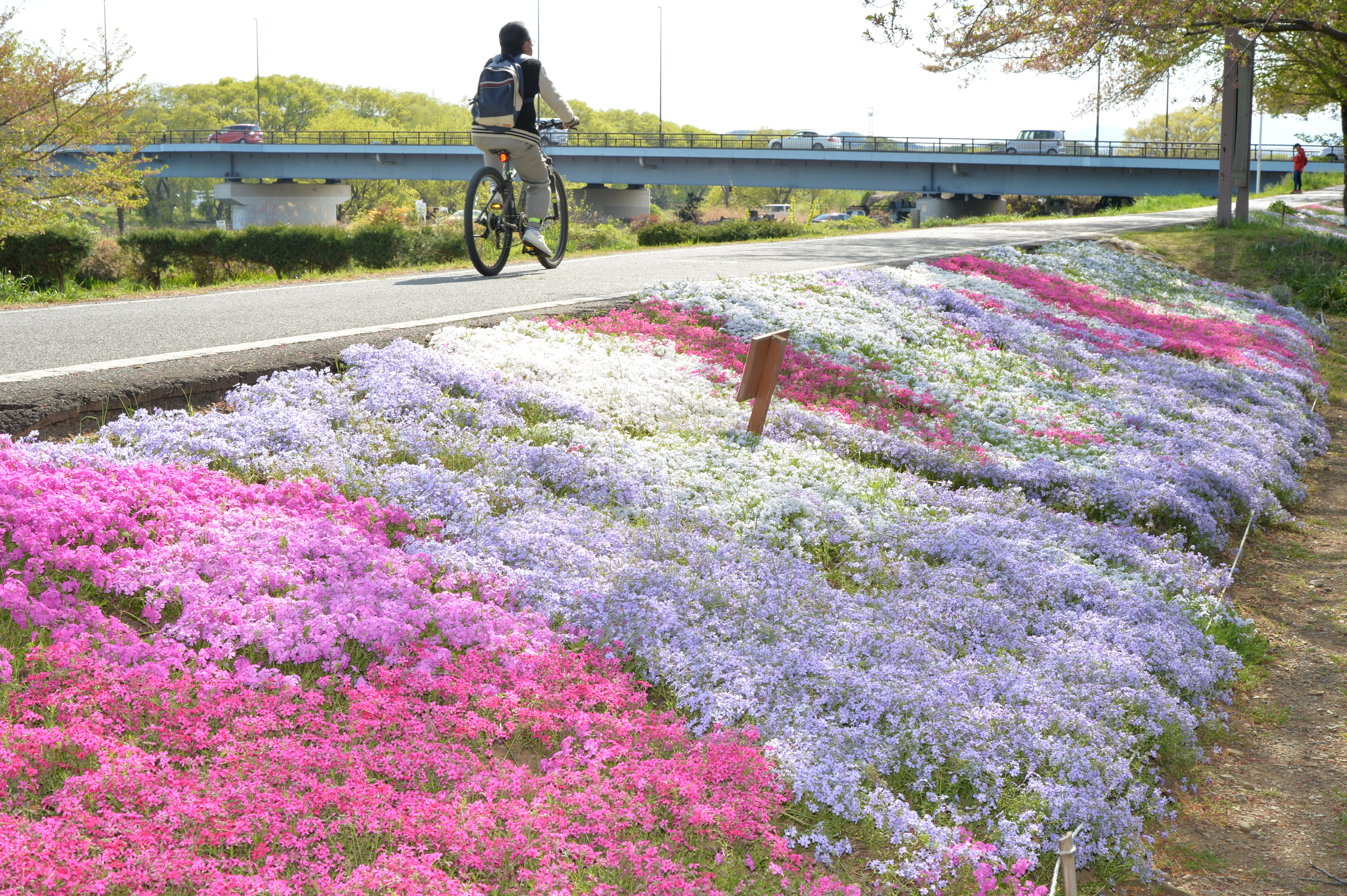
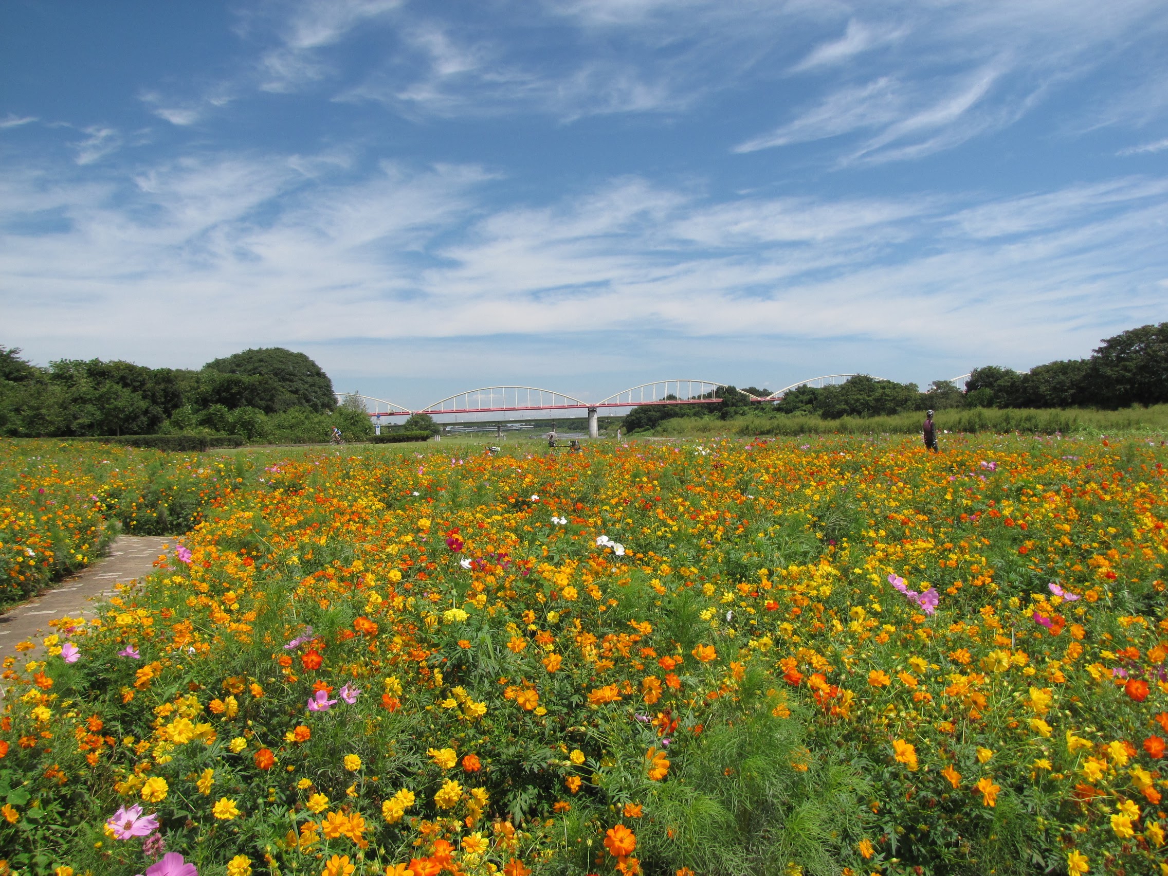
正式名は県道川越狭山自転車道線という。狭山市の豊水橋から川越市の入間大橋まで続く全長約23kmの自転車歩行者専用道路。季節の花を感じながらサイクリングできる
入間川サイクリングロードの途中にある広場で、休日にはキッチンカ―などが出店
官民連携により整備されたスポット。大型遊具やカフェの出店があり賑わっている