![]()
![]()
![]()
![]()
![]()
![]()
![]()
![]()


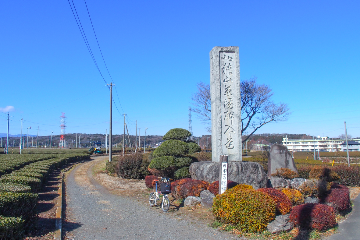

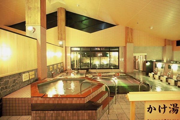


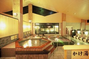
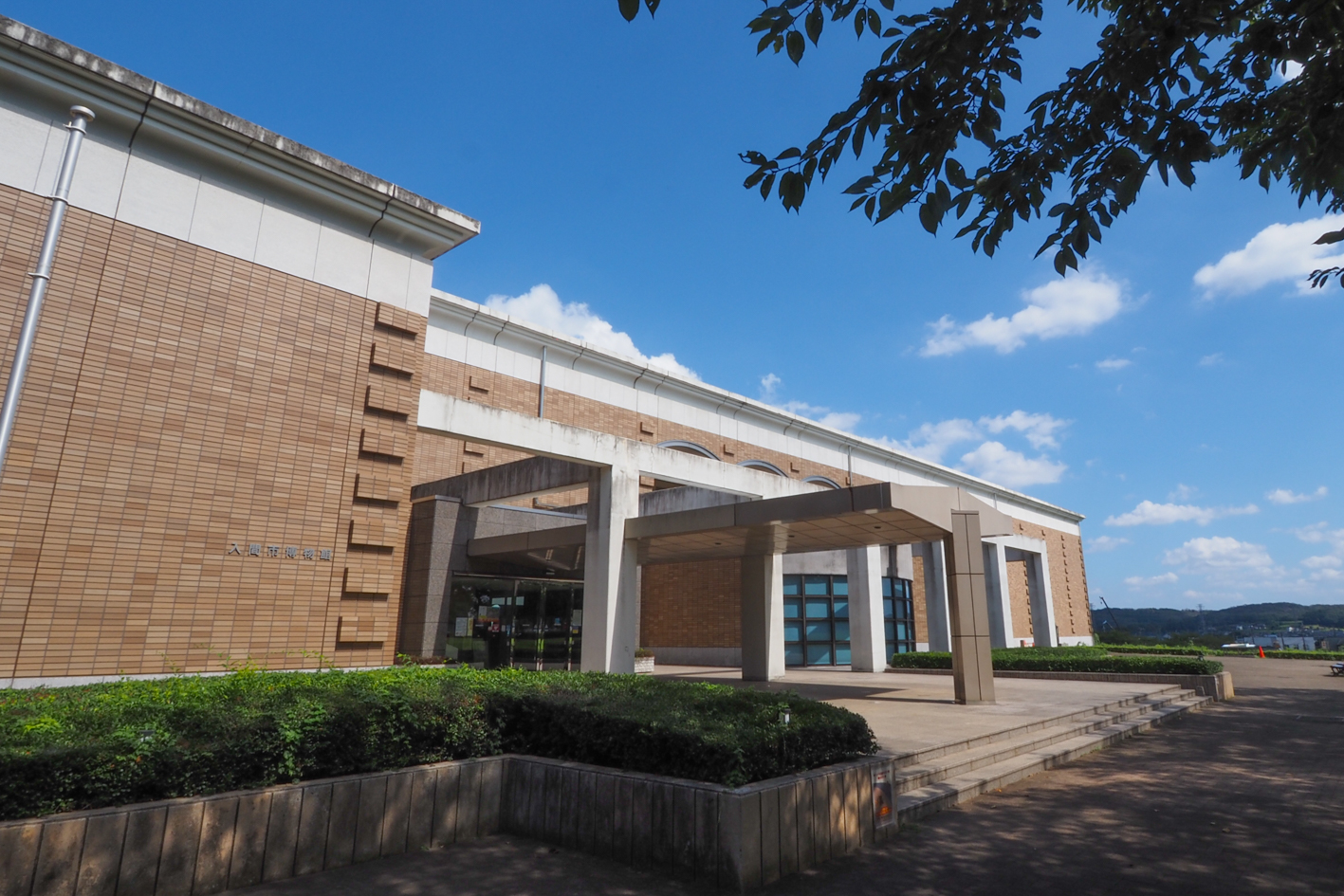
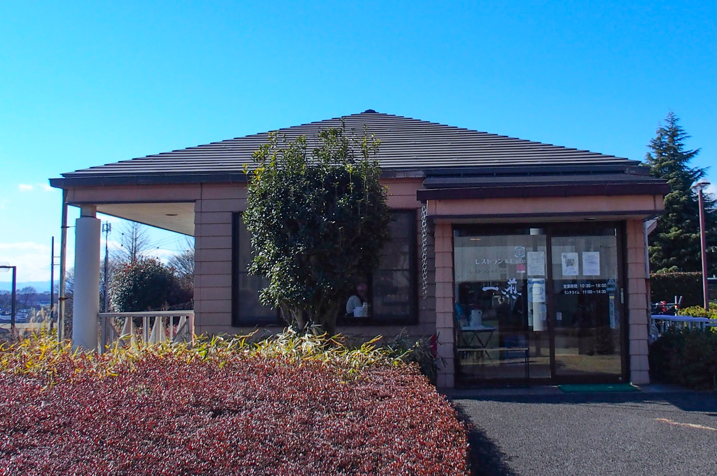
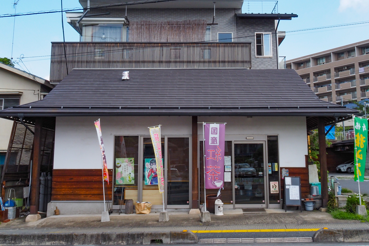
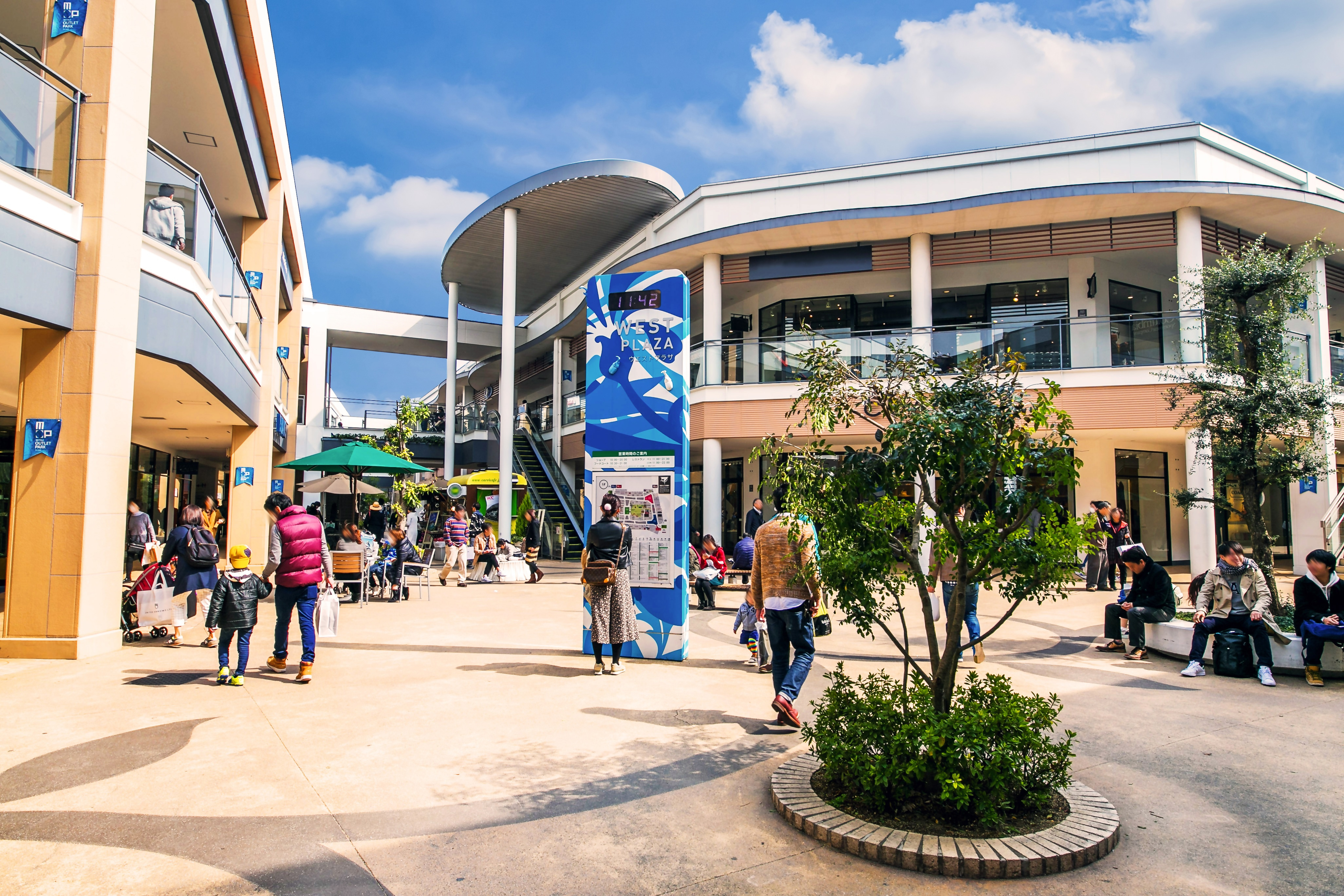
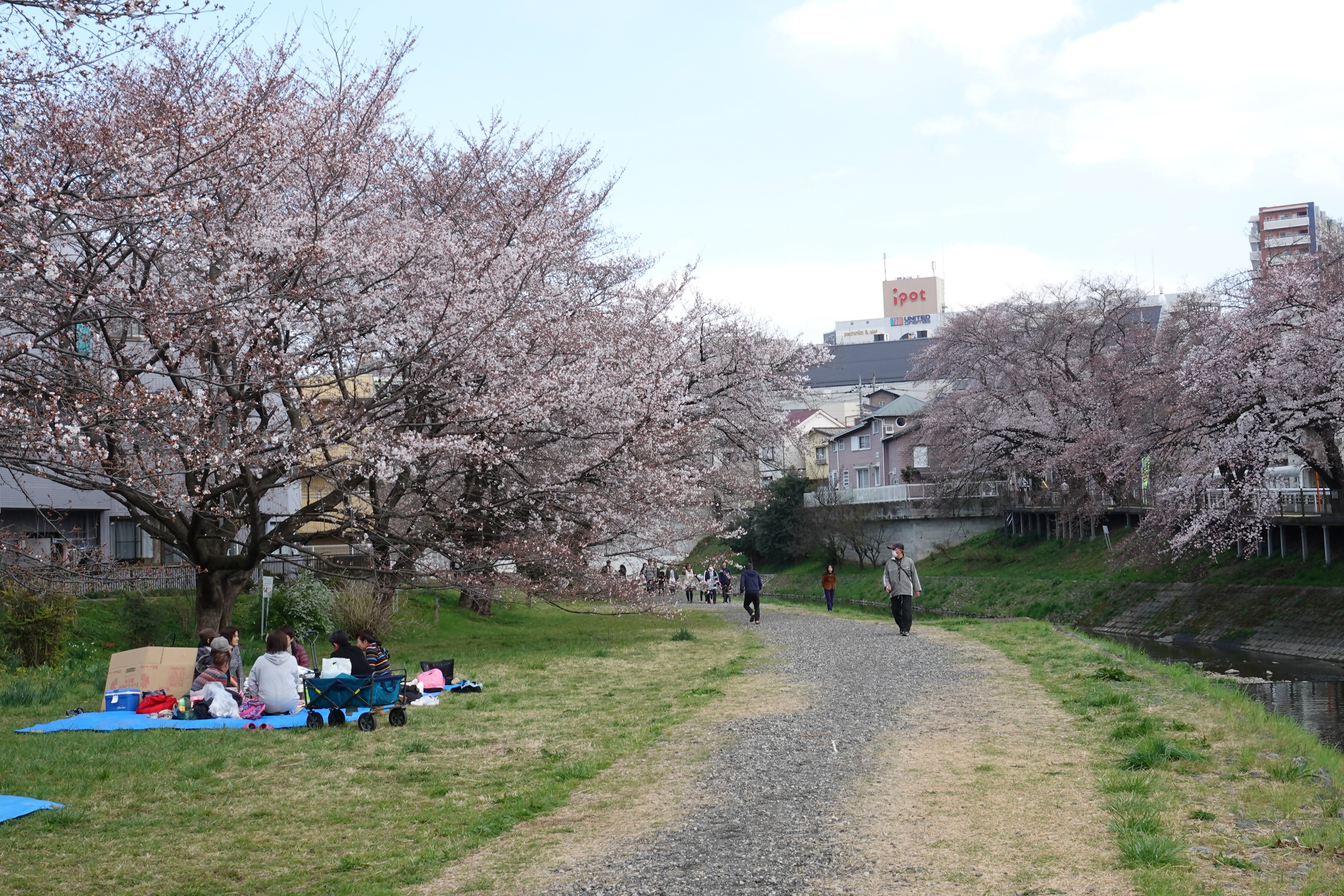
日本一の道標の背景に広がる茶畑からスタートし、見晴らしの良い入間茶業公園を通り、一面茶畑の茶どころ通りを走り抜けると、狭山茶を全身で感じられます。そして、三井アウトレットパーク入間、昭和の歴史が詰まったアメリカの街並みを感じられるジョンソンタウン、四季折々の自然が感じられる彩の森入間公園や愛宕公園、春には100以上の桜が咲く霞川の桜堤など、入間市の魅力を堪能できるコースです。いるまの湯に立ち寄り、サウナや露天風呂で1日の疲れを癒すのもおすすめです。
Starting from the tea field that spreads out in the background of Japan's number one signpost, passing through Iruma Tea Industry Park with a good view, and running through Tea Dori Street with tea fields all over, you can feel Sayama tea with your whole body. Also, it is a course where you can enjoy the charms of Iruma City, such as Mitsui Outlet Park Iruma, Johnson Town, where you can feel the American cityscape filled with Showa history, Aya no Mori Iruma Park and Atago Park where you can feel the nature of each season, and the cherry embankment of Kasumigawa where over 100 cherry blossoms bloom in spring. We also recommend stopping by Irumanoyu and unwind after a long day in the sauna or open-air bath.

埼玉西部地域まちづくり協議会 (ダイアプラン)とは、同一鉄道沿線にあり、 歴史的にも地理的にもつながりのある所沢市、飯能市、狭山市、入間市、日高市の5市が、魅力あふれる文化都市圏の実現を目指して設立しました。
令和5年度に協議会設立35周年を迎えることから、これを契機として、サイクリングによる5市の周遊、地域のつながりと連携の強化を図るため、マップを発行いたしました。そのため、各ルートをつなげて周遊できるようコースを設定いたしました。
マップ詳細へ※オンラインの地図上でサイクリングルートが閲覧できるウェブサイト「ルートラボ」が2020年3月末でサービス終了したため、「bikemap」に変更したことで、bikemap内の距離や高低差に誤差が生じている場合がありますが、ご理解ご了承の程、よろしくお願いします。
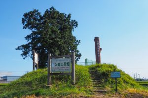
茶畑が広がる「いちょう通り」の脇にある「北狭山茶場碑入道」と彫られた高さ4.1mの道標。ギネスブックにも登録されていたことがある
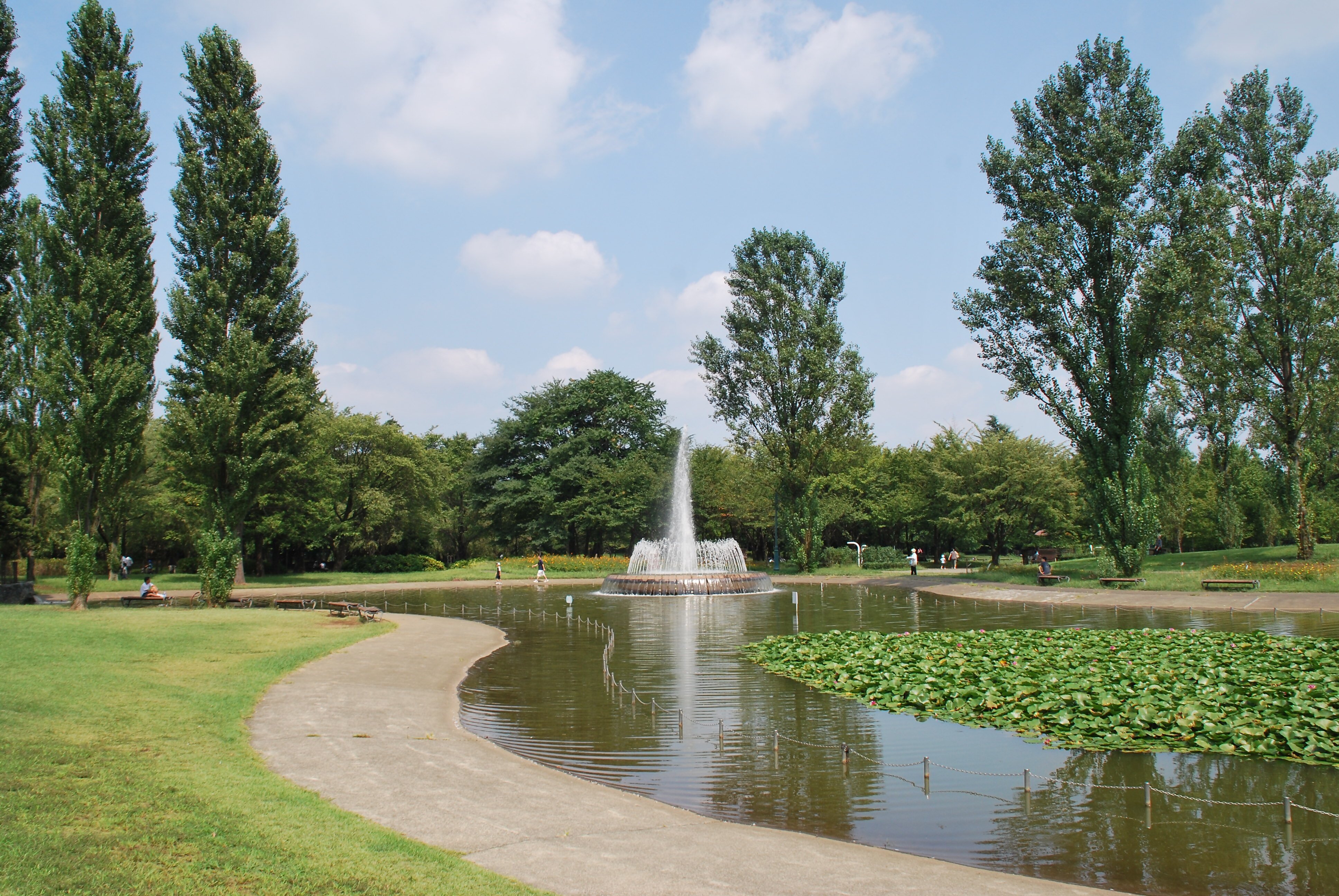
小高い丘になっており、茶畑を一望できるデッキがある。

昭和61年の市制施行20周年記念事業の一環として、茶畑の中を走る道の愛称を募集し「茶どころ通り」と名付けられた。景観50選にも選ばれており、空の広さを感じる道