


![]()
![]()
![]()
![]()
![]()
![]()
![]()
![]()
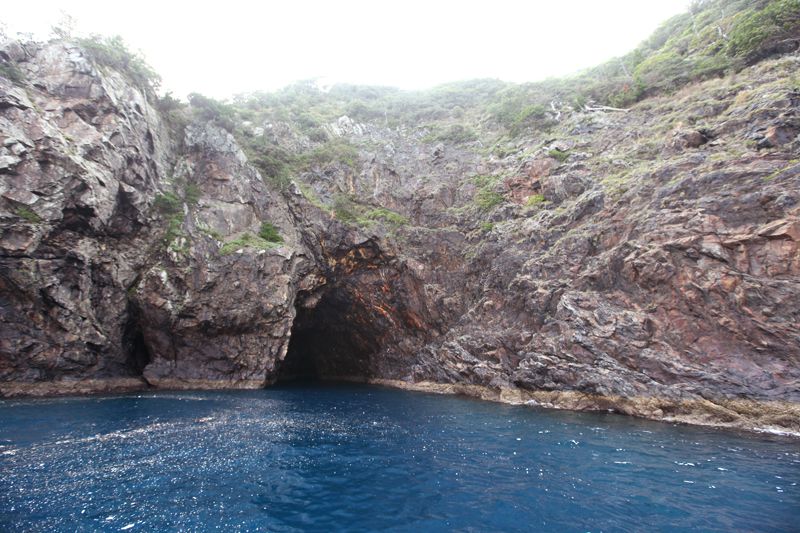
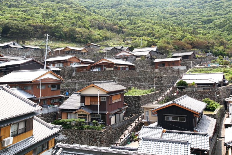

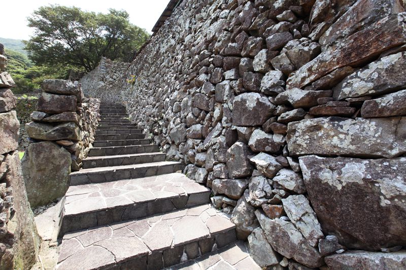


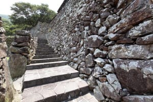
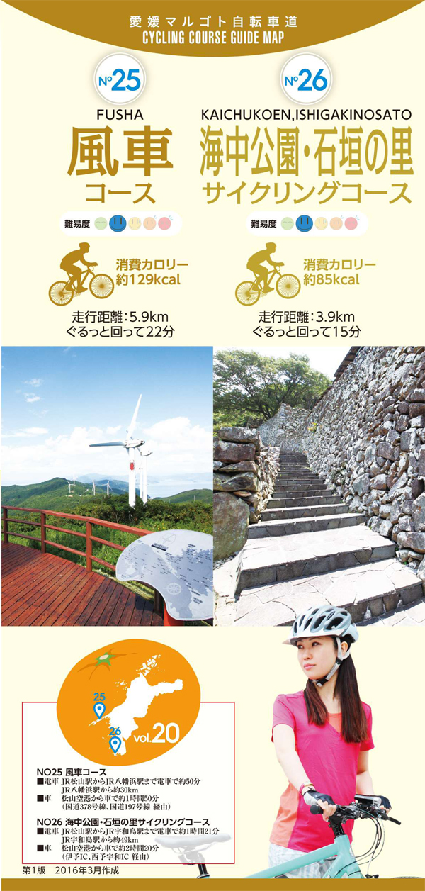
内泊、中泊の昔ながらの漁村風景が続く集落と、リアス式海岸特有の入り組んだ海岸線が作り出す景色を眺めながら折り返し地点の外泊地区へ。冬の季節風を防ぐため高い石垣で囲まれた城砦のような石垣集落は見ごたえがある。比較的距離は短いけれど、アップダウンが繰り返す体力・技術の必要なコースなので、ペースを考えながらゆっくり走りたい。
Take a look at the village where the old-fashioned fishing village scenery of inland and nakadomari continues, and the scenery created by the intricate coastline peculiar to Rias style coasts, and the toodomari district at the turnaround point. The Ishigaki village, which looks like a castle fortress surrounded by tall stone walls to prevent winter monsoon winds, is worth seeing. Although the distance is relatively short, it is a course that requires physical strength and skill with repeated ups and downs, so I want to run slowly while thinking about the pace.
しまなみ海道を中心に全県域を誰もが自転車に親しみ、誰もが自転車を楽しめる「愛媛マルゴト自転車道」を展開することで、“愛媛がサイクリングパラダイス”となることを目指している。
マップ詳細へ※オンラインの地図上でサイクリングルートが閲覧できるウェブサイト「ルートラボ」が2020年3月末でサービス終了したため、「bikemap」に変更したことで、bikemap内の距離や高低差に誤差が生じている場合がありますが、ご理解ご了承の程、よろしくお願いします。


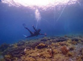
冬でも水温が15度以下になることがない熱帯魚の楽園は、四国随一のダイビングスポット。その幻想的な美しさを海中展望船で眺められる。
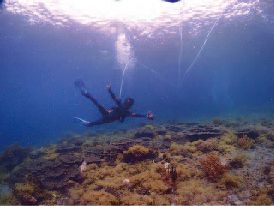
シーウォーカーは専用のヘルメットを被るだけでお子様からお年寄りまで誰でも気軽に海中散歩を楽しむことができる。簡単な事前講習を受けたらいざ海中へ。顔は濡れないのでメガネをかけたままでOK。海中では、カラフルなサンゴや熱帯魚が沢山泳いでおり地上では味わえない絶景が広がっている。

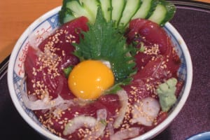
愛南町の食材を使った大地の恵みの味がするパニーノ。多くの人においしく安全な食材を食べて欲しいと、オーナーみずから畑に出て、土作りからスタートし野菜などを栽培。媛っ子地鶏を使ったパニーノは、表面さっくり、中身はもちもちで旨味が凝縮している。
