


![]()
![]()
![]()
![]()
![]()
![]()
![]()
![]()


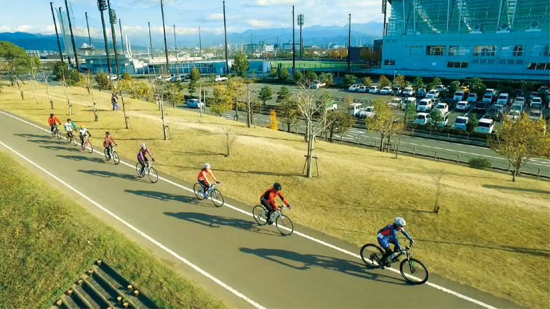
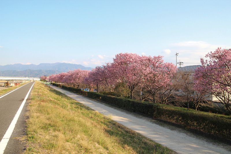

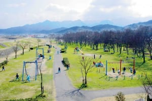
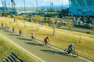


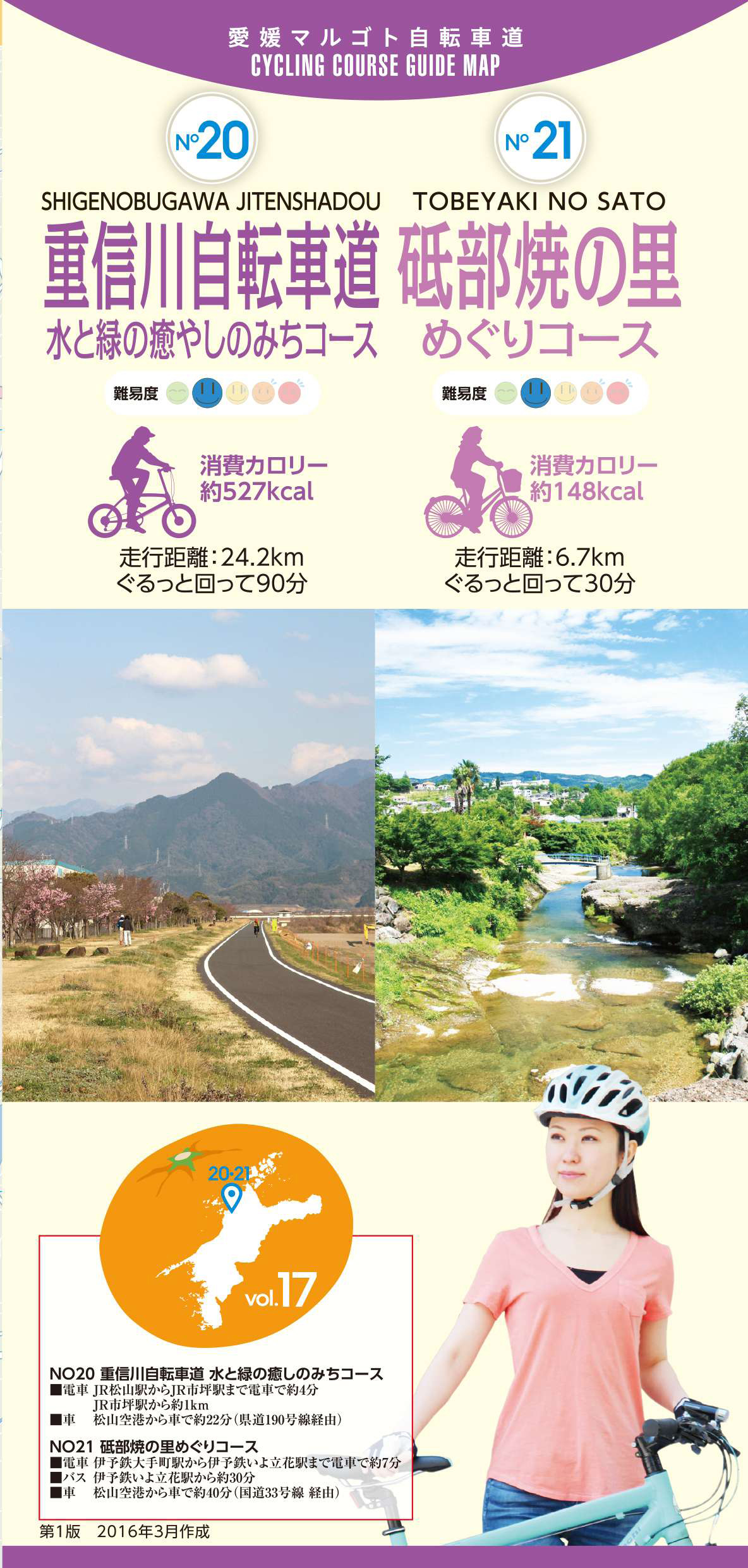
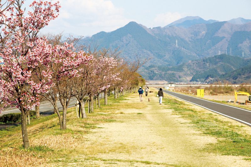
重信川の河川敷を利用し、松山市から東温市に至る延長 25kmの自転車歩行車道の重信川自転車道を巡るコース。緑豊かな自然や清水が湧き出る大小さまざまな泉、野鳥さえずりなど、川沿いの自然環境を満喫することができる。コース途中には公園や休憩スポットも多く、少し足をのばせばとべ動物園やえひめこどもの城などもある。
Using the riverbed of the Shigenobu River, this course goes around the Shigenobu River Bicycle Path, a 25-kilometer long bicycle walking path from Matsuyama City to Toon City. You can fully enjoy the natural environment along the river, such as lush nature, springs of various sizes with fresh water gushing out, and chirping wild birds. There are many parks and rest spots along the course, and if you go a little further, there are also places such as Tobe Zoo and Ehime Children's Castle.
しまなみ海道を中心に全県域を誰もが自転車に親しみ、誰もが自転車を楽しめる「愛媛マルゴト自転車道」を展開することで、“愛媛がサイクリングパラダイス”となることを目指している。
マップ詳細へ※オンラインの地図上でサイクリングルートが閲覧できるウェブサイト「ルートラボ」が2020年3月末でサービス終了したため、「bikemap」に変更したことで、bikemap内の距離や高低差に誤差が生じている場合がありますが、ご理解ご了承の程、よろしくお願いします。

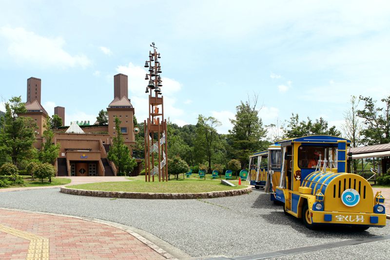
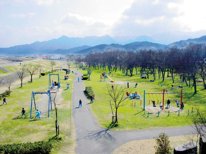
様々な体験活動を行うことができる園内には「こどものまち」、「イベント広場」、「創造の丘」、「冒険の丘」、「ふれあいの森」のゾーンがある。


松山中央公園内にある野球場。『波のうねり』・『鳥の翼』を連想するブーメラン上の大屋根と『おむすび形平面』スタンドが特徴。
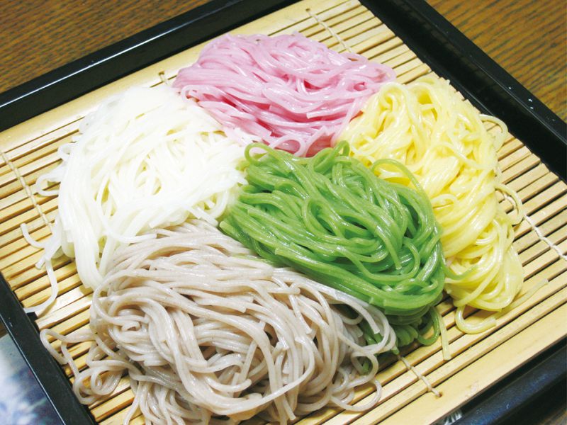
赤色は梅肉、黄色は鶏卵、茶色はそば粉、緑色は抹茶を使用し、人工着色料を一切使用せずに作られ、歯ごたえやのど越しの良さは格別。
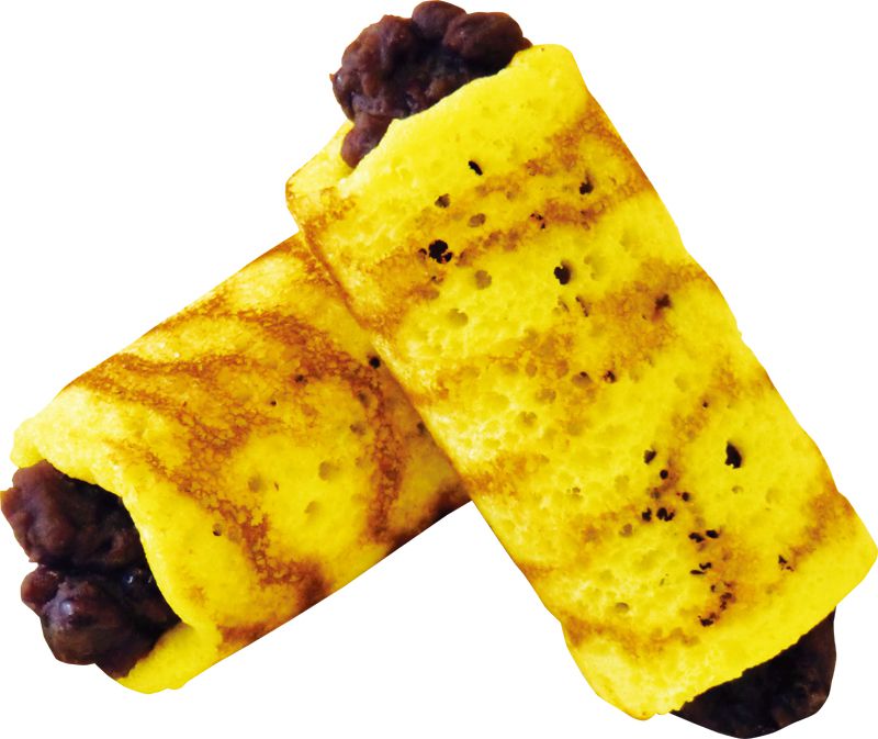
熱い鉄板に専用の紙を敷き、生地を流し込んで生まれたトラ模様の生地。生地はとても柔らかく、甘さ控えめな餡ととても相性が良いお菓子。
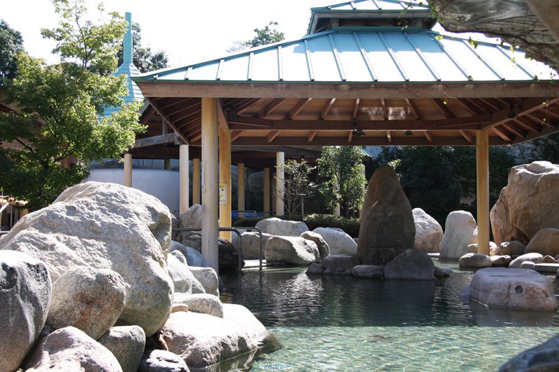
約7500万年前の砂岩の割れ目から湧出した厳選を使用した開放感溢れる露天風呂のある温泉宿泊施設。様々な湯でのんびりとくつろぐことができる。
