


![]()
![]()
![]()
![]()
![]()
![]()
![]()
![]()
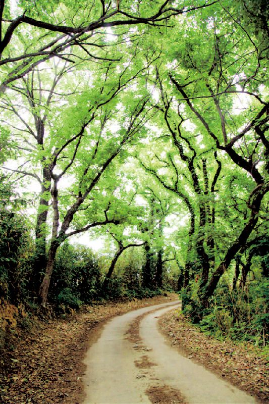

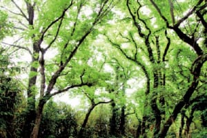

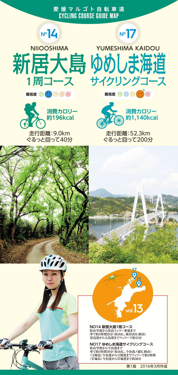
新居浜市の北東約1.5km沖にある周囲約8kmの新居大島の沿岸を一周するコース。対岸に見える新居浜市内の工業地帯や燧灘の島々など、変化に富んだ風景を眺めながら、潮風に吹かれてのんびりとライドが楽しめる。島内には村上水軍の拠点や縁の場所もあり、新居浜黒島港から15分で片道60円、定期フェリーが1時間に1本運行されている。
This course goes around the coast of Arai Oshima with a circumference of about 8 km, which is about 1.5 km northeast of Niihama City. You can enjoy a leisurely ride blown by the sea breeze while admiring the varied scenery, such as the industrial area of Niihama city and the islands of the Hiuchinada that can be seen on the opposite bank. There are also bases and connections to the Murakami Navy on the island, and a regular ferry runs once an hour for 60 yen one way in 15 minutes from Niihama Kuroshima Port.
しまなみ海道を中心に全県域を誰もが自転車に親しみ、誰もが自転車を楽しめる「愛媛マルゴト自転車道」を展開することで、“愛媛がサイクリングパラダイス”となることを目指している。
マップ詳細へ※オンラインの地図上でサイクリングルートが閲覧できるウェブサイト「ルートラボ」が2020年3月末でサービス終了したため、「bikemap」に変更したことで、bikemap内の距離や高低差に誤差が生じている場合がありますが、ご理解ご了承の程、よろしくお願いします。
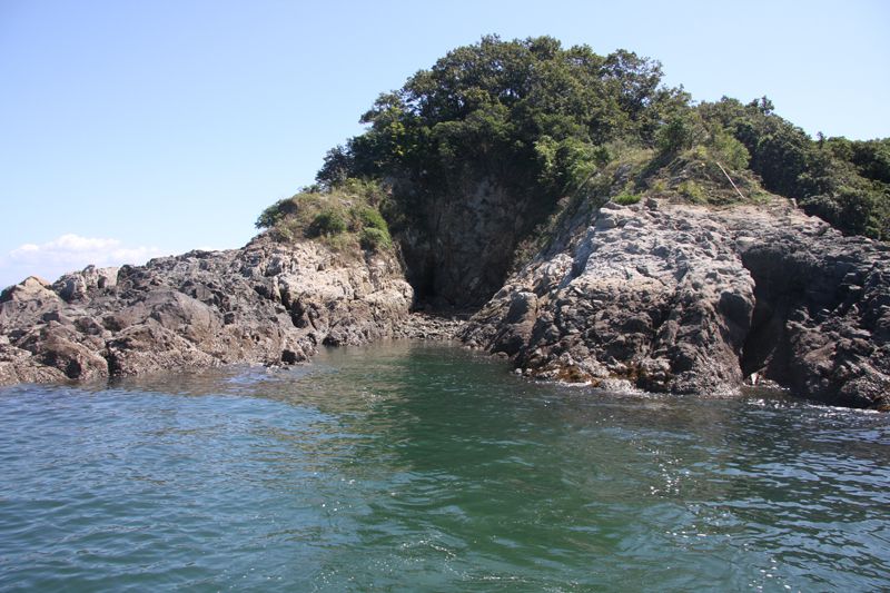
村上水軍の軍船を隠していたとされる場所であり、干潮時に見ることができる。古来から交通の要衝となっていた新居大島は、古文書の記録や島内で城跡が発見されたことから、村上水軍の統領であった村上義弘の生誕地とも言われている。
