


![]()
![]()
![]()
![]()
![]()
![]()
![]()
![]()


美しい瀬戸内海を横目に、爽やかな潮風を感じながらのんびりと巡航できる高低差の少ないコース。日中の真っ青な海、夕日に染まった海、時間帯ごとに違った美しさを見せる景色を楽しめる。ただし、海岸沿いの国道196号線は路肩が狭く、大型車両の通行量が多いこともあり注意を必要とすることがある。
A course with few differences in elevation where you can enjoy a leisurely cruise while feeling the fresh sea breeze with the beautiful Seto Inland Sea side by side. You can enjoy the deep blue sea during the day, the sea dyed in the sunset, and the scenery showing different beauty depending on the time of day. However, the road shoulder of National Route 196 along the coast is narrow, and there may be a lot of traffic for large vehicles, so care may be required.
しまなみ海道を中心に全県域を誰もが自転車に親しみ、誰もが自転車を楽しめる「愛媛マルゴト自転車道」を展開することで、“愛媛がサイクリングパラダイス”となることを目指している。
マップ詳細へ※オンラインの地図上でサイクリングルートが閲覧できるウェブサイト「ルートラボ」が2020年3月末でサービス終了したため、「bikemap」に変更したことで、bikemap内の距離や高低差に誤差が生じている場合がありますが、ご理解ご了承の程、よろしくお願いします。
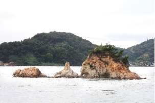
日本三大潮流の一つで知られている来島海峡を一望できる公園。高台に建つ展望台からも絶景が臨める。
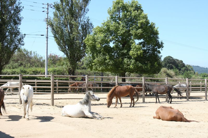
日本で一番小さな馬・野間馬と触れ合える。乗馬体験にもチャレンジ!

約750年の歴史を持つ、伝統ある菊間地方の瓦の歴史を学ぶことができる。
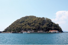
瀬戸内に浮かぶ周囲約1.5kmの島には海水浴場やキャンプ場がありレジャーにぴったり。野生の鹿が生息するなど豊かな自然と触れ合える。

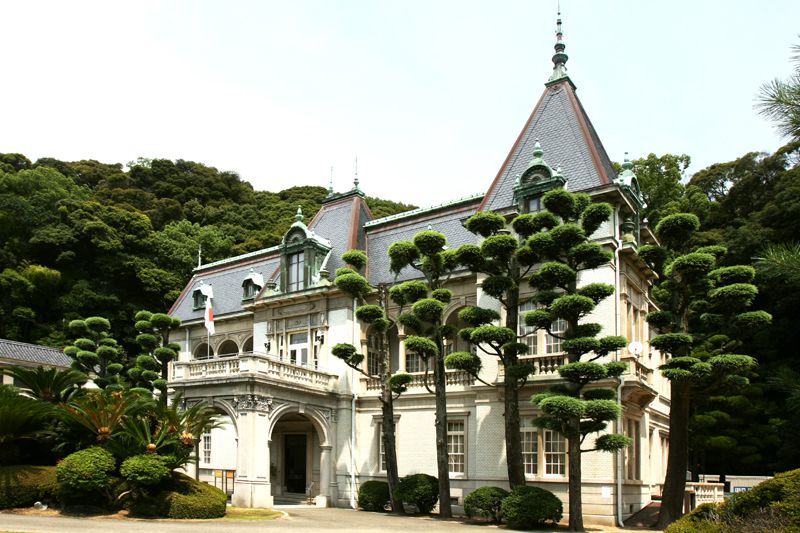
旧松山藩主・久松定謨の別邸として建てられたフランス風の優美な洋館。
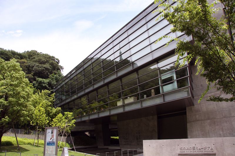
小説「坂の上の雲」の世界を再現したミュージアム。秋山好古など松山出身の3人の主人公達が歩んだ足跡や時代について展示している。
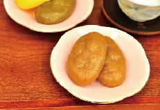
松山の郷土料理で、上新粉や砂糖、醤油を材料にした懐かしい味わいの菓子。
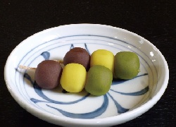
緑黄茶の3色団子。緑のあんには宇治抹茶、えひめ栗を使用した黄色のあん、北海道の小豆のあんが絶妙。
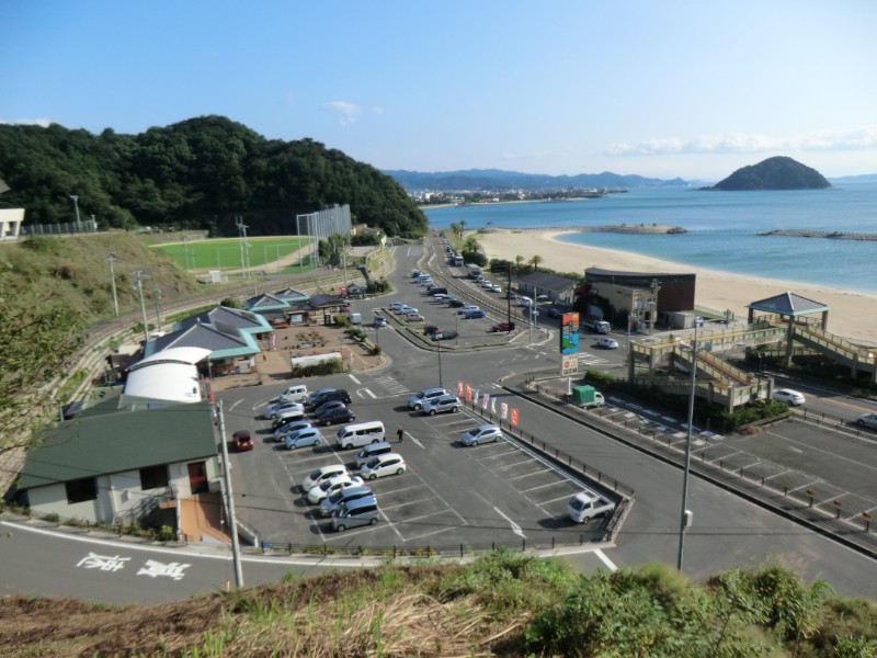
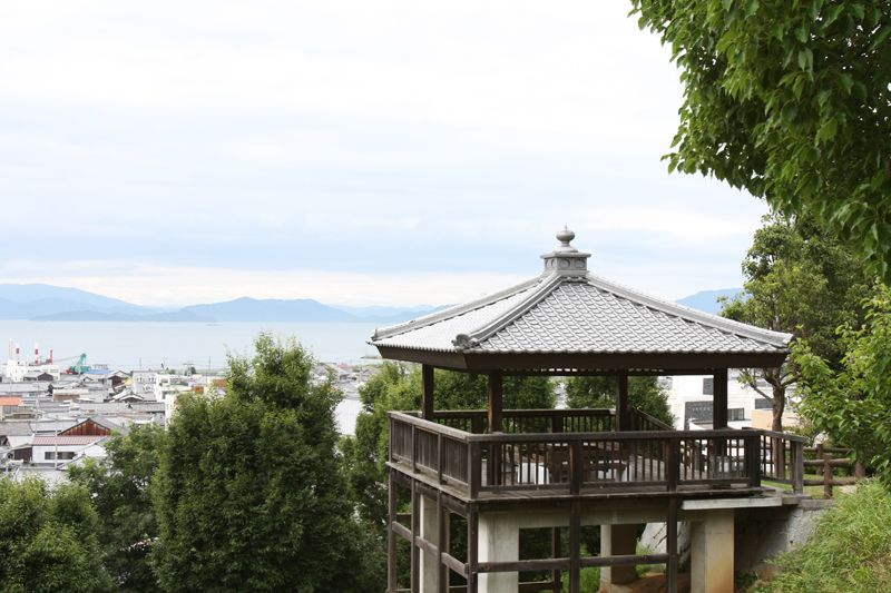
松山市の北部、国道196号線沿いに位置する道の駅。高縄半島の山並みや穏やかな瀬戸内、斎灘の島々の風景、四季を通して美しい夕陽を楽しめる。
青空市場には、地元風早産の新鮮で安全な農林水産物、加工品、特産品が数多く並ぶ。また、地元の食材にこだわったメニューを揃えるレストランをはじめ、人気のアイスクリームやたこ焼き、じゃこ天などを販売する軽食コーナーもあり、風早ならではの味を堪能できる。
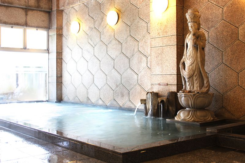
なめらかな湯が特徴的で、古くから湯治の湯として親しまれる温泉でもある。

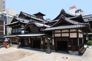
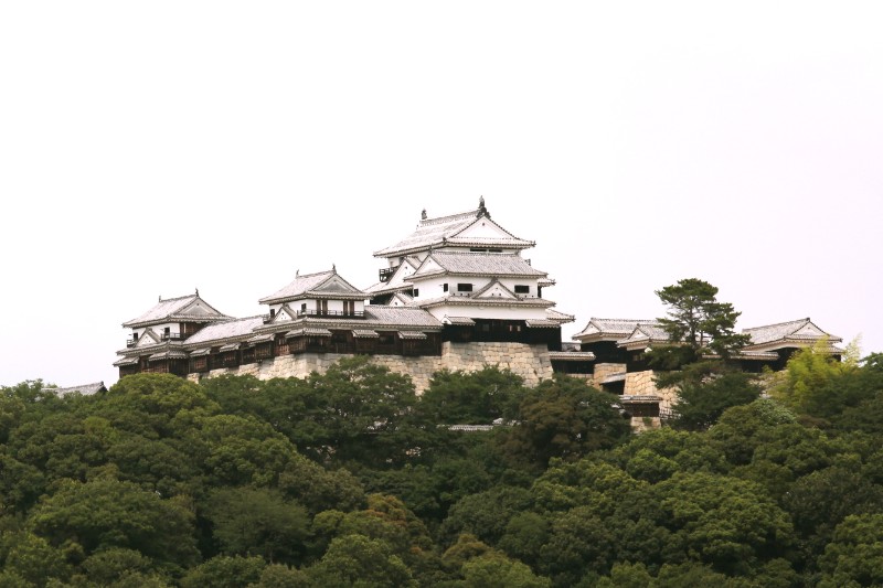
日本最古の温泉とされる、城郭式の木造三層楼の本館は国の重要文化財にも指定される。さらさらとした名湯を堪能して、温泉街を散策してみよう。
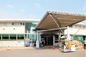
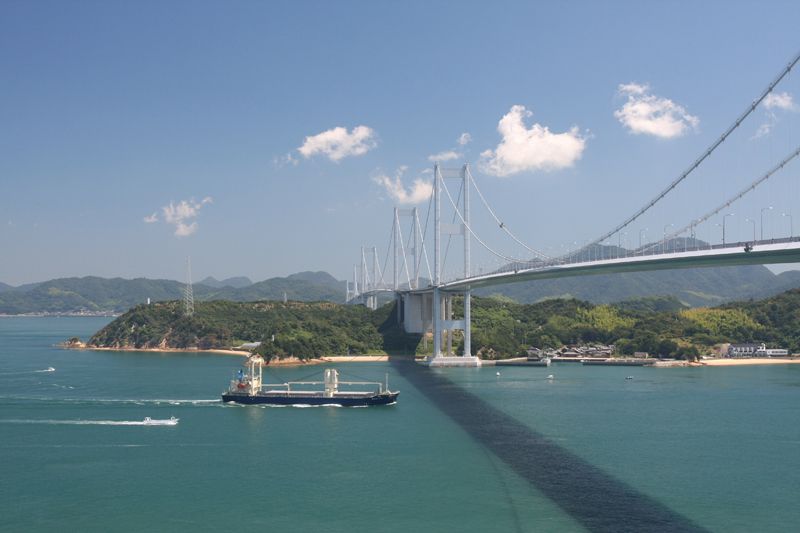
来島海峡大橋のたもとにあるサイクリングの出発点。ここから橋に登れば、瀬戸内海の絶景を一望できる。また、レストランや宿泊施設も併設され、しまなみ海道観光の拠点となっている。宿泊部屋の窓から眺める来島海峡大橋は圧巻で、橋がライトアップされる日には、夜の瀬戸内海が美しく彩られる。
