


![]()
![]()
![]()
![]()
![]()
![]()
![]()
![]()
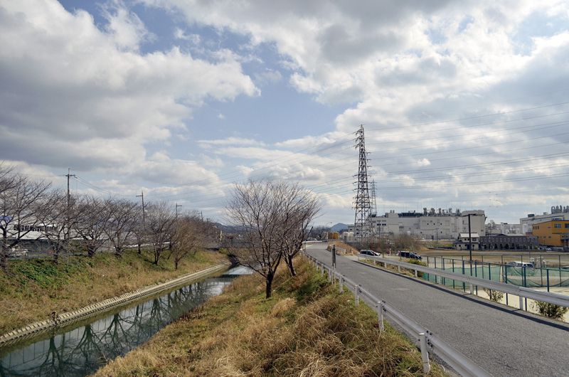
大和平野内においてのループ状の幹線ルートを補完し、川沿い等の道路を利用して観光地等を繋ぐルートです。せんとの道ルートと飛鳥御所ルートを結ぶルート。葛城川に沿って金剛葛城山の眺めとともに心地よくサイクリングが楽しめます。
It is a route that complements the loop-shaped trunk route in Taiheino and connects tourist spots etc. using roads along rivers, etc. A route connecting the Sentomichi route and the Asuka Imperial Palace route. You can enjoy cycling comfortably along the Katsuragi River with the view of Mount Kongo Katsuragi.
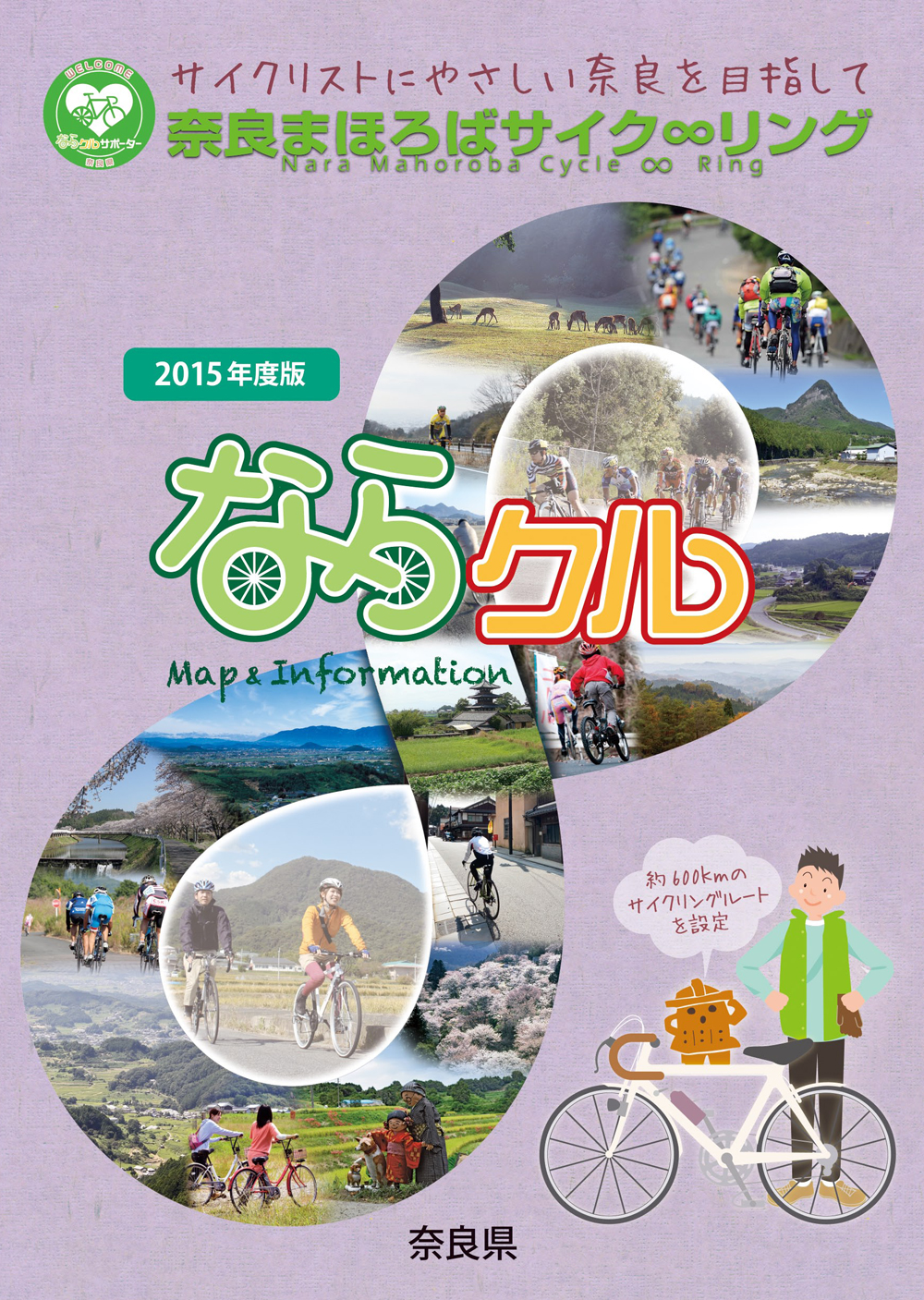
約600kmに及ぶ「奈良まほろばサイク∞リング」“略称:ならクル”の31ルート+補助幹線ルートを紹介するマップ。
マップ詳細へ※オンラインの地図上でサイクリングルートが閲覧できるウェブサイト「ルートラボ」が2020年3月末でサービス終了したため、「bikemap」に変更したことで、bikemap内の距離や高低差に誤差が生じている場合がありますが、ご理解ご了承の程、よろしくお願いします。
奈良県では、自転車利用者の皆様がサイクリング中に気軽に立ち寄って休息していただける場所として「自転車の休憩所」を認定しています。
「自転車の休憩所」のいずれの場所でも駐輪スペースが確保されているほか、トイレの提供や空気入れ(スポーツサイクル対応の無料貸し出しを行っています)
また、場所によってはバイクスタンドなどのその他のサービスを提供しています。
