


![]()
![]()
![]()
![]()
![]()
![]()
![]()
![]()
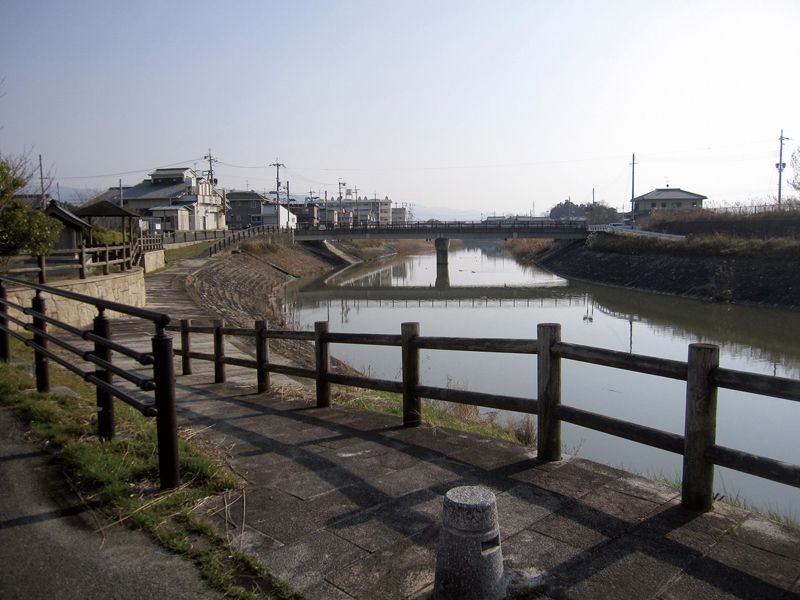
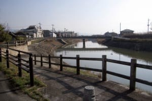
大和平野内においてのループ状の幹線ルートを補完し、川沿い等の道路を利用して観光地等を繋ぐルートです。物部ルートと上ツ道ルートを結ぶルート。大和川の堤防沿いは地域の憩いの場。神の山である三輪山の眺望は素晴らしいものです。
It is a route that complements the loop-shaped trunk route in Taiheino and connects tourist spots etc. using roads along rivers, etc. A route connecting the Mononobe route and the Kamitsudo route. Along the embankment of the Yamato River is a place of relaxation for the community. The view of Mt. Miwa, the mountain of the gods, is amazing.
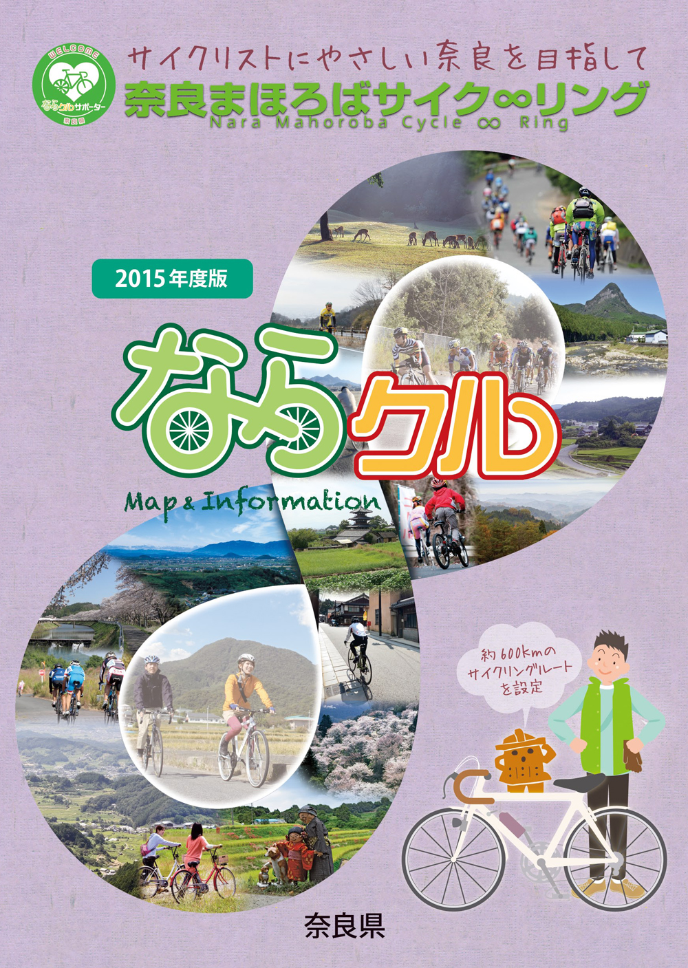
約600kmに及ぶ「奈良まほろばサイク∞リング」“略称:ならクル”の31ルート+補助幹線ルートを紹介するマップ。
マップ詳細へ※オンラインの地図上でサイクリングルートが閲覧できるウェブサイト「ルートラボ」が2020年3月末でサービス終了したため、「bikemap」に変更したことで、bikemap内の距離や高低差に誤差が生じている場合がありますが、ご理解ご了承の程、よろしくお願いします。
