


![]()
![]()
![]()
![]()
![]()
![]()
![]()
![]()

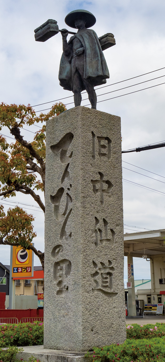


湖東エリアをぐるりとまわるルート。距離は90kmだが、平坦ルートなので中級者でも楽しく走れる。旧中山道と国道を繋いで宿場町の雰囲気を感じつつ、織田信長により築城された安土城址に到着。時間があれば天主跡まで見学してみよう。その後は商人の街、近江八幡を散策。しばらく田園風景の中を走り、野洲川の土手を走ると琵琶湖に出る。サイクリストの聖地碑まで南下したら、琵琶湖沿いに北上する。「あのベンチ」を過ぎたら宇曽川から道の駅まで一般道で戻る
A route that goes around the Koto area. The distance is 90 km, but since it is a flat route, even intermediate riders can enjoy running. While feeling the atmosphere of a post town by connecting the old Nakasendo and the national highway, I arrived at the ruins of Azuchi Castle, which was built by Oda Nobunaga. If you have time, take a tour of the ruins of the Lord. Afterwards, I took a walk around Omihachiman, the city of merchants. After running through the rural landscape for a while, running on the bank of the Yasu River, you will reach Lake Biwa. Go south to the sacred monument for cyclists, then head north along Lake Biwa. After passing “that bench,” take a local road back from Usogawa to the roadside station
道の駅せせらぎの里こうらがある甲良町は、湖東エリアの中心からやや北に位置し、彦根市や近江八幡といった観光地にも近く、自転車で散策するのが楽しいエリア。このパンフレットでは、道の駅をスタート&ゴールとした、初心者から中・上級者も満足できる4ルートを提案している。神社仏閣巡りやダム巡り、彦根城周辺のグルメポタなど、甲良町起点のサイクリングを楽しもう。
マップ詳細へ※オンラインの地図上でサイクリングルートが閲覧できるウェブサイト「ルートラボ」が2020年3月末でサービス終了したため、「bikemap」に変更したことで、bikemap内の距離や高低差に誤差が生じている場合がありますが、ご理解ご了承の程、よろしくお願いします。
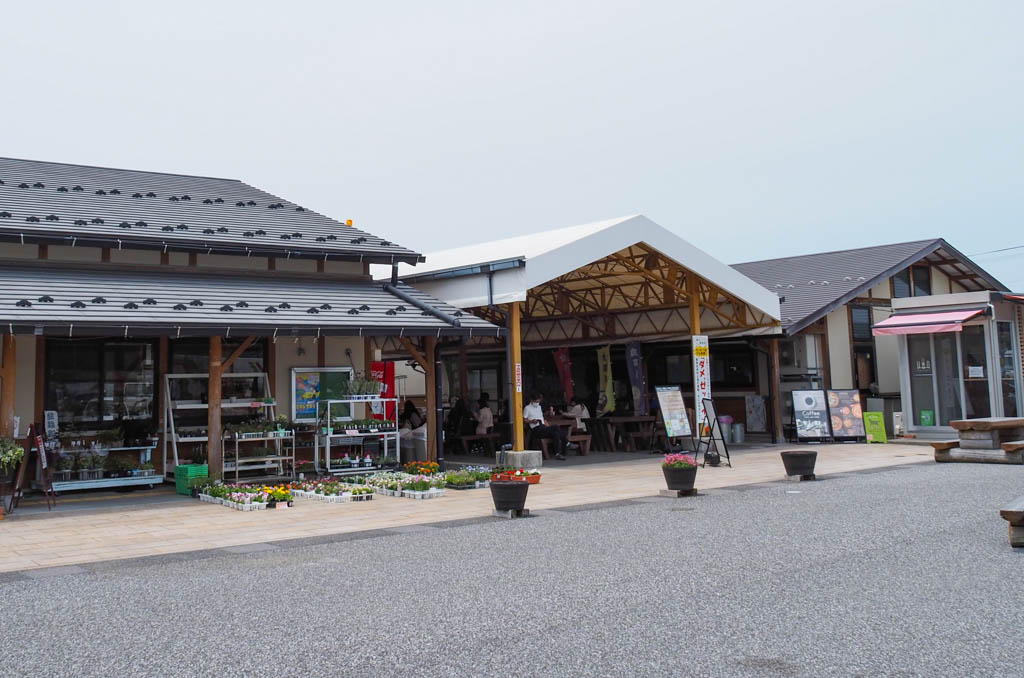
甲良町産の農産物や加工品を販売している。地域の食材を使ったテイクアウトの石窯ピザ専門店、クレープ店のほか無料のドッグランなどあり。観光案内所では周辺の観光情報も入手できる
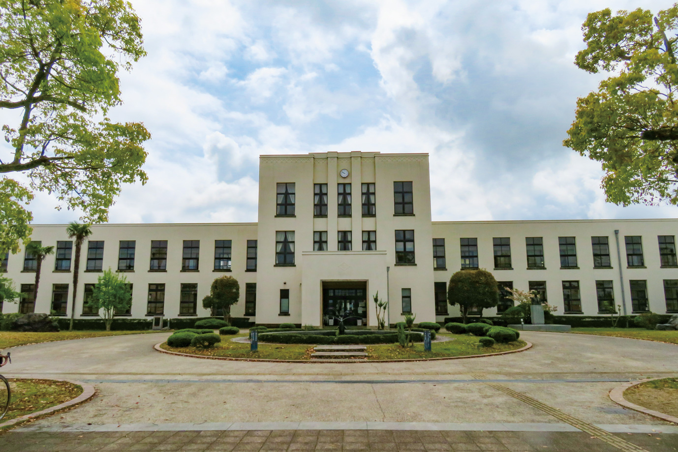
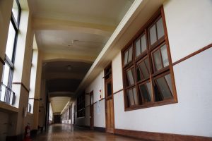
1937年に近江商人で「丸紅」の専務だった古川鉄治郞氏が私財をなげうち建築された小学校。映画やドラマ、アニメの舞台にもなっており見学者が絶えない。平成25年に国の登録有形文化財に登録された
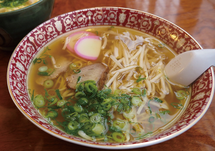
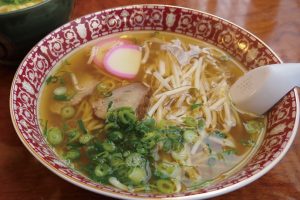
豊郷のうどん&丼屋。なかでも人気なのは「中華そば」モヤシとカマボコが乗ったシンプルで優しい味。アニメの聖地巡礼で立ち寄る人も多い
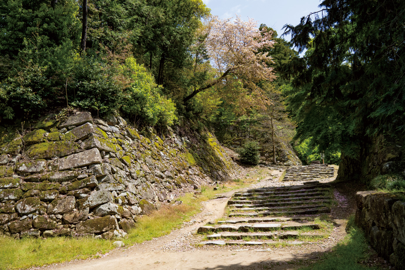
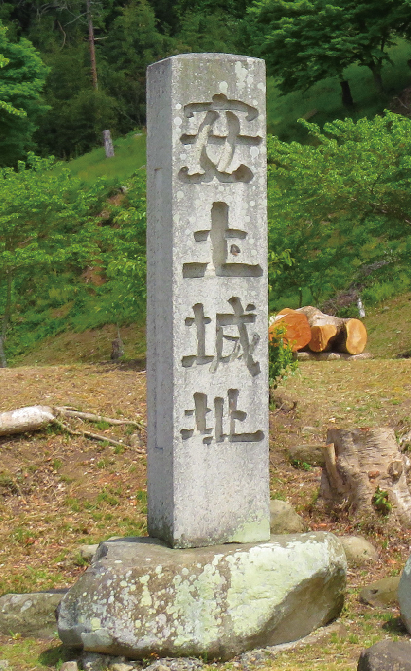
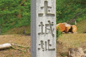
織田信長が天正4年から約3年の歳月をかけ完成させ移り住んだと伝わる。しかし本能寺の変後に消失し、現在は石垣が残るのみとなっている。城内の見学は有料
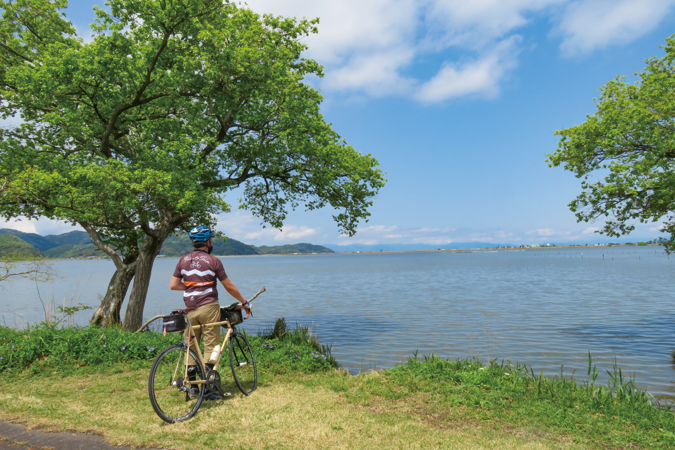
ラムサール条約湿地登録エリアに追加された琵琶湖最大の内湖。湖の南にあるサイクリングロード「びわ湖よし笛ロード」の一部を走る
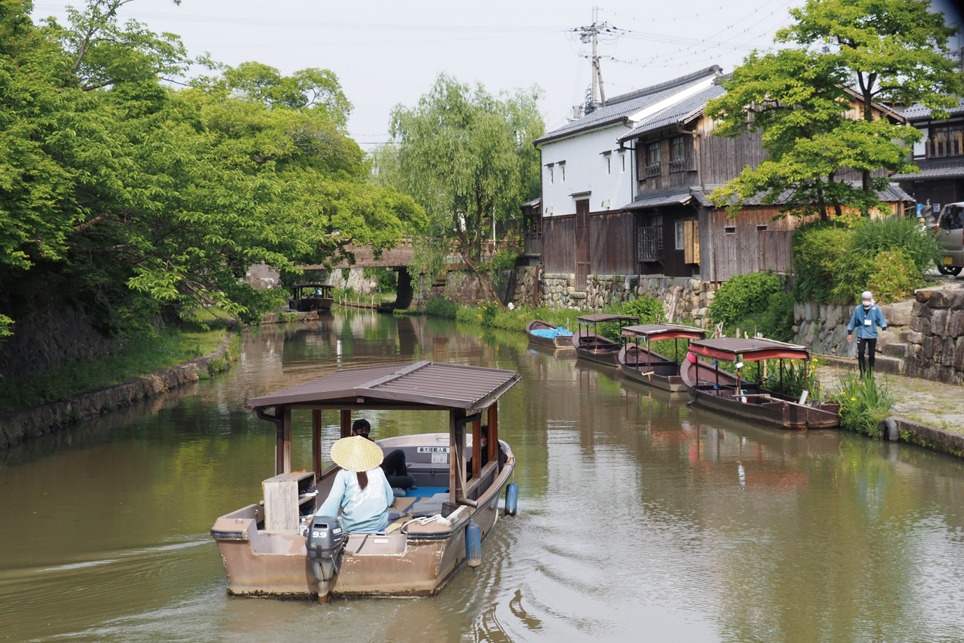
安土桃山時代に豊臣秀次により城下町が栄え発展した八幡堀。流通路であった堀は戦後廃れたものの、近年観光名所として整備された。時代劇のロケに使用されるなど、街のシンボルとして親しまれている
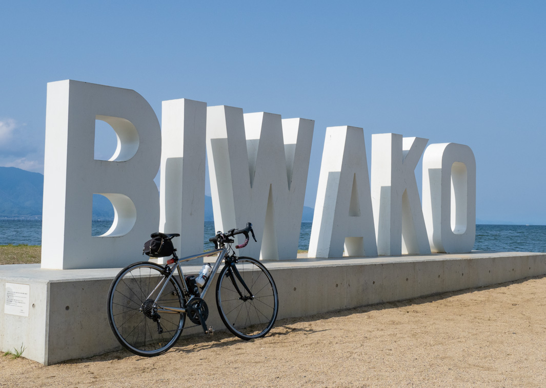
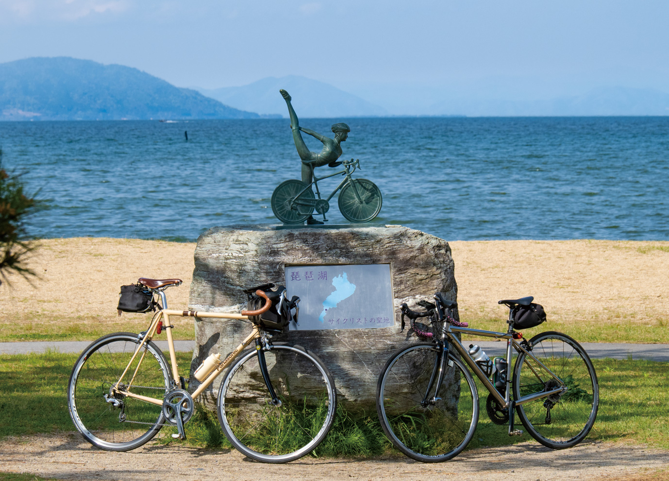
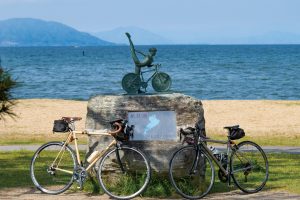
滋賀県守山市が2017年にビワイチのスタート地点として設置。その後ビワイチを走った記念に自転車と一緒に撮影できる人気のフォトスポットとして定着した。聖地碑の奥には2021年にBIWAKOモニュメントも設置された
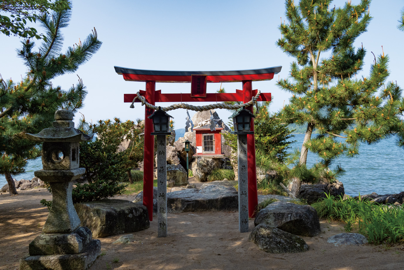
外宮は琵琶湖側にせり出すように祀られており、鳥居の向こう側に見える琵琶湖から御利益が与えられそうな景色だ。内宮は陸地側にあり、巨岩の間にある洞窟に祀られている。神聖な雰囲気があり穴場パワースポット
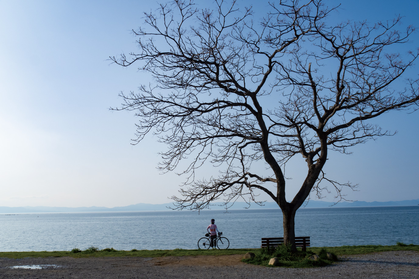
ビワイチを楽しむサイクリストには有名な場所。正式な名称はなく「あのベンチ」と呼ばれるフォトスポット。栴檀(センダン)の木の下に置かれたベンチが絵になる。自転車と一緒に写真を撮りたくなること間違い無し
