


![]()
![]()
![]()
![]()
![]()
![]()
![]()
![]()


ルート沿線には、「鳥取砂丘」、「水木しげるロード」など鳥取を代表する観光スポット、日本海の新鮮な海の幸や「牛骨ラーメン」などのご当地グルメ、鹿野温泉・はわい温泉・皆生温泉などの温泉があり、鳥取を味わい尽くせるサイクリングルート。
コースマップはJR東浜駅から出発し、JR境港駅をゴールとする西向きルートを掲載しています。
鳥取うみなみロード(東向きルート)
START:JR境港駅 GOAL:JR東浜駅
https://ridewithgps.com/routes/41704986
Along the route, there are tourist spots representing Tottori, such as "Tottori Sand Dunes" and "Mizuki Shigeru Road," local gourmet food such as fresh seafood from the Sea of Japan and "beef bone ramen," and hot springs such as Kano Onsen, Awai Onsen, and Kaike Onsen, so you can enjoy Tottori to the fullest. The course map shows a westbound route starting from JR Higashihama Station and ending at JR Sakaiminato Station. Tottori Uminami Road (eastward route) START: JR Sakaiminato Station GOAL: JR Higashihama Station https://ridewithgps.com/routes/41704986
※オンラインの地図上でサイクリングルートが閲覧できるウェブサイト「ルートラボ」が2020年3月末でサービス終了したため、「bikemap」に変更したことで、bikemap内の距離や高低差に誤差が生じている場合がありますが、ご理解ご了承の程、よろしくお願いします。
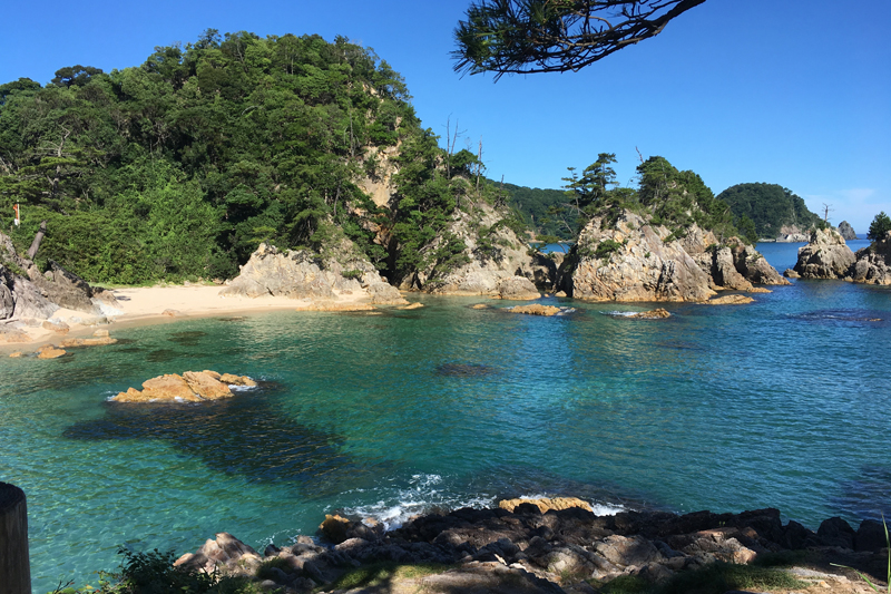
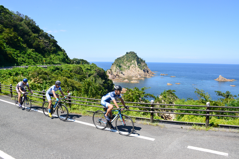
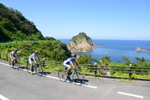
岩美町の海岸線一帯、東西15kmの景観が美しいリアス式海岸。浦富海岸を含む山陰海岸ジオパークはユネスコ世界ジオパークに認定されており、洞門・洞窟・白砂の浜など、様々な地形が訪れる人々の目を魅了する。カヤックやシュノーケル等のアクティビティも体験できる。
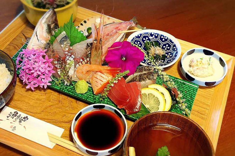
岩美町にある海近の癒しの空間で地元食材を使ったメニューを提供するレストラン。海を見ながらボリューム満点の色鮮やかなランチやこだわりのコーヒーを楽しむことができる。
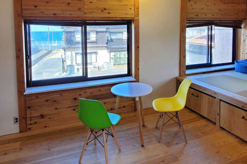
浦富海水浴場まで徒歩3分。窓を開ければ波音が心地よい木の温もりに包まれたアットホームな雰囲気の1日1組限定の貸し切り宿。
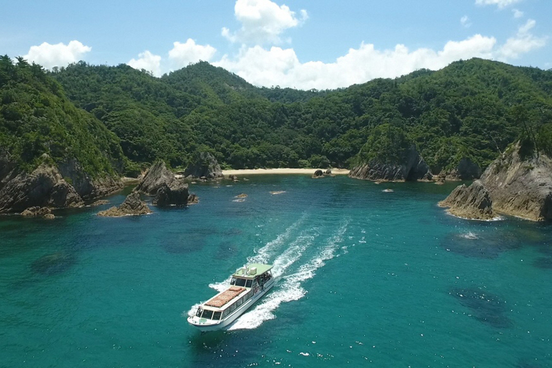
浦富海岸の島めぐりができる遊覧船。船長の生の声で透明度の高い海水、複雑に入り組んだリアス式海岸の景観を見ながらのんびりゆったりとクルージング。シーフードバーガーが食べられる「港カフェ(サイクルカフェ)」や海鮮丼等の海の幸が楽しめる「あじろや」など食事処も充実。
「きなんせ」とは鳥取弁でおいでくださいの意味。全国に誇る松葉がにや新鮮な水産物、地元産で安全・安心な農産物、お菓子、民工芸品などを購入できる道の駅。
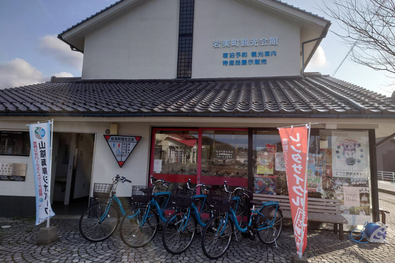
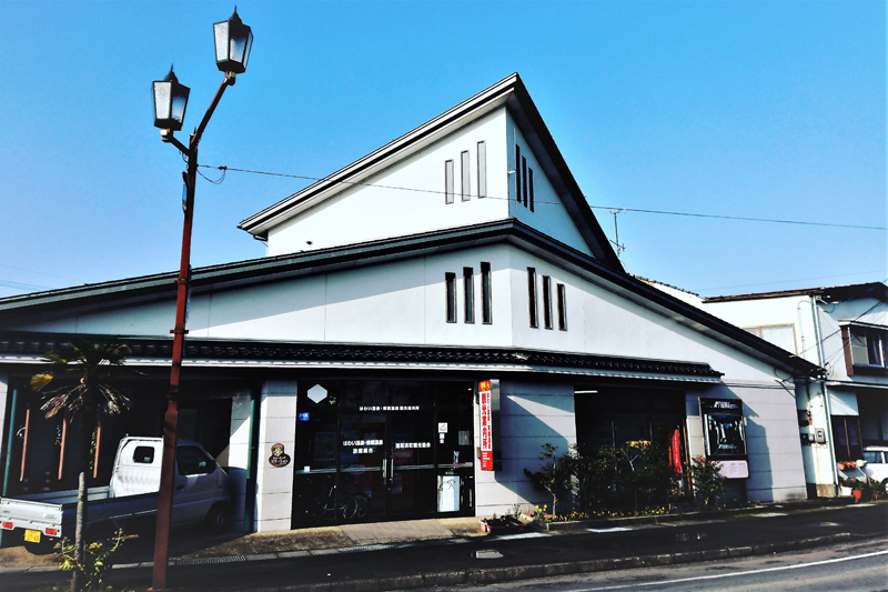
岩美駅に隣接した観光協会で岩美町の観光の拠点。電動のレンタサイクルを借りて、岩美町の海岸沿いや田園風景を気軽に周遊することができる。
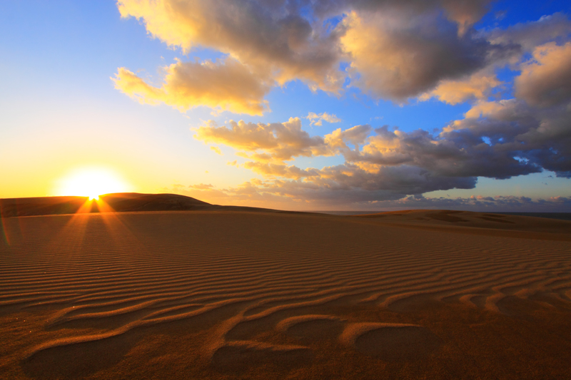
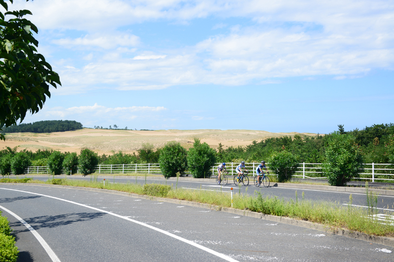
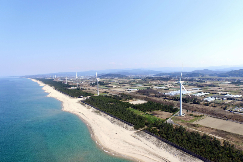
10万年の歳月をかけて作られた自然の造形美。季節や時間によって見せる表情も様々。ファットバイクやサンドボード、らくだライド等の砂丘アクティビティが充実。
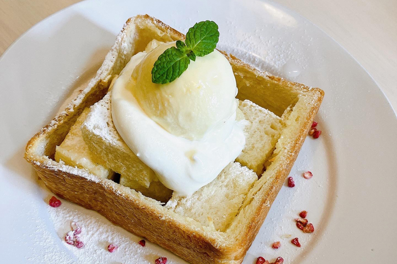
大谷養蜂場直営の鳥取初!ハニートースト専門店。大谷養蜂場が手掛ける、非加熱で栄養価の高い生はちみつはもちろん、国内外の18種類のはちみつを楽しめる。
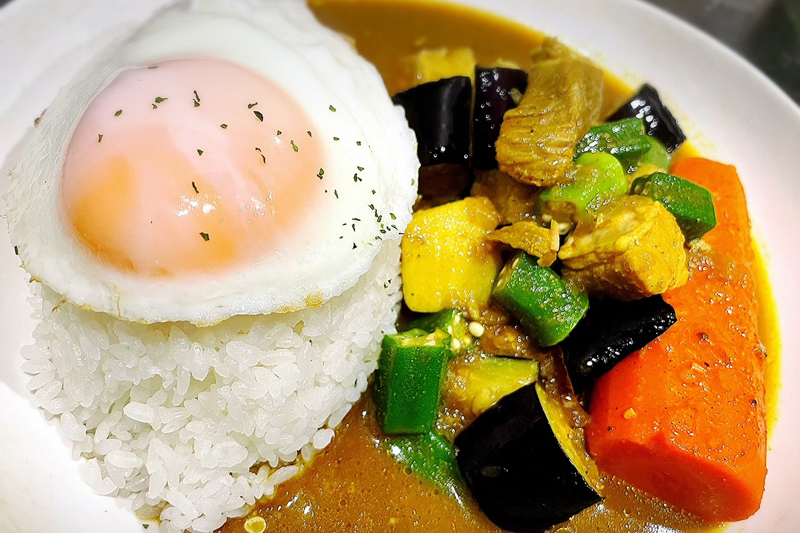
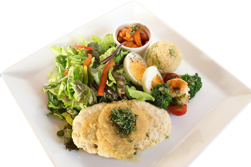
鳥取市賀露港近くのカレーライスを提供する飲食店。温かい雰囲気の店内でこだわりのスパイスカレーを楽しめる。サイクリストは、カレー100円引き、ドリンク1杯無料サービスも。また、少し歩いたところにあるゲストハウス、MOONA BASEでの宿泊もおすすめ。
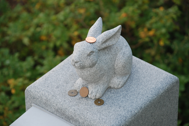
古事記に記される神話「因幡の白兎」の舞台である白兎海岸にある歴史的な神社。神話にちなみ、皮膚病、病気治癒のほか、縁結びの神社としても信仰され、「恋人の聖地」に指定されている。卯年である令和5年にぜひとも訪れてほしいスポット。
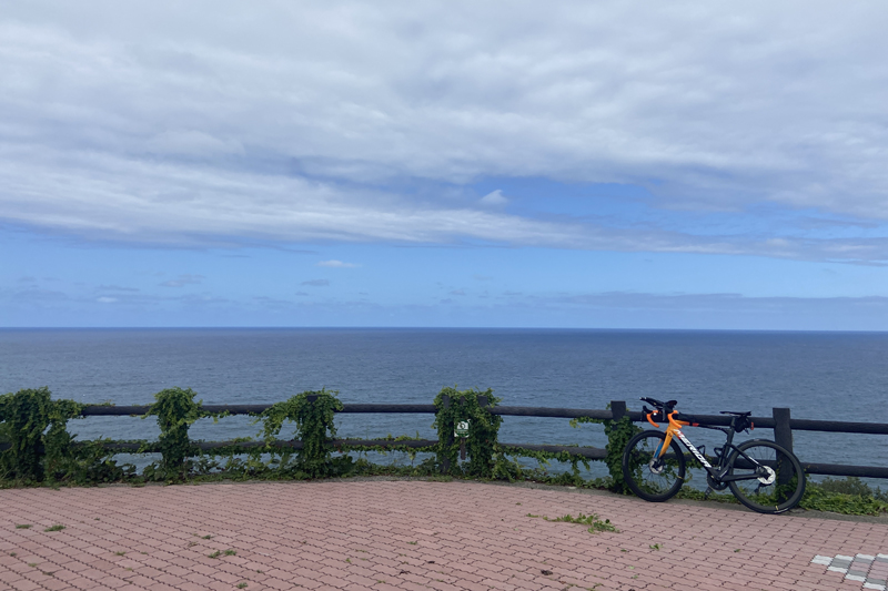
日本海にせりだした「長尾鼻」の付け根にある展望台。天気が良い日には鳥取空港や鳥取砂丘、中国山地の山々も見ることができる絶景スポット。
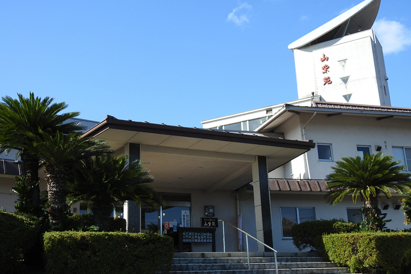
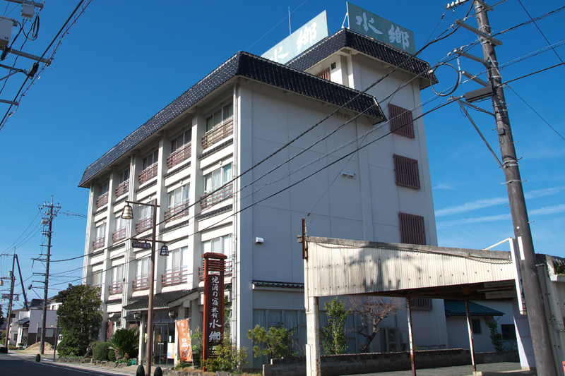
鹿野温泉の温泉宿。お湯は源泉かけ流しの弱アルカリ性単純泉で、肌がツヤツヤになると好評。レンタサイクルの無料貸出やワーケーション施設としてのサービスも充実。
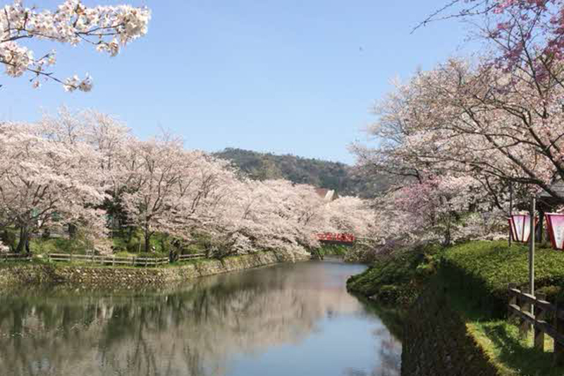
鹿野町にある戦国時代の亀井玆矩公の居城跡。頂上の石と内掘、外堀の石垣に、当時の面影が残っている。約500本のソメイヨシノが植えられ、桜の名所としても有名。
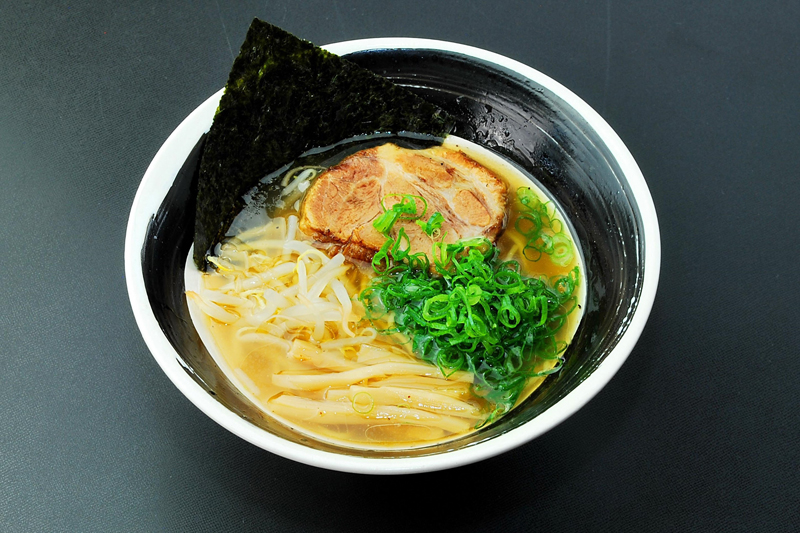
気高町にある牛骨ラーメンを提供するラーメン店。鳥取県産牛骨を真面目に手間暇惜しまず、じっくりと20時間以上煮込んで、旨味を最大限抽出した牛骨スープが自慢。※ウェブサイトのリンク先は本店(鳥取県東伯郡琴浦町下伊勢527-6)HPです
風光明媚な東郷湖の景色を一望できるカフェ。開放的な気分のテラス席で体に優しいランチを楽しむことができる。レンタサイクルの貸出も可能。
はわい温泉にある招福ひょうたんが名物の温泉宿。かけ流しの温泉でサイクリングの疲れを癒すことができる。合宿等グループでの利用も可。
はわい温泉・東郷温泉エリアの「東郷湖」湖畔にある観光案内所。周辺には、国内最大級の中国庭園「燕趙園」等の観光地があるほか、1周12キロの「東郷湖」を自転車で1周する「トゴイチ」の企画の発着地点。
北栄町にある昭和レトロな雰囲気の喫茶店。地元の食材を使ったモーニング、ランチなどを楽しむことができる。サイクリストにはドリンク一杯無料サービス♪
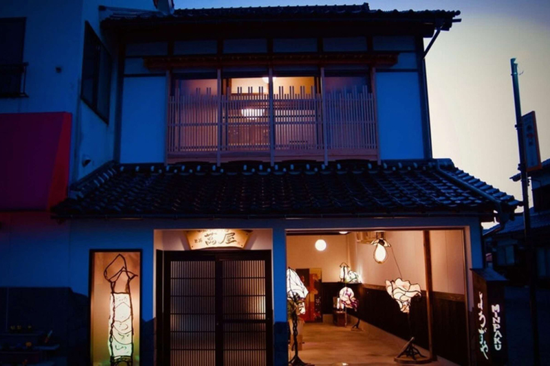
温かな和紙ランプの灯る1日1組限定の民泊施設。最大で8名宿泊可能のためグループでの利用も可。落ち着く雰囲気の和室でゆっくりと疲れを癒すことができる。
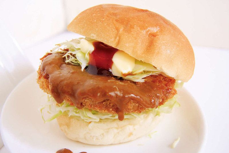
琴浦の名産であるトビウオ(アゴ)や名産の長芋を使った蒲鉾の名店。店内で「あごカツカレーバーガー」や、揚げたての天ぷらや揚げ物等を楽しむことができる。サイクリストはちくわ1本無料サービスも。
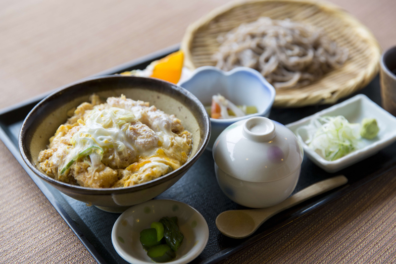
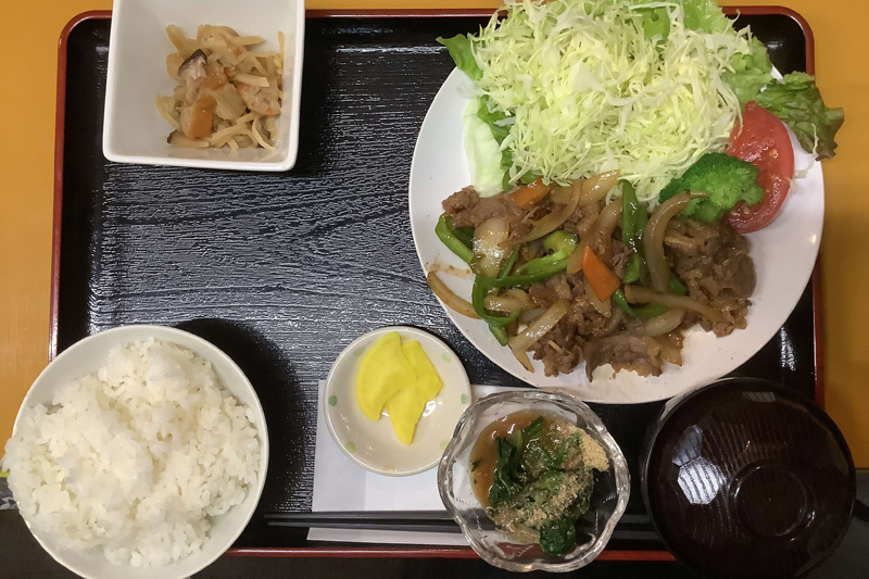
琴浦町の地元食材を使った豊富なメニューを楽しめる飲食店。町内産の手打ちそば、海鮮、県産和牛、町内産ジャージー牛の熟成肉、県ブランド大山ルビー豚や牛骨ラーメンなどを提供。
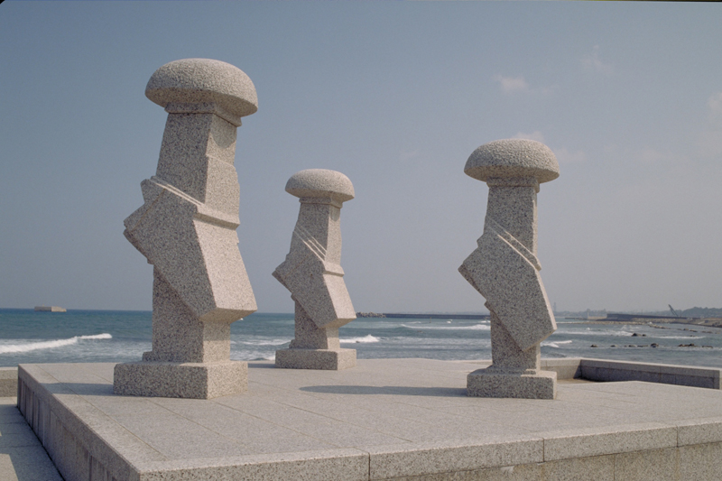
琴浦町菊港にある世界的に有名な彫刻家流政之氏の三体の石像の彫刻。旅の姿を象徴しているこの彫刻は荒波の日本海を向いて立っており、四季それぞれに表情を変え、見る人に生きる希望と勇気を与えてくれる。
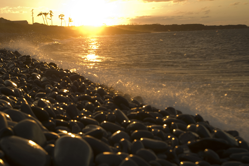
琴浦海岸の西に位置する、楕円形の石が集積した珍しい自然海岸。丸石が波にもまれて“よく鳴る”浜であることから、“良くなる”浜と験(げん)を担ぎ、縁起の良いパワースポットとしても注目されている。
目の前に広がる180°大パノラマの日本海の景色を見ながら食事を楽しめるレストラン。地元食材を使ったシェフ自慢のメニューを提供。
大山町にあるコインランドリーやドッグランが一体となった複合施設、MOUNTAN HUT内にあるスイーツカフェ。バームクーヘンやコーヒーなどを楽しめる。
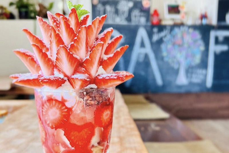
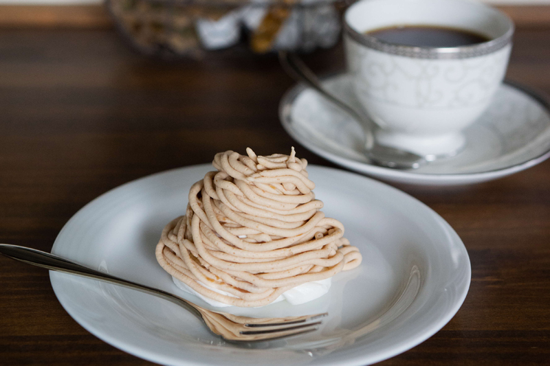
名水100選にも選ばれた秀峰・大山の麓に湧き出す清流スポットの近くにあるそば屋。季節のフルーツを使ったパフェが大人気。
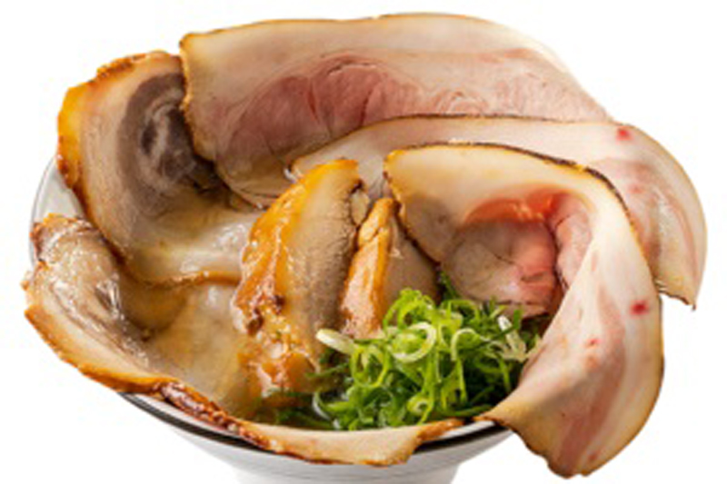
淀江町の牛骨ラーメンを提供する行列のできるラーメン店。牛・豚骨ガラや塩など、厳選した素材を使用したこだわりが詰まった一杯を楽しむことができる。
居心地の良い空間で珈琲を楽しめる。豆本来の味を引き出す独自の入れ方でこだわりの珈琲を提供。「こだわりの先に出逢えたのは、冷めてもおいしい珈琲でした。」
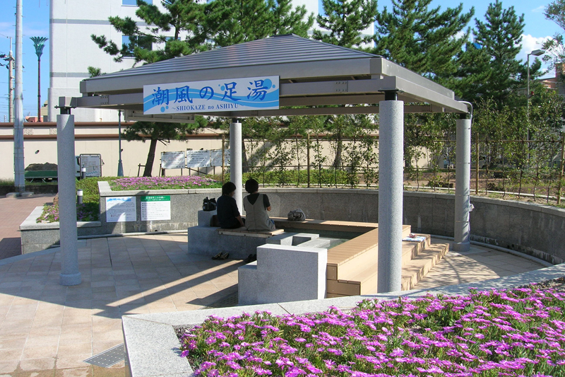
皆生海浜公園内の無料の足湯。足湯にゆっくりつかりながら、サイクリングの疲れを取ることができる。
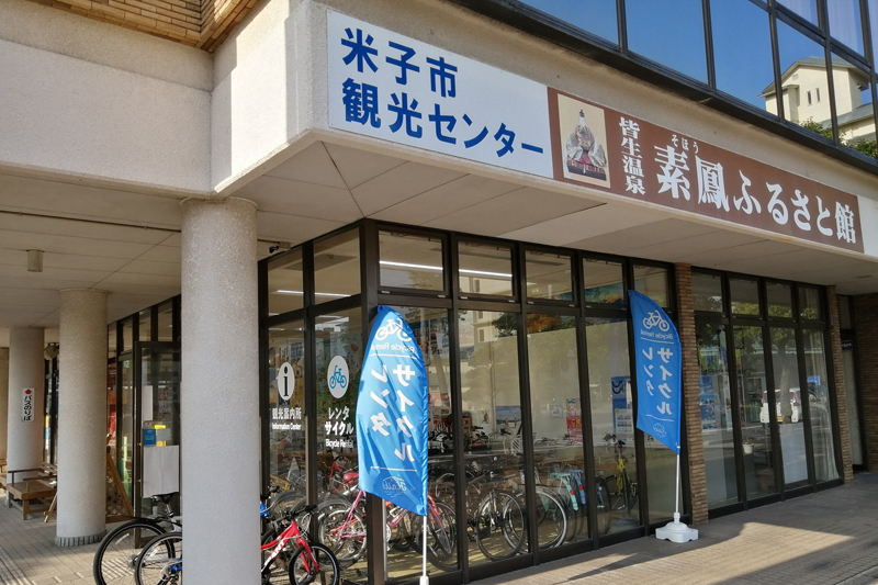
皆生温泉の玄関口にある観光拠点施設。目的に合わせて選べる多種多様なレンタサイクルを取り揃えている。
お勧めは皆生温泉を発着点とする弓ヶ浜シーサイドサイクリング!米子城をはじめとする近隣観光の足としても便利。
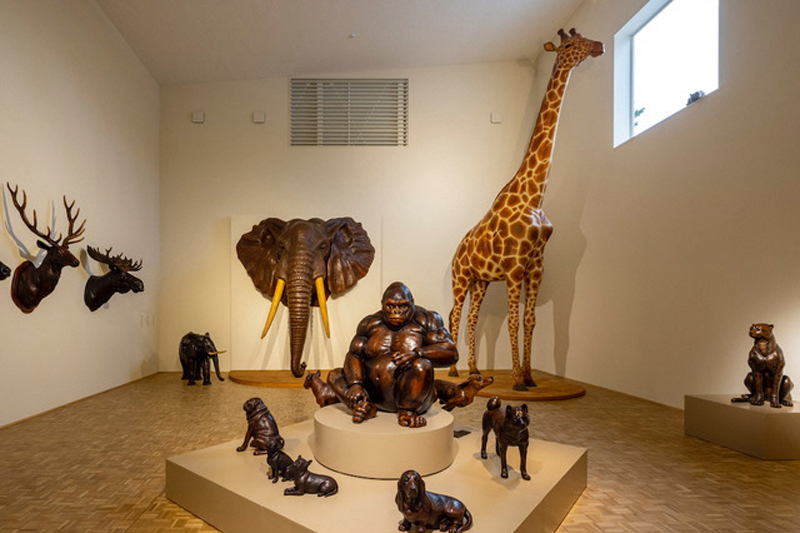
大篠津町にある世界初のレザーアートミュージアム。館内には、レザーアート作品を100点以上展示。隣接するカフェ(サイクルカフェ)では、庭園を見ながら休憩ができる。
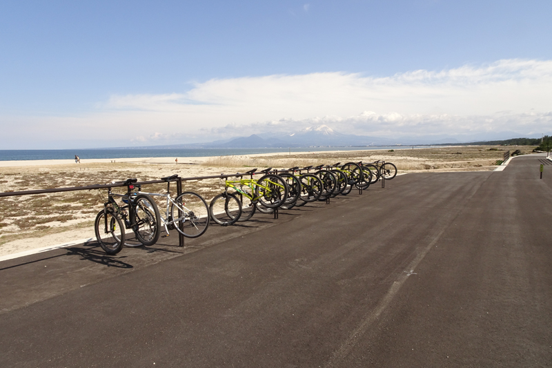
「白砂青松の弓ヶ浜サイクリングコース」上にある展望台。米子鬼太郎空港からも近いため、飛行機を間近に見ることができる。トイレとサイクルラックを設置しているため、休憩場所としてもオススメ。
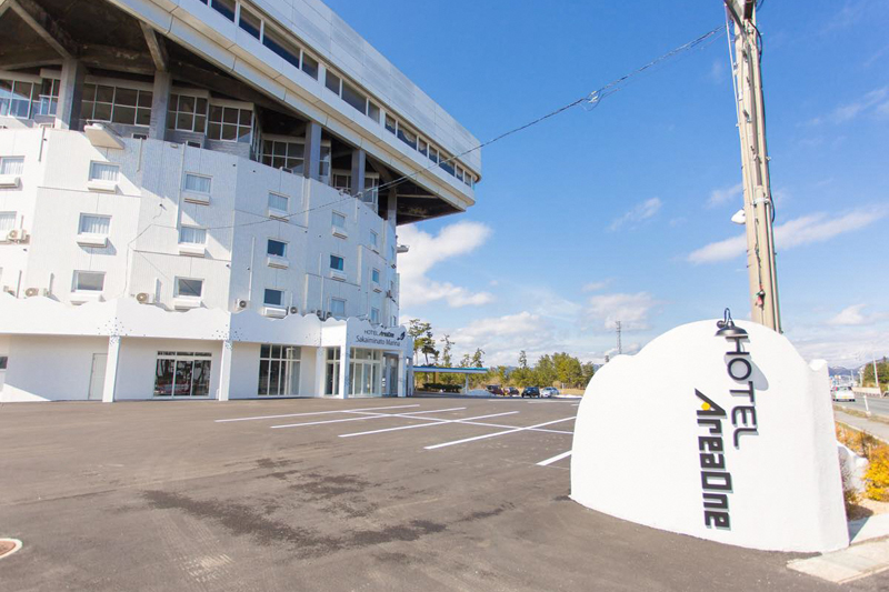
境港の海辺にあり、海側の部屋からは日本海が一望できる。
レンタサイクルとサイクリスト向けの工具類等の無料貸出サービスも。
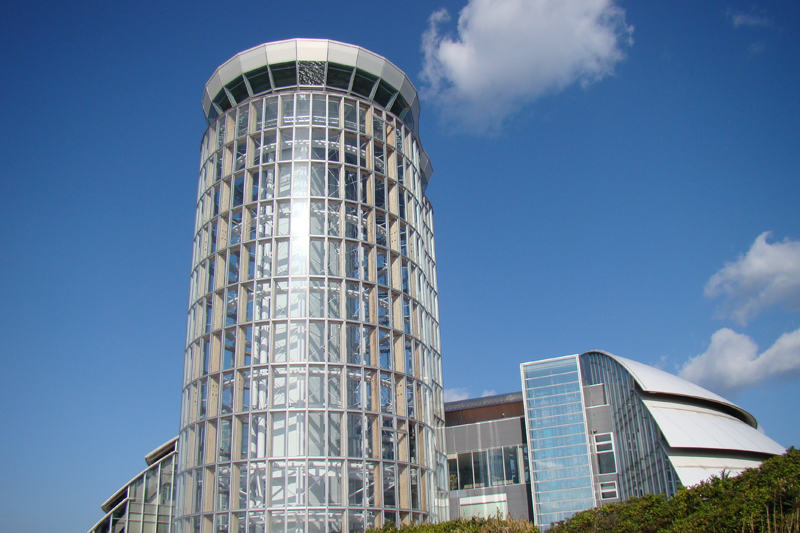
地上43m「日本一低いタワー」である境港のランドマークタワー。大山と弓ヶ浜の360度の大パノラマを一望することができる。レンタサイクルの貸出も可。
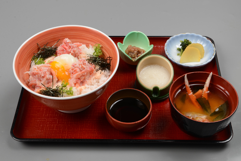
境港にある新鮮な海の幸が自慢のサイクルカフェ。人気NO.1はかにトロ丼。サイクリストは、かにトロ丼100円割引のサービスも。
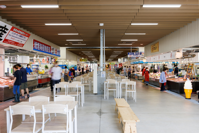
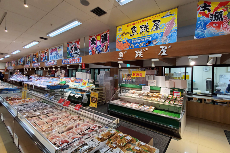
境港の取れたての新鮮な海の幸を購入することはもちろん、イートインスペースでその場で食べることも可。海鮮食事処も2店舗併設。
