


![]()
![]()
![]()
![]()
![]()
![]()
![]()
![]()
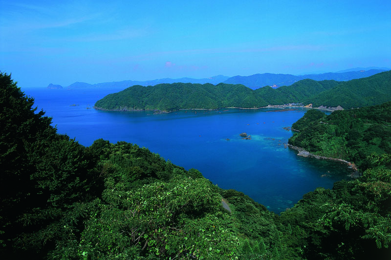

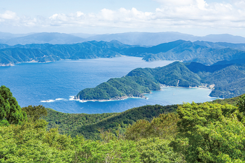

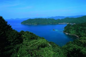
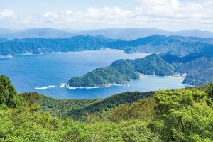
小浜駅から 7km ほど進めば、左手に久須夜ヶ岳の山稜によって形成された内外海半島が見えてくる。エンゼルラインはここ から 10km、標高 600m を一気に駆け上がる。ところどころに 10%以上の勾配が待ち受る激坂コースだが、高度を上げてい くほどに木々の間から垣間見える景色が素晴らしい。ゴールの展望台から望むパノラマは、まさに小浜一の眺望。かつて交易 で遥か向こうの大陸と都をつないだ海の道が見えるようだ。
If you go about 7 km from Obama Station, you will see the Inland Sea Peninsula formed by the mountain ridge of Mt. Kusuyagatake on your left. The Angel Line runs 10 km from here and runs up an altitude of 600 meters all at once. However, it is a steep slope course where a slope of 10% or more awaits at some point, and the scenery you can catch a glimpse through the trees as you go up the altitude is amazing. The panorama seen from the Gall Observatory is truly Kohama's best view. Once upon a time, you can see the sea road that connected the continent far beyond to the capital through trade.
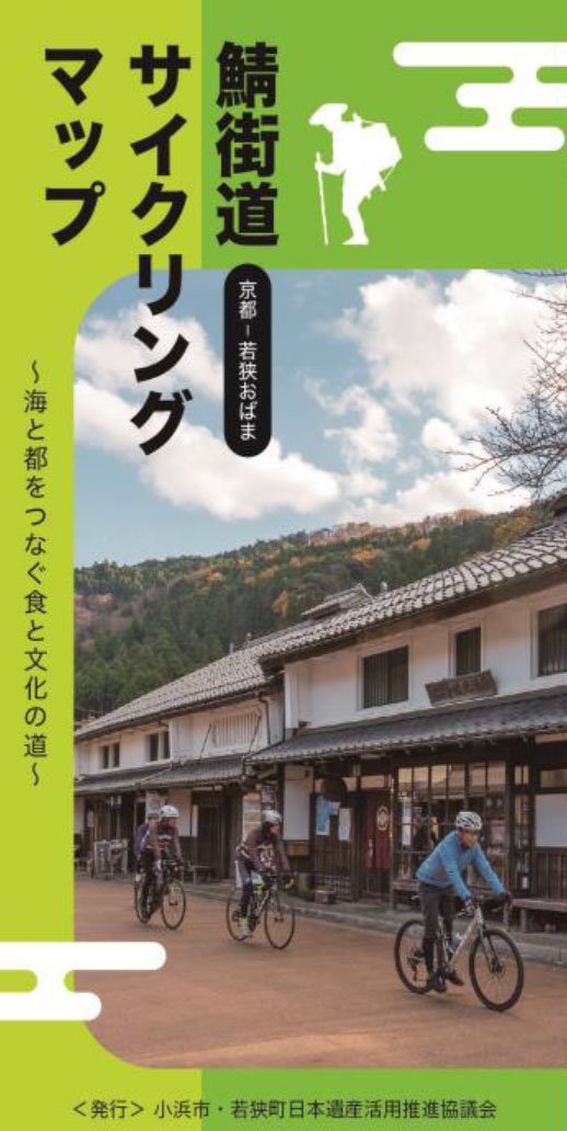
~海と都をつなぐ食と文化の道~
マップ詳細へ※オンラインの地図上でサイクリングルートが閲覧できるウェブサイト「ルートラボ」が2020年3月末でサービス終了したため、「bikemap」に変更したことで、bikemap内の距離や高低差に誤差が生じている場合がありますが、ご理解ご了承の程、よろしくお願いします。
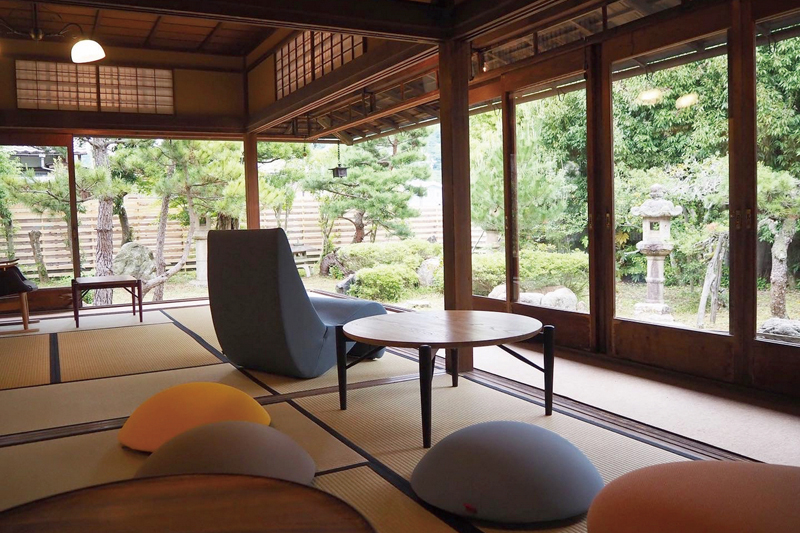
「護松園」は、北前船で財を成した古河屋の別邸。集落の奥まった場所にあるこの建物は、以前は見学できなかったが、2021年5月に「GOSHOEN」としてリニューアルされ、お洒落なカフェやシェアスペースなどを備える施設に生まれ変わった。
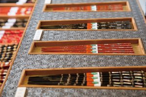
日本の塗り箸の8割が生まれる若狭小浜。若狭塗箸は昔から盛んだった漆器作りの技法で、アワビの貝殻卵殻などで装飾された
優美な箸だ。そんな若狭の箸のショールームがこの施設。館内では三千種の箸が展示販売される。
エンゼルラインを登りきった先にある山頂の駐車場からは、小浜湾だけでなく日本海がぐるりと見渡せる。晴れていれば越前岬や丹後半島も。湾の入り組んだ地形と青い海が作り出す景色はまさに絶景だ。ここから見る小浜湾に沈む夕日は特に素晴らしい。
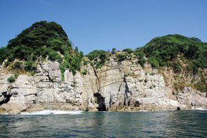
日本海の荒波が作り出した、内外海半島の北の断崖6kmにわたる奇岩や洞門の景勝地。その全景は、若狭フィッシャーマンズ・ワーフ発着の遊覧船で見ることができる。
