


![]()
![]()
![]()
![]()
![]()
![]()
![]()
![]()
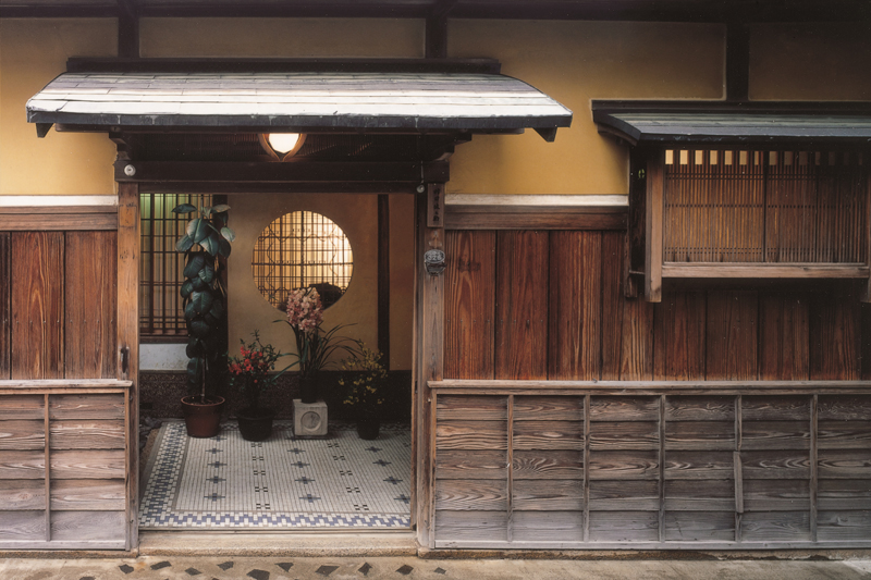


歴史や生活を感じる町中をめぐるコース。鯖街道の起点であると同時に、越前から丹後を繋ぐ丹後街道の中継地でもあった。 特に商家町、茶屋町、寺町と異なる顔を持つ町が形作られ、現在も伝統的な町家を多数残している小浜西組など、小浜と京都 との深いつながりを感じることができる。海と山に囲まれた歴史を感じる町並みをめぐることで、知らな った小浜の素顔に気づくだろう。
A course that takes you through the town where you can feel history and life. At the same time as being the starting point of the Saba-kaido Road, it was also a relay point for the Tango Highway connecting Echizen to Tango. In particular, a town with a different face was formed from merchant towns, chayamachi, and teramachi, and the Kohamanishi Gumi, which still retains many traditional townhouses, and you can feel the deep connection between Kohama and Kyoto. By going through the historic townscape, which is surrounded by the sea and mountains, you will notice the real face of Kohama as you know it.
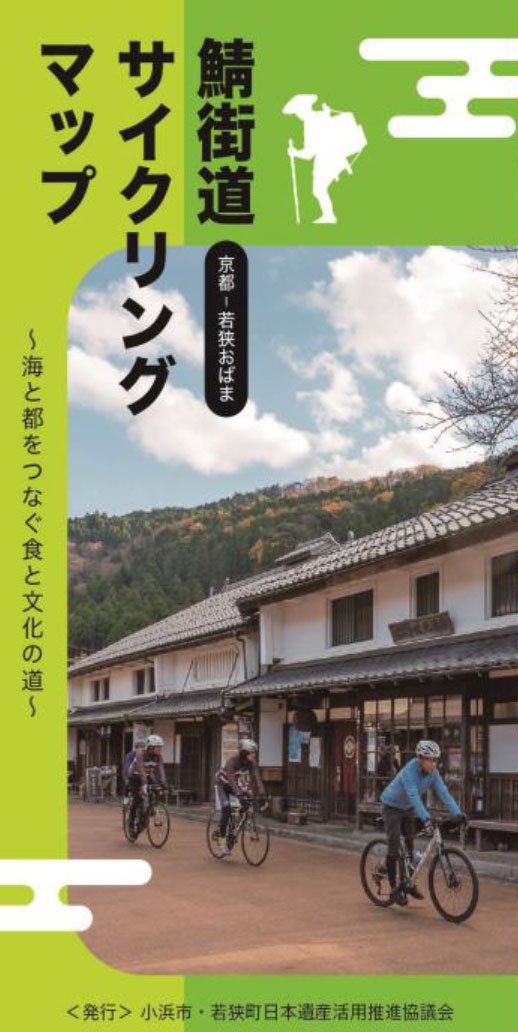
~海と都をつなぐ食と文化の道~
マップ詳細へ※オンラインの地図上でサイクリングルートが閲覧できるウェブサイト「ルートラボ」が2020年3月末でサービス終了したため、「bikemap」に変更したことで、bikemap内の距離や高低差に誤差が生じている場合がありますが、ご理解ご了承の程、よろしくお願いします。
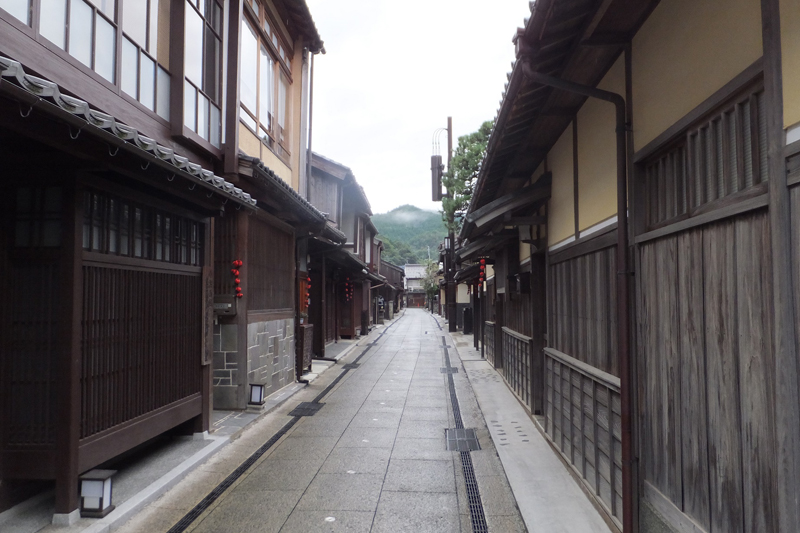
かつての茶屋街である「三丁町』。料亭「酔月」をはじめ、ベンガラ格子や出格子の家が軒を連ね、落ち着いた雰囲気の中に往時の面影を感じます。三丁町を含む小浜西組は重要伝統的建造物群保存地区に選定。
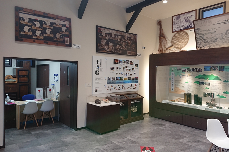
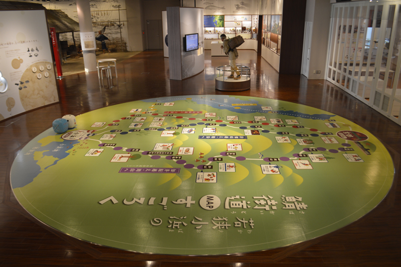
小浜市鯖街道ミュージアムは、日本遺産ガイダンス施設で、日本遺産に認定されている「鯖街道」をはじめとする小浜市の文化財や伝統芸能、祭礼等を紹介しています。小浜市の伝統芸能や祭礼を紹介する映像、トリックアートやフェノロジーカレンダー(祭礼行事や食の旬等を表した季節暦)等を展示。
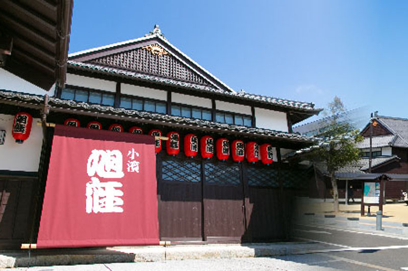
福井県内で唯一現存する明治期の芝居小屋「旭座」を移築復原。観光案内・物販、休憩施設等と併せ、小浜西組重伝建地区へのまち歩き観光拠点です。落語を含めた様々なイベントが定期的に実施されている。
食にまつわる歴史・文化や伝承料理などを展示する「ミュージアム」、郷土料理などを作り味わう「キッチンスタジオ」、若狭塗箸など伝統工芸体験ができる「若狭工房」、癒しを提供する「濱の湯」があり、若狭おばまの魅力を満喫できる。
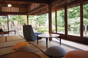
「護松園」は、北前船で財を成した古河屋の別邸。集落の奥まった場所にあるこの建物は、以前は見学できなかったが、2021年5月に「GOSHOEN」としてリニューアルされ、お洒落なカフェやシェアスペースなどを備える施設に生まれ変わった。
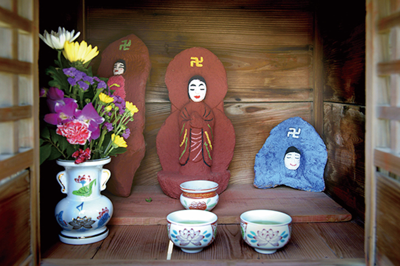
小浜の西津地区のお地蔵様は大変奇抜なメイクのお地蔵様だ。海沿いの住宅街には、地域の子供達によって様々な化粧を施された123体のお地蔵様が通りごとに見守る。京都から伝わった風習である地蔵盆(8月)にあわせて、お地蔵様の化粧が塗り直されている。
