


![]()
![]()
![]()
![]()
![]()
![]()
![]()
![]()

古くから日本海側の玄関口として様々な文化が往来し、鯖街道を通じて都とのつながりが深かった若狭には、貴重な神社仏閣が数多く残る。若狭街道と針畑越えの分岐に位置する遠敷地域には、かつては若狭の国府が置かれ、今も若狭一の宮である「若 狭彦神社」と「若狭姫神社」が鎮座する。そんな遠敷周辺に点在する寺社をめぐるコースだ。JR 東小浜駅を起点とする約 15km のコースでは、街道風情を色濃く残す遠敷の町並みや、四季に彩られた寺社、里山が出迎えてくれるだろう。
Since ancient times, various cultures have come and gone as a gateway to the Sea of Japan side, and many valuable shrines and temples remain in Wakasa, which had a deep connection with the capital through the Saba-kaido Road. “Wakasahiko Shrine” and “Wakasahime Shrine” are located in the Onshiki area, which is located at the branch of Wakasa Kaido and over Harihata, where Wakasa's national capital used to be located, and is still the first palace in Wakasa. This is a course that goes through the temples and shrines scattered around the remote area. The approximately 15 km course starting from JR Higashi-Obama Station will welcome you with remote townscapes that leave a strong sense of the road, temples, shrines, and satoyama colored by the four seasons.
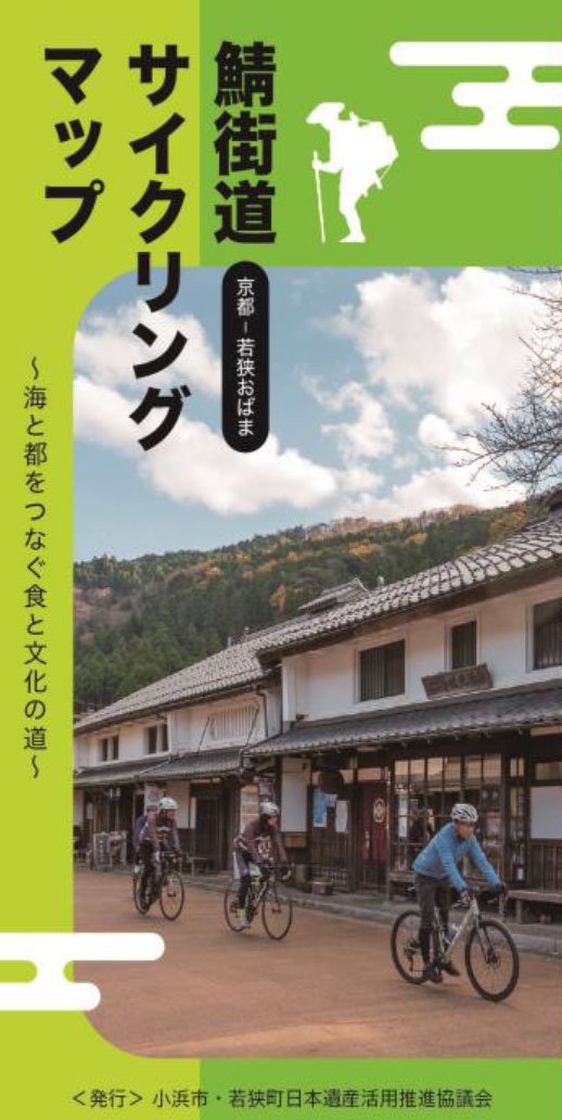
~海と都をつなぐ食と文化の道~
マップ詳細へ※オンラインの地図上でサイクリングルートが閲覧できるウェブサイト「ルートラボ」が2020年3月末でサービス終了したため、「bikemap」に変更したことで、bikemap内の距離や高低差に誤差が生じている場合がありますが、ご理解ご了承の程、よろしくお願いします。
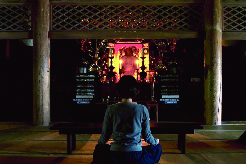
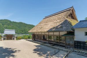
明通寺からほど近い小浜市松永。寺での瞑想や写経体験など、五感の先を開くマインドフルネスな体験エリアとなっている。松永唯一の宿「藤屋」では、里山のゆったりとした時間が包んでくれるだろう。
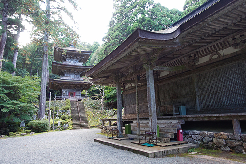
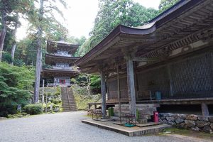
小浜市は、貴重な仏像を納める寺院が数多くあり、「海のある奈良Jと呼ばれています。坂上田村麻呂公創建の明通寺の三重塔は、日本海側随一の塔で、本堂とともに国宝に指定されています。
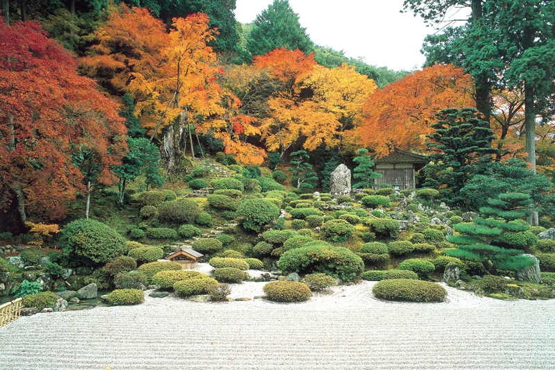
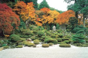
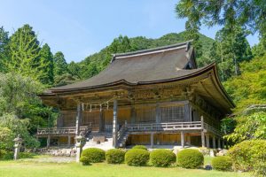
美しい白砂敷きの山水庭園と紅葉が人気の寺院。茅葺きの書院から眺める国指定名勝の庭園は、5月~6月頃のツツジ、11月中旬には大山モミジが彩る。高台の本堂から見る庭園もさらに素晴らしい。
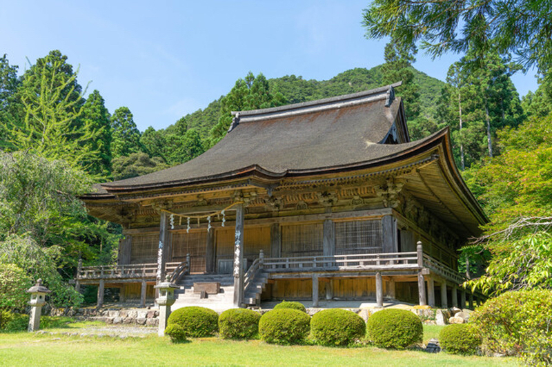
若狭と奈良が古来より深い繋がりがあったことを物語る寺。奈良・東大寺二月堂のお水取りは有名だが、その香水は神宮寺の神事「お水送り」にて、遠敷川(鵜の瀬)で流され、10日間の後に東大寺の「若狭井」に届くと伝わる。
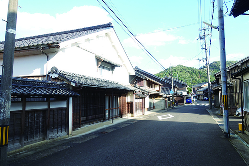
若狭街道と針畑越えの分岐となっている遠敷。かつては国府が置かれ、国分寺や若狭一の宮が鎮座する若狭の政治・経済の中心だった場所。今も江戸末期から明治にかけて建てられた重厚な建物が並び、街道情緒が色濃く残る。
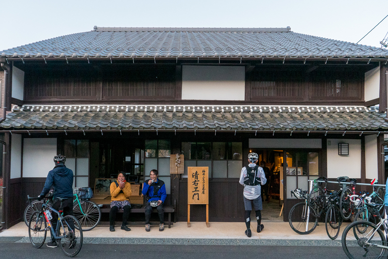
街道沿いの築200年の古民家を改修して作られた、地域交流やまちづくり拠点施設。街道散策の休憩処の他、地域のガイドやイベントも行われている。
