


![]()
![]()
![]()
![]()
![]()
![]()
![]()
![]()


熊川宿から小浜までの鯖街道のハイライト的なルートに、海沿いの港町をめぐるルートを組み合わせた、鯖街道の起点のまちを深く探るコースだ。まずは旧道を散策しながら瓜割の滝を目指す。若狭は水が豊かな地域で、湧き水は里の暮らし に利用されるだけでなく、海底からも湧き出し海を豊かにしている。漁港周辺で焼き鯖などの海鮮グルメを楽しんだら、市街地を離れ内外海半島の先へ。阿納から田烏までリアス海岸の細かな湾に小さな漁村が続き、日本海を左手に眺めなが らの爽快なサイクリングが楽しめる。今も日本海の幸を供給し続ける若狭の歴史と文化を探してみたい。
It's a course that explores in depth the town where the Saba-kaido Road starts, combining a highlight route from Kumagawa-juku to Kohama with a route that goes through port towns along the sea. Let's take a walk along the old road and aim for Uriwari Falls. Wakasa is an area rich in water, and spring water is not only used for village life, but also springs from the seabed to enrich the ocean. After enjoying grilled mackerel and other seafood flavors around the fishing port, I left the city and headed to the tip of the Naikai Peninsula. From Ano, a small fishing village continues into a fine bay on the Tawasumadrias coast, and you can enjoy exhilarating cycling while looking out at the Sea of Japan with your left. I would like to search for the history and culture of Wakasa, which continues to supply seafood from the Sea of Japan even now.
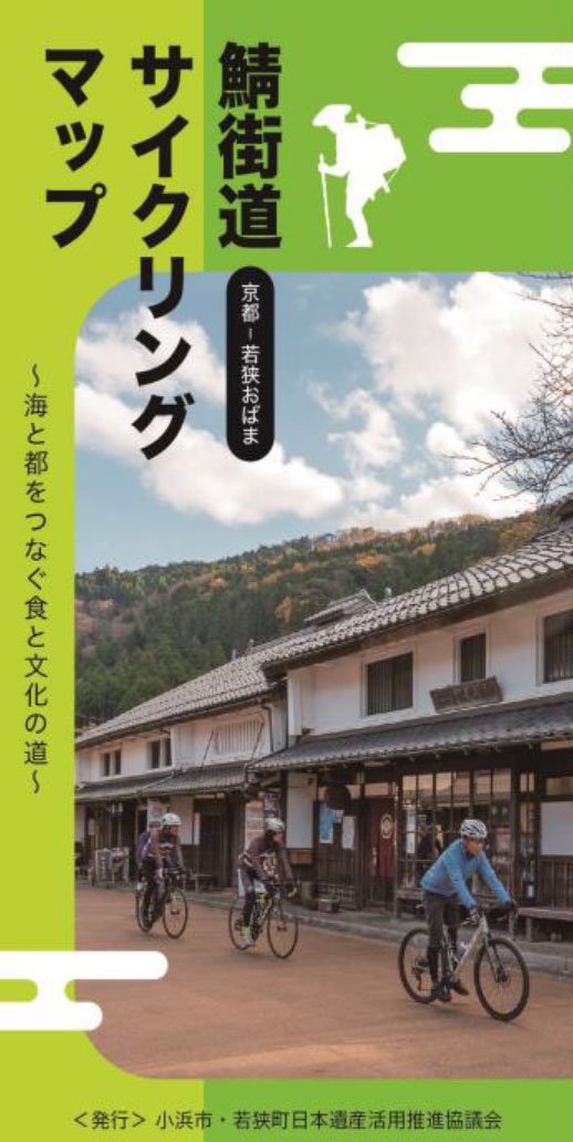
~海と都をつなぐ食と文化の道~
マップ詳細へ※オンラインの地図上でサイクリングルートが閲覧できるウェブサイト「ルートラボ」が2020年3月末でサービス終了したため、「bikemap」に変更したことで、bikemap内の距離や高低差に誤差が生じている場合がありますが、ご理解ご了承の程、よろしくお願いします。
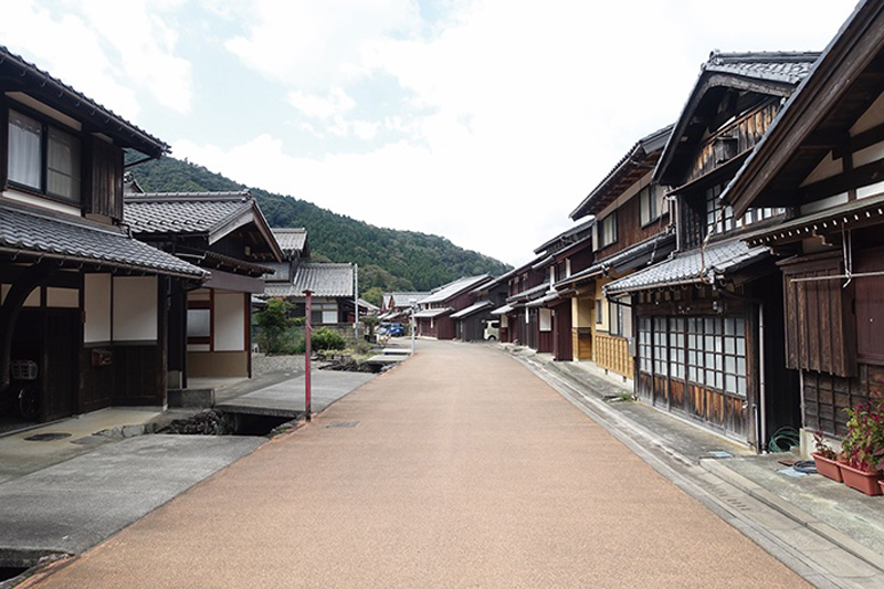
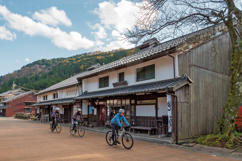
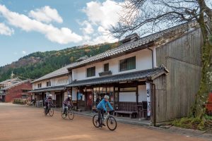
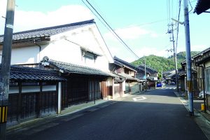
鯖街道の中でも最大の物流量を誇る「若狭街道」で、特に大きな宿場町だったのが熊川宿だ。国道より一本奥へと入れば、重要伝統的建造物群保存地区に選定されたレトロな町並みが現れる。現在は建物をリノベーションしたカフェやショップも並ぶ。道の駅が目印だ。
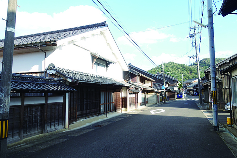
若狭街道と針畑越えの分岐となっている遠敷。かつては国府が置かれ、国分寺や若狭一の宮が鎮座する若狭の政治・経済の中心だった場所。今も江戸末期から明治にかけて建てられた重厚な建物が並び、街道情緒が色濃く残る。
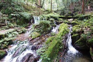
若狭町、天徳寺の境内にある岩間から湧き出る滝。夏でも水に付けておいた瓜が割れるほど冷たいことからその名が付いた。全国名水百選に選ばれており、この水を□みに来る人が常に絶えない。(水を持ち帰る場合は清掃協力金300円必要)
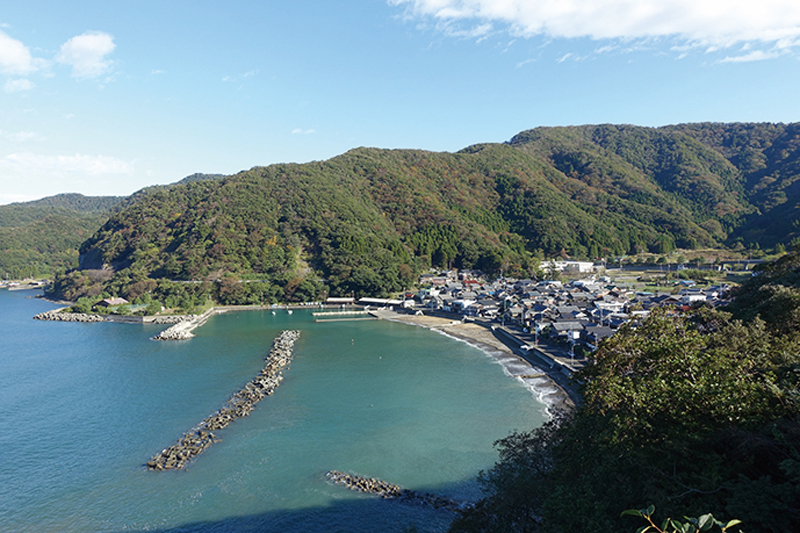
内外海半島の外側には若狭湾が広がり、リアス海岸に作られた湾にそれぞれ小さな漁村が点在する。鯖やフグなどの養殖が盛んな地域で、御食国・若狭を支える場所となっている。静かな漁村には民宿も多く、美しい海を見ながらゆったりと過ごせるだろう。
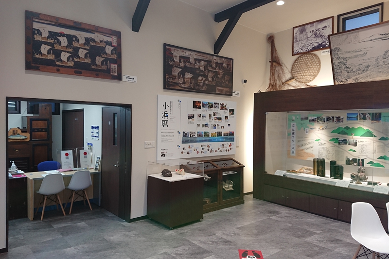
小浜市鯖街道ミュージアムは、日本遺産ガイダンス施設で、日本遺産に認定されている「鯖街道」をはじめとする小浜市の文化財や伝統芸能、祭礼等を紹介しています。小浜市の伝統芸能や祭礼を紹介する映像、トリックアートやフェノロジーカレンダー(祭礼行事や食の旬等を表した季節暦)等を展示。
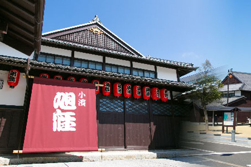
福井県内で唯一現存する明治期の芝居小屋「旭座」を移築復原。観光案内・物販、休憩施設等と併せ、小浜西組重伝建地区へのまち歩き観光拠点です。落語を含めた様々なイベントが定期的に実施されている。
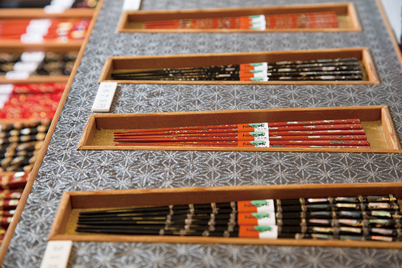
日本の塗り箸の8割が生まれる若狭小浜。若狭塗箸は昔から盛んだった漆器作りの技法で、アワビの貝殻卵殻などで装飾された
優美な箸だ。そんな若狭の箸のショールームがこの施設。館内では三千種の箸が展示販売される。
