


![]()
![]()
![]()
![]()
![]()
![]()
![]()
![]()
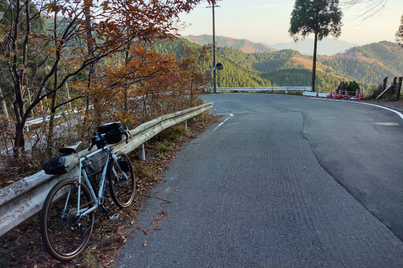

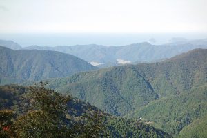
鯖街道には、最大の物流量を誇った遠敷から熊川へ向かう若狭街道のほかに、遠敷から急峻な針畑峠を越えて朽木へ抜ける「針畑越え」がある。最古の鯖街道と呼ばれるこの道は、古道に並ぶ形で舗装路が走り、自転車で挑むことが可能。京都への最短距離と言われる道には3つの大きな峠が待ち構え、その獲得標高は 2000m 近くにもなる。人里離れた山間部を走る針畑越えでは、静寂の中で自然の美しさに包まれながら走ることができる。おにゅう峠からの絶景はこのコースを制した者のご褒美だ。
In addition to the Wakasa Kaido, which heads to Kumagawa from Onshiki, which boasted the largest logistics flow, there is also a “Harihata Crossing,” which crosses a steep Harihata Pass from Onjiki and passes through to Kutsuki. This road, which is called the oldest Saba-kaido Road, is shaped like an old road, and it is possible to run on a paved road and challenge it by bicycle. There are 3 large mountain passes waiting on the road, which is said to be the shortest distance to Kyoto, and the elevation obtained is close to 2000 meters. After crossing a needle field in a secluded mountainous area, you can run while surrounded by natural beauty in silence. The spectacular view from Onyu Pass is a reward for those who pass this course.
~海と都をつなぐ食と文化の道~
マップ詳細へ※オンラインの地図上でサイクリングルートが閲覧できるウェブサイト「ルートラボ」が2020年3月末でサービス終了したため、「bikemap」に変更したことで、bikemap内の距離や高低差に誤差が生じている場合がありますが、ご理解ご了承の程、よろしくお願いします。
出町をスタートしたら一路北へ。叡山電鉄を左に見ながら走れば、やがて鞍馬寺の参道に広がる街道風情豊かな街並みに差し掛かる。その先は□街道最初の難所・花脊峠だ。京都らしい名前とは裏腹に、約6kmで500mほど登るつづら折りの道は、後半になるほど勾配がキツい激坂となる。
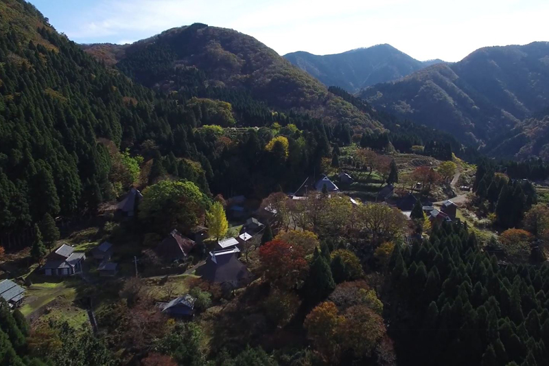
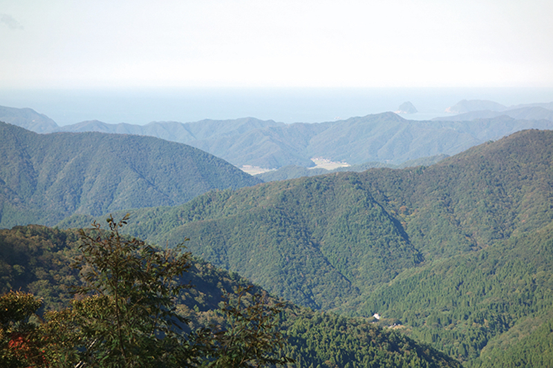
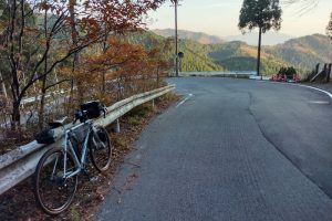
針畑川に沿って進むと、その先で小入谷へと向かう林道が始まる。林道入口から4kmほどで、雲海の写真で有名な撮影スポットへとたどり着く。眼下に見える尾根伝いの道が絵になる場所だ。さらに登っておにゅう峠の頂上へ。いよいよ福井県。遠く山々の先に日本海が姿を見せる。
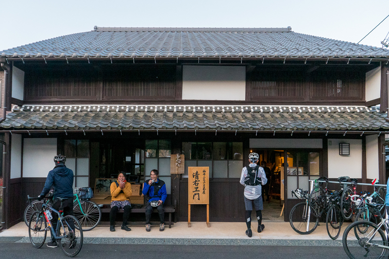
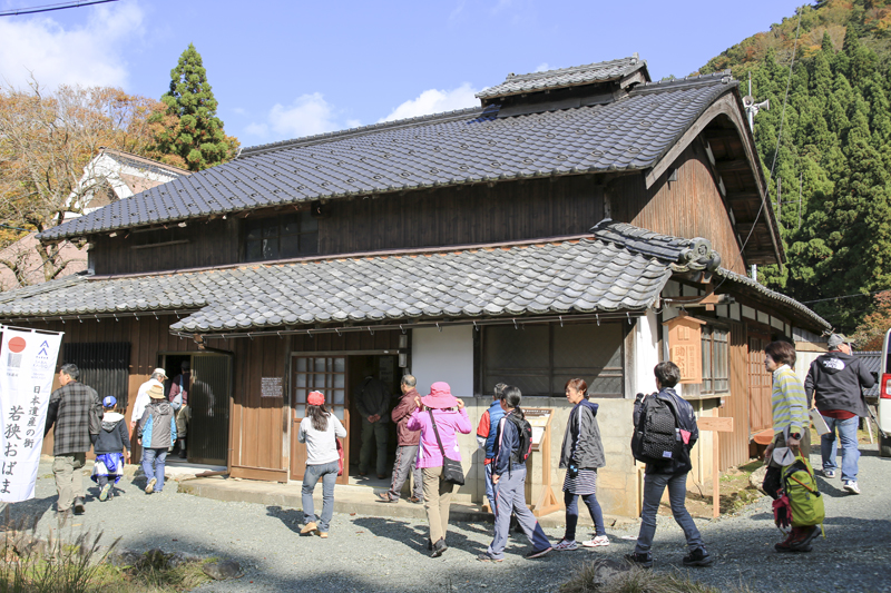
街道沿いの築200年の古民家を改修して作られた、地域交流やまちづくり拠点施設。街道散策の休憩処の他、地域のガイドやイベントも行われている。
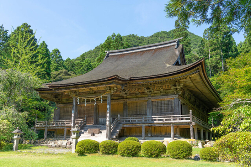
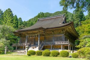
若狭と奈良が古来より深い繋がりがあったことを物語る寺。奈良・東大寺二月堂のお水取りは有名だが、その香水は神宮寺の神事「お水送り」にて、遠敷川(鵜の瀬)で流され、10日間の後に東大寺の「若狭井」に届くと伝わる。
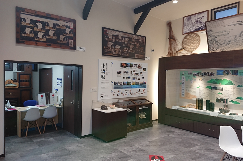
小浜市鯖街道ミュージアムは、日本遺産ガイダンス施設で、日本遺産に認定されている「鯖街道」をはじめとする小浜市の文化財や伝統芸能、祭礼等を紹介しています。小浜市の伝統芸能や祭礼を紹介する映像、トリックアートやフェノロジーカレンダー(祭礼行事や食の旬等を表した季節暦)等を展示。
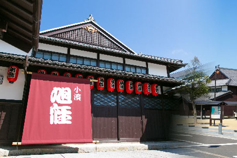
福井県内で唯一現存する明治期の芝居小屋「旭座」を移築復原。観光案内・物販、休憩施設等と併せ、小浜西組重伝建地区へのまち歩き観光拠点です。落語を含めた様々なイベントが定期的に実施されている。
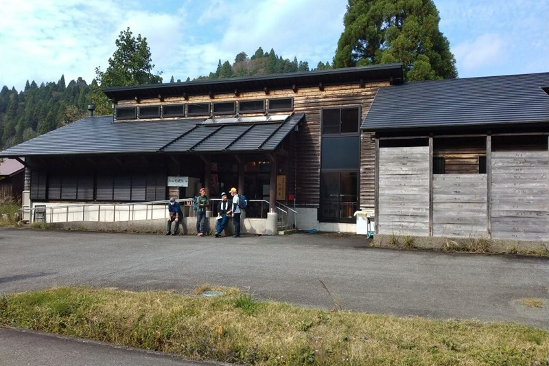
朽木針畑郷の山村都市交流館「源流の駅 山帰来(さんきらい)」。針畑郷の情報を得たり、喫茶・軽食があり、登山・ハイキングの際にも立寄り可。宿泊施設としても利用可。ガイドツアーや山里ならではの体験イベント等も有(要予約)。
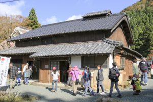
山村風景に佇む、明治期の古民家。若狭おばまの歴史や上根来集落の産業や産品の資料も展示。
