


![]()
![]()
![]()
![]()
![]()
![]()
![]()
![]()


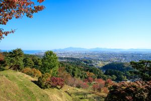
標高510mの妙高高原駅から標高4mの直江津までのダウンロードコースで、山から海までノンストップで楽しめます。
条件が良ければ高原の風を受けながら、日本海を望んで走ることができます。
This is a download course from Myoko Kogen Station at an altitude of 510 meters to Naoetsu at an altitude of 4 meters, and you can enjoy everything from the mountains to the sea nonstop.
If conditions are good, you can run while looking out at the Sea of Japan while receiving the wind from the plateau.
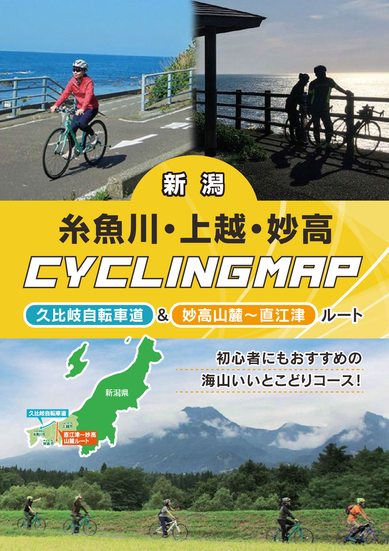
初心者にもおすすめの海山いいとこどりコース!
マップ詳細へ※オンラインの地図上でサイクリングルートが閲覧できるウェブサイト「ルートラボ」が2020年3月末でサービス終了したため、「bikemap」に変更したことで、bikemap内の距離や高低差に誤差が生じている場合がありますが、ご理解ご了承の程、よろしくお願いします。
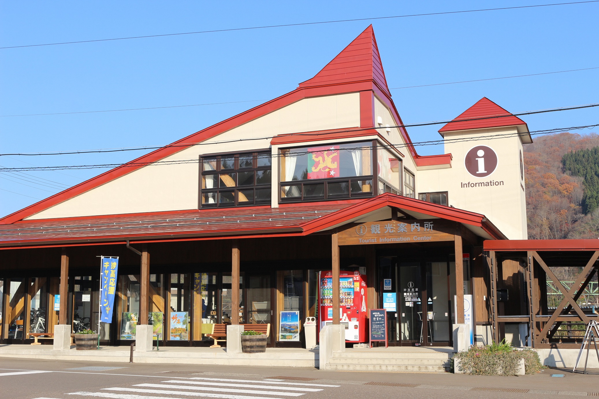
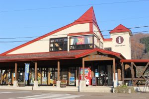
えちごトキめき鉄道妙高高原駅隣の妙高高原案内所はJNTO認定の外国人観光案内所です。レンタサイクルや宿泊斡旋の他、登山やトレッキングなどのガイドツアーの紹介もしています。
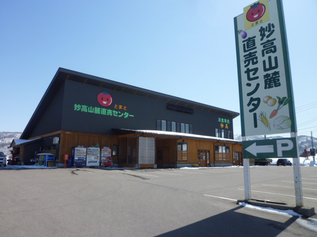
妙高山麓のとれたて野菜等、妙高の旬の味覚を販売する直売センターです。妙高の郷土料理笹寿司や地元食材を味わえる食堂も併設されています。
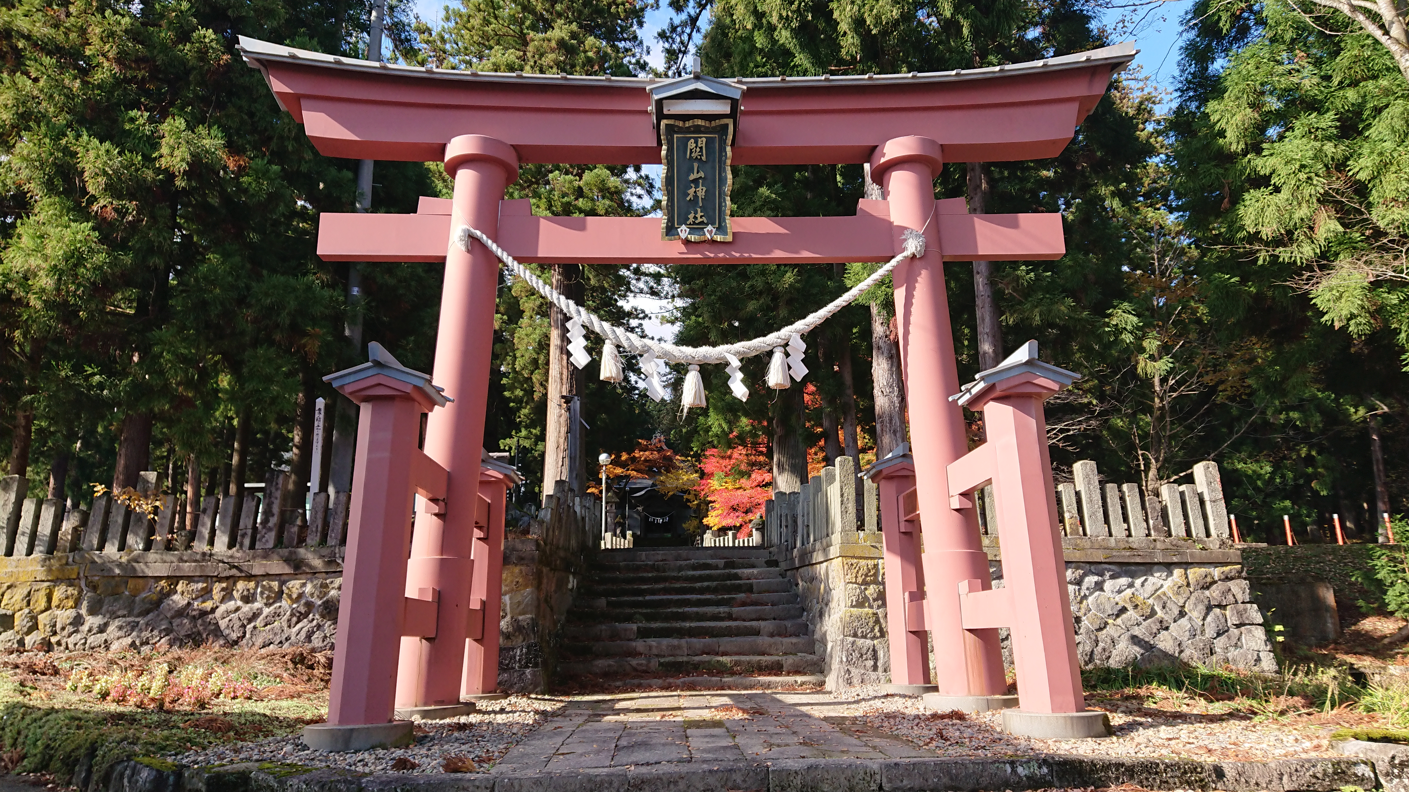
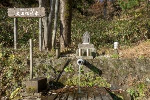
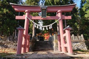
内には、国の指定文化財の旧関山宝蔵院庭園があり、毎年7月には江戸時代またはそれ以前からの修験道の伝統を継承した「火祭り」が行われます。
休憩スペースもあり、インフォメーションカウンターではコーヒーやお菓子、手芸品、地元の特産品、道の駅きっぷなどを販売しています。
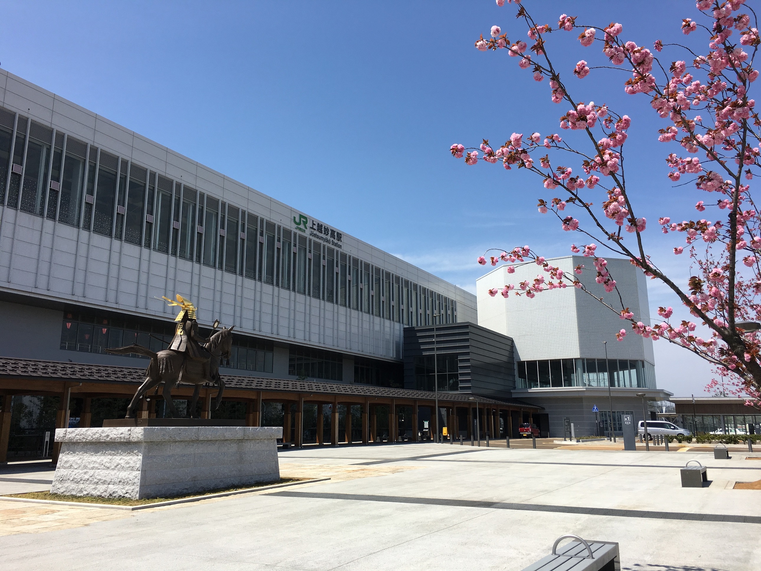
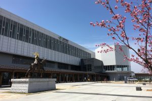
改札口の正面にある「SAKURAプラザ」では、観光案内所をはじめ、地産品を中心とした飲食・物販・弁当等販売コーナーがあり、地域の魅力を発信しています。
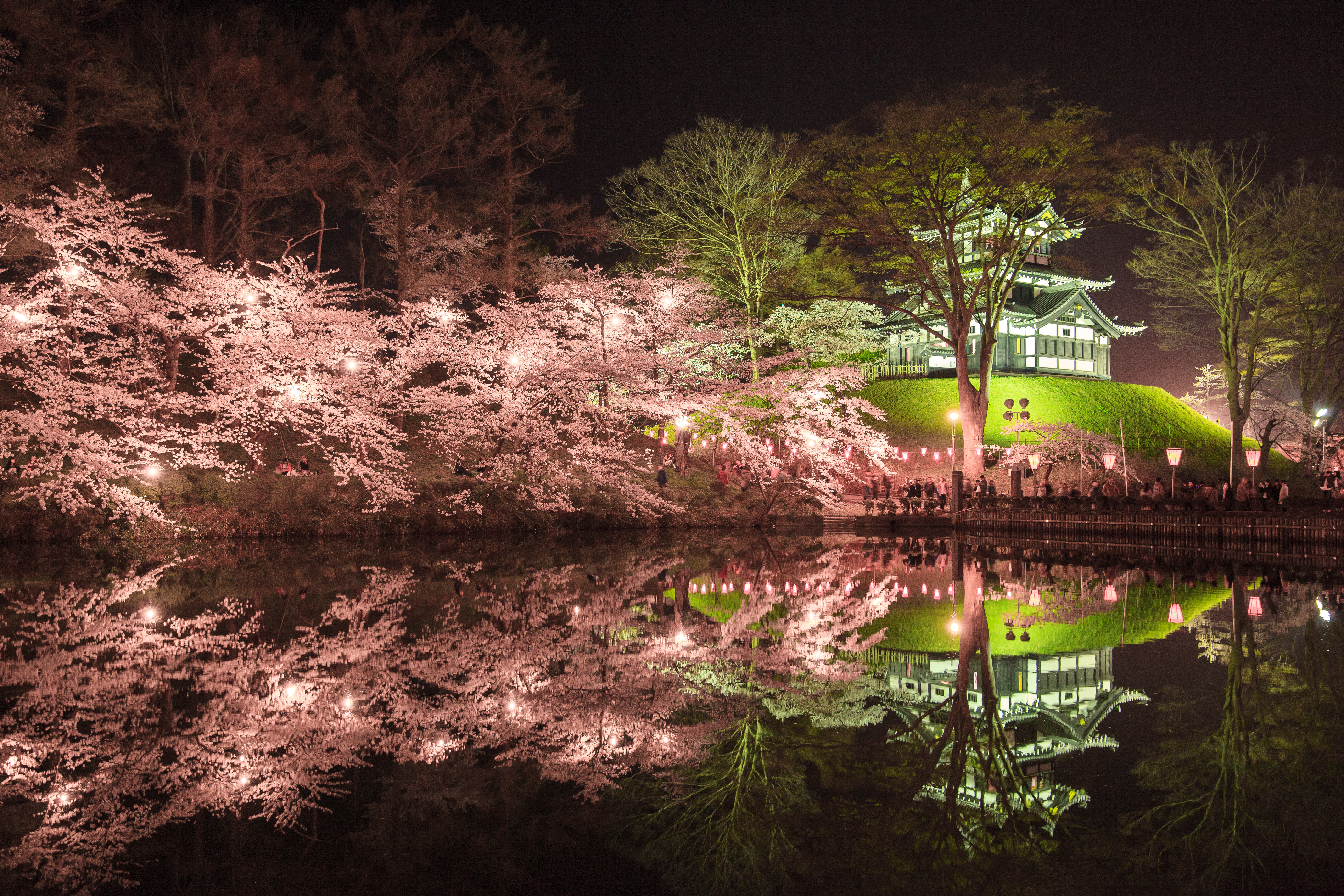
四季を通じてさまざまな表情を見せる高田城址公園は、春には「日本三大夜桜」の一つに数えられる桜、夏には「東洋一」と称される蓮の名所としても有名です。園内には、復元された高田城三重櫓や歴史博物館、小林古径記念美術館、小川未明文学館などもあり、見どころいっぱい。
今も空堀や郭跡、大井戸などが残り、典型的な山城の姿をとどめている国指定史跡です。本丸から眼下に見える日本海や高田平野の展望は見事。
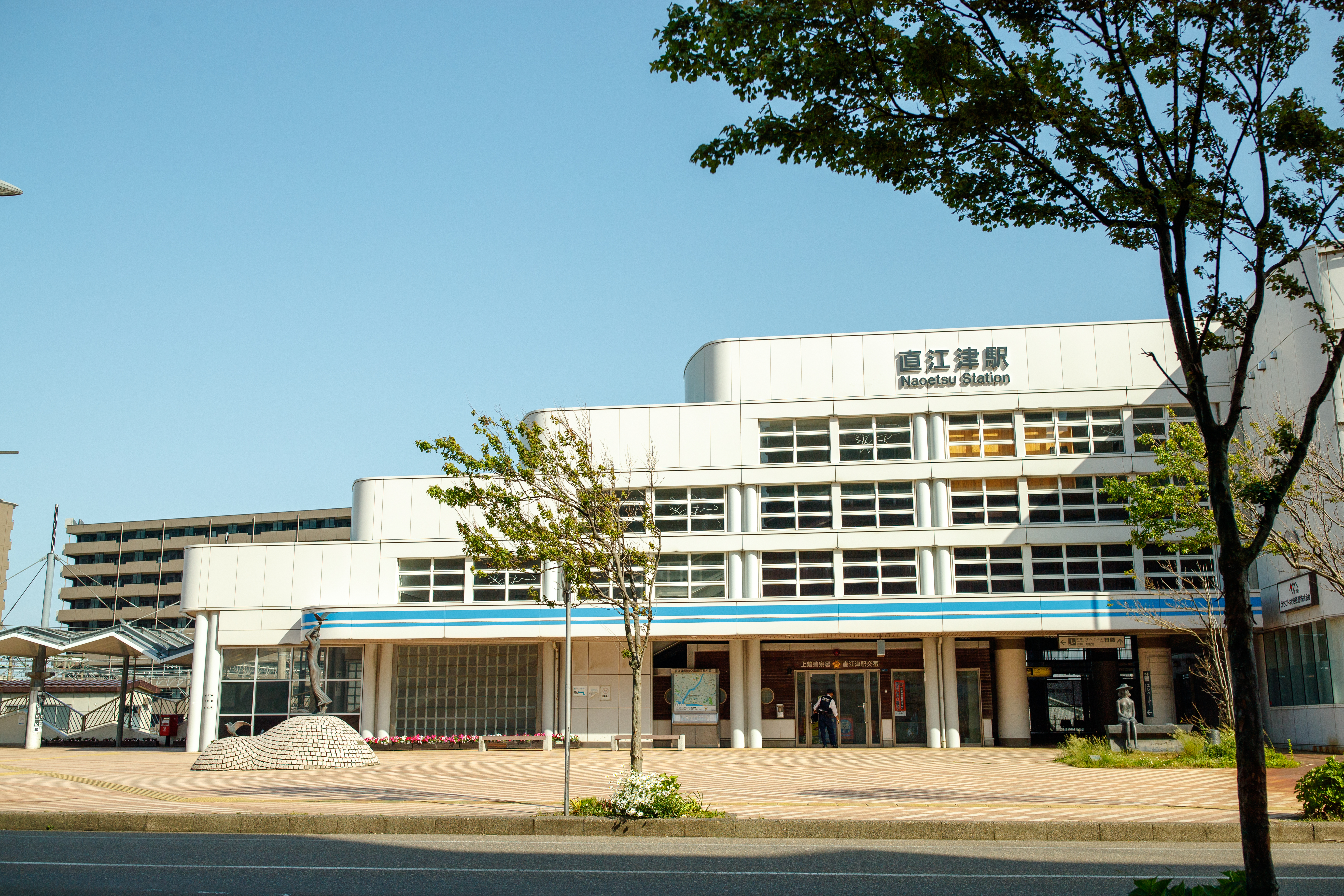
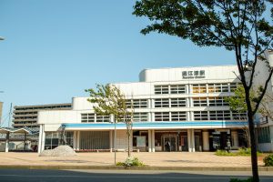
えちごトキめき鉄道直江津駅の北口を降りてすぐ。周辺観光や交通に関する情報はここで。
