


![]()
![]()
![]()
![]()
![]()
![]()
![]()
![]()
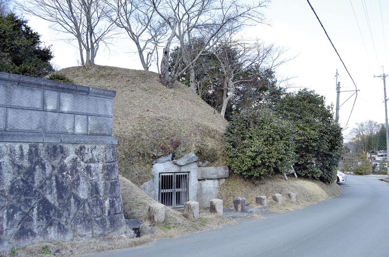
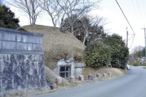
大和朝廷が日本の中心であった時代、大和西南部を本拠地としていた巨勢氏一族の本拠地があった御所市。万葉集にも名を残す「巨勢の道」は、長閑な風景の中に古墳や遺跡が溢れています。
In the days when the Yamato Imperial Court was at the center of Japan, Gose City was the home of the Kose clan, which was based in the southwestern part of Yamato. “Kose no Michi,” which left its name in the Manyoshu, is full of burial mounds and ruins in a quiet landscape.
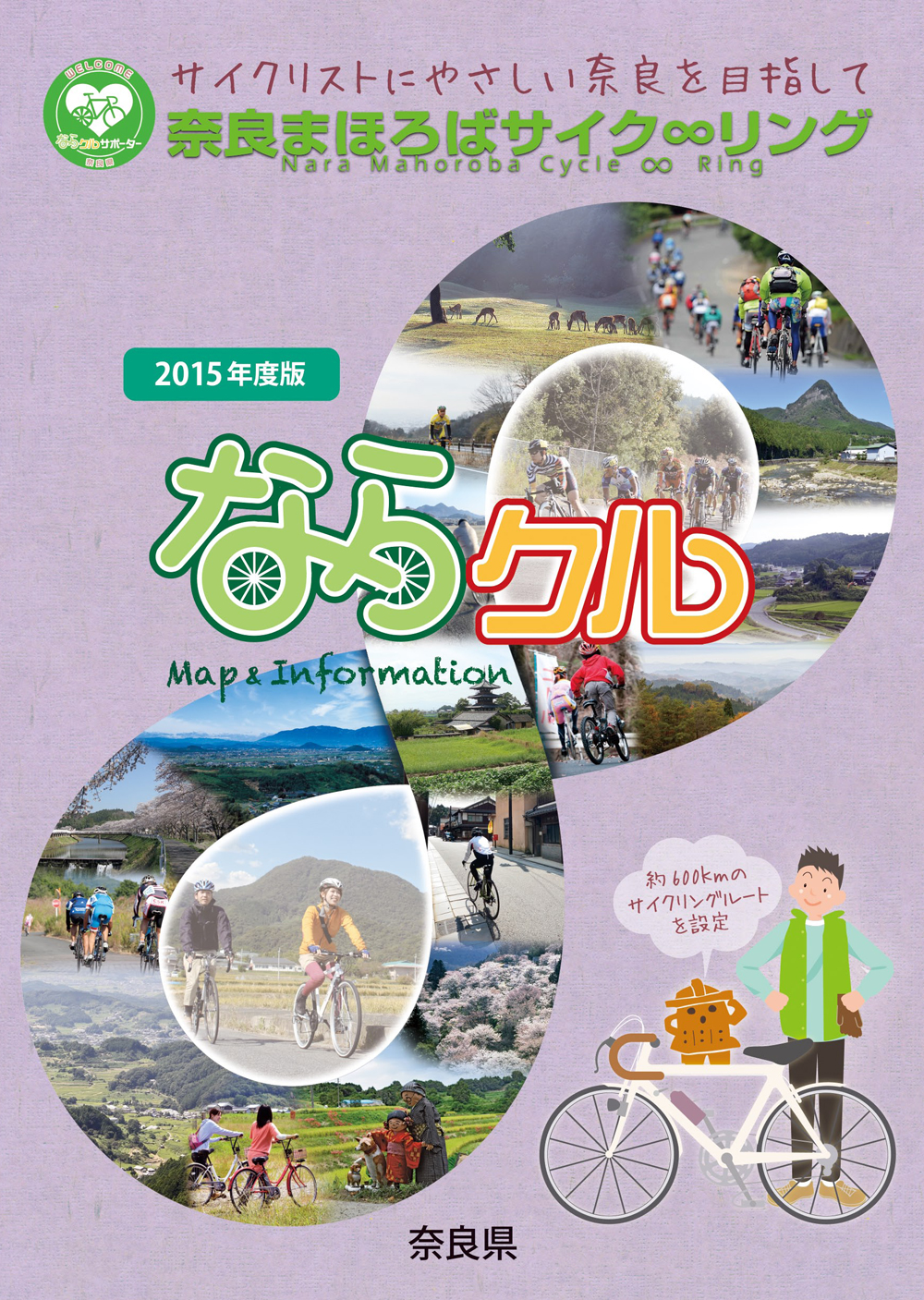
約600kmに及ぶ「奈良まほろばサイク∞リング」“略称:ならクル”の31ルート+補助幹線ルートを紹介するマップ。
マップ詳細へ※オンラインの地図上でサイクリングルートが閲覧できるウェブサイト「ルートラボ」が2020年3月末でサービス終了したため、「bikemap」に変更したことで、bikemap内の距離や高低差に誤差が生じている場合がありますが、ご理解ご了承の程、よろしくお願いします。
奈良県では、自転車利用者の皆様がサイクリング中に気軽に立ち寄って休息していただける場所として「自転車の休憩所」を認定しています。
「自転車の休憩所」のいずれの場所でも駐輪スペースが確保されているほか、トイレの提供や空気入れ(スポーツサイクル対応の無料貸し出しを行っています)
また、場所によってはバイクスタンドなどのその他のサービスを提供しています。
