


![]()
![]()
![]()
![]()
![]()
![]()
![]()
![]()

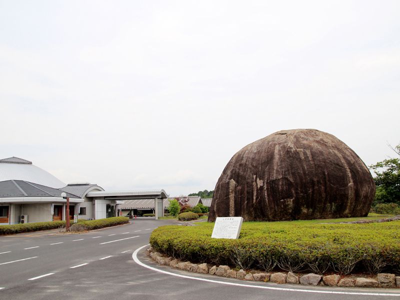
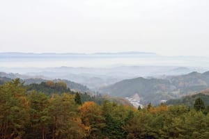
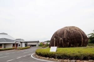
山添村内には不思議な巨石・イワクラや歴史の深い社寺が点在しています。縄文時代から伝わる古代の信仰の跡をたどり、パワーを授かりましょう。少し足を延ばせば鍋倉渓の奇景も興味深い神野山。展望台からの眺めは360°!
Yamazoe Village is dotted with mysterious megaliths, Iwakura, and historic shrines and temples. Let's follow the footsteps of ancient beliefs handed down from the Jomon period and receive power. If you go a little further, the spectacular view of Nabekura Gorge is also interesting at Mount Kano. The view from the observatory is 360°!
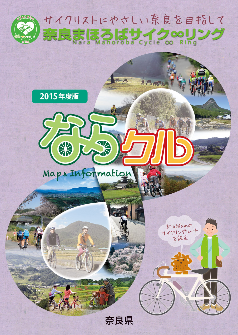
約600kmに及ぶ「奈良まほろばサイク∞リング」“略称:ならクル”の31ルート+補助幹線ルートを紹介するマップ。
マップ詳細へ※オンラインの地図上でサイクリングルートが閲覧できるウェブサイト「ルートラボ」が2020年3月末でサービス終了したため、「bikemap」に変更したことで、bikemap内の距離や高低差に誤差が生じている場合がありますが、ご理解ご了承の程、よろしくお願いします。

奈良県では、自転車利用者の皆様がサイクリング中に気軽に立ち寄って休息していただける場所として「自転車の休憩所」を認定しています。
「自転車の休憩所」のいずれの場所でも駐輪スペースが確保されているほか、トイレの提供や空気入れ(スポーツサイクル対応の無料貸し出しを行っています)
また、場所によってはバイクスタンドなどのその他のサービスを提供しています。
奈良県では自転車愛好家の方に安心して自転車旅行を楽しんでいただくために「サイクリストに優しい宿」を認定しています。「サイクリストにやさしい宿」とは、自転車を安心して屋内に保管でき、自転車搬送サービスのとりつぎが可能な宿泊施設です。
